Cressingham, Great
Settlement in Norfolk Breckland
England
Cressingham, Great
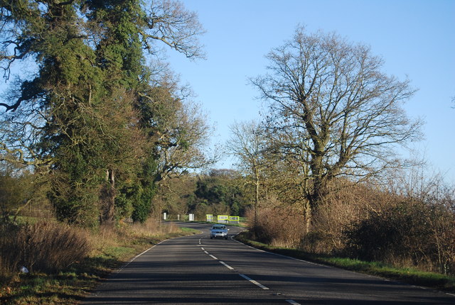
Cressingham is a small village located in the county of Norfolk, in the eastern part of England. Situated within the district of Breckland, the village is part of the civil parish of Great Cressingham.
With a population of around 250 residents, Cressingham is a tight-knit community known for its tranquil and picturesque setting. Surrounded by beautiful countryside, the village offers stunning views of the Norfolk landscape, making it an attractive destination for nature enthusiasts and those seeking a peaceful retreat.
Historically, Cressingham dates back to the Domesday Book of 1086, where it was recorded as being a settlement of significant agricultural importance. Today, remnants of its agricultural roots can still be seen in the surrounding farmland, which contributes to the village's rural charm.
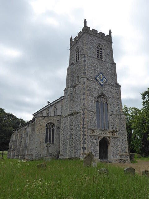
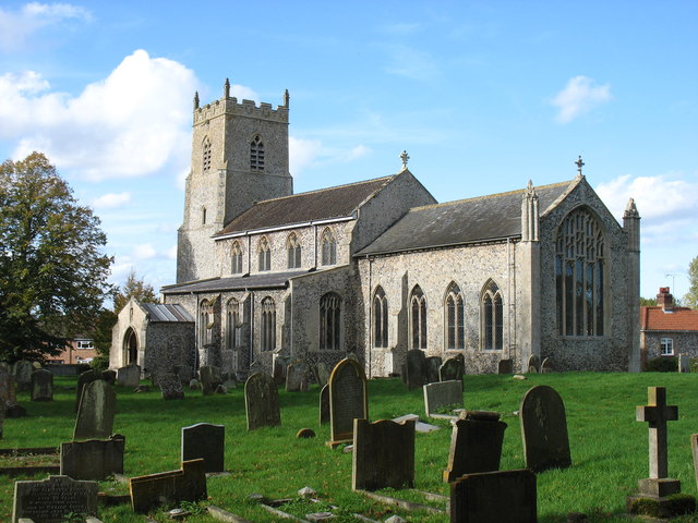
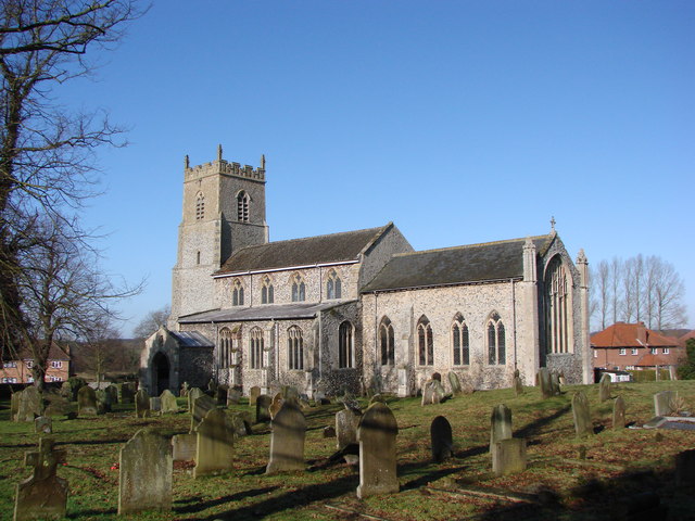
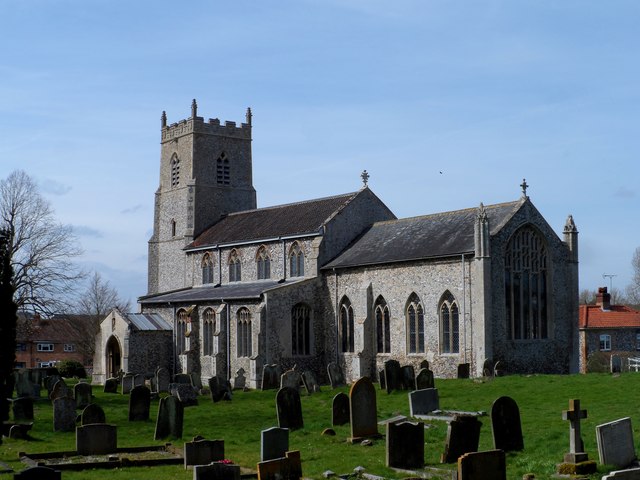
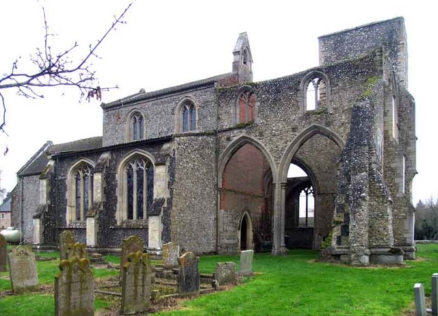
The village features several notable landmarks, including St. Michael and All Angels Church, a Grade II listed building that dates back to the 14th century. The church is cherished by both locals and visitors for its architectural beauty and rich history.
While Cressingham itself is small, it benefits from its proximity to neighboring towns and villages, such as Watton and Swaffham, which offer a range of amenities including shops, schools, and healthcare facilities.
Overall, Cressingham is a quintessential English village, offering a peaceful and idyllic setting in the heart of the Norfolk countryside. It is a place where residents can enjoy a close-knit community spirit and a slower pace of life, while still being within reach of essential services and nearby towns.
If you have any feedback on the listing, please let us know in the comments section below.
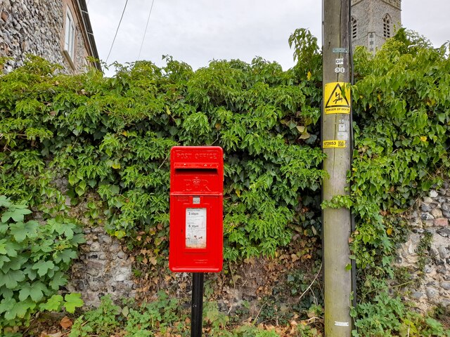
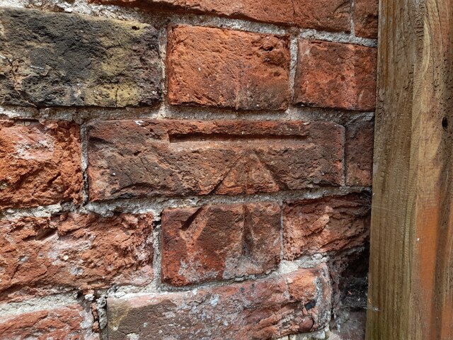
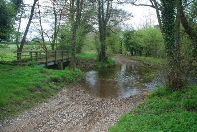
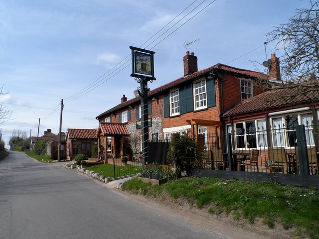
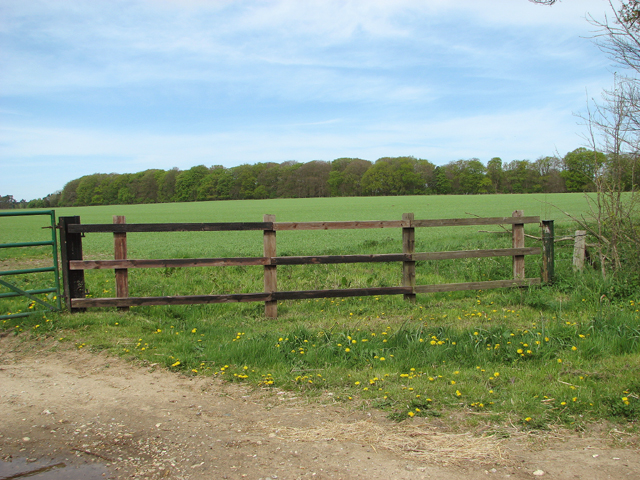
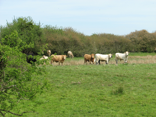
Cressingham, Great Images
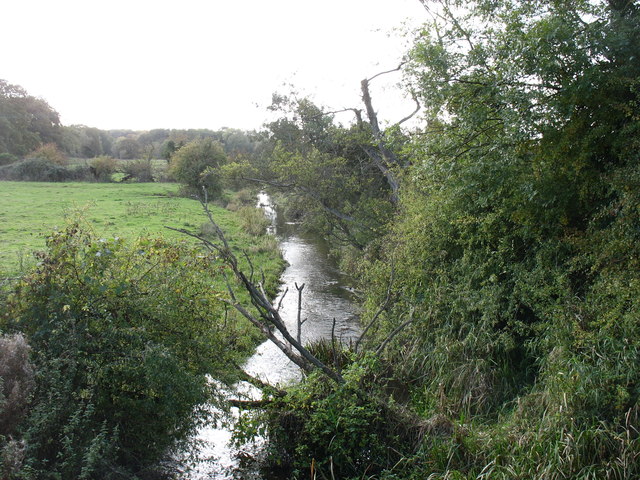
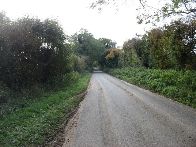
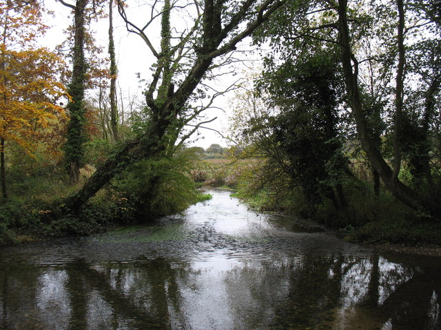
Images are sourced within 2km of 52.580378/0.727346 or Grid Reference TF8401. Thanks to Geograph Open Source API. All images are credited.


Cressingham, Great is located at Grid Ref: TF8401 (Lat: 52.580378, Lng: 0.727346)
Administrative County: Norfolk
District: Breckland
Police Authority: Norfolk
What 3 Words
///bungalows.cuddled.surely. Near Ashill, Norfolk
Nearby Locations
Related Wikis

Great Cressingham Fen
Great Cressingham Fen is a 14.3-hectare (35-acre) biological Site of Special Scientific Interest near Great Cressingham in Norfolk. It is part of the Norfolk...

Hooks Well Meadows, Great Cressingham
Hooks Well Meadows, Great Cressingham is a 15.6-hectare (39-acre) biological Site of Special Scientific Interest near Great Cressingham] in Norfolk.This...

RAF Bodney
Royal Air Force Bodney or more simply RAF Bodney is a former Royal Air Force Station located 4.5 miles (7.2 km) west of Watton, Norfolk, England. Originally...

Hilborough
Hilborough is a village and a civil parish in the English county of Norfolk. The village is 5.5 miles (8.9 km) south of Swaffham, 25.4 miles (40.9 km)...

Old Bodney Camp
Old Bodney Camp is a 32.8-hectare (81-acre) biological Site of Special Scientific Interest west of Little Cressingham in Norfolk. It is part of the Breckland...
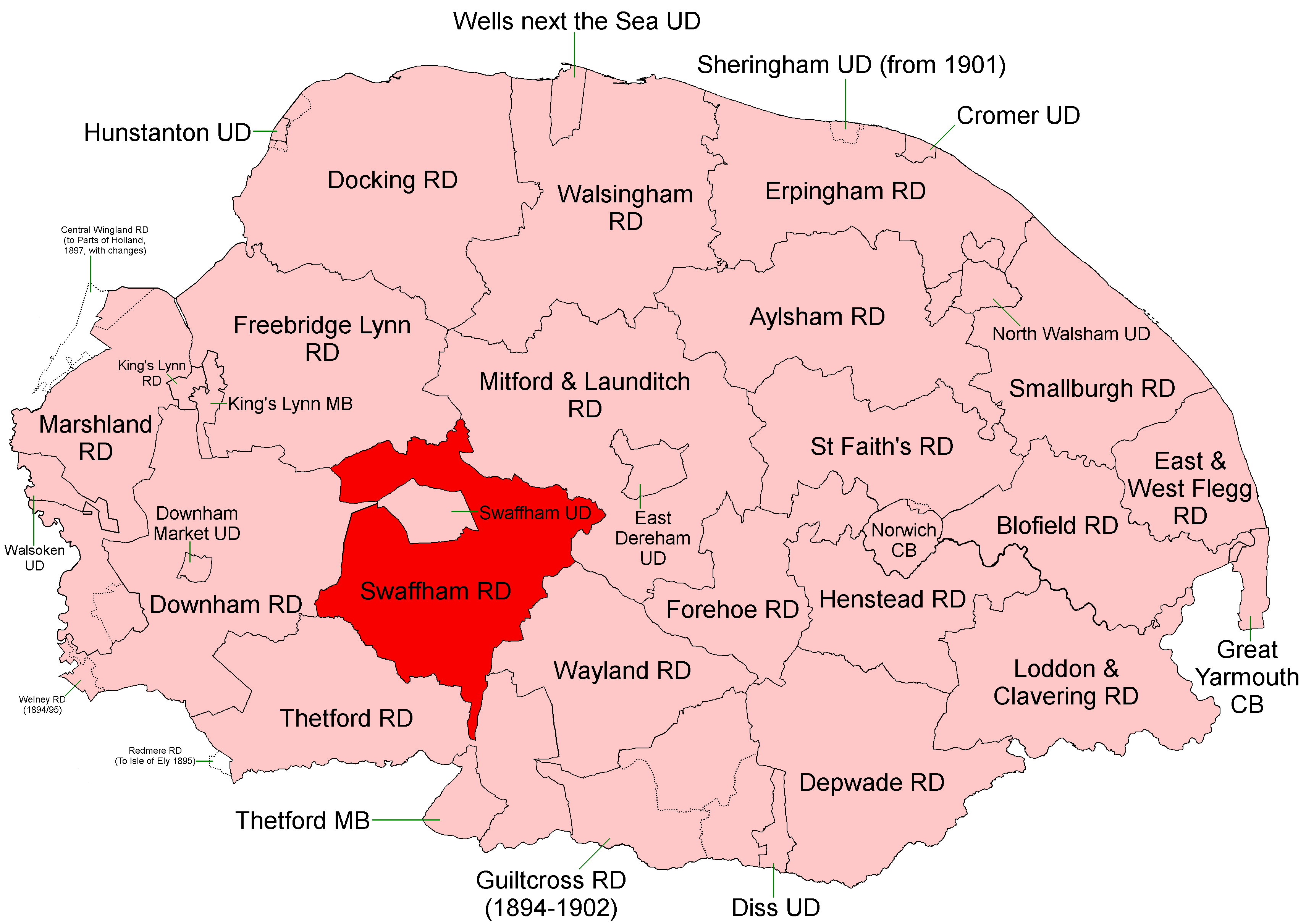
Swaffham Rural District
Swaffham Rural District was a rural district in Norfolk, England from 1894 to 1974.It was formed under the Local Government Act 1894 based on the Swaffham...

South Pickenham
South Pickenham is a small village and civil parish in the Breckland district of mid Norfolk, East Anglia, England. It has an area of 758 hectares (2.93...
Little Cressingham
Little Cressingham lies 2.5 miles (4.0 km) south east by road from Great Cressingham, 3 miles (4.8 km) west of Watton and 8 miles (13 km) south of Swaffham...
Nearby Amenities
Located within 500m of 52.580378,0.727346Have you been to Cressingham, Great?
Leave your review of Cressingham, Great below (or comments, questions and feedback).