Birch Wood

Wood, Forest in Essex Colchester

England

Birch Wood

Birch, St. Peter's Church: Western aspect occluded by trees
Birch, St. Peter's Church: Western aspect occluded by trees Credit: Michael Garlick

Birch Wood is a picturesque forest located in Essex, England. Stretching over an area of approximately 400 hectares, it is a popular destination for nature enthusiasts and outdoor enthusiasts alike. The wood is primarily composed of birch trees, which give it its name, but also features a diverse range of other tree species such as oak, beech, and pine.

The forest is known for its tranquil and serene atmosphere, making it an ideal place for relaxation and leisurely walks. The forest floor is covered with a thick carpet of moss and ferns, creating a lush and green landscape. As visitors explore the wood, they may encounter a variety of wildlife including deer, squirrels, and a wide range of bird species.

For those interested in history, Birch Wood has an intriguing past. It was once part of a much larger forest that covered a significant portion of Essex, providing timber for various industries. Today, remnants of this history can still be seen in the form of old logging tracks and the occasional abandoned sawmill.

The forest offers a network of well-maintained walking trails, allowing visitors to explore its beauty at their own pace. These trails range in difficulty, accommodating both casual strollers and more avid hikers. Numerous picnic areas and benches are scattered throughout the wood, providing a perfect spot to rest and enjoy the surroundings.

Birch Wood is easily accessible, with ample parking facilities available nearby. Whether visitors are seeking a peaceful retreat, a chance to reconnect with nature, or simply a break from the hustle and bustle of everyday life, Birch Wood is an idyllic destination to immerse oneself in the beauty of the Essex countryside.

If you have any feedback on the listing, please let us know in the comments section below.
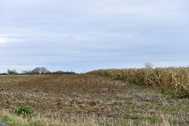
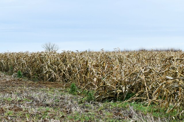
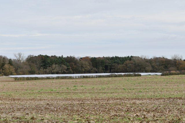
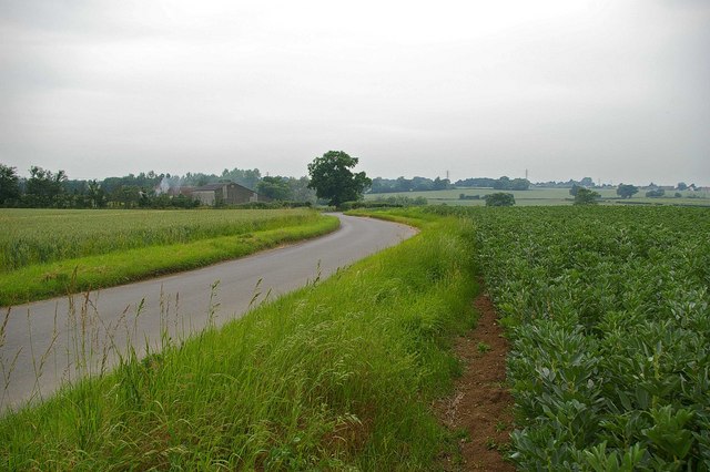
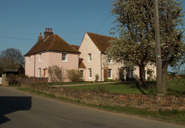
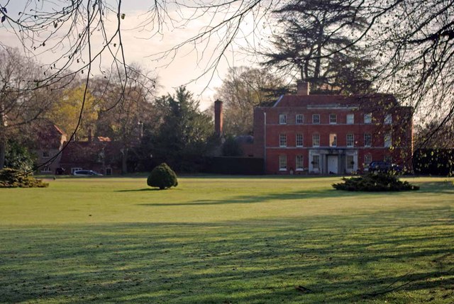
Birch Wood Images

Images are sourced within 2km of 51.853538/0.83959646 or Grid Reference TL9521. Thanks to Geograph Open Source API. All images are credited.

Birch, St. Peter's Church: Western aspect occluded by trees
Birch: 'Linden House'
Birch Church of England Primary School
Birch: Plaque to show that three trees were planted in 1995 to remember V.E. Day and V.J. Day
Birch: Unharvested maize crop
Birch: Harvested field
Morris Minor parked in Oliver's lane I took this pic in black & white to make it appear as an old fashioned photo from the 50s, and not as a modern pic from 2022. The car in question is a Morris Minor MM, which thankfully, has its original reg no (issued in 1952 in East Sussex according to "Where's It From; When was It Issued" book on UK registration numbers I have in my possession); and not one of those "age related" plates you often see on vehicles of its age (which I don't like).
Morris Minor parked in Oliver's lane
I took this pic in black & white to make it appear as an old fashioned photo from the 50s, and not as a modern pic from 2022. The car in question is a Morris Minor MM, which thankfully, has its original reg no (issued in 1952 in East Sussex according to "Where's It From; When was It Issued" book on UK registration numbers I have in my possession); and not one of those "age related" plates you often see on vehicles of its age (which I don't like).
Junction of Church Road and Birch Road Layer de la Haye
Layer de la Haye: The Layer Fox P.H.
Layer de la Haye: 2 High Road
Layer de la Haye: Village Sign
Layer de la Haye: 11, 11a High Road
New Hedge in Pudding Lane When I was a nipper I remember the hedges round here being grubbed up, encouraged by the policies  and financial incentives  of  the Ministry of Agriculture. Today in order to qualify for the Higher Level Stewardship Scheme subsidies hedges are in fashion  once  more <span class="nowrap"><a title="http://www.naturalengland.gov.uk/ourwork/farming/funding/es/hls/default.aspx" rel="nofollow ugc noopener" href="http://www.naturalengland.gov.uk/ourwork/farming/funding/es/hls/default.aspx">Link</a><img style="margin-left:2px;" alt="External link" title="External link - shift click to open in new window" src="https://s1.geograph.org.uk/img/external.png" width="10" height="10"/></span>
Here volunteers from The Essex Wildlife Trust <span class="nowrap"><a title="http://www.essexwt.org.uk/" rel="nofollow ugc noopener" href="http://www.essexwt.org.uk/">Link</a><img style="margin-left:2px;" alt="External link" title="External link - shift click to open in new window" src="https://s1.geograph.org.uk/img/external.png" width="10" height="10"/></span> Groundworks UK <span class="nowrap"><a title="http://www.groundwork.org.uk/" rel="nofollow ugc noopener" href="http://www.groundwork.org.uk/">Link</a><img style="margin-left:2px;" alt="External link" title="External link - shift click to open in new window" src="https://s1.geograph.org.uk/img/external.png" width="10" height="10"/></span> and staff from Anglian Water are just completing  a days work replanting the hedge with a mixture of native species. This is part of the four Parishes Living Landscapes Project <span class="nowrap"><a title="http://www.essexwt.org.uk/news/four_parishes_hedgerow_project/" rel="nofollow ugc noopener" href="http://www.essexwt.org.uk/news/four_parishes_hedgerow_project/">Link</a><img style="margin-left:2px;" alt="External link" title="External link - shift click to open in new window" src="https://s1.geograph.org.uk/img/external.png" width="10" height="10"/></span>  that aims to restore four kilometres of hedgerow to provide a wildlife corridor between the dormice populations on  <a href="https://www.geograph.org.uk/photo/153919">TL8714 : Tiptree Heath</a> and <a href="https://www.geograph.org.uk/photo/142671">TL9721 : Roman River Reserve</a>. The landowners get free trees and labour in exchange for a commitment to maintain the new hedge. See the start of the days toil at <a href="https://www.geograph.org.uk/photo/3352267">TL9419 : New Hedge In Birch Green</a> and the results of a previous sortie at
 <a href="https://www.geograph.org.uk/photo/3352294">TL9318 : New Hedge on Winter's Hill</a>
New Hedge in Pudding Lane
When I was a nipper I remember the hedges round here being grubbed up, encouraged by the policies and financial incentives of the Ministry of Agriculture. Today in order to qualify for the Higher Level Stewardship Scheme subsidies hedges are in fashion once more LinkExternal link Here volunteers from The Essex Wildlife Trust LinkExternal link Groundworks UK LinkExternal link and staff from Anglian Water are just completing a days work replanting the hedge with a mixture of native species. This is part of the four Parishes Living Landscapes Project LinkExternal link that aims to restore four kilometres of hedgerow to provide a wildlife corridor between the dormice populations on TL8714 : Tiptree Heath and TL9721 : Roman River Reserve. The landowners get free trees and labour in exchange for a commitment to maintain the new hedge. See the start of the days toil at TL9419 : New Hedge In Birch Green and the results of a previous sortie at TL9318 : New Hedge on Winter's Hill
Pumping Station A typical piece of 1930's architecture, the pump house for Abberton Reservoir.
Pumping Station
A typical piece of 1930's architecture, the pump house for Abberton Reservoir.
St. Peter's Church In the village of Birch
St. Peter's Church
In the village of Birch
Crop Rotation? at Garlands Farm This lane connects Layer Bretton and Garlands Farm (in the background). The shot seems to show half of the classic Norfolk four-course rotation scheme with legumes to the right and cereal to the left.
Crop Rotation? at Garlands Farm
This lane connects Layer Bretton and Garlands Farm (in the background). The shot seems to show half of the classic Norfolk four-course rotation scheme with legumes to the right and cereal to the left.
The farmhouse at Garlands farm
Show me another place!

Birch Wood is located at Grid Ref: TL9521 (Lat: 51.853538, Lng: 0.83959646)

Administrative County: Essex

District: Colchester

Police Authority: Essex

What 3 Words

///hike.spared.rush. Near Layer de la Haye, Essex

Related Wikis

Have you been to Birch Wood?

Leave your review of Birch Wood below (or comments, questions and feedback).