Auchenbainzie
Settlement in Dumfriesshire
Scotland
Auchenbainzie
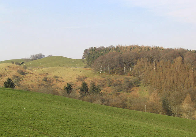
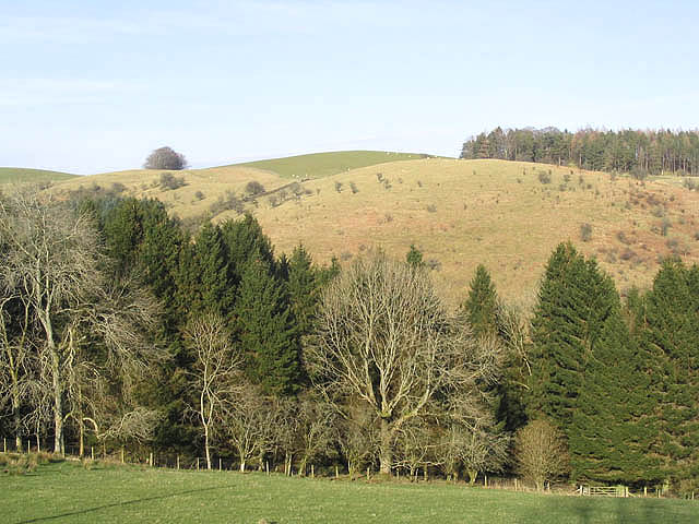
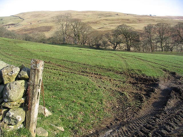
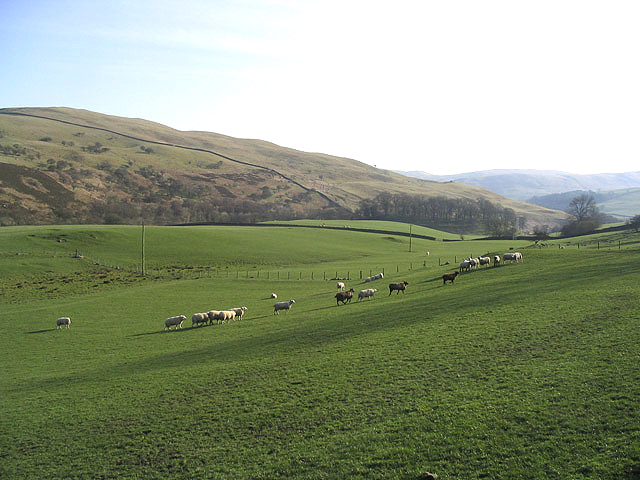
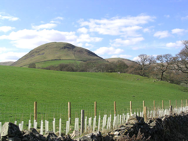
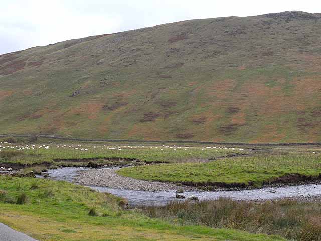
Auchenbainzie is a small village located in the historical county of Dumfriesshire, Scotland. Situated in the southern part of the country, Auchenbainzie is nestled amidst the picturesque countryside, surrounded by rolling hills and lush green fields. The village is part of the wider parish of New Luce and lies approximately 9 miles north of the town of Newton Stewart.
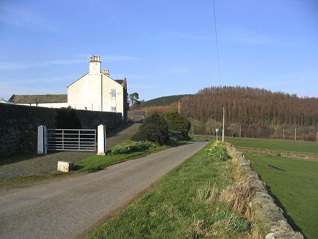
With a population of around 100 residents, Auchenbainzie exudes a tranquil and peaceful atmosphere. The village primarily consists of traditional stone-built houses, reflecting its rich architectural heritage. The community is close-knit, with residents often participating in various social activities and events organized by the parish.
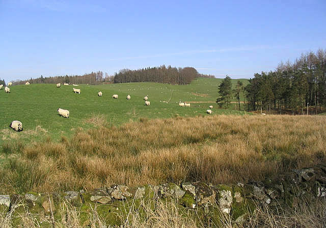
Auchenbainzie benefits from its close proximity to the Galloway Forest Park, a renowned natural reserve known for its stunning landscapes and diverse wildlife. Outdoor enthusiasts can enjoy a range of recreational activities, including hiking, cycling, and bird-watching in the park.
Although Auchenbainzie is a small village, basic amenities such as a local shop and a village hall are available to cater to the needs of its residents. For more extensive services and facilities, the nearby towns of Newton Stewart and Stranraer offer a wider range of options, including schools, healthcare facilities, and shopping centers.
Overall, Auchenbainzie provides a charming retreat for those seeking a peaceful countryside lifestyle, surrounded by the natural beauty of Dumfriesshire.
If you have any feedback on the listing, please let us know in the comments section below.
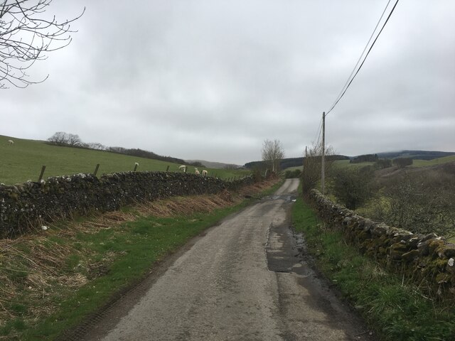
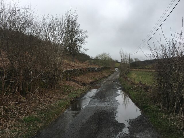
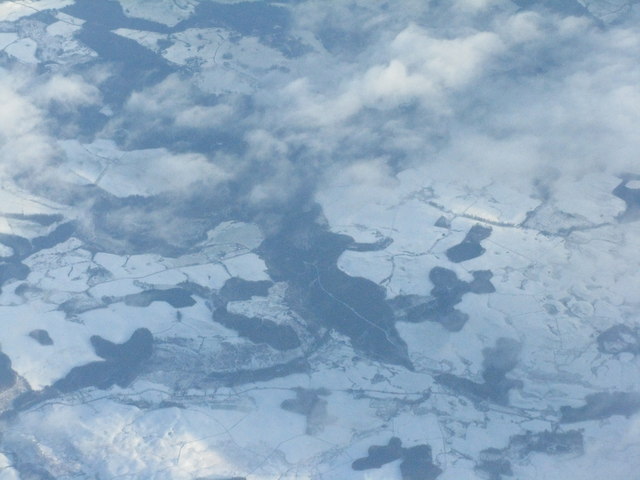
Auchenbainzie Images
Images are sourced within 2km of 55.253013/-3.8579597 or Grid Reference NX8297. Thanks to Geograph Open Source API. All images are credited.


Auchenbainzie is located at Grid Ref: NX8297 (Lat: 55.253013, Lng: -3.8579597)
Unitary Authority: Dumfries and Galloway
Police Authority: Dumfries and Galloway
What 3 Words
///avoiding.jubilant.sits. Near Thornhill, Dumfries & Galloway
Nearby Locations
Related Wikis

Grennan Hill
Grennan Hill is the site of an Iron Age hill fort outside Penpont in Dumfries and Galloway, Scotland. == References == Schedule "Grennan Hill, NMRS Number...
Tynron Doon
Tynron Doon is a multivallate Iron Age hill fort outside the village of Tynron in Dumfries and Galloway, Scotland. It was occupied on and off from the...

Penpont
Penpont is a village about 2 miles (3 km) west of Thornhill in Dumfriesshire, in the Dumfries and Galloway region of Scotland. It is near the confluence...

Drumlanrig Castle
Drumlanrig Castle is situated on the Queensberry Estate in Dumfries and Galloway, Scotland. The category A listed castle is the Dumfriesshire home of the...
Drumlanrig
Drumlanrig (Scottish Gaelic: Druim Lannraig) is a settlement in Dumfries and Galloway, Scotland, which is best known for nearby Drumlanrig Castle. The...
Scaur Water
Scaur Water is a river which rises near Polskeoch in the Scaur hills in the region of Dumfries and Galloway, Scotland. It flows from its source near Sanquhar...

Tynron
Tynron is a village and civil parish in Dumfries and Galloway, south-west Scotland, lying in a hollow of the Shinnel Water, 2 miles (3.2 km) from Moniaive...

Shinnel Water
Shinnel Water, also spelt Shinnell, is a river in the region of Dumfries and Galloway, Scotland. It rises in the Scaur hills of Tynron Parish in the Southern...
Nearby Amenities
Located within 500m of 55.253013,-3.8579597Have you been to Auchenbainzie?
Leave your review of Auchenbainzie below (or comments, questions and feedback).