Honeyhole Plantation
Wood, Forest in Dumfriesshire
Scotland
Honeyhole Plantation
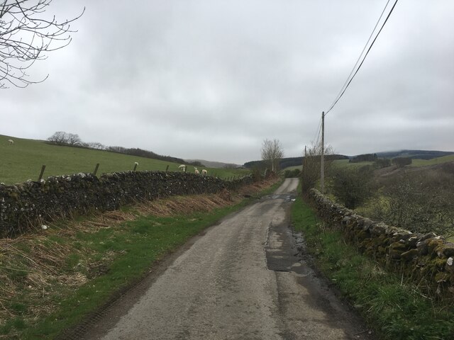
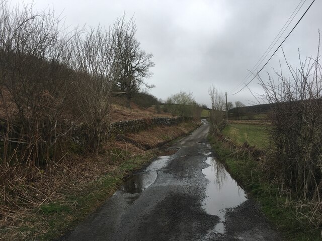
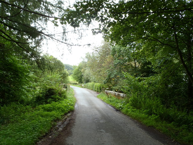
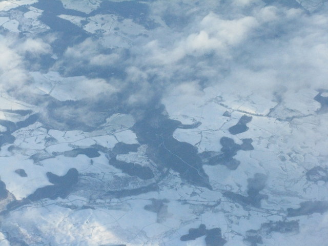
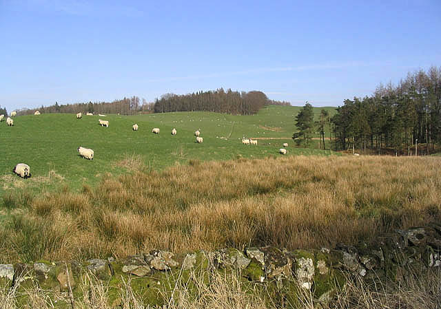
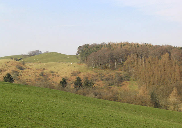
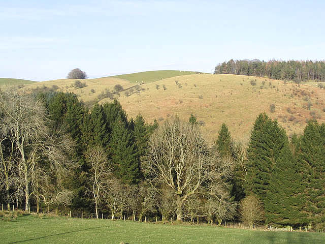
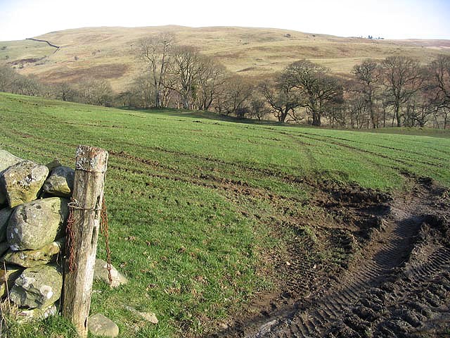
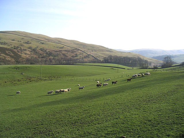
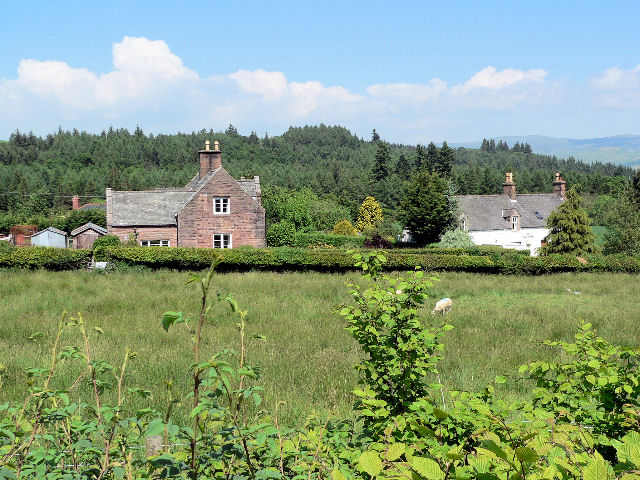
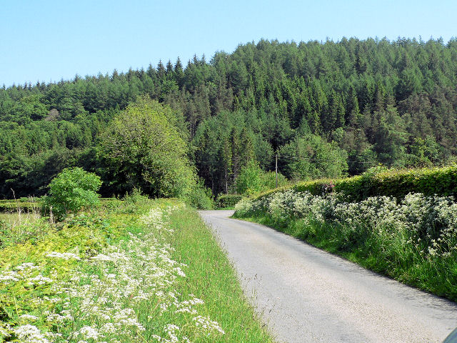
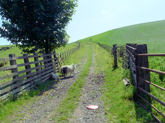
Honeyhole Plantation, located in Dumfriesshire, Scotland, is a picturesque wood and forest area that covers an approximate area of several hundred acres. The plantation is renowned for its natural beauty and diverse flora and fauna, attracting nature enthusiasts, hikers, and wildlife photographers from near and far.
The plantation boasts an impressive variety of trees, including oak, beech, birch, and pine, which create a rich and vibrant tapestry of colors throughout the seasons. This diverse range of trees provides a perfect habitat for a wide range of wildlife, including red squirrels, roe deer, and various bird species. The tranquil atmosphere and abundance of wildlife make Honeyhole Plantation a paradise for nature lovers and a prime spot for birdwatching.
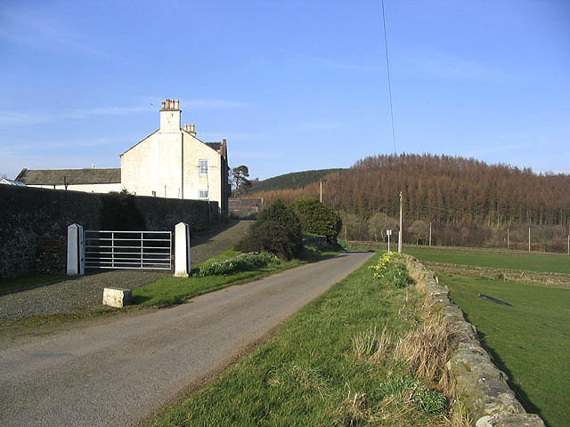
The plantation is also home to several walking trails and paths, allowing visitors to explore the area at their own pace. These trails wind through the woodlands, offering breathtaking views of the surrounding countryside and providing a tranquil escape from the hustle and bustle of daily life.
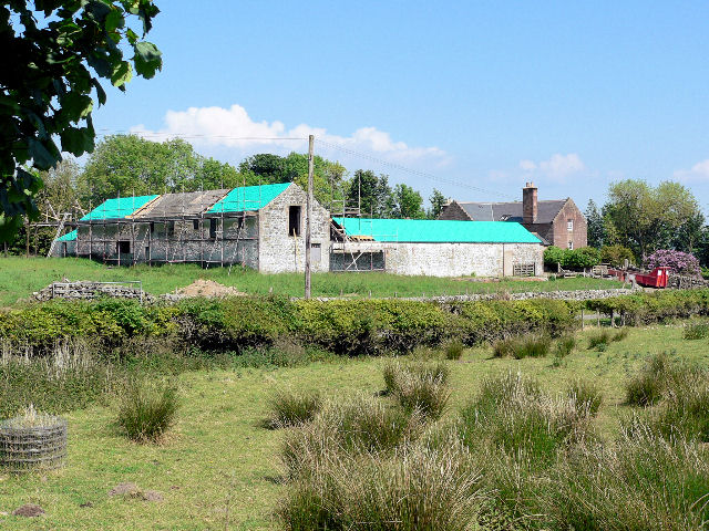
Honeyhole Plantation is not only a place of natural beauty but also plays an important role in conservation efforts. The plantation is managed sustainably, with a focus on preserving and enhancing the natural habitat for future generations to enjoy. The management team regularly conducts tree planting initiatives and wildlife surveys to ensure the continued health and biodiversity of the area.
Whether one seeks a peaceful stroll through the woods, a chance to spot rare wildlife, or simply a moment of serenity in nature, Honeyhole Plantation in Dumfriesshire is an idyllic destination that offers a truly immersive and unforgettable experience.
If you have any feedback on the listing, please let us know in the comments section below.
Honeyhole Plantation Images
Images are sourced within 2km of 55.258656/-3.8485609 or Grid Reference NX8297. Thanks to Geograph Open Source API. All images are credited.


Honeyhole Plantation is located at Grid Ref: NX8297 (Lat: 55.258656, Lng: -3.8485609)
Unitary Authority: Dumfries and Galloway
Police Authority: Dumfries and Galloway
What 3 Words
///bypasses.shipyards.distorts. Near Thornhill, Dumfries & Galloway
Nearby Locations
Related Wikis

Grennan Hill
Grennan Hill is the site of an Iron Age hill fort outside Penpont in Dumfries and Galloway, Scotland. == References == Schedule "Grennan Hill, NMRS Number...

Drumlanrig Castle
Drumlanrig Castle is situated on the Queensberry Estate in Dumfries and Galloway, Scotland. The category A listed castle is the Dumfriesshire home of the...

Drumlanrig
Drumlanrig (Scottish Gaelic: Druim Lannraig) is a settlement in Dumfries and Galloway, Scotland, which is best known for nearby Drumlanrig Castle. The...

Tibbers Castle
Tibbers Castle is a motte-and-bailey castle overlooking a ford across the River Nith in Dumfries and Galloway, Scotland. To the east is the village of...

Penpont
Penpont is a village about 2 miles (3 km) west of Thornhill in Dumfriesshire, in the Dumfries and Galloway region of Scotland. It is near the confluence...
Tynron Doon
Tynron Doon is a multivallate Iron Age hill fort outside the village of Tynron in Dumfries and Galloway, Scotland. It was occupied on and off from the...

Carron Water, Dumfriesshire
The Carron Water (Scottish Gaelic: Carrann) is a tributary of the River Nith in southwest Scotland. It rises in the Dalveen Pass in the Lowther Hills as...
Scaur Water
Scaur Water is a river which rises near Polskeoch in the Scaur hills in the region of Dumfries and Galloway, Scotland. It flows from its source near Sanquhar...
Nearby Amenities
Located within 500m of 55.258656,-3.8485609Have you been to Honeyhole Plantation?
Leave your review of Honeyhole Plantation below (or comments, questions and feedback).