Auchenback

Settlement in Renfrewshire

Scotland

Auchenback

Masonic Lodge, Barrhead Sits on Cochrane Street. Upper floor looks to be residential.
Masonic Lodge, Barrhead Credit: wfmillar

Auchenback is a small residential area located in Renfrewshire, Scotland. It is situated approximately 10 miles southwest of Glasgow and is part of the larger town of Barrhead. With a population of around 6,000 residents, Auchenback is a close-knit community known for its friendly atmosphere.

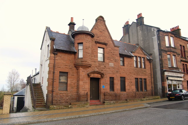
The area is predominantly made up of residential housing, with a mix of both council and private properties. The architecture in Auchenback is varied, ranging from traditional Scottish homes to more modern developments. There are also a number of green spaces and parks scattered throughout the area, providing residents with ample opportunities for outdoor activities and leisure.

Auchenback is well-served by public transportation, with regular bus services connecting the area to nearby towns and cities. The nearby Barrhead train station also provides easy access to Glasgow and other surrounding areas.

In terms of amenities, Auchenback has a small selection of shops, including convenience stores and local businesses. The nearby town of Barrhead offers a wider range of shopping and dining options. There are also several schools in the area, providing education for children of all ages.

Overall, Auchenback offers a peaceful and family-friendly environment for its residents. With its convenient location and strong sense of community, it continues to be a desirable place to live in Renfrewshire.

If you have any feedback on the listing, please let us know in the comments section below.
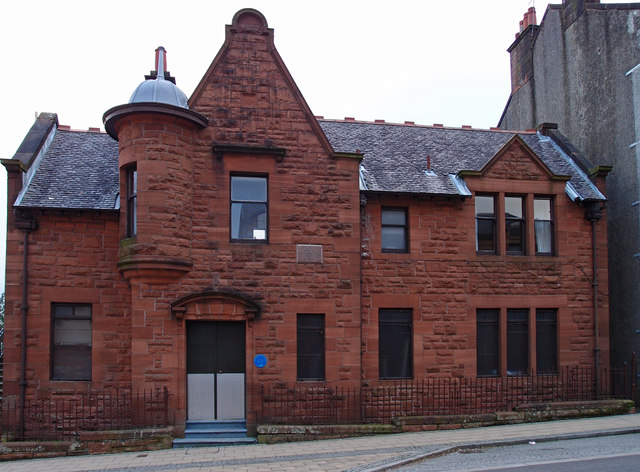
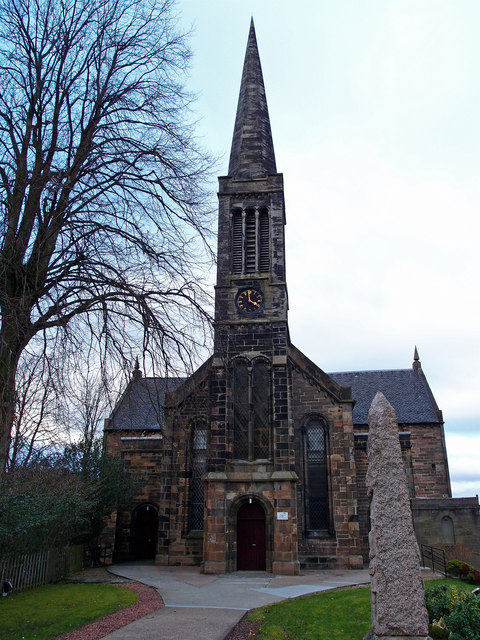
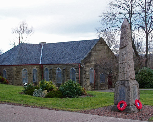
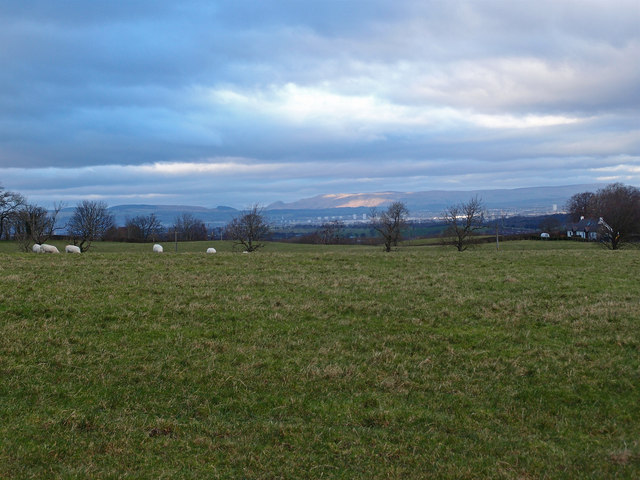
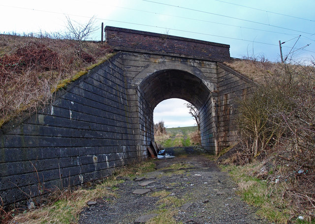
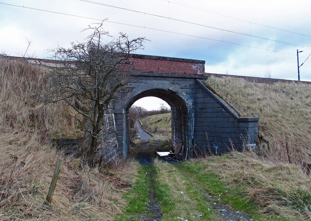
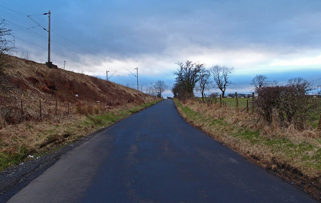
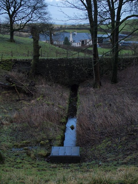
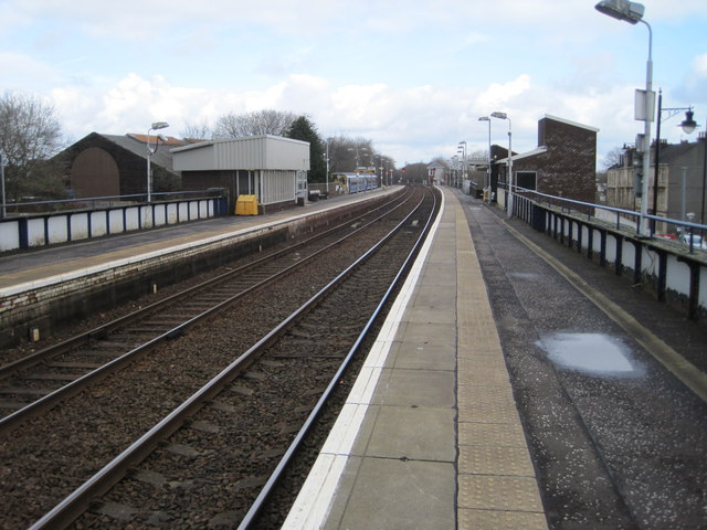
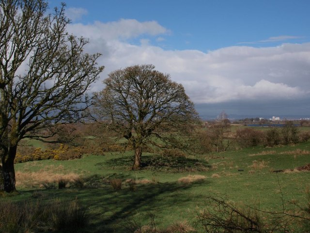
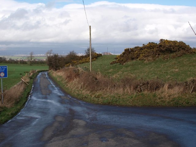
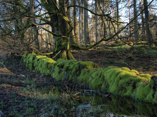
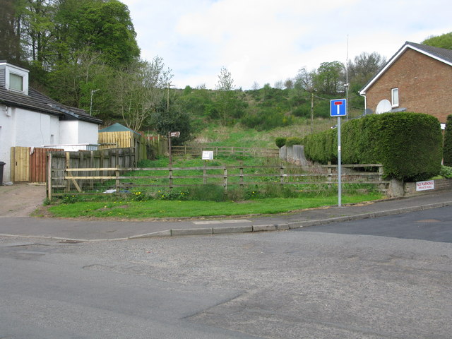
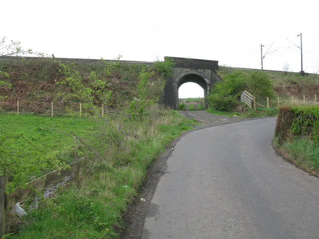
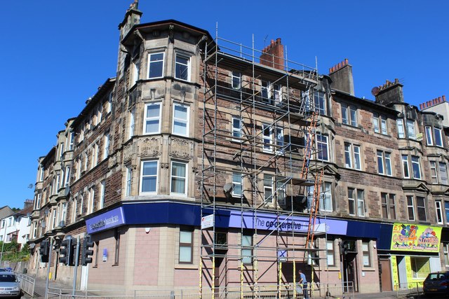
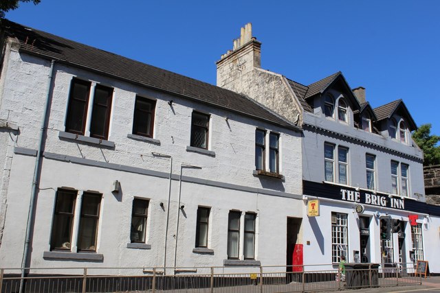
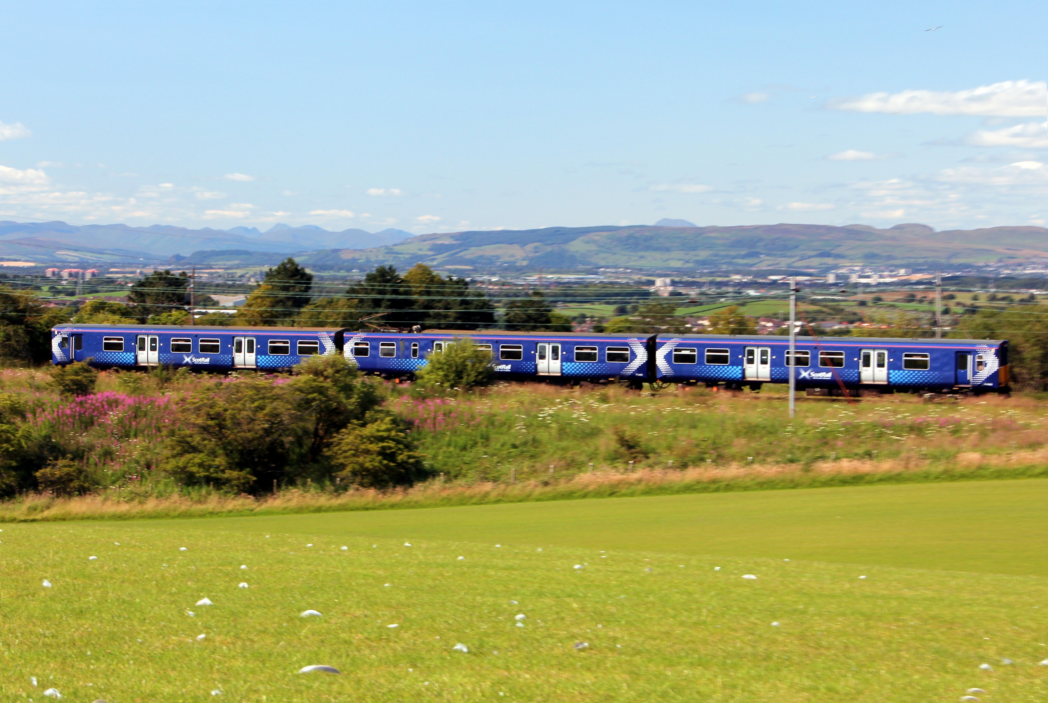
Auchenback Images

Images are sourced within 2km of 55.791918/-4.376766 or Grid Reference NS5157. Thanks to Geograph Open Source API. All images are credited.

Masonic Lodge, Barrhead Sits on Cochrane Street. Upper floor looks to be residential.
Masonic Lodge, Barrhead
Sits on Cochrane Street. Upper floor looks to be residential.
Bourock Parish Church, Barrhead War Memorial stands in front of church.
Bourock Parish Church, Barrhead
War Memorial stands in front of church.
Bourock Parish Church Hall, Barrhead War Memorial stands in front of church.
Bourock Parish Church Hall, Barrhead
War Memorial stands in front of church.
Sheep Grazing near Neilston Sun on the distant Campsie Fells over Glasgow. Newhouse Cottages on the right.
Sheep Grazing near Neilston
Sun on the distant Campsie Fells over Glasgow. Newhouse Cottages on the right.
Bourock Parish Church, Barrhead Church of Scotland <span class="nowrap"><a title="http://www.portaltothepast.co.uk/heritage/heritage_building/heritage_churches/heritage-churches-barrhead.htm" rel="nofollow ugc noopener" href="http://www.portaltothepast.co.uk/heritage/heritage_building/heritage_churches/heritage-churches-barrhead.htm">Link</a><img style="margin-left:2px;" alt="External link" title="External link - shift click to open in new window" src="https://s1.geograph.org.uk/img/external.png" width="10" height="10"/></span>
Bourock Parish Church, Barrhead
Church of Scotland LinkExternal link
Railway Bridge, Neilston Allowing field access under the Neilston/Rutherglen branch line.
Railway Bridge, Neilston
Allowing field access under the Neilston/Rutherglen branch line.
Railway Bridge, Neilston Allowing field access under the Neilston/Rutherglen branch line. Looking through to Springfield Road from farmland.
Railway Bridge, Neilston
Allowing field access under the Neilston/Rutherglen branch line. Looking through to Springfield Road from farmland.
Springfield Road, Minor Road Neilston Railway branch line to the left.
Springfield Road, Minor Road
Neilston Railway branch line to the left.
Masonic Lodge, Barrhead. Lodge Union & Crown No.307 & Lodge Randolph No.1434, Barrhead.
Masonic Lodge, Barrhead.
Lodge Union & Crown No.307 & Lodge Randolph No.1434, Barrhead.
Outflow from Glanderston Dam This outflow channel is viewed from the embankment beside the reservoir.
Outflow from Glanderston Dam
This outflow channel is viewed from the embankment beside the reservoir.
Barrhead railway station, Renfrewshire Opened in 1848 by the Glasgow Barrhead & Neilston Direct Railway, on the line which runs from Glasgow to Kilmarnock.
View north east towards Nitshill and Glasgow. For a similar view 44 years previously, see <a href="https://www.geograph.org.uk/photo/1764550">NS4959 : Barrhead Station</a>.
Barrhead railway station, Renfrewshire
Opened in 1848 by the Glasgow Barrhead & Neilston Direct Railway, on the line which runs from Glasgow to Kilmarnock. View north east towards Nitshill and Glasgow. For a similar view 44 years previously, see NS4959 : Barrhead Station.
Field near Glanderston The field, and the trees in it, are on the south side of the single-track road that runs along the wee wood beside Glanderston Dam. Balgray Reservoir is glimpsed across the fields to the right.
Field near Glanderston
The field, and the trees in it, are on the south side of the single-track road that runs along the wee wood beside Glanderston Dam. Balgray Reservoir is glimpsed across the fields to the right.
Junction of Springhill Road and Glanderston Road The picture looks along Springhill Road as it heads downhill towards Barrhead. Glanderston Road is on the right.
Junction of Springhill Road and Glanderston Road
The picture looks along Springhill Road as it heads downhill towards Barrhead. Glanderston Road is on the right.
Moss-covered dyke beside Glanderston Road On the south side of Glanderston Road in the lee of a little rise, and bordering the wee wood, this dyke must see little sunshine. Presumably this is why it is so heavily covered in moss.
Moss-covered dyke beside Glanderston Road
On the south side of Glanderston Road in the lee of a little rise, and bordering the wee wood, this dyke must see little sunshine. Presumably this is why it is so heavily covered in moss.
Start of the route to the Fereneze Braes in Barrhead This rather inauspicious spot between 2 houses is the start of an excellent walk over the Fereneze Braes. It is worth noting that though there are clearly defined paths on the Fereneze Braes, they rarely correspond to paths marked on the OS map. However the routes are so well signposted that a map is really not required. At the start you have to squeeze through a small gap in parallel fences. There are a few more like this on the walk. This is clearly designed to make it very difficult to take even a bike - a good idea.
Start of the route to the Fereneze Braes in Barrhead
This rather inauspicious spot between 2 houses is the start of an excellent walk over the Fereneze Braes. It is worth noting that though there are clearly defined paths on the Fereneze Braes, they rarely correspond to paths marked on the OS map. However the routes are so well signposted that a map is really not required. At the start you have to squeeze through a small gap in parallel fences. There are a few more like this on the walk. This is clearly designed to make it very difficult to take even a bike - a good idea.
Railway Bridge between Barrhead and Neilston The road is Springfield Road, an unclassified road between Barrhead and Neilston.
The railway bridge carries the line between Neilston and Patterton railway stations.
Railway Bridge between Barrhead and Neilston
The road is Springfield Road, an unclassified road between Barrhead and Neilston. The railway bridge carries the line between Neilston and Patterton railway stations.
Corner of Graham Street & Paisley Road, Barrhead
The Brig Inn, Cross Arthurlie Street, Barrhead
Show me another place!

Auchenback is located at Grid Ref: NS5157 (Lat: 55.791918, Lng: -4.376766)

Unitary Authority: East Renfrewshire

Police Authority: Greater Glasgow

What 3 Words

///traps.manual.candle. Near Barrhead, East Renfrewshire

Related Wikis

Related Videos

Walking in Nature, hearing the Wildlife...

Walking in the Barrhead Dams, Scotland. Listening to the birds and looking at the breeze gently moving the shrubs and plants.

Walking to Dams to Darnley Country Park, Scotland (HEVC, H.265)

Spacer przez Dams to Darnley Country Park, Szkocja.

Trying popeyes Glasgow for the first time | Walt Disney world vacation chat | popeyes mukbang

Come with us and try the first popeyes in Scotland! Random Disney world chat and plans too :)

Nearby Amenities

Located within 500m of 55.791918,-4.376766
Traffic Signals
Start Date: 2024-12-23
Traffic Signals: signal
Traffic Signals Direction: forward
Lat/Long: 55.7893734/-4.3735192
O.Hussain
Shop: convenience
Lat/Long: 55.7920714/-4.3842028
Power: tower
Lat/Long: 55.7878241/-4.3792878
Power: tower
Lat/Long: 55.7893272/-4.3768741
Power: tower
Lat/Long: 55.7908954/-4.374162
Power: tower
Lat/Long: 55.7930039/-4.3706602
Auchenback
Place: suburb
Lat/Long: 55.7948059/-4.3815057
Generator Method: photovoltaic
Generator Output Electricity: yes
Generator Source: solar
Generator Type: solar_photovoltaic_panel
Location: roof
Power: generator
Lat/Long: 55.7937665/-4.3811685
Generator Method: photovoltaic
Generator Output Electricity: yes
Generator Source: solar
Generator Type: solar_photovoltaic_panel
Location: roof
Power: generator
Lat/Long: 55.7934483/-4.382531
Bench
Lat/Long: 55.7898233/-4.3774534
Waste Basket
Lat/Long: 55.7903242/-4.3784055
Lyoncross
Abandoned Railway: station
Railway: site
Wikidata: Q6709685
Wikipedia: en:Lyoncross railway station
Lat/Long: 55.7895564/-4.371099
Lyoncross Junction
Railway: junction
Lat/Long: 55.7894436/-4.3739503
Traffic Signals
Start Date: 2024-12-23
Traffic Signals: signal
Traffic Signals Direction: backward
Lat/Long: 55.7895691/-4.373507
The data included in this document is from www.openstreetmap.org. The data is made available under ODbL.

Have you been to Auchenback?

Leave your review of Auchenback below (or comments, questions and feedback).