Auchenblae

Settlement in Kincardineshire

Scotland

Auchenblae

Glen of Dumtochty Woodland in this mostly forested glen.
Glen of Dumtochty Credit: Richard Webb

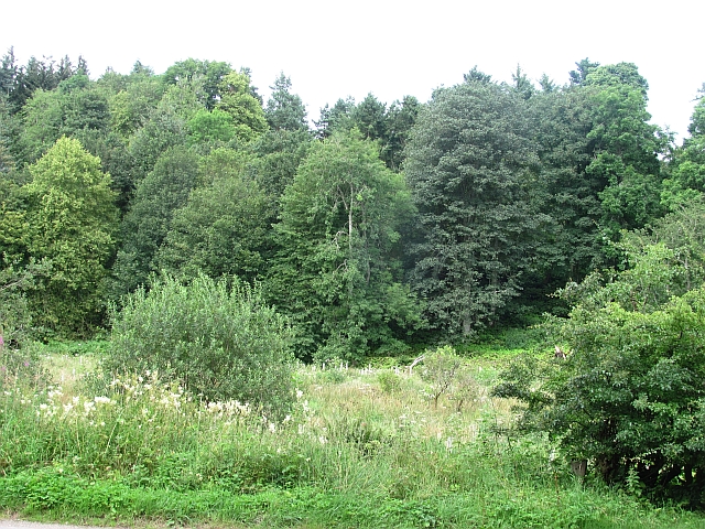
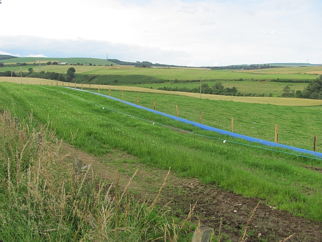
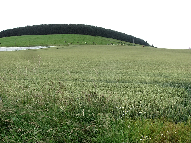
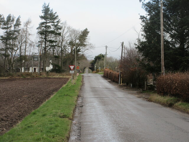
Auchenblae is a small village located in the Kincardineshire region of Scotland. Situated in the northeastern part of the country, it lies approximately 30 miles south of Aberdeen. Nestled amidst picturesque countryside, Auchenblae offers a tranquil and scenic setting for its residents and visitors.

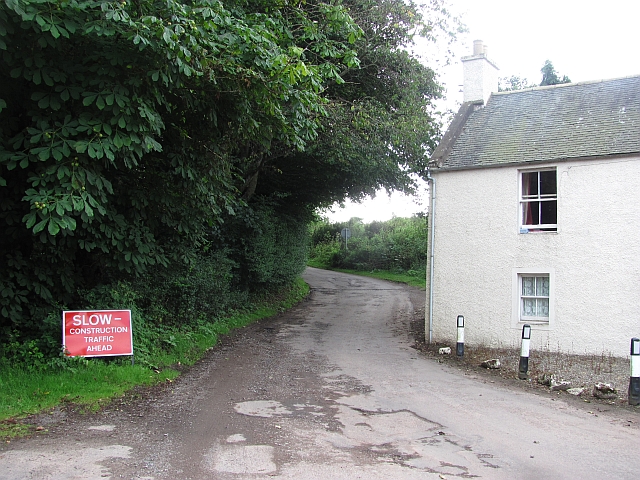
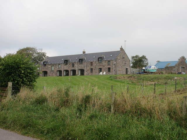
The village is known for its rich historical heritage, dating back to the 12th century. It features several traditional stone buildings, including the Auchenblae Parish Church, which dates back to the 17th century. The village also boasts a well-preserved 18th-century mercat cross, symbolizing its past as a market town.

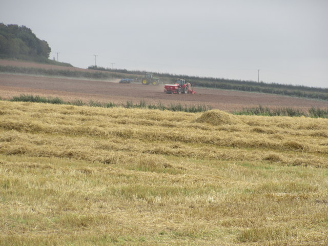
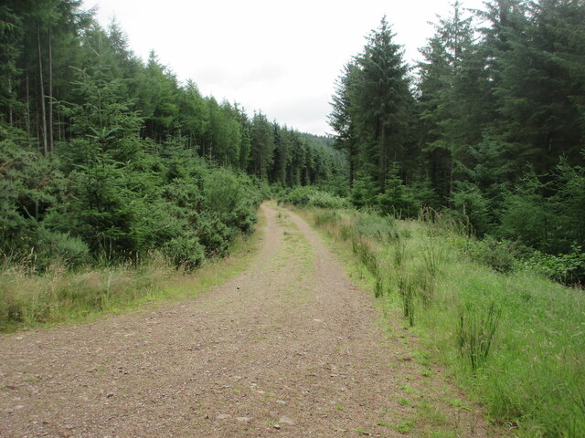
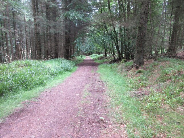
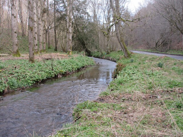
With a population of around 800 people, Auchenblae exudes a close-knit community feel. It offers a range of amenities, including a primary school, a village hall, and a local shop for basic necessities. The surrounding countryside provides ample opportunities for outdoor activities, such as hiking, cycling, and fishing.

Auchenblae's scenic location makes it an ideal base for exploring the nearby attractions. Just a short drive away, visitors can find the stunning Fettercairn Distillery, where they can learn about the art of whisky production and sample some of Scotland's finest single malts. Additionally, the beautiful coastal town of Stonehaven is within easy reach, renowned for its dramatic cliffs, picturesque harbor, and the iconic Dunnottar Castle.

In conclusion, Auchenblae is a charming and peaceful village in Kincardineshire, Scotland. With its rich history, beautiful surroundings, and friendly community, it offers a delightful destination for those seeking a tranquil escape in the Scottish countryside.

If you have any feedback on the listing, please let us know in the comments section below.
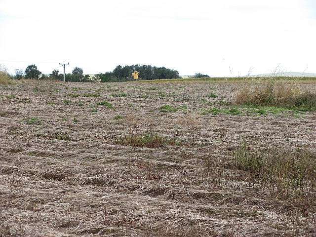
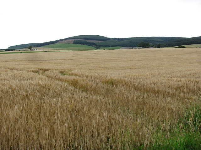
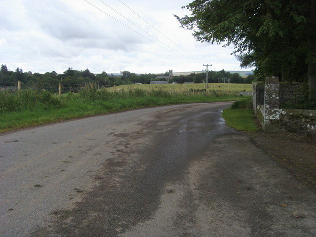
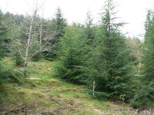
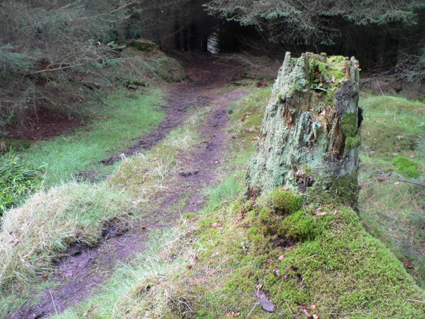
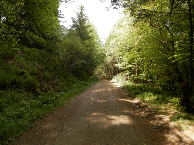
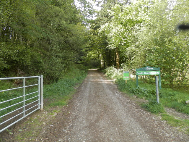
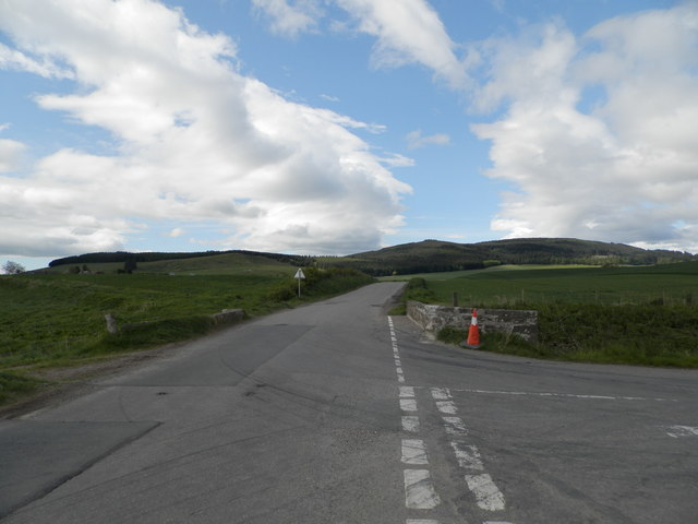
Auchenblae Images

Images are sourced within 2km of 56.89972/-2.450158 or Grid Reference NO7278. Thanks to Geograph Open Source API. All images are credited.

Glen of Dumtochty Woodland in this mostly forested glen.
Glen of Dumtochty
Woodland in this mostly forested glen.
Field by Auchenblae A new pipeline is being laid beside the road here.
Field by Auchenblae
A new pipeline is being laid beside the road here.
Road into Auchenblae Warning of pipeline construction traffic.
Road into Auchenblae
Warning of pipeline construction traffic.
Wheat field by Auchenblae Nearby they are ploughing this year's stubble but this field has yet to turn from green.
Wheat field by Auchenblae
Nearby they are ploughing this year's stubble but this field has yet to turn from green.
Field by Auchenblae Field with a scarecrow.
Field by Auchenblae
Field with a scarecrow.
Barley, Strathfinella Hill Barley fields on the lower slopes of Strathfinella Hills. Much of Kincardineshire is covered in quality arable land.
Barley, Strathfinella Hill
Barley fields on the lower slopes of Strathfinella Hills. Much of Kincardineshire is covered in quality arable land.
Looking to Auchenblae church From the cemetery looking to Auchenblae church
Looking to Auchenblae church
From the cemetery looking to Auchenblae church
Lost in the pines A lonely birch tree in a forest of pines.
Lost in the pines
A lonely birch tree in a forest of pines.
A weathered stump A moss covered tree stump left to rot & provide a home for insects at the side of the track back to the road in Drumtochty Glen.
A weathered stump
A moss covered tree stump left to rot & provide a home for insects at the side of the track back to the road in Drumtochty Glen.
Forest road in Glen of Drumtochty
Entrance to South Drumtochty Forest
Burnmouth Brig over Burnie Shag
Glenfarquhar House Converted steadings at Glenfarquhar, viewed from the road to the south.
Glenfarquhar House
Converted steadings at Glenfarquhar, viewed from the road to the south.
Farmwork on Herscha Hill Working on the fields near Newlands on the lower slopes of Herscha Hill.
Farmwork on Herscha Hill
Working on the fields near Newlands on the lower slopes of Herscha Hill.
Track in Drumelzie Wood Forest track on the eastern edge of Drumelzie Wood.
Track in Drumelzie Wood
Forest track on the eastern edge of Drumelzie Wood.
Track on the edge of Drumelzie Wood Forest track heading east towards Auchenblae, in Drumelzie Wood.
Track on the edge of Drumelzie Wood
Forest track heading east towards Auchenblae, in Drumelzie Wood.
Luther Water The Luther Water on the west side of the road heading north into Auchenblae.
Luther Water
The Luther Water on the west side of the road heading north into Auchenblae.
Heading to Crossroads Minor road heading northwards to the B966 at Crossroads.
Heading to Crossroads
Minor road heading northwards to the B966 at Crossroads.
Show me another place!

Auchenblae is located at Grid Ref: NO7278 (Lat: 56.89972, Lng: -2.450158)

Unitary Authority: Aberdeenshire

Police Authority: North East

What 3 Words

///burglars.history.asleep. Near Laurencekirk, Aberdeenshire

Related Wikis

Auchinblae distillery

Auchenblae distillery was a scotch whisky distillery in Auchenblae, Kincardine, Aberdeenshire, Scotland. == History == The distillery was created in 1895...

Fordoun Stone

The Fordoun Stone is a class II Pictish cross slab in Fordoun parish church, Auchenblae, Aberdeenshire, Scotland. == Description == A slab of Old Red Sandstone...

Auchenblae

Auchenblae (, Scottish Gaelic: Achadh nam Blàth) is a village in the Kincardine and Mearns area of Aberdeenshire, formerly in Kincardineshire, Scotland...

Drumtochty Castle

Drumtochty Castle is a neo-gothic style castellated mansion erected in 1812 approximately three kilometres north-west of Auchenblae, Kincardineshire, Scotland...

Nearby Amenities

Located within 500m of 56.89972,-2.450158
Auchenblae
Name Gd: Achadh nam Blàth
Place: village
Population: 520
Wikidata: Q758601
Wikipedia: en:Auchenblae
Lat/Long: 56.8985423/-2.4500865
Crossing
Crossing: unmarked
Crossing Island: no
Tactile Paving: yes
Lat/Long: 56.9012116/-2.448232
Traffic Calming: hump
Lat/Long: 56.9012686/-2.4476675
Traffic Calming: hump
Lat/Long: 56.9011936/-2.4470792
Historic: memorial
Lat/Long: 56.8997205/-2.4503608
Bench
Lat/Long: 56.8996853/-2.4503793
Telephone
Defibrillator
Access: yes
Booth: K6
Covered: booth
Defibrillator Location: inside red phone box, High Street, Auchenblae
Emergency: defibrillator
Listed Status: Category B
Man Made: telephone_box
Lat/Long: 56.8996471/-2.4503478
Post Box
Addr Country: GB
Addr Postcode: AB30 1XR
Addr Street: High Street
Addr Village: Auchenblae
Operator: Royal Mail
Post Box Design: type_n
Post Box Type: lamp
Ref: AB30 43
Lat/Long: 56.8996672/-2.4503642
Ford: stepping_stones
Lat/Long: 56.9012979/-2.4540383
Noexit: yes
Lat/Long: 56.9014422/-2.4539966
Generator Method: photovoltaic
Generator Output Electricity: small_installation
Generator Source: solar
Generator Type: solar_photovoltaic_panel
Location: roof
Power: generator
Lat/Long: 56.9019307/-2.4508967
Generator Method: photovoltaic
Generator Output Electricity: small_installation
Generator Source: solar
Generator Type: solar_photovoltaic_panel
Location: roof
Power: generator
Lat/Long: 56.9030827/-2.450446
Generator Method: photovoltaic
Generator Output Electricity: small_installation
Generator Source: solar
Generator Type: solar_photovoltaic_panel
Location: roof
Power: generator
Lat/Long: 56.9007223/-2.4513325
Generator Method: photovoltaic
Generator Output Electricity: small_installation
Generator Source: solar
Generator Type: solar_photovoltaic_panel
Location: roof
Power: generator
Lat/Long: 56.9028608/-2.4490768
Generator Method: photovoltaic
Generator Output Electricity: small_installation
Generator Source: solar
Generator Type: solar_photovoltaic_panel
Location: roof
Power: generator
Lat/Long: 56.9010482/-2.4462296
Generator Method: photovoltaic
Generator Output Electricity: small_installation
Generator Source: solar
Generator Type: solar_photovoltaic_panel
Location: roof
Power: generator
Lat/Long: 56.9005839/-2.4495998
Crossing
Crossing: unmarked
Crossing Island: no
Tactile Paving: yes
Lat/Long: 56.9004425/-2.4479207
Give Way
Direction: forward
Lat/Long: 56.8984782/-2.4442661
Give Way
Direction: forward
Lat/Long: 56.8985259/-2.4444433
Give Way
Direction: backward
Lat/Long: 56.8965981/-2.4522726
Generator Method: photovoltaic
Generator Output Electricity: small_installation
Generator Source: solar
Generator Type: solar_photovoltaic_panel
Location: roof
Power: generator
Lat/Long: 56.8967454/-2.4490674
Post Box
Addr Country: GB
Addr Postcode: AB30 1XQ
Addr Street: Monboddo Street
Addr Village: Auchenblae
Operator: Royal Mail
Post Box Type: lamp
Ref: AB30 39
Lat/Long: 56.8979381/-2.4501074
Power: pole
Lat/Long: 56.8957289/-2.4532694
Power: pole
Lat/Long: 56.8964872/-2.4536165
Power: pole
Lat/Long: 56.896612/-2.4537285
Power: pole
Lat/Long: 56.8971947/-2.4535511
Power: pole
Lat/Long: 56.8978742/-2.4541633
Power: pole
Lat/Long: 56.8985846/-2.4548242
Power: pole
Lat/Long: 56.8993247/-2.4554675
Power: pole
Lat/Long: 56.8997245/-2.455738
Power: pole
Lat/Long: 56.9004185/-2.456226
Power: pole
Lat/Long: 56.9011888/-2.4567517
Power: pole
Lat/Long: 56.9015365/-2.4574149
Power: pole
Lat/Long: 56.8992605/-2.4544117
Power: pole
Lat/Long: 56.8991891/-2.4533848
Power: pole
Lat/Long: 56.8992278/-2.4521715
Power: pole
Lat/Long: 56.9000212/-2.4532938
Power: pole
Lat/Long: 56.9001218/-2.4531652
Power: pole
Lat/Long: 56.9007395/-2.4523955
Power: pole
Lat/Long: 56.9028516/-2.4481088
Power: pole
Lat/Long: 56.9027688/-2.4465756
Power: pole
Lat/Long: 56.9026814/-2.4450339
Bus Stop
Market Square
Bus: yes
Naptan AtcoCode: 630041502
Naptan Bearing: SE
Naptan CommonName: Market Square
Naptan Indicator: SE-bound
Naptan NaptanCode: 23629454
Naptan Street: Main Street
Naptan Verified: no
Public Transport: platform
Source: naptan;bing;naptan_compare_tool
Lat/Long: 56.8996225/-2.4499517
Bus Stop
Market Square
Bus: yes
Naptan AtcoCode: 630041501
Naptan Bearing: NW
Naptan CommonName: Market Square
Naptan Indicator: NW-bound
Naptan NaptanCode: 23624767
Naptan Street: Main Street
Naptan Verified: no
Public Transport: platform
Source: naptan;bing;naptan_compare_tool
Lat/Long: 56.8995766/-2.4502466
Defibrillator
Access: yes
Defibrillator Location: outside Auchenblae Village Hall
Emergency: defibrillator
Indoor: no
Lat/Long: 56.8981647/-2.4496707
Entrance: yes
Lat/Long: 56.8980879/-2.4498081
Barometer
Lat/Long: 56.8979613/-2.4500346
The data included in this document is from www.openstreetmap.org. The data is made available under ODbL.

Have you been to Auchenblae?

Leave your review of Auchenblae below (or comments, questions and feedback).