Auchenbowie
Settlement in Stirlingshire
Scotland
Auchenbowie
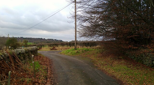
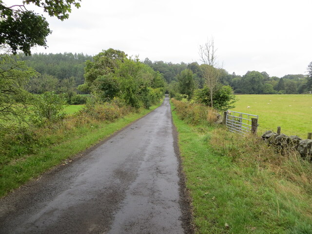
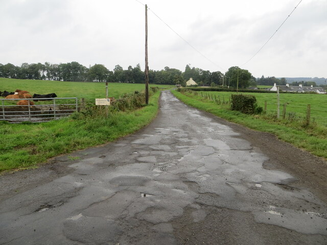
Auchenbowie is a small village located in the county of Stirlingshire, Scotland. It is situated approximately 4 miles southeast of the town of Stirling, nestled in the picturesque Scottish countryside. The village is bordered by the River Forth to the north, providing stunning views and a tranquil atmosphere.
Auchenbowie is known for its rich history, with evidence of human settlement dating back thousands of years. The area has been inhabited since at least the Neolithic period, and archaeological remains, including ancient forts and burial sites, can still be found in the surrounding hills.
The village itself is characterized by its charming architecture, with traditional stone-built cottages and houses lining its streets. It has a close-knit community, and residents often enjoy the peaceful and idyllic lifestyle that the village offers.
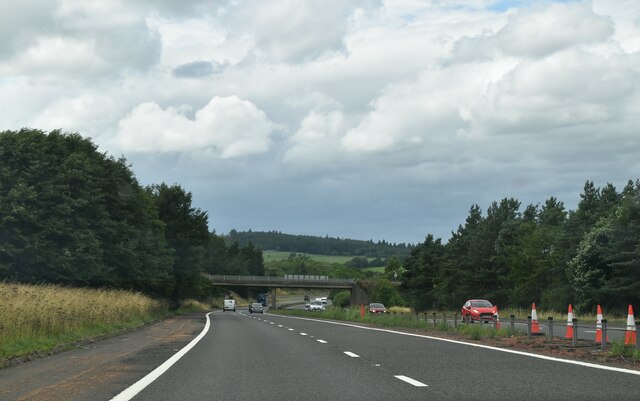
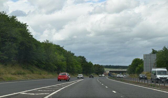
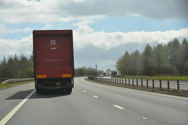
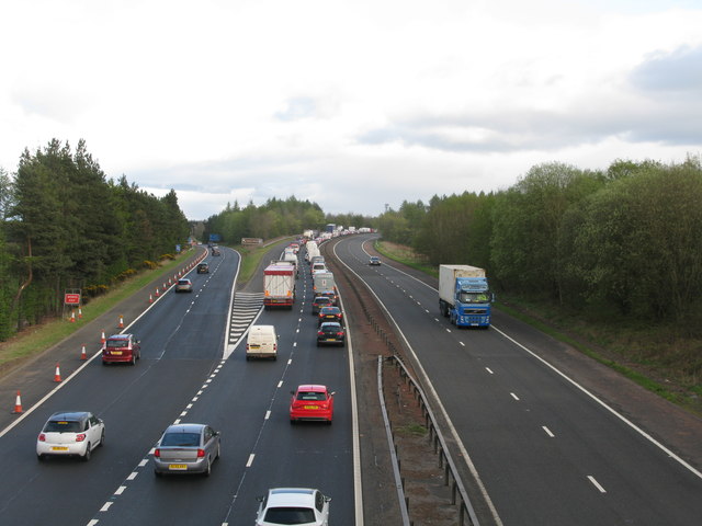
Despite its small size, Auchenbowie benefits from its proximity to the larger town of Stirling. This allows residents easy access to a range of amenities, including shops, schools, and healthcare facilities. The village also benefits from excellent transport links, with the M9 motorway passing nearby, providing convenient connections to other parts of Scotland.
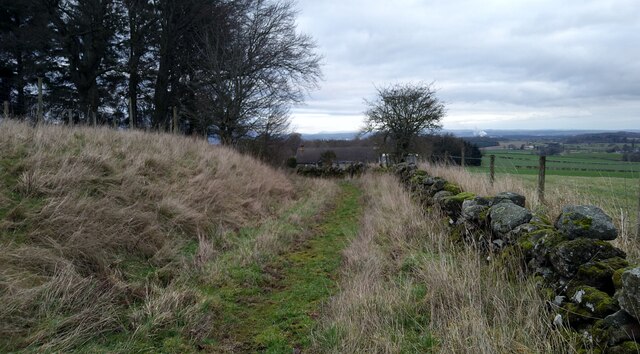
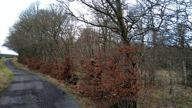
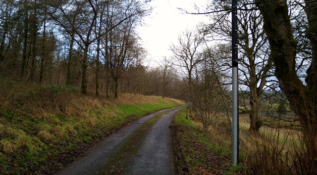
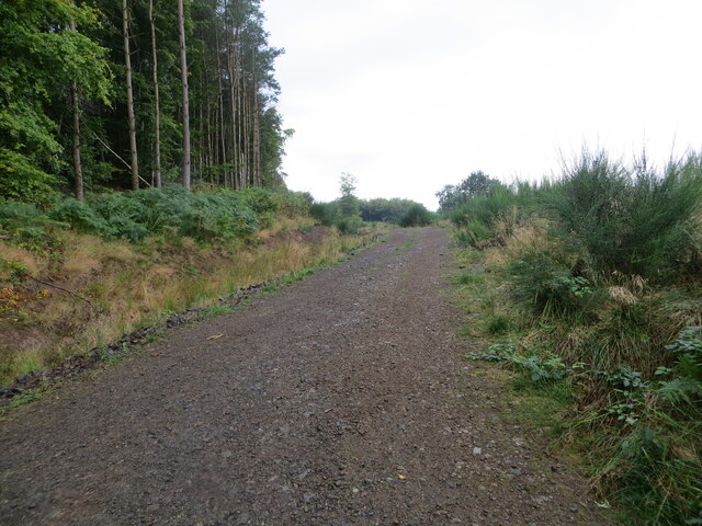
For those who enjoy outdoor activities, Auchenbowie offers plenty of opportunities to explore the surrounding countryside. The nearby Touch Hills and Gargunnock Hills provide breathtaking views and walking trails, allowing residents to immerse themselves in the natural beauty of the Scottish landscape.
In summary, Auchenbowie is a picturesque village with a rich history, offering a peaceful and close-knit community lifestyle, while also benefiting from its proximity to the amenities of Stirling and the beauty of the Scottish countryside.
If you have any feedback on the listing, please let us know in the comments section below.
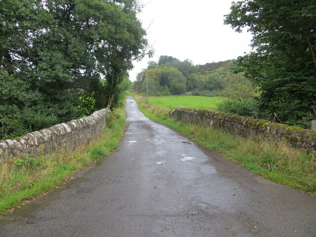
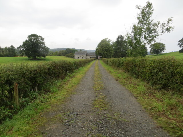
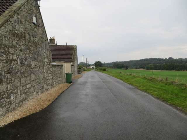
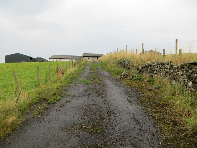
Auchenbowie Images
Images are sourced within 2km of 56.069069/-3.941072 or Grid Reference NS7987. Thanks to Geograph Open Source API. All images are credited.
Auchenbowie is located at Grid Ref: NS7987 (Lat: 56.069069, Lng: -3.941072)
Unitary Authority: Stirling
Police Authority: Forth Valley
What 3 Words
///richly.salads.sheepish. Near Bannockburn, Stirling
Nearby Locations
Related Wikis

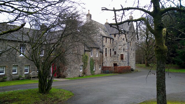
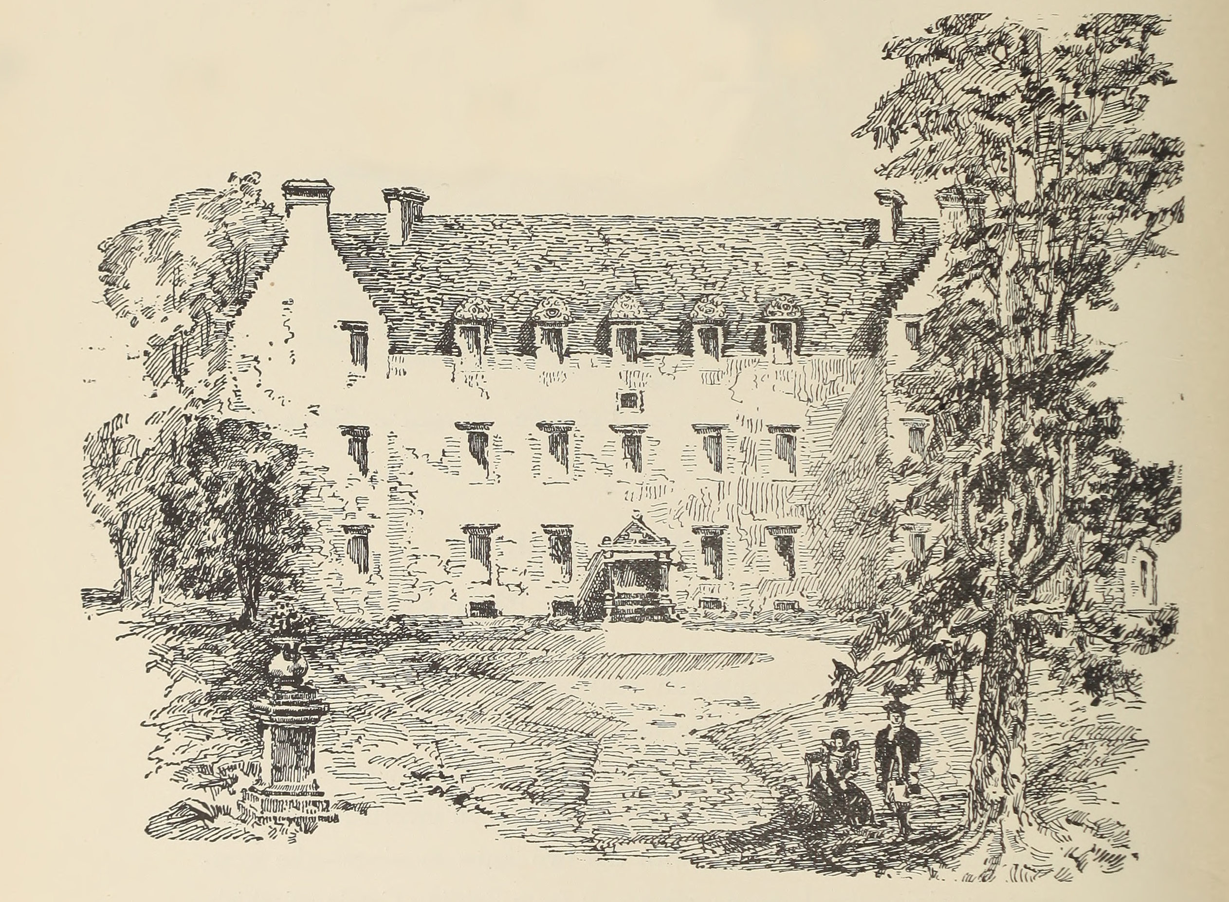
Auchenbowie House
Auchenbowie House is a laird's house (mansion) in Stirling, Scotland. The location is about 3.5 miles (5.6 km) south of Stirling, on minor road west of...

Howietoun Fishery
Howietoun Fishery was created by Sir James Ramsay Gibson Maitland; it is a Victorian fish farm that specialised in the study of trout and salmon farming...
Stirling services
Stirling services is a motorway service station near Stirling, Scotland. The service station is located where the M9 motorway and M80 motorway join. It...
Battle of Sauchieburn
The Battle of Sauchieburn was fought on 11 June 1488, at the side of Sauchie Burn, a stream about two miles (3 km) south of Stirling, Scotland. The battle...
Bannockburn House
Bannockburn House is a property of historical significance in the town of Bannockburn. It is a Category A listed building. == History == Bannockburn House...

Broomridge
Broomridge is a district in the south of the city of Stirling, Scotland, located north of Bannockburn and east of St. Ninians. It is home to Bannockburn...
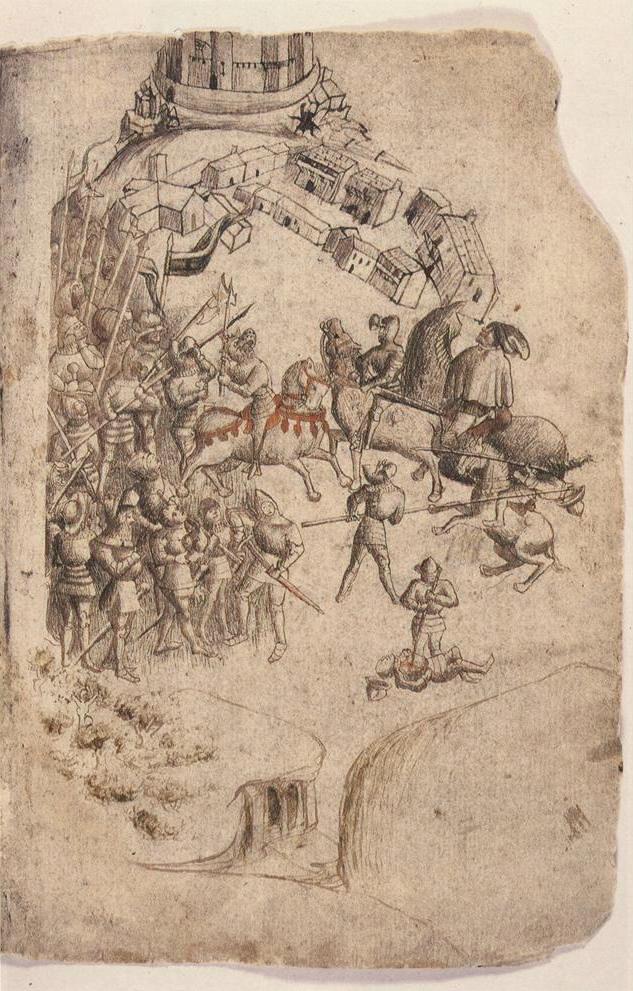
Battle of Bannockburn
The Battle of Bannockburn (Scottish Gaelic: Blàr Allt nam Bànag or Blàr Allt a' Bhonnaich) was fought on 23–24 June 1314, between the army of Robert the...
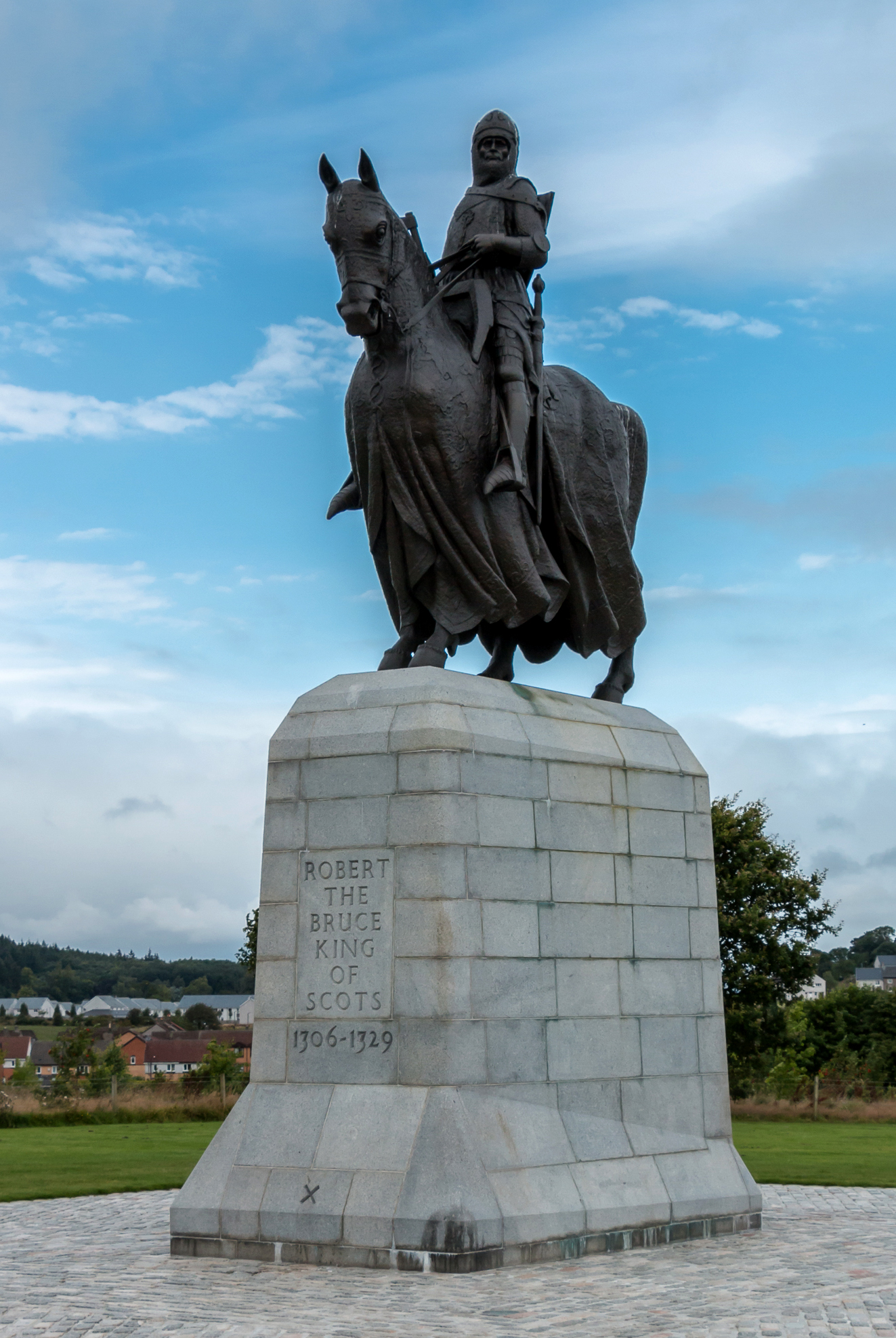
Equestrian statue of Robert the Bruce, Bannockburn
The equestrian statue of Robert the Bruce at the Bannockburn Visitor Centre, Bannockburn, Stirling, is a 1964 work by Pilkington Jackson. == Description... ==
Nearby Amenities
Located within 500m of 56.069069,-3.941072Have you been to Auchenbowie?
Leave your review of Auchenbowie below (or comments, questions and feedback).