Gill Wood

Wood, Forest in Kent Ashford

England

Gill Wood

Derelict-looking chicken sheds, Plurenden Road These are the kinds of sheds that are used to house chickens, where the birds are kept in cages. These are arranged in tiers so that any eggs, the chickens lay, run down into wire containers outside the cages.
Derelict-looking chicken sheds, Plurenden Road Credit: John Baker

Gill Wood, located in Kent, England, is a picturesque forest that spans over a vast area of land. This woodland is known for its dense vegetation, diverse wildlife, and tranquil atmosphere, attracting both nature enthusiasts and casual visitors alike.

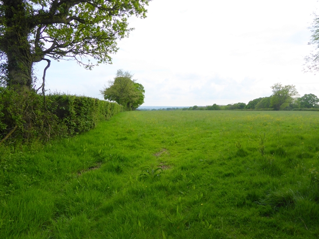
Covering an area of approximately 100 acres, Gill Wood is home to a wide range of tree species, including oak, beech, and birch. The trees form a dense canopy, allowing only slivers of sunlight to filter through, creating a serene and peaceful ambiance. The forest floor is adorned with a rich carpet of mosses, ferns, and wildflowers, adding to its natural beauty.

A network of well-maintained footpaths winds through the wood, allowing visitors to explore its hidden corners. The paths are often accompanied by the gentle sound of a babbling brook, which meanders through the forest, providing a soothing backdrop to the experience.

Gill Wood is not only a haven for plants but also a sanctuary for various animal species. Birdwatchers can spot a wide variety of avian species, including woodpeckers, owls, and thrushes. The forest is also home to mammals such as deer, foxes, and badgers, making it a popular spot for wildlife enthusiasts.

For those seeking a peaceful retreat or a chance to reconnect with nature, Gill Wood in Kent offers a serene and captivating environment. Its lush vegetation, abundance of wildlife, and tranquil atmosphere make it a perfect destination for those looking to escape the hustle and bustle of everyday life and immerse themselves in the beauty of the natural world.

If you have any feedback on the listing, please let us know in the comments section below.
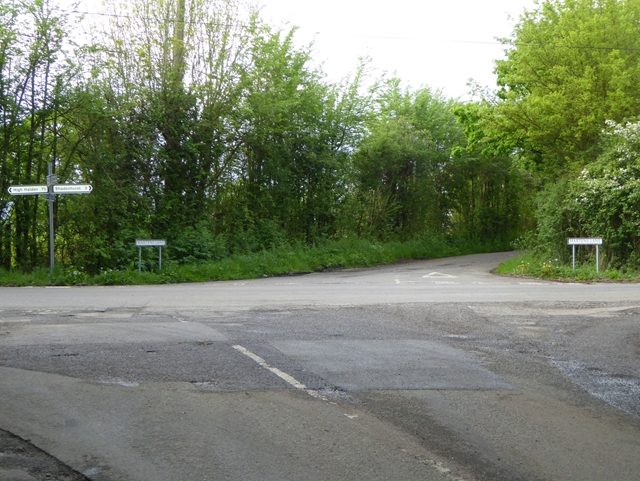
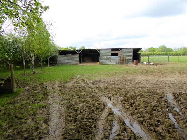
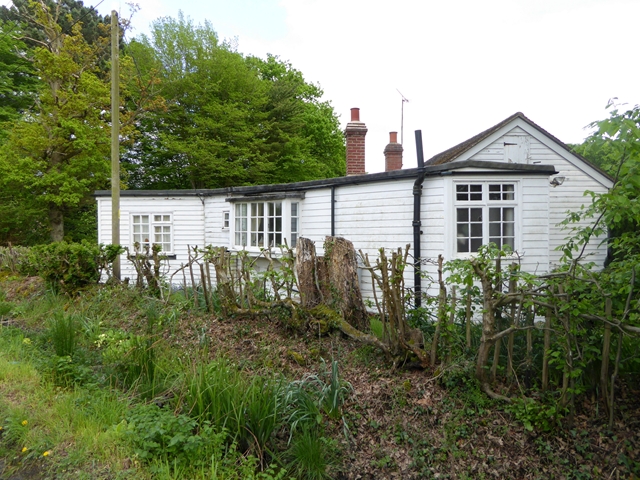
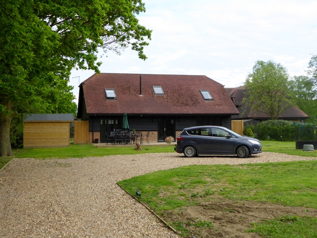
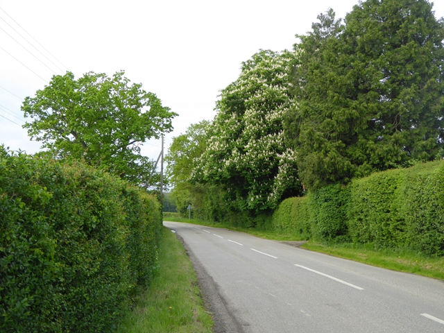
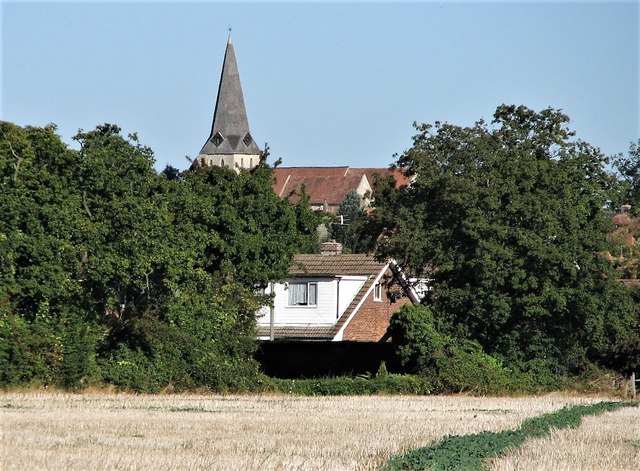
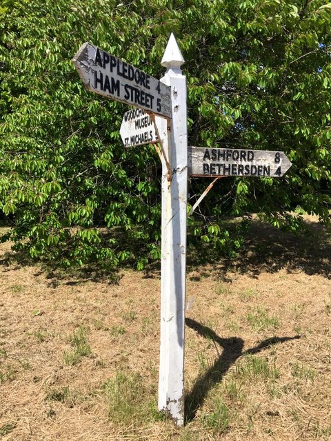
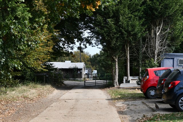
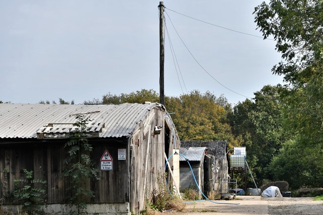
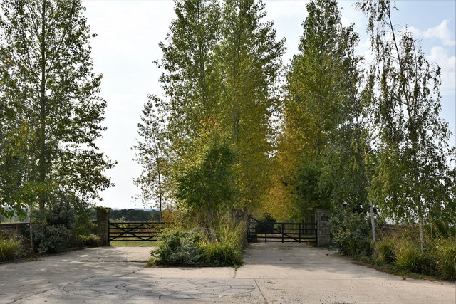
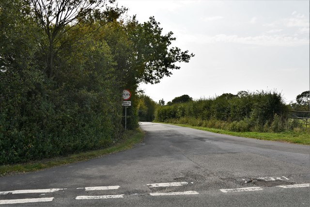
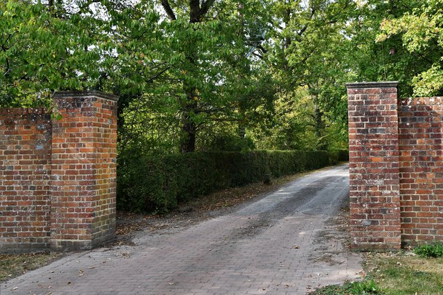
Gill Wood Images

Images are sourced within 2km of 51.087659/0.75072645 or Grid Reference TQ9235. Thanks to Geograph Open Source API. All images are credited.

Derelict-looking chicken sheds, Plurenden Road These are the kinds of sheds that are used to house chickens, where the birds are kept in cages. These are arranged in tiers so that any eggs, the chickens lay, run down into wire containers outside the cages.
Derelict-looking chicken sheds, Plurenden Road
These are the kinds of sheds that are used to house chickens, where the birds are kept in cages. These are arranged in tiers so that any eggs, the chickens lay, run down into wire containers outside the cages.
Cuckolds Corner The intersection of Plurenden Road and Redbrook Street. There must be a story behind the name.
Cuckolds Corner
The intersection of Plurenden Road and Redbrook Street. There must be a story behind the name.
Muddy field and makeshift stable Off Plurenden Road.
Muddy field and makeshift stable
Off Plurenden Road.
Roadside cottage on Plurenden Road
Field at Shirkoak A public footpath runs alongside the hedge.
Field at Shirkoak
A public footpath runs alongside the hedge.
Appleyard Barn Barn conversion let as five-star self-catering accommodation.
Appleyard Barn
Barn conversion let as five-star self-catering accommodation.
Redbrook Street east of Shirk Oak cross roads A fine example of a horse chestnut tree in flower.
Redbrook Street east of Shirk Oak cross roads
A fine example of a horse chestnut tree in flower.
All Saints Church from fields to south-east Note field path in bottom right corner
All Saints Church from fields to south-east
Note field path in bottom right corner
Direction Sign - Signpost by Bethersden Road, Woodchurch parish Spear finial - 3 arms; by the UC road, in parish of Woodchurch (Ashford District), on the northwest side of the junction of Front Road, Bethersden Road and Susan's Hill.

To be surveyed

Milestone Society National ID: KE_TQ9435
Direction Sign - Signpost by Bethersden Road, Woodchurch parish
Spear finial - 3 arms; by the UC road, in parish of Woodchurch (Ashford District), on the northwest side of the junction of Front Road, Bethersden Road and Susan's Hill. To be surveyed Milestone Society National ID: KE_TQ9435
New buildings, Plurenden Road There used to be <a href="https://www.geograph.org.uk/photo/4607775">TQ9137 : Derelict-looking chicken sheds, Plurenden Road</a> on this site.
New buildings, Plurenden Road
Woodchurch: Maidenwood Farm
Shirkoak: Paddock
Shirkoak: Paddock
Shirkoak: 'Juggins Cottage'
Shirkoak: Little Tiffenden Farm
Shirkoak: Redbrook Street road junction
Shirkoak: Entrance to Boldshaves Garden (open to the public)
Shirkoak: 'Boldshaves Cottage'
Show me another place!

Gill Wood is located at Grid Ref: TQ9235 (Lat: 51.087659, Lng: 0.75072645)

Administrative County: Kent

District: Ashford

Police Authority: Kent

What 3 Words

///resides.conveying.album. Near Woodchurch, Kent

Related Wikis

Nearby Amenities

Located within 500m of 51.087659,0.75072645
The data included in this document is from www.openstreetmap.org. The data is made available under ODbL.

Have you been to Gill Wood?

Leave your review of Gill Wood below (or comments, questions and feedback).