Acre Wood

Wood, Forest in Kent Ashford

England

Acre Wood

Building site, Lower Road Seen from The Green, planning permission has been granted by Ashford Borough Council under application number 14/00849/AS for the “erection of a detached dwelling, holiday let dwelling and linked office (B1) and creation of access”. The location was described as land opposite 11, Lower Road.
Building site, Lower Road Credit: John Baker

Acre Wood is a picturesque woodland located in the county of Kent, England. Situated in the southeast region of the country, this enchanting forest covers an expansive area of approximately 100 acres. Acre Wood is known for its natural beauty and diverse flora and fauna.

The woodland is predominantly composed of broadleaf trees, creating a lush and verdant atmosphere. Oak, beech, and chestnut trees are particularly abundant, providing a rich canopy that offers shade and shelter to the various inhabitants of the forest. The forest floor is carpeted with a vibrant array of wildflowers, creating a stunning display of colors during the spring and summer months.

Acre Wood is home to a diverse range of wildlife, making it a haven for nature enthusiasts and wildlife photographers. Visitors may encounter species such as deer, foxes, badgers, and numerous bird species including woodpeckers, owls, and warblers. The tranquil atmosphere of the woodland encourages a wide variety of birdlife to thrive within its borders.

The wood is crisscrossed by a network of well-maintained trails, allowing visitors to explore the forest and take in its natural wonders. These paths provide easy access to the forest's most scenic spots, including secluded groves, babbling brooks, and picturesque viewpoints.

Acre Wood also offers educational and recreational opportunities, with guided nature walks and wildlife spotting sessions organized by local conservation groups. These activities provide visitors with a greater understanding of the forest ecosystem and its importance in preserving biodiversity.

Overall, Acre Wood is a treasure trove of natural beauty, offering a serene escape from the hustle and bustle of modern life. Its diverse flora and fauna, coupled with its accessibility and educational opportunities, make it a popular destination for nature lovers and outdoor enthusiasts alike.

If you have any feedback on the listing, please let us know in the comments section below.
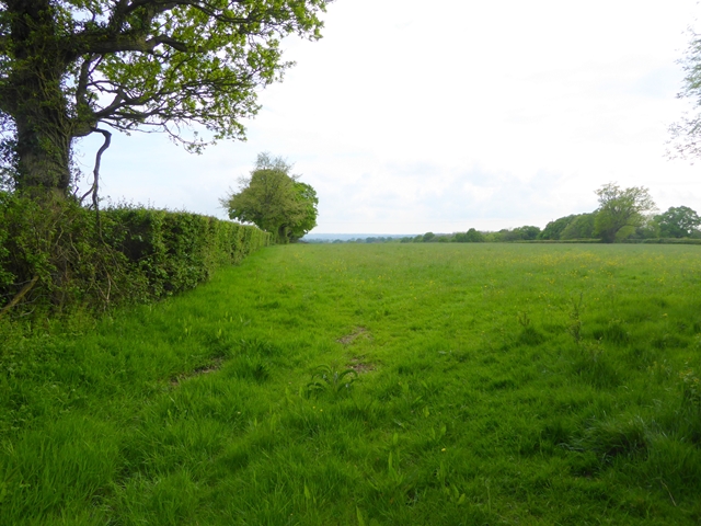
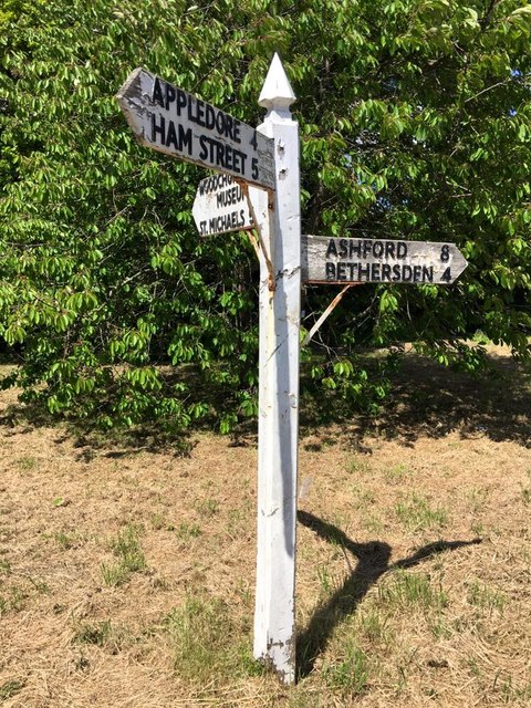
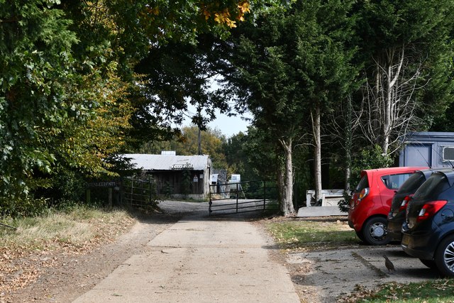
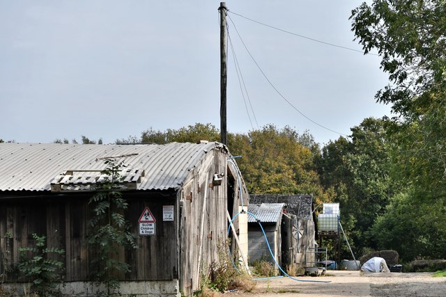
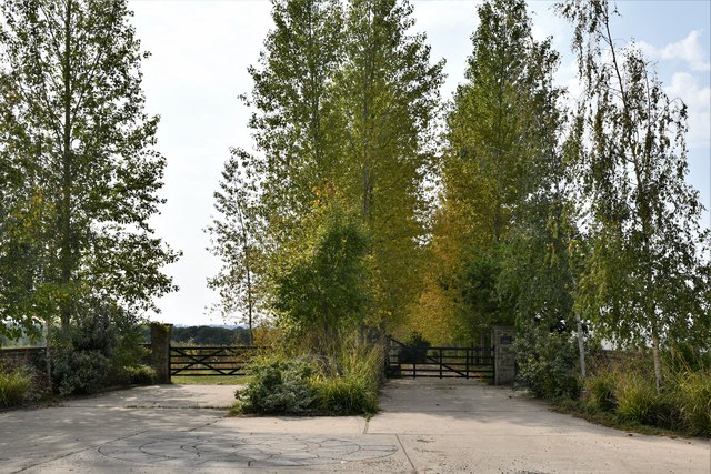
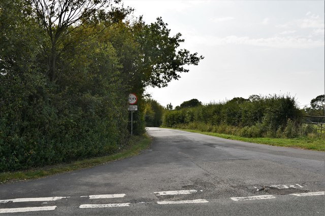
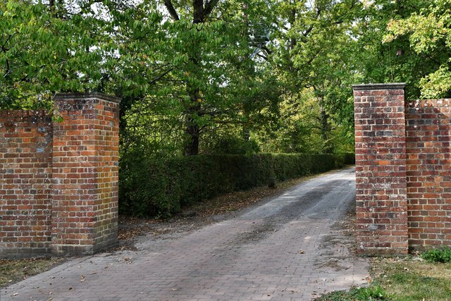
Acre Wood Images

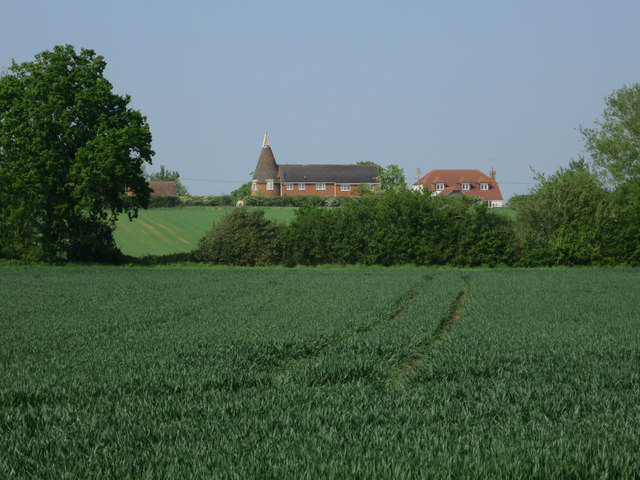
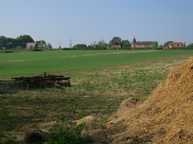
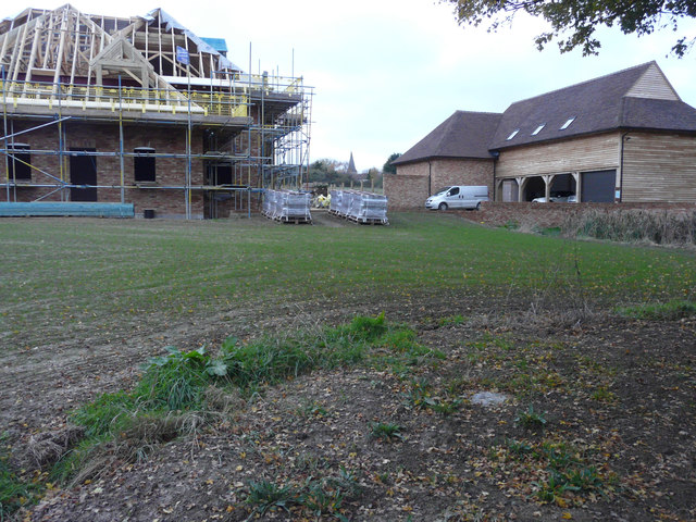
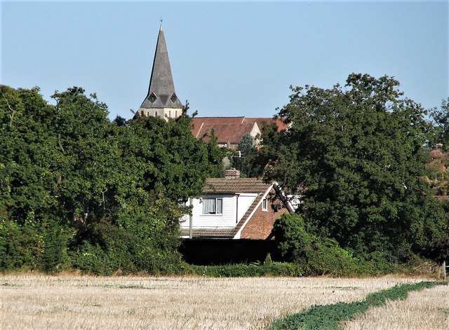
Images are sourced within 2km of 51.084893/0.75016244 or Grid Reference TQ9235. Thanks to Geograph Open Source API. All images are credited.

Building site, Lower Road Seen from The Green, planning permission has been granted by Ashford Borough Council under application number 14/00849/AS for the “erection of a detached dwelling, holiday let dwelling and linked office (B1) and creation of access”. The location was described as land opposite 11, Lower Road.
Building site, Lower Road
Seen from The Green, planning permission has been granted by Ashford Borough Council under application number 14/00849/AS for the “erection of a detached dwelling, holiday let dwelling and linked office (B1) and creation of access”. The location was described as land opposite 11, Lower Road.
Building site, Lower Road Planning permission has been granted by Ashford Borough Council under application number 14/00849/AS for the “erection of a detached dwelling, holiday let dwelling and linked office (B1) and creation of access”. The location was described as land opposite 11, Lower Road.
Building site, Lower Road
Planning permission has been granted by Ashford Borough Council under application number 14/00849/AS for the “erection of a detached dwelling, holiday let dwelling and linked office (B1) and creation of access”. The location was described as land opposite 11, Lower Road.
Derelict building, Front Road I have been informed, by a local resident, that the building was once a chapel.
Derelict building, Front Road
I have been informed, by a local resident, that the building was once a chapel.
Roadside cottage on Plurenden Road
Field at Shirkoak A public footpath runs alongside the hedge.
Field at Shirkoak
A public footpath runs alongside the hedge.
Appleyard Barn Barn conversion let as five-star self-catering accommodation.
Appleyard Barn
Barn conversion let as five-star self-catering accommodation.
Redbrook Street east of Shirk Oak cross roads A fine example of a horse chestnut tree in flower.
Redbrook Street east of Shirk Oak cross roads
A fine example of a horse chestnut tree in flower.
Brook Street
Brook Street
Ditton Farm Oast, Brook Street, Woodchurch Single round kiln oast house.
Ditton Farm Oast, Brook Street, Woodchurch
Single round kiln oast house.
Field by Moor Lane Ditton Farm Oast on Brook Street in the background.
Field by Moor Lane
Ditton Farm Oast on Brook Street in the background.
New buildings, Lower Road Eight month ago, it was a <a href="https://www.geograph.org.uk/photo/4884275">TQ9434 : Building site, Lower Road</a> but now the detached dwelling is under construction while the holiday let dwelling and linked office appears to be finished. Planning permission was granted by Ashford Borough Council’s under application number 14/00849/AS for the “erection of a detached dwelling, holiday let dwelling and linked office (B1) and creation of access.
New buildings, Lower Road
Eight month ago, it was a TQ9434 : Building site, Lower Road but now the detached dwelling is under construction while the holiday let dwelling and linked office appears to be finished. Planning permission was granted by Ashford Borough Council’s under application number 14/00849/AS for the “erection of a detached dwelling, holiday let dwelling and linked office (B1) and creation of access.
All Saints Church from fields to south-east Note field path in bottom right corner
All Saints Church from fields to south-east
Note field path in bottom right corner
Direction Sign - Signpost by Bethersden Road, Woodchurch parish Spear finial - 3 arms; by the UC road, in parish of Woodchurch (Ashford District), on the northwest side of the junction of Front Road, Bethersden Road and Susan's Hill.

To be surveyed

Milestone Society National ID: KE_TQ9435
Direction Sign - Signpost by Bethersden Road, Woodchurch parish
Spear finial - 3 arms; by the UC road, in parish of Woodchurch (Ashford District), on the northwest side of the junction of Front Road, Bethersden Road and Susan's Hill. To be surveyed Milestone Society National ID: KE_TQ9435
Woodchurch: Maidenwood Farm
Shirkoak: Little Tiffenden Farm
Shirkoak: Redbrook Street road junction
Shirkoak: Entrance to Boldshaves Garden (open to the public)
Show me another place!

Acre Wood is located at Grid Ref: TQ9235 (Lat: 51.084893, Lng: 0.75016244)

Administrative County: Kent

District: Ashford

Police Authority: Kent

What 3 Words

///ambushes.cutlets.early. Near Woodchurch, Kent

Related Wikis

Nearby Amenities

Located within 500m of 51.084893,0.75016244
The data included in this document is from www.openstreetmap.org. The data is made available under ODbL.

Have you been to Acre Wood?

Leave your review of Acre Wood below (or comments, questions and feedback).