Godfrey Wood

Wood, Forest in Kent Ashford

England

Godfrey Wood

Cuckolds Corner The intersection of Plurenden Road and Redbrook Street. There must be a story behind the name.
Cuckolds Corner Credit: Oliver Dixon

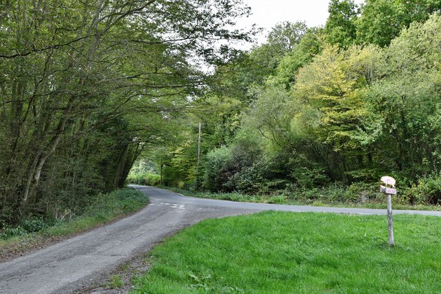
Godfrey Wood, Kent, also known as Wood or Forest, is a picturesque woodland located in the southeastern county of Kent, England. Covering an area of approximately 50 acres, this enchanting woodland is renowned for its natural beauty and diverse ecosystem.

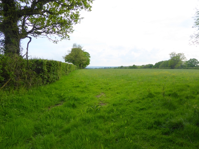
Godfrey Wood is characterized by its dense canopy of towering trees, predominantly consisting of oak, beech, and birch. The woodland floor is adorned with a rich carpet of wildflowers, creating a vibrant tapestry of colors during the spring and summer months. The wood is also home to a variety of wildlife, including squirrels, badgers, foxes, and a wide array of bird species.

The woodland offers numerous walking trails and paths, providing visitors with the opportunity to immerse themselves in the tranquil surroundings. These pathways meander through the ancient trees, offering glimpses of the sun-dappled forest floor and allowing visitors to appreciate the natural beauty of the area.

Godfrey Wood has a long history, with evidence of human settlement dating back to the Iron Age. The wood has played a significant role as a source of timber for local communities throughout the centuries. Today, it is a cherished area for nature enthusiasts, offering a peaceful retreat from the bustling towns and cities nearby.

Visitors to Godfrey Wood can enjoy a range of activities, including birdwatching, photography, and nature walks. The wood is open to the public throughout the year and offers a serene and captivating experience for all who venture within its boundaries.

If you have any feedback on the listing, please let us know in the comments section below.
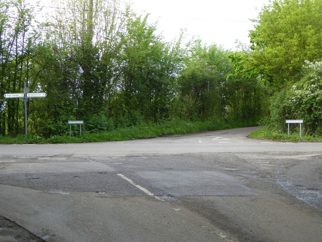
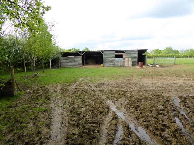
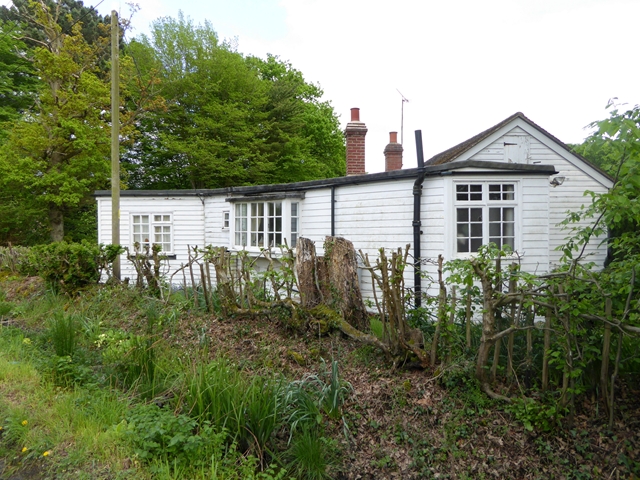
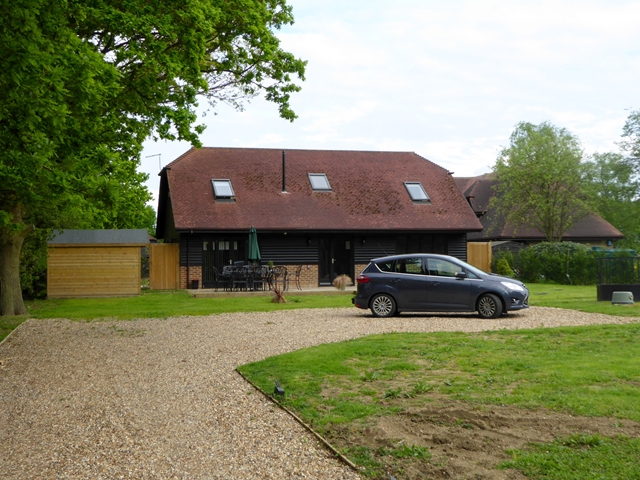
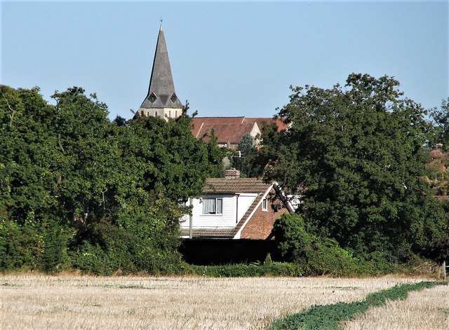
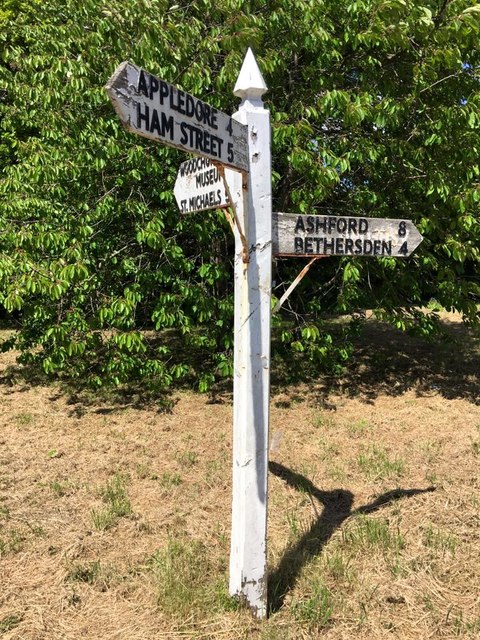
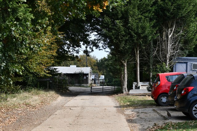
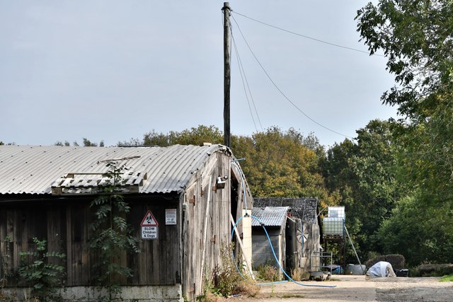
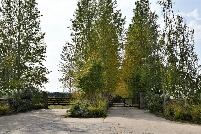
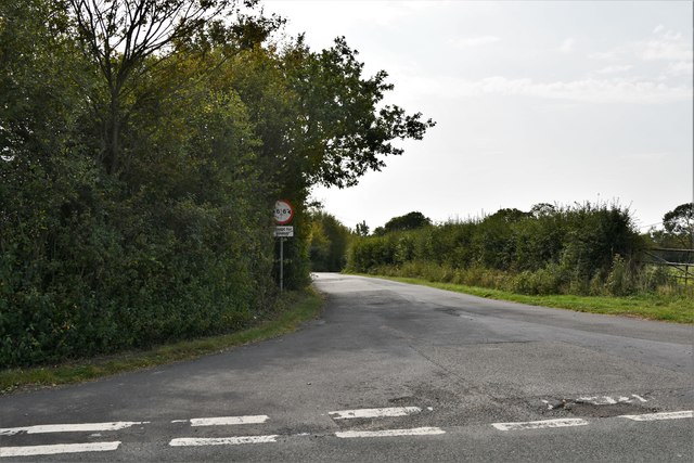
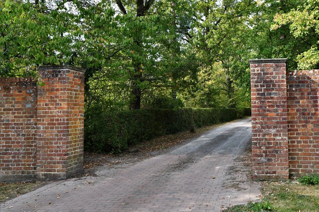
Godfrey Wood Images

Images are sourced within 2km of 51.084944/0.74342513 or Grid Reference TQ9235. Thanks to Geograph Open Source API. All images are credited.

Cuckolds Corner The intersection of Plurenden Road and Redbrook Street. There must be a story behind the name.
Cuckolds Corner
The intersection of Plurenden Road and Redbrook Street. There must be a story behind the name.
Muddy field and makeshift stable Off Plurenden Road.
Muddy field and makeshift stable
Off Plurenden Road.
Roadside cottage on Plurenden Road
Field at Shirkoak A public footpath runs alongside the hedge.
Field at Shirkoak
A public footpath runs alongside the hedge.
Appleyard Barn Barn conversion let as five-star self-catering accommodation.
Appleyard Barn
Barn conversion let as five-star self-catering accommodation.
All Saints Church from fields to south-east Note field path in bottom right corner
All Saints Church from fields to south-east
Note field path in bottom right corner
Direction Sign - Signpost by Bethersden Road, Woodchurch parish Spear finial - 3 arms; by the UC road, in parish of Woodchurch (Ashford District), on the northwest side of the junction of Front Road, Bethersden Road and Susan's Hill.

To be surveyed

Milestone Society National ID: KE_TQ9435
Direction Sign - Signpost by Bethersden Road, Woodchurch parish
Spear finial - 3 arms; by the UC road, in parish of Woodchurch (Ashford District), on the northwest side of the junction of Front Road, Bethersden Road and Susan's Hill. To be surveyed Milestone Society National ID: KE_TQ9435
Woodchurch: Maidenwood Farm
Shirkoak: Paddock
Shirkoak: Paddock
Shirkoak: 'Juggins Cottage'
Shirkoak: Little Tiffenden Farm
Shirkoak: Redbrook Street road junction
Shirkoak: Entrance to Boldshaves Garden (open to the public)
Shirkoak: 'Boldshaves Cottage'
Shirkoak: Susan's Hill road junction
Shirkoak: Cuckoo's Pit Farm
Show me another place!

Godfrey Wood is located at Grid Ref: TQ9235 (Lat: 51.084944, Lng: 0.74342513)

Administrative County: Kent

District: Ashford

Police Authority: Kent

What 3 Words

///breeze.workshops.movie. Near Woodchurch, Kent

Related Wikis

Nearby Amenities

Located within 500m of 51.084944,0.74342513
Barrier: yes
Lat/Long: 51.0883177/0.7420998
The data included in this document is from www.openstreetmap.org. The data is made available under ODbL.

Have you been to Godfrey Wood?

Leave your review of Godfrey Wood below (or comments, questions and feedback).