Chevin's Wood

Wood, Forest in Suffolk West Suffolk

England

Chevin's Wood

Bend on Moat Lane, Rougham The moat is at Moat Farm, a bit further back.
Bend on Moat Lane, Rougham Credit: Robin Webster

Chevin's Wood, located in Suffolk, is a picturesque woodland area known for its natural beauty and rich biodiversity. Spanning over a vast expanse, this forest is a haven for nature enthusiasts and provides a serene escape from the hustle and bustle of urban life.

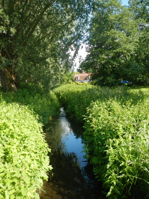
The wood boasts a diverse range of tree species, including oak, beech, and birch, which create a dense canopy, providing shade and shelter for a variety of flora and fauna. The forest floor is adorned with a vibrant carpet of wildflowers, including bluebells, primroses, and wood anemones, adding a splash of color to the landscape.

Many species of birds call Chevin's Wood their home, making it an ideal spot for birdwatching. Visitors may catch a glimpse of woodpeckers, warblers, and owls, among others. Additionally, the wood is home to many small mammals, including deer, foxes, and rabbits, which can often be spotted during walks or hikes.

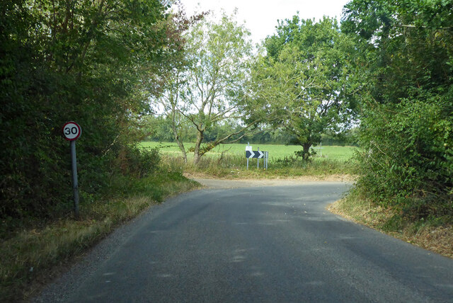
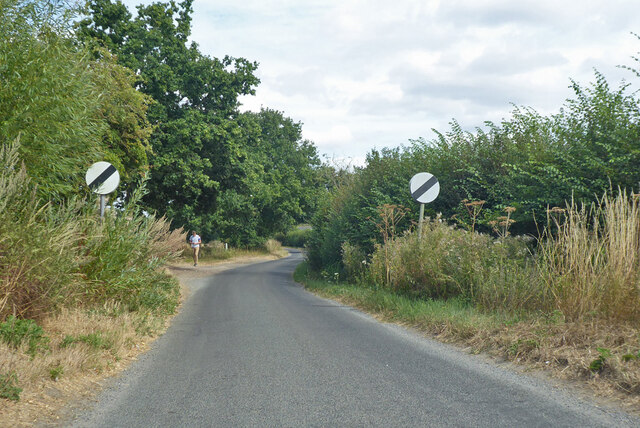
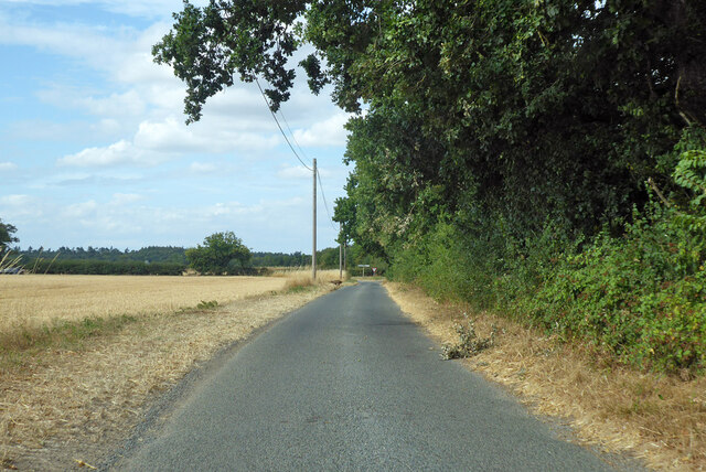
Several walking trails wind through the woods, allowing visitors to explore its hidden corners and enjoy the tranquility of nature. These well-marked paths make it easy for both beginners and experienced hikers to navigate through the forest and discover its natural wonders.

Chevin's Wood is not only a place of natural beauty but also holds historical significance. The forest has been part of the local landscape for centuries and has witnessed various changes over time. It serves as a reminder of Suffolk's rich heritage and offers a glimpse into the region's past.

Overall, Chevin's Wood in Suffolk is a captivating woodland that offers a peaceful retreat for those seeking solace in nature. Its diverse ecosystem, scenic trails, and historical significance make it a must-visit destination for nature lovers and history enthusiasts alike.

If you have any feedback on the listing, please let us know in the comments section below.

Chevin's Wood Images

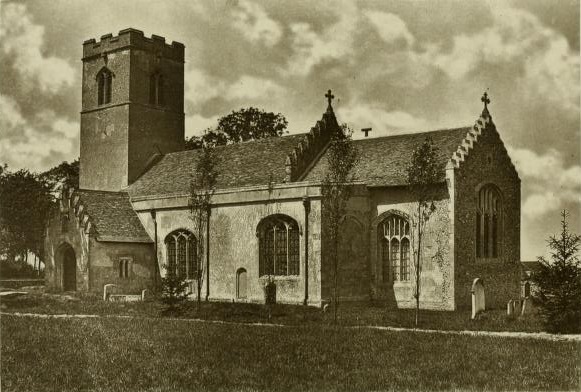
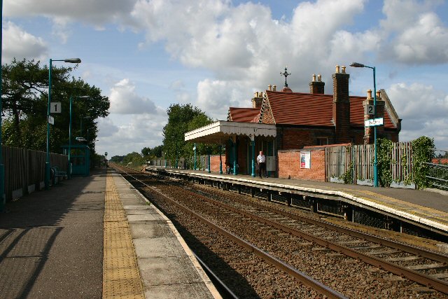
Images are sourced within 2km of 52.22494/0.82027894 or Grid Reference TL9262. Thanks to Geograph Open Source API. All images are credited.

Bend on Moat Lane, Rougham The moat is at Moat Farm, a bit further back.
Bend on Moat Lane, Rougham
The moat is at Moat Farm, a bit further back.
Nether Street becomes derestricted Leaving Rougham and Kingshall Street behind.
Nether Street becomes derestricted
Leaving Rougham and Kingshall Street behind.
Nether Street towards High Rougham
Quaker Lane Looking north to a junction with Bury Road.
Quaker Lane
Looking north to a junction with Bury Road.
Bury Road west from New Road crossroads Bury Road was the old Stowmarket - Bury St Edmunds road, part of the A45, before it was supplanted by the current A14. It is two way ahead for a bit for access purposes, then a one way slip onto the A14 where old and new routes coincide.
Bury Road west from New Road crossroads
Bury Road was the old Stowmarket - Bury St Edmunds road, part of the A45, before it was supplanted by the current A14. It is two way ahead for a bit for access purposes, then a one way slip onto the A14 where old and new routes coincide.
Footpath Footpath off Manor Road near to Hesset, Suffolk.
Footpath
Footpath off Manor Road near to Hesset, Suffolk.
Poplars Along New Road The west side of New Road,Rougham, south of the junction with Church Road.
Poplars Along New Road
The west side of New Road,Rougham, south of the junction with Church Road.
Stubble Field The footpath on the left leads from Church Road to Moat Lane. The trees in the middle of the field surround the small pond shown on the 1:25000 map.
Stubble Field
The footpath on the left leads from Church Road to Moat Lane. The trees in the middle of the field surround the small pond shown on the 1:25000 map.
Field of Barley, Rougham Looking south from near the junction of New Road, Rougham with the former A45
Field of Barley, Rougham
Looking south from near the junction of New Road, Rougham with the former A45
Fields Beside Church Road, Rougham Looking south from Church Road
Fields Beside Church Road, Rougham
Looking south from Church Road
Footpath from Rougham Green to Kingshall Street The houses in the background are on Kingshall Street
Footpath from Rougham Green to Kingshall Street
The houses in the background are on Kingshall Street
Colville's Grove and Kingshall Farm
Footpath from Kingshall Street to Rougham Green
Stream, Beyton Green
Bury Road Formerly the A45.
Bury Road
Formerly the A45.
Farm Track at High Rougham The track is also a public right of way.
Farm Track at High Rougham
The track is also a public right of way.
Avenue of Lime Trees, Rougham The avenue originally lead from Rougham Hall to the church.
Avenue of Lime Trees, Rougham
The avenue originally lead from Rougham Hall to the church.
St Mary's Church, Rougham Seen from the lime tree avenue.
St Mary's Church, Rougham
Seen from the lime tree avenue.
Show me another place!

Chevin's Wood is located at Grid Ref: TL9262 (Lat: 52.22494, Lng: 0.82027894)

Administrative County: Suffolk

District: West Suffolk

Police Authority: Suffolk

What 3 Words

///retained.prompt.burglars. Near Thurston, Suffolk

Nearby Locations

Chevin's Wood

Related Wikis

Nearby Amenities

Located within 500m of 52.22494,0.82027894
High Rougham
Place: hamlet
Lat/Long: 52.2240269/0.8145606
The data included in this document is from www.openstreetmap.org. The data is made available under ODbL.

Have you been to Chevin's Wood?

Leave your review of Chevin's Wood below (or comments, questions and feedback).