Gore's Bushes
Wood, Forest in Suffolk West Suffolk
England
Gore's Bushes
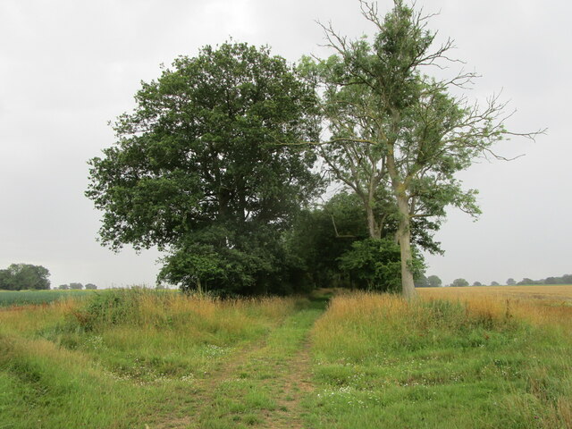
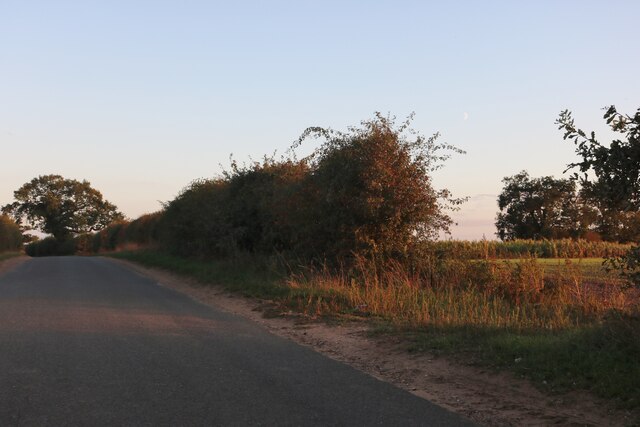
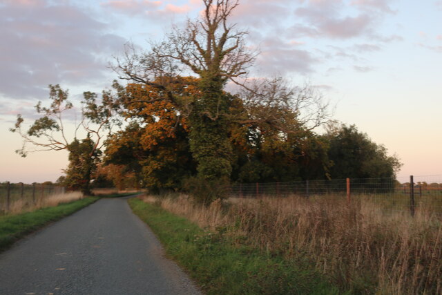
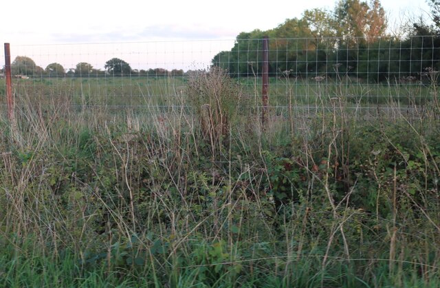
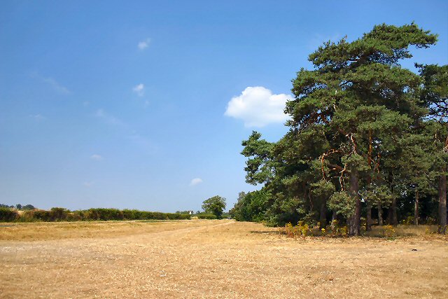
Gore's Bushes is a picturesque woodland area located in Suffolk, England. Nestled in the heart of the county, this enchanting forest is known for its sprawling greenery, diverse wildlife, and tranquil atmosphere. Stretching over several acres, Gore's Bushes is a popular destination for nature enthusiasts, hikers, and families seeking a peaceful retreat.
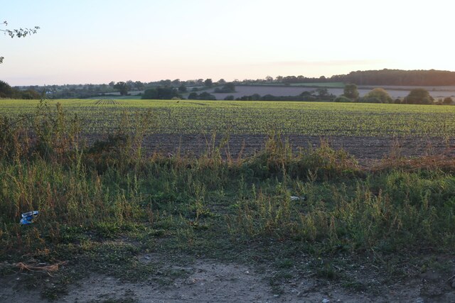
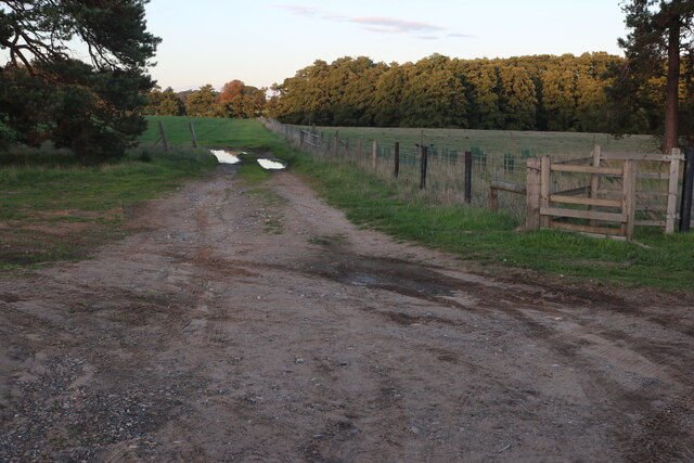
The woodland is predominantly composed of ancient oak and beech trees, creating a dense canopy that provides shade on sunny days. The lush undergrowth is filled with an array of plant species, including wildflowers, ferns, and mosses, adding to the area's natural beauty. Visitors can wander along the well-maintained trails that wind through the woods, immersing themselves in the sights and sounds of nature.
Gore's Bushes is also home to a variety of wildlife, making it a haven for animal lovers. The forest is a habitat for deer, squirrels, rabbits, and a wide range of bird species, such as woodpeckers and owls. Birdwatchers can often spot these feathered creatures perched on branches or soaring through the sky.
The forest is open to the public year-round and offers a range of activities for visitors to enjoy. Whether it's a leisurely stroll, a picnic amidst the greenery, or simply taking in the serene surroundings, Gore's Bushes provides a peaceful escape from the hustle and bustle of everyday life.
Overall, Gore's Bushes in Suffolk is a natural treasure, offering a sanctuary for both flora and fauna. Its lush woodlands, diverse wildlife, and tranquil ambience make it a must-visit destination for nature lovers and those seeking a respite in the heart of the Suffolk countryside.
If you have any feedback on the listing, please let us know in the comments section below.
Gore's Bushes Images
Images are sourced within 2km of 52.35283/0.81268867 or Grid Reference TL9176. Thanks to Geograph Open Source API. All images are credited.


Gore's Bushes is located at Grid Ref: TL9176 (Lat: 52.35283, Lng: 0.81268867)
Administrative County: Suffolk
District: West Suffolk
Police Authority: Suffolk
What 3 Words
///gripes.committed.chemistry. Near Ixworth, Suffolk
Nearby Locations
Related Wikis

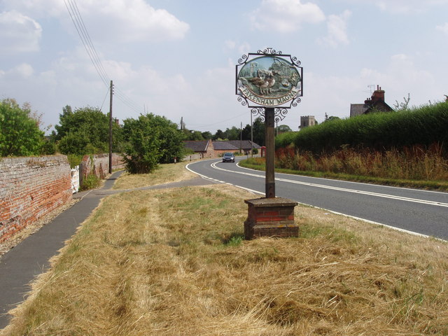
Fakenham Magna
Fakenham Magna (or Great Fakenham) is a village and civil parish in the West Suffolk district of Suffolk in eastern England. The meaning of the word 'Fakenham...

Fakenham Wood and Sapiston Great Grove
Fakenham Wood and Sapiston Great Grove is a 200.7-hectare (496-acre) biological Site of Special Scientific Interest north of Sapiston in Suffolk.These...

Sapiston
Sapiston is a small village and civil parish in the West Suffolk district of Suffolk in eastern England, located near the Suffolk-Norfolk border. It is...
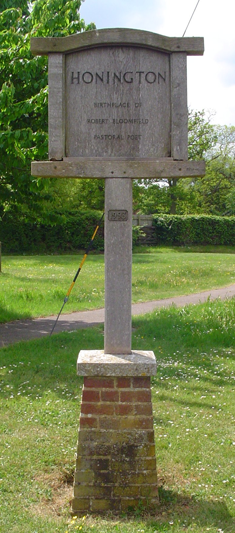
Honington, Suffolk
Honington is a village and civil parish located in Bardwell Ward and Pakenham and Troston Wards of West Suffolk District Council, Suffolk in eastern England...

St Andrew's Church, Sapiston
St Andrew's Church is a redundant Anglican church in the village of Sapiston, Suffolk, England. It is recorded in the National Heritage List for England...

Euston Hall
Euston Hall is a country house, with park by William Kent and Capability Brown, located in Euston, a small village in Suffolk located just south of Thetford...

RAF Honington
Royal Air Force Honington or more simply RAF Honington (IATA: BEQ, ICAO: EGXH) is a Royal Air Force station located 6 mi (9.7 km) south of Thetford near...

Euston, Suffolk
Euston is a village and civil parish in the West Suffolk district of Suffolk in eastern England. Located on the A1088 around two miles south of Thetford...
Nearby Amenities
Located within 500m of 52.35283,0.81268867Have you been to Gore's Bushes?
Leave your review of Gore's Bushes below (or comments, questions and feedback).