Bartonhall Grove
Wood, Forest in Essex Rochford
England
Bartonhall Grove

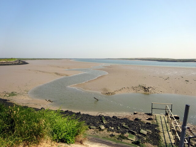
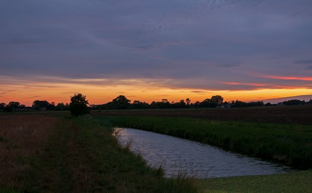
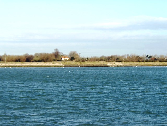
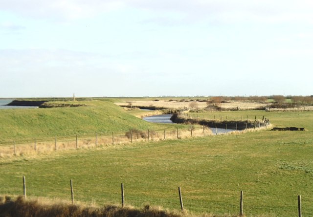
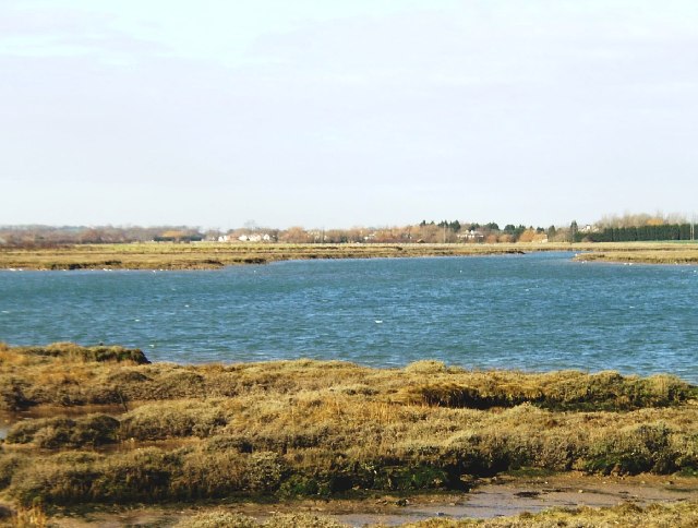
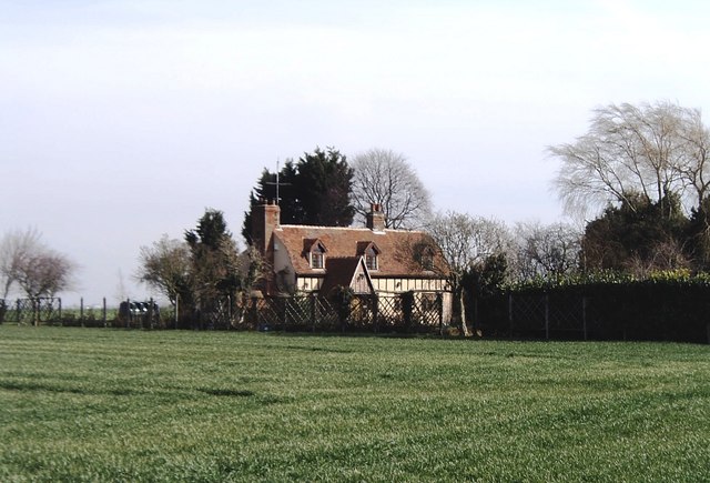
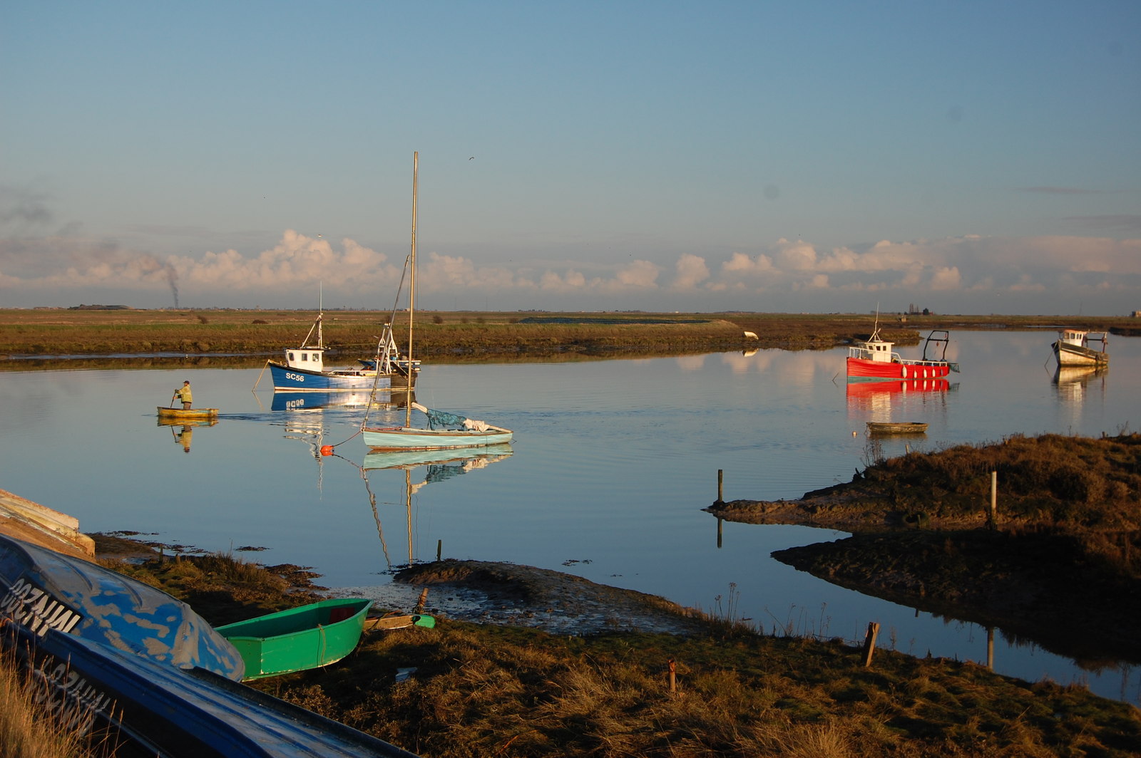
Bartonhall Grove is a picturesque woodland located in Essex, England. Situated in the heart of the county, this beautiful forested area is a haven for nature enthusiasts and those seeking tranquility amidst stunning natural surroundings.
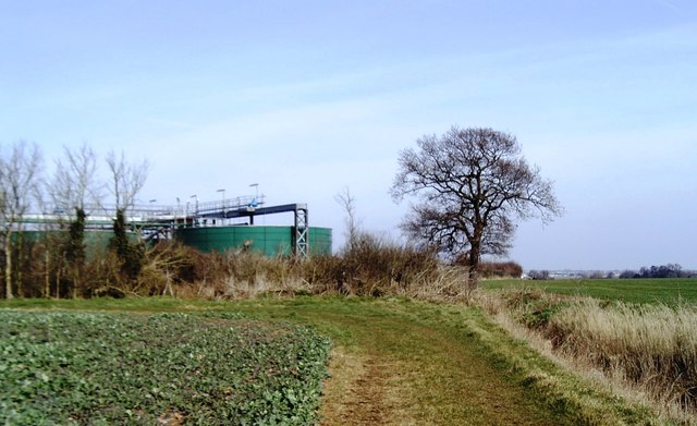
Covering an extensive area, Bartonhall Grove is home to a diverse range of trees, including oak, beech, and birch. The forest boasts a rich biodiversity, with a multitude of plant and animal species thriving within its boundaries. Visitors can expect to encounter a variety of bird species, such as woodpeckers and owls, as well as small mammals like squirrels and rabbits.
The forest offers a network of well-maintained walking trails, providing the perfect opportunity for visitors to explore its beauty at their own pace. These trails offer breathtaking views of the woodland, with sunlight filtering through the dense canopy and casting an enchanting glow on the forest floor. The peaceful atmosphere and the soothing sounds of nature make it an ideal spot for a leisurely stroll or a peaceful picnic.
Bartonhall Grove is also an important ecological site, with efforts made to preserve and protect its natural heritage. The forest is managed by a dedicated team, who work tirelessly to ensure that the delicate ecosystem remains intact and thriving.
Whether you are a nature lover, a hiker, or simply seeking a break from the hustle and bustle of everyday life, Bartonhall Grove offers a serene and idyllic escape. With its stunning woodland landscape, diverse wildlife, and well-maintained trails, it is the perfect destination for anyone looking to reconnect with nature in the heart of Essex.
If you have any feedback on the listing, please let us know in the comments section below.
Bartonhall Grove Images
Images are sourced within 2km of 51.594193/0.76556715 or Grid Reference TQ9191. Thanks to Geograph Open Source API. All images are credited.


Bartonhall Grove is located at Grid Ref: TQ9191 (Lat: 51.594193, Lng: 0.76556715)
Administrative County: Essex
District: Rochford
Police Authority: Essex
What 3 Words
///spotty.permit.shed. Near Canewdon, Essex
Nearby Locations
Related Wikis
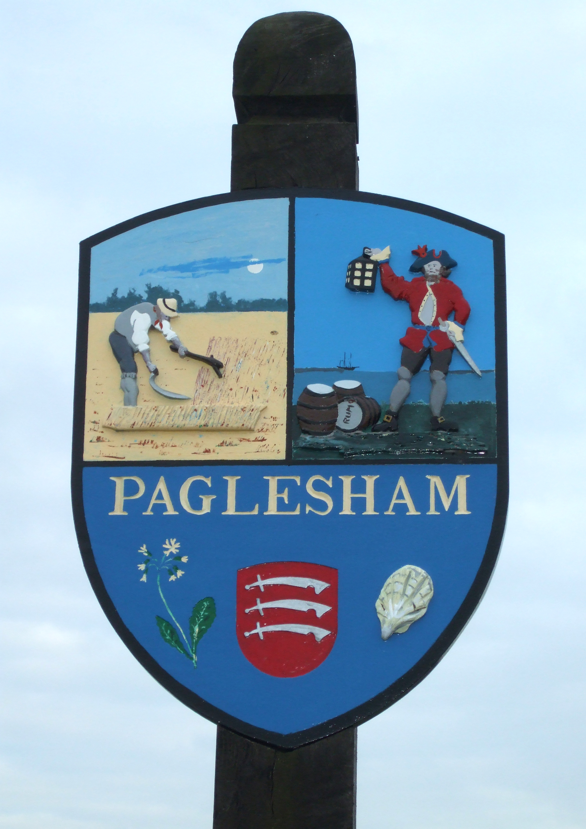
Paglesham
Paglesham ( PAG-əl-shəm) is a village and civil parish in the north east of the Rochford Rural District, Essex. The parish includes two hamlets of Eastend...

Stambridge
Stambridge is a civil parish in the Rochford district in Essex, England. It is located north of the River Roach between Rochford and Paglesham. The parish...

Great Stambridge
Great Stambridge is a village and former civil parish, 15 miles (24 km) south east of Chelmsford, now in the parish of Stambridge, in the Rochford district...
Barling, Essex
Barling is a village and former civil parish, now in the civil parish of Barling Magna in the Rochford district, in the county of Essex, England. It is...

Lion Creek and Lower Raypits
Lion Creek and Lower Raypits is a 65.2-hectare (161-acre) nature reserve east of Canewdon in Essex. It is part of the Crouch and Roach Estuaries Site of...
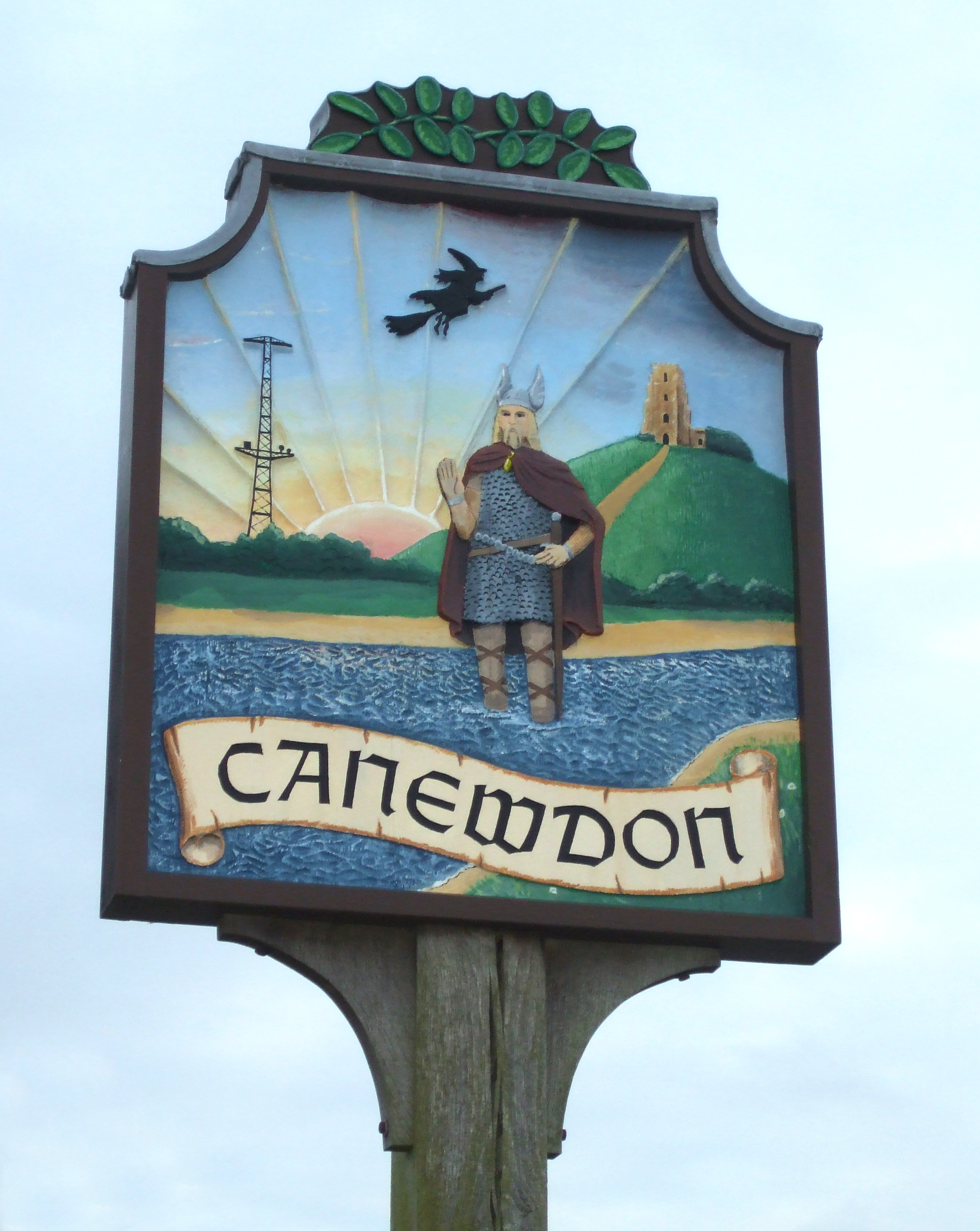
Canewdon
Canewdon is a village and civil parish in the Rochford district of Essex, England. The village is located approximately 4 miles (6.4 km) northeast of the...

HMS Beagle
HMS Beagle was a Cherokee-class 10-gun brig-sloop of the Royal Navy, one of more than 100 ships of this class. The vessel, constructed at a cost of £7...

Potton Island
Potton Island is a sparsely populated island west of Foulness in Essex, England. It is connected to the mainland by a swing bridge with a traffic light...
Have you been to Bartonhall Grove?
Leave your review of Bartonhall Grove below (or comments, questions and feedback).