Burnthall Plantation
Wood, Forest in Suffolk West Suffolk
England
Burnthall Plantation
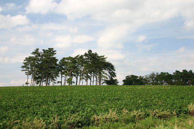
Burnthall Plantation is a picturesque woodland located in Suffolk, England. It is known for its lush green trees, diverse wildlife, and tranquil atmosphere, making it a popular destination for nature lovers and outdoor enthusiasts.
Covering an area of approximately 100 acres, Burnthall Plantation is predominantly composed of deciduous trees, including oak, beech, and birch. These trees provide a dense canopy that offers shade during the summer months and a vibrant display of colors during the autumn season. The forest floor is adorned with a carpet of wildflowers, creating a vibrant and enchanting setting.
The plantation is home to a rich variety of wildlife, including deer, foxes, badgers, and numerous species of birds. Birdwatchers can enjoy spotting woodpeckers, owls, and various songbirds among the treetops. The diverse ecosystem of Burnthall Plantation also supports a wide range of insects, butterflies, and small mammals.
There are several well-marked trails that wind their way through the woodland, providing visitors with the opportunity to explore the plantation on foot or by bicycle. These paths offer stunning views of the surrounding countryside and lead to secluded picnic spots, allowing visitors to relax and enjoy the serene surroundings.
Burnthall Plantation is managed by the local authorities, who strive to maintain its natural beauty and protect its wildlife. The plantation is open to the public throughout the year, and there is no admission fee, making it an accessible and affordable destination for all. Whether you are seeking a peaceful retreat or an opportunity to immerse yourself in nature, Burnthall Plantation offers a truly idyllic experience.
If you have any feedback on the listing, please let us know in the comments section below.
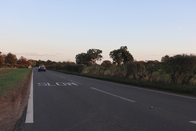
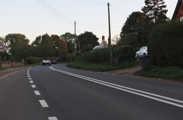
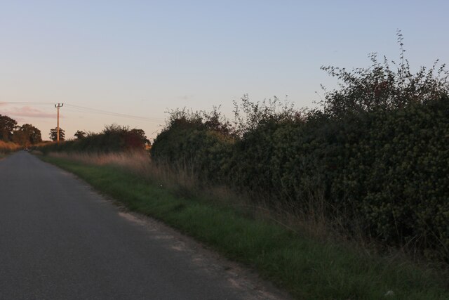
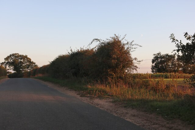
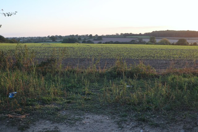
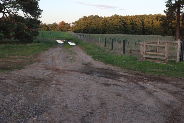
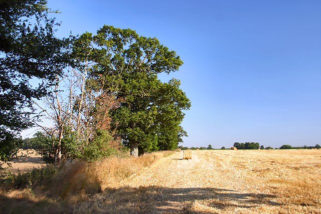
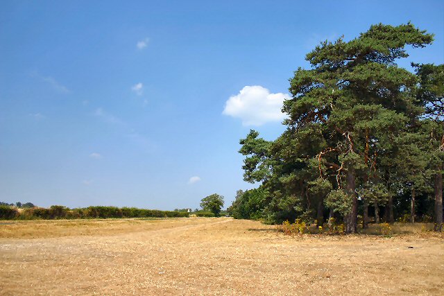
Burnthall Plantation Images
Images are sourced within 2km of 52.349422/0.80587857 or Grid Reference TL9176. Thanks to Geograph Open Source API. All images are credited.


Burnthall Plantation is located at Grid Ref: TL9176 (Lat: 52.349422, Lng: 0.80587857)
Administrative County: Suffolk
District: West Suffolk
Police Authority: Suffolk
What 3 Words
///liver.brambles.boots. Near Ixworth, Suffolk
Nearby Locations
Related Wikis

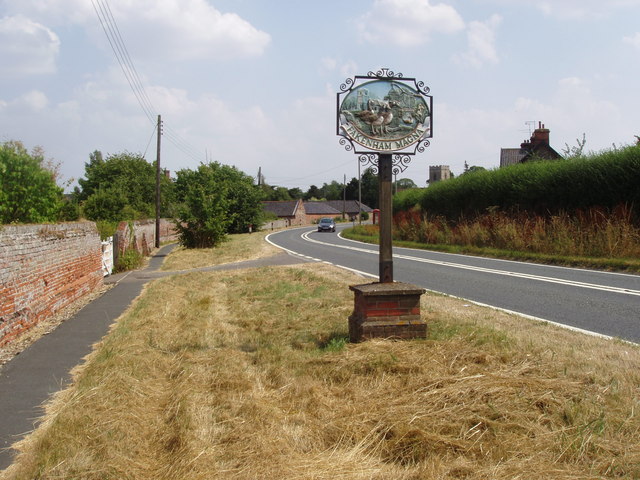
Fakenham Magna
Fakenham Magna (or Great Fakenham) is a village and civil parish in the West Suffolk district of Suffolk in eastern England. The meaning of the word 'Fakenham...

Sapiston
Sapiston is a small village and civil parish in the West Suffolk district of Suffolk in eastern England, located near the Suffolk-Norfolk border. It is...
Honington, Suffolk
Honington is a village and civil parish located in Bardwell Ward and Pakenham and Troston Wards of West Suffolk District Council, Suffolk in eastern England...

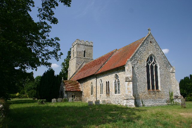
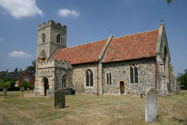
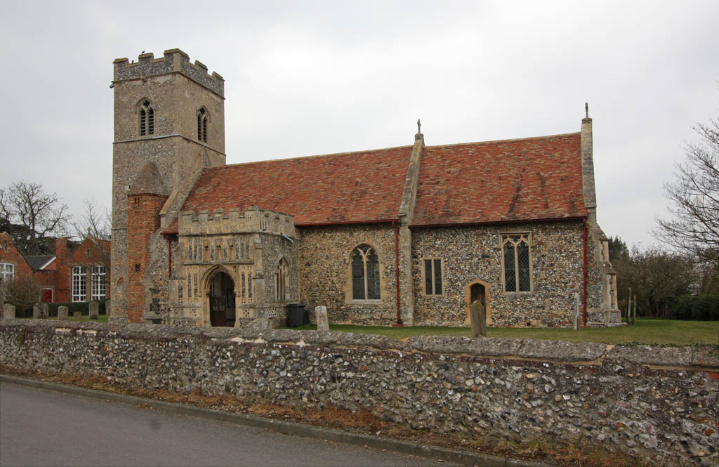
St Andrew's Church, Sapiston
St Andrew's Church is a redundant Anglican church in the village of Sapiston, Suffolk, England. It is recorded in the National Heritage List for England...
Nearby Amenities
Located within 500m of 52.349422,0.80587857Have you been to Burnthall Plantation?
Leave your review of Burnthall Plantation below (or comments, questions and feedback).