Dark Plantation

Wood, Forest in Norfolk Breckland

England

Dark Plantation

Queues for Fuel, Thetford Road At the time of photographing, motorists are responding by panic buying to a shortage of fuel deliveries to filling stations (caused by a shortage of HGV drivers). Hence long queues have formed at those places that have not yet sold out.
Queues for Fuel, Thetford Road Credit: Paul Collins

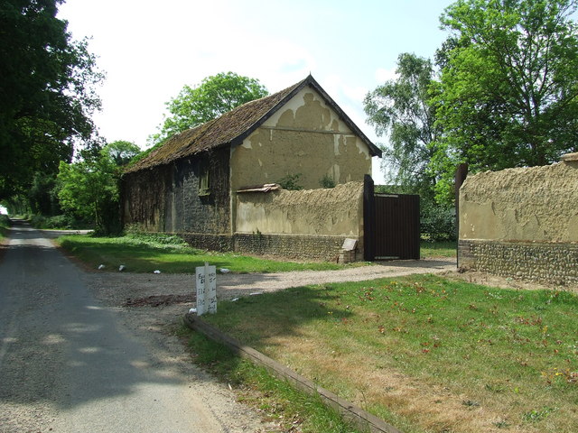
Dark Plantation is a captivating woodland area located in Norfolk, England. Enveloped by lush greenery, this enchanting forest is a haven for nature enthusiasts and those seeking respite from the hustle and bustle of daily life. Spanning over a considerable area, Dark Plantation offers a diverse range of flora and fauna, making it an ideal destination for botanists and wildlife enthusiasts alike.

The woodland derives its name from the dense canopy of trees that cast a captivating shadow over the forest floor, creating an atmosphere of tranquility and mystery. Towering oak, beech, and birch trees dominate the landscape, their gnarled branches intertwining to form a natural canopy that filters sunlight and adds to the ethereal ambiance.

The forest floor is carpeted with a rich assortment of plants, including bluebells, wild garlic, and wood anemones, providing a burst of color amidst the sea of green. Various species of ferns, mosses, and lichens can also be found, adding to the diverse ecosystem of the woodland.

Dark Plantation is not only a visual delight but also a thriving habitat for a plethora of wildlife. The forest is home to a myriad of bird species, including woodpeckers, owls, and thrushes. Small mammals such as squirrels, rabbits, and foxes can be spotted darting through the undergrowth, while the occasional deer can be seen gracefully meandering through the trees.

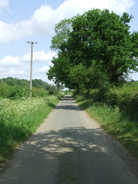
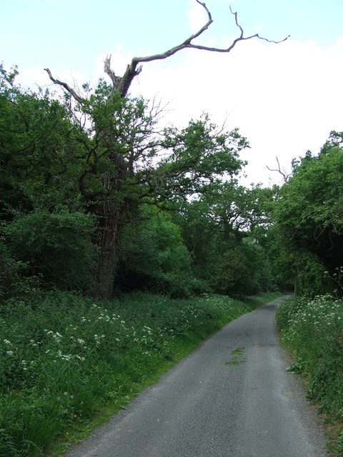
The forest also boasts a network of picturesque trails, inviting visitors to explore its hidden corners and uncover its secrets. Whether it is a leisurely stroll, a bird-watching expedition, or simply a moment of solitude amidst nature, Dark Plantation offers a truly immersive experience for all who venture into its depths.

If you have any feedback on the listing, please let us know in the comments section below.

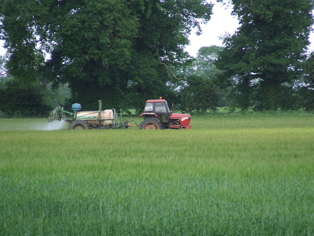
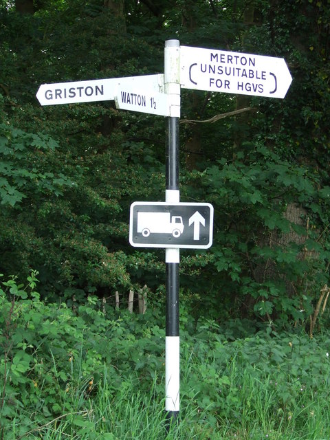
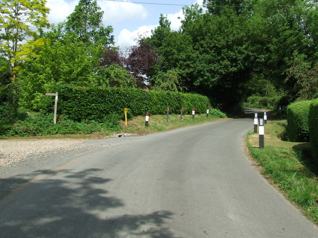
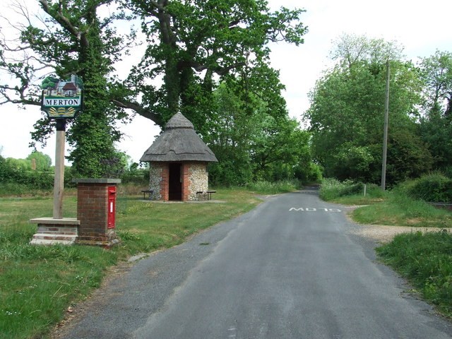
Dark Plantation Images

Images are sourced within 2km of 52.550103/0.82069031 or Grid Reference TL9198. Thanks to Geograph Open Source API. All images are credited.

Queues for Fuel, Thetford Road At the time of photographing, motorists are responding by panic buying to a shortage of fuel deliveries to filling stations (caused by a shortage of HGV drivers). Hence long queues have formed at those places that have not yet sold out.
Queues for Fuel, Thetford Road
At the time of photographing, motorists are responding by panic buying to a shortage of fuel deliveries to filling stations (caused by a shortage of HGV drivers). Hence long queues have formed at those places that have not yet sold out.
Study of a Gasoline Station Jet, Watton.

 This photograph is part of a series taken in homage to the American artist Ed Ruscha's 1963 publication of 'Twentysix Gasoline Stations'.
 More properly known as filling stations in the UK, I am attempting to photograph as many as possible to mark the sixty year anniversary.
Study of a Gasoline Station
Jet, Watton. This photograph is part of a series taken in homage to the American artist Ed Ruscha's 1963 publication of 'Twentysix Gasoline Stations'. More properly known as filling stations in the UK, I am attempting to photograph as many as possible to mark the sixty year anniversary.
Village Hall Thompson village hall Thompson, Norfolk.
Village Hall
Thompson village hall Thompson, Norfolk.
Road Sign Finger post at Thompson, Norfolk.
Road Sign
Finger post at Thompson, Norfolk.
Cross Roads Road junction at Thompson, Norfolk.
Cross Roads
Road junction at Thompson, Norfolk.
Griston Road Griston Road looking north east near to Thompson, Norfolk.
Griston Road
Griston Road looking north east near to Thompson, Norfolk.
Footpath Footpath to Thompson church near to Thompson, Norfolk.
Footpath
Footpath to Thompson church near to Thompson, Norfolk.
No More Knotweed Compare this photo of Low Common Farm with Jonathan Billingers of 2007 <a title="https://www.geograph.org.uk/photo/473894" href="https://www.geograph.org.uk/photo/473894">Link</a> and the Knotweed appears to have been eradicated. Near to Thompson, Norfolk.
No More Knotweed
Compare this photo of Low Common Farm with Jonathan Billingers of 2007 Link and the Knotweed appears to have been eradicated. Near to Thompson, Norfolk.
Country Road Country road near to Thompson, Norfolk.
Country Road
Country road near to Thompson, Norfolk.
Silverdell Silverdell house near to Thompson, Norfolk.
Silverdell
Silverdell house near to Thompson, Norfolk.
Road Junction Road junction near to Thompson, Norfolk.
Road Junction
Road junction near to Thompson, Norfolk.
Country Lane Country lane near to Thompson, Norfolk.
Country Lane
Country lane near to Thompson, Norfolk.
Crop Spraying Crop spraying near to Thompson, Norfolk.
Crop Spraying
Crop spraying near to Thompson, Norfolk.
Finger Post Finger post road sign near to Thompson, Norfolk.
Finger Post
Finger post road sign near to Thompson, Norfolk.
Footpath And Road Footpath leading to Merton Church as seen leaving Crows Lane at Merton, Norfolk.
Footpath And Road
Footpath leading to Merton Church as seen leaving Crows Lane at Merton, Norfolk.
Village Sign Village sign on the village green plus shelter and post box at Merton, Norfolk. For close up of the two different sides of the village sign see <a title="https://www.geograph.org.uk/photo/2417140" href="https://www.geograph.org.uk/photo/2417140">Link</a> and <a title="https://www.geograph.org.uk/photo/2417142" href="https://www.geograph.org.uk/photo/2417142">Link</a>
Village Sign
Village sign on the village green plus shelter and post box at Merton, Norfolk. For close up of the two different sides of the village sign see Link and Link
Village Sign One side of the village sign at Merton, Norfolk for other side see <a title="https://www.geograph.org.uk/photo/2417142" href="https://www.geograph.org.uk/photo/2417142">Link</a> and <a title="https://www.geograph.org.uk/photo/2417138" href="https://www.geograph.org.uk/photo/2417138">Link</a>
Village Sign
One side of the village sign at Merton, Norfolk for other side see Link and Link
Village Sign One side of the village sign at Merton, Norfolk for other side see <a title="https://www.geograph.org.uk/photo/2417140" href="https://www.geograph.org.uk/photo/2417140">Link</a> and <a title="https://www.geograph.org.uk/photo/2417138" href="https://www.geograph.org.uk/photo/2417138">Link</a>
Village Sign
One side of the village sign at Merton, Norfolk for other side see Link and Link
Show me another place!

Dark Plantation is located at Grid Ref: TL9198 (Lat: 52.550103, Lng: 0.82069031)

Administrative County: Norfolk

District: Breckland

Police Authority: Norfolk

What 3 Words

///bounty.rewarded.repeat. Near Watton, Norfolk

Related Wikis

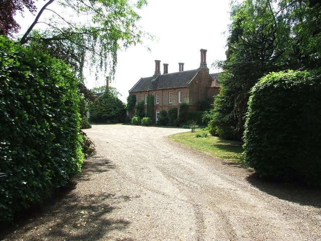
Merton Hall, Norfolk

Merton Hall is a 19th century country house in Merton, Norfolk, England. The extant north-west wing is a Grade II listed building. The 17th-century gatehouse...
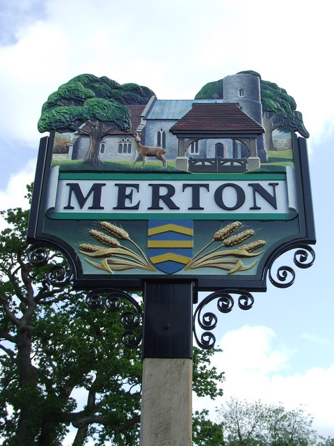
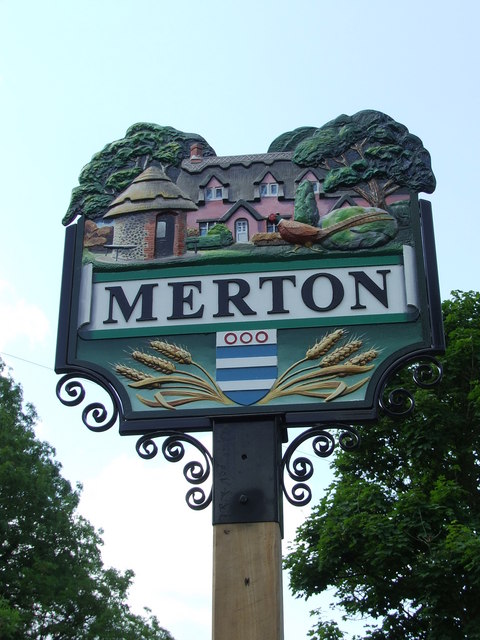
Merton, Norfolk

Merton is a civil parish in the English county of Norfolk. It covers an area of 5.94 km2 (2.29 sq mi) and had a population of 113 in 50 households at the...

Wayland Wood

Wayland Wood is a 31.7-hectare (78-acre) biological Site of Special Scientific Interest near to Watton in Norfolk. It is a Nature Conservation Review...

Wayland Academy, Watton

Wayland Academy (formerly Wayland Community High School) is a small mixed secondary school located in Watton in the English county of Norfolk. It is part...

Thompson, Norfolk

Thompson is a civil parish in the English county of Norfolk. It covers an area of 9.20 km2 (3.55 sq mi) and including Tottington had a population of 341...

Watton, Norfolk

Watton is a market town in the district of Breckland in the English county of Norfolk, about 25 miles (40 km) west-southwest of Norwich and 15 miles (24...

Watton railway station

Watton railway station was located in Watton, Norfolk. It was on the Great Eastern Railway line between Swaffham and Thetford, and closed for passengers...

Wayland Hall

Wayland Hall, also known as Watton Town Hall, is a community events venue in Middle Street, Watton, Norfolk, England: the structure, which also accommodates...

Nearby Amenities

Located within 500m of 52.550103,0.82069031
Watton Road, adj
Naptan AtcoCode: 2900M143
Naptan Bearing: N
Naptan BusStopType: CUS
Naptan CommonName: Watton Road
Naptan Indicator: adj
Naptan Landmark: Hall Entrance
Naptan Locality: Merton
Naptan NaptanCode: nfodgjwj
Naptan ShortCommonName: Watton Road
Naptan Street: Watton Road
Naptan Verified: no
Source: naptan_import
Lat/Long: 52.5478413/0.819667
Watton Road, opp
Naptan AtcoCode: 2900M144
Naptan Bearing: S
Naptan BusStopType: CUS
Naptan CommonName: Watton Road
Naptan Indicator: opp
Naptan Landmark: Hall Entrance
Naptan Locality: Merton
Naptan NaptanCode: nfodgjwm
Naptan ShortCommonName: Watton Road
Naptan Street: Watton Road
Naptan Verified: no
Source: naptan_import
Lat/Long: 52.5478572/0.8197565
Post Box
Collection Times: Mo-Fr 17:30; Sa 09:10
Operator: Royal Mail
Post Box Mounting: brick_pillar
Post Box Type: wall
Ref: IP25 3385
Royal Cypher: GR
Royal Cypher Wikidata: Q33102273
Lat/Long: 52.5475987/0.8195927
Entrance: main
Lat/Long: 52.5465494/0.8182519
Bench
Backrest: yes
Material: wood
Seats: 2
Lat/Long: 52.5468782/0.8181519
Bench
Backrest: yes
Material: wood
Seats: 2
Lat/Long: 52.5468821/0.8181928
The data included in this document is from www.openstreetmap.org. The data is made available under ODbL.

Have you been to Dark Plantation?

Leave your review of Dark Plantation below (or comments, questions and feedback).