Nettlehill Covert

Wood, Forest in Norfolk Breckland

England

Nettlehill Covert

Crow's Lane A charming narrow road with nice views of Norfolk countryside.
Crow's Lane Credit: David Bremner

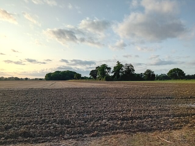
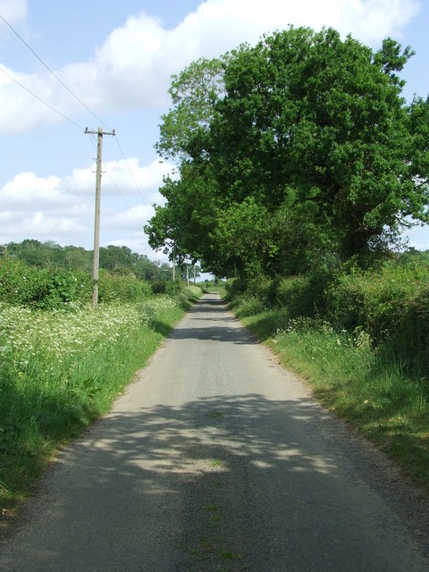
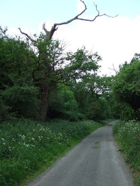
Nettlehill Covert is a picturesque woodland located in Norfolk, England. Spread across an area of approximately 50 acres, it is known for its dense and enchanting forest cover. The covert is situated near the village of Nettlehill, which adds to its charm and accessibility.

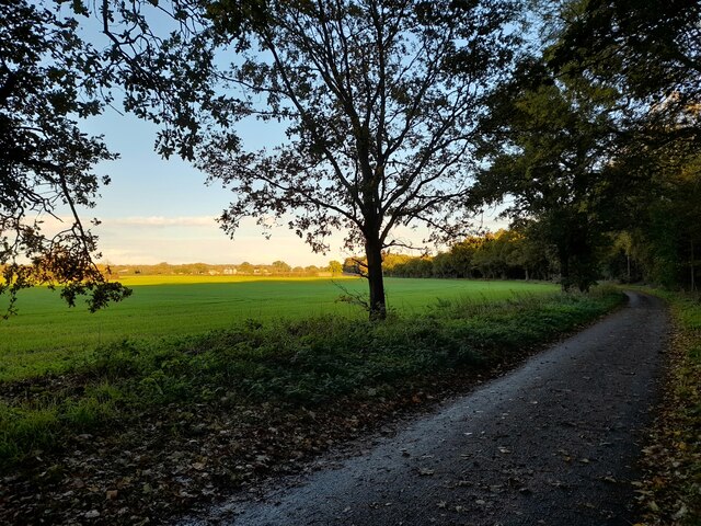
The woodland is predominantly composed of tall, mature trees, creating a captivating canopy that provides shade and shelter for a diverse range of flora and fauna. The dominant tree species found here include oak, ash, beech, and birch, among others. These trees provide a rich habitat for a variety of wildlife, such as squirrels, deer, and numerous bird species, making it a popular destination for nature enthusiasts and birdwatchers.

Nettlehill Covert offers a tranquil escape from the hustle and bustle of everyday life. It is a haven for walkers and hikers, with several well-maintained trails meandering through the woods. These paths allow visitors to explore the woodland at their own pace, admiring the beauty of the surroundings and immersing themselves in nature.

The woodland also boasts a diverse understory of plants, including bluebells, wood anemones, and ferns, creating a stunning display of colors during the spring and summer months. This, combined with the peaceful ambiance and the soothing sounds of birdsong, makes Nettlehill Covert a truly magical place to visit.

Overall, Nettlehill Covert in Norfolk is a remarkable woodland that offers a delightful escape into nature. With its ancient trees, abundant wildlife, and scenic trails, it provides a haven for those seeking tranquility and a deeper connection with the natural world.

If you have any feedback on the listing, please let us know in the comments section below.

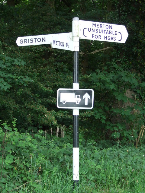
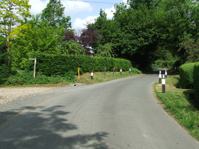
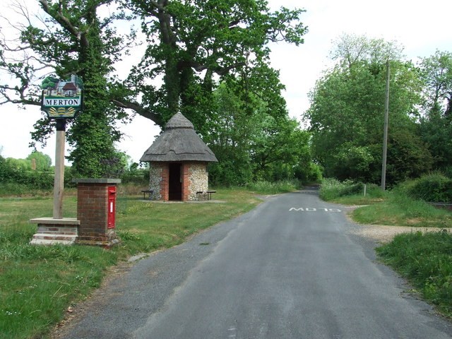
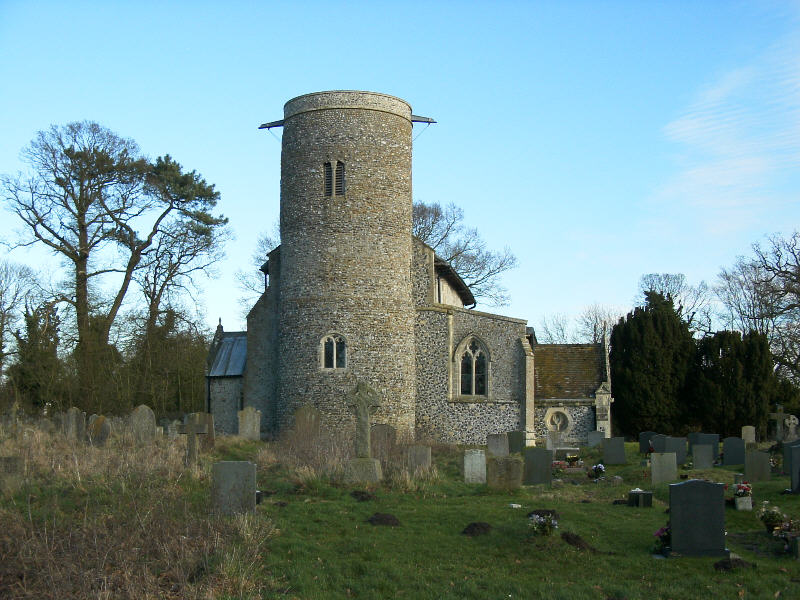
Nettlehill Covert Images

Images are sourced within 2km of 52.550899/0.81633042 or Grid Reference TL9198. Thanks to Geograph Open Source API. All images are credited.

Crow's Lane A charming narrow road with nice views of Norfolk countryside.
Crow's Lane
A charming narrow road with nice views of Norfolk countryside.
A Glimpse of Norfolk A typical farmland scene.
A Glimpse of Norfolk
A typical farmland scene.
The Retreat Near Merton.
The Retreat
Near Merton.
Track Entrance Near Merton.
Track Entrance
Near Merton.
Farmland near Merton Taken in the late afternoon.
Farmland near Merton
Taken in the late afternoon.
Ploughed Field Taken from the road from Merton to Watton.
Ploughed Field
Taken from the road from Merton to Watton.
Study of a Gasoline Station Jet, Watton.

 This photograph is part of a series taken in homage to the American artist Ed Ruscha's 1963 publication of 'Twentysix Gasoline Stations'.
 More properly known as filling stations in the UK, I am attempting to photograph as many as possible to mark the sixty year anniversary.
Study of a Gasoline Station
Jet, Watton. This photograph is part of a series taken in homage to the American artist Ed Ruscha's 1963 publication of 'Twentysix Gasoline Stations'. More properly known as filling stations in the UK, I am attempting to photograph as many as possible to mark the sixty year anniversary.
Griston Road Griston Road looking north east near to Thompson, Norfolk.
Griston Road
Griston Road looking north east near to Thompson, Norfolk.
Footpath Footpath to Thompson church near to Thompson, Norfolk.
Footpath
Footpath to Thompson church near to Thompson, Norfolk.
No More Knotweed Compare this photo of Low Common Farm with Jonathan Billingers of 2007 <a title="https://www.geograph.org.uk/photo/473894" href="https://www.geograph.org.uk/photo/473894">Link</a> and the Knotweed appears to have been eradicated. Near to Thompson, Norfolk.
No More Knotweed
Compare this photo of Low Common Farm with Jonathan Billingers of 2007 Link and the Knotweed appears to have been eradicated. Near to Thompson, Norfolk.
Country Road Country road near to Thompson, Norfolk.
Country Road
Country road near to Thompson, Norfolk.
Silverdell Silverdell house near to Thompson, Norfolk.
Silverdell
Silverdell house near to Thompson, Norfolk.
Road Junction Road junction near to Thompson, Norfolk.
Road Junction
Road junction near to Thompson, Norfolk.
Country Lane Country lane near to Thompson, Norfolk.
Country Lane
Country lane near to Thompson, Norfolk.
Crop Spraying Crop spraying near to Thompson, Norfolk.
Crop Spraying
Crop spraying near to Thompson, Norfolk.
Finger Post Finger post road sign near to Thompson, Norfolk.
Finger Post
Finger post road sign near to Thompson, Norfolk.
Footpath And Road Footpath leading to Merton Church as seen leaving Crows Lane at Merton, Norfolk.
Footpath And Road
Footpath leading to Merton Church as seen leaving Crows Lane at Merton, Norfolk.
Village Sign Village sign on the village green plus shelter and post box at Merton, Norfolk. For close up of the two different sides of the village sign see <a title="https://www.geograph.org.uk/photo/2417140" href="https://www.geograph.org.uk/photo/2417140">Link</a> and <a title="https://www.geograph.org.uk/photo/2417142" href="https://www.geograph.org.uk/photo/2417142">Link</a>
Village Sign
Village sign on the village green plus shelter and post box at Merton, Norfolk. For close up of the two different sides of the village sign see Link and Link
Show me another place!

Nettlehill Covert is located at Grid Ref: TL9198 (Lat: 52.550899, Lng: 0.81633042)

Administrative County: Norfolk

District: Breckland

Police Authority: Norfolk

What 3 Words

///numeral.galaxies.baths. Near Watton, Norfolk

Related Wikis

Merton, Norfolk

Merton is a civil parish in the English county of Norfolk. It covers an area of 5.94 km2 (2.29 sq mi) and had a population of 113 in 50 households at the...

Merton Hall, Norfolk

Merton Hall is a 19th century country house in Merton, Norfolk, England. The extant north-west wing is a Grade II listed building. The 17th-century gatehouse...

Wayland Academy, Watton

Wayland Academy (formerly Wayland Community High School) is a small mixed secondary school located in Watton in the English county of Norfolk. It is part...

Wayland Wood

Wayland Wood is a 31.7-hectare (78-acre) biological Site of Special Scientific Interest near to Watton in Norfolk. It is a Nature Conservation Review...

Nearby Amenities

Located within 500m of 52.550899,0.81633042
Watton Road, adj
Naptan AtcoCode: 2900M143
Naptan Bearing: N
Naptan BusStopType: CUS
Naptan CommonName: Watton Road
Naptan Indicator: adj
Naptan Landmark: Hall Entrance
Naptan Locality: Merton
Naptan NaptanCode: nfodgjwj
Naptan ShortCommonName: Watton Road
Naptan Street: Watton Road
Naptan Verified: no
Source: naptan_import
Lat/Long: 52.5478413/0.819667
Watton Road, opp
Naptan AtcoCode: 2900M144
Naptan Bearing: S
Naptan BusStopType: CUS
Naptan CommonName: Watton Road
Naptan Indicator: opp
Naptan Landmark: Hall Entrance
Naptan Locality: Merton
Naptan NaptanCode: nfodgjwm
Naptan ShortCommonName: Watton Road
Naptan Street: Watton Road
Naptan Verified: no
Source: naptan_import
Lat/Long: 52.5478572/0.8197565
Post Box
Collection Times: Mo-Fr 17:30; Sa 09:05
Operator: Royal Mail
Post Box Mounting: brick_pillar
Post Box Type: wall
Ref: IP25 3314
Royal Cypher: EIIR
Royal Cypher Wikidata: Q33102113
Lat/Long: 52.554048/0.811883
Post Box
Collection Times: Mo-Fr 17:30; Sa 09:10
Operator: Royal Mail
Post Box Mounting: brick_pillar
Post Box Type: wall
Ref: IP25 3385
Royal Cypher: GR
Royal Cypher Wikidata: Q33102273
Lat/Long: 52.5475987/0.8195927
Merton
Place: village
Source: OS_OpenData_StreetView
Lat/Long: 52.5534262/0.8116361
Bus Stop
Lat/Long: 52.5537043/0.8118721
Merton
Man Made: village_sign
Material: metal
Lat/Long: 52.5540529/0.811848
Bench
Backrest: yes
Material: wood
Seats: 2
Lat/Long: 52.5468782/0.8181519
Bench
Backrest: yes
Material: wood
Seats: 2
Lat/Long: 52.5468821/0.8181928
The data included in this document is from www.openstreetmap.org. The data is made available under ODbL.

Have you been to Nettlehill Covert?

Leave your review of Nettlehill Covert below (or comments, questions and feedback).