Halfcrown Covert

Wood, Forest in Norfolk Breckland

England

Halfcrown Covert

Queues for Fuel, Thetford Road At the time of photographing, motorists are responding by panic buying to a shortage of fuel deliveries to filling stations (caused by a shortage of HGV drivers). Hence long queues have formed at those places that have not yet sold out.
Queues for Fuel, Thetford Road Credit: Paul Collins

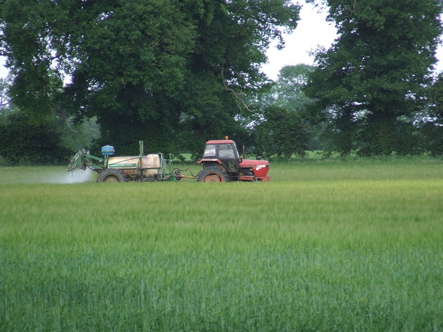
Halfcrown Covert is a picturesque wood located in the county of Norfolk, England. Nestled in the heart of the Norfolk Broads National Park, this enchanting forest spans an area of approximately 200 acres, offering a tranquil retreat for nature enthusiasts and wildlife lovers alike.

The woodland is predominantly composed of a diverse mix of deciduous and coniferous trees, creating a rich tapestry of colors throughout the year. Majestic oak, beech, and birch trees dominate the landscape, their branches intertwining to form a dense canopy that provides welcome shade during the summer months. Interspersed among them are the evergreen pines, adding a touch of timeless beauty to the woodland.

Halfcrown Covert boasts a myriad of walking trails and footpaths that crisscross the forest, allowing visitors to explore its depths and discover its hidden gems. As they wander through the ancient woodland, visitors may stumble upon a babbling brook that meanders through the trees, providing a peaceful soundtrack to their journey.

The wood is also home to a diverse array of wildlife, with numerous species finding refuge within its boundaries. Keen observers may spot roe deer gracefully bounding through the undergrowth or catch a glimpse of a red fox darting between the trees. The birdlife is equally impressive, with the melodic songs of woodpeckers and the occasional sighting of a majestic hawk soaring overhead.

Halfcrown Covert is a true haven for nature lovers, offering a serene and captivating experience that allows visitors to immerse themselves in the beauty of Norfolk's natural landscape.

If you have any feedback on the listing, please let us know in the comments section below.

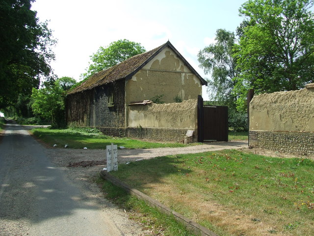
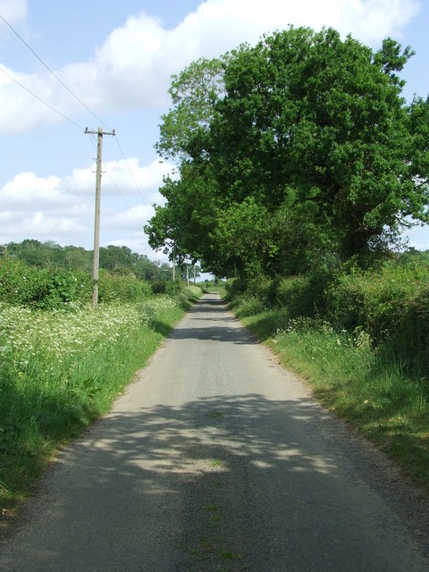
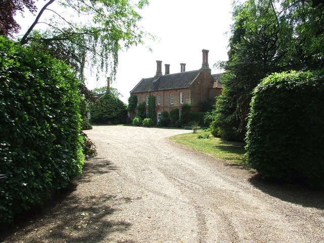
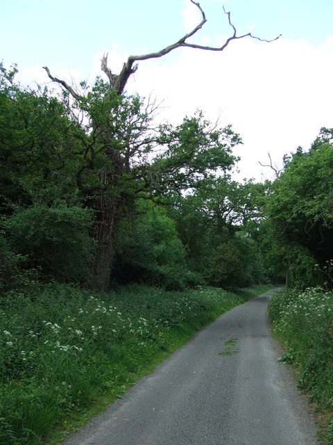
Halfcrown Covert Images

Images are sourced within 2km of 52.550627/0.82435303 or Grid Reference TL9198. Thanks to Geograph Open Source API. All images are credited.

Queues for Fuel, Thetford Road At the time of photographing, motorists are responding by panic buying to a shortage of fuel deliveries to filling stations (caused by a shortage of HGV drivers). Hence long queues have formed at those places that have not yet sold out.
Queues for Fuel, Thetford Road
At the time of photographing, motorists are responding by panic buying to a shortage of fuel deliveries to filling stations (caused by a shortage of HGV drivers). Hence long queues have formed at those places that have not yet sold out.
Study of a Gasoline Station Jet, Watton.

 This photograph is part of a series taken in homage to the American artist Ed Ruscha's 1963 publication of 'Twentysix Gasoline Stations'.
 More properly known as filling stations in the UK, I am attempting to photograph as many as possible to mark the sixty year anniversary.
Study of a Gasoline Station
Jet, Watton. This photograph is part of a series taken in homage to the American artist Ed Ruscha's 1963 publication of 'Twentysix Gasoline Stations'. More properly known as filling stations in the UK, I am attempting to photograph as many as possible to mark the sixty year anniversary.
Village Hall Thompson village hall Thompson, Norfolk.
Village Hall
Thompson village hall Thompson, Norfolk.
Road Sign Finger post at Thompson, Norfolk.
Road Sign
Finger post at Thompson, Norfolk.
Cross Roads Road junction at Thompson, Norfolk.
Cross Roads
Road junction at Thompson, Norfolk.
Griston Road Griston Road looking north east near to Thompson, Norfolk.
Griston Road
Griston Road looking north east near to Thompson, Norfolk.
Footpath Footpath to Thompson church near to Thompson, Norfolk.
Footpath
Footpath to Thompson church near to Thompson, Norfolk.
No More Knotweed Compare this photo of Low Common Farm with Jonathan Billingers of 2007 <a title="https://www.geograph.org.uk/photo/473894" href="https://www.geograph.org.uk/photo/473894">Link</a> and the Knotweed appears to have been eradicated. Near to Thompson, Norfolk.
No More Knotweed
Compare this photo of Low Common Farm with Jonathan Billingers of 2007 Link and the Knotweed appears to have been eradicated. Near to Thompson, Norfolk.
Country Road Country road near to Thompson, Norfolk.
Country Road
Country road near to Thompson, Norfolk.
Silverdell Silverdell house near to Thompson, Norfolk.
Silverdell
Silverdell house near to Thompson, Norfolk.
Road Junction Road junction near to Thompson, Norfolk.
Road Junction
Road junction near to Thompson, Norfolk.
Country Lane Country lane near to Thompson, Norfolk.
Country Lane
Country lane near to Thompson, Norfolk.
Crop Spraying Crop spraying near to Thompson, Norfolk.
Crop Spraying
Crop spraying near to Thompson, Norfolk.
Finger Post Finger post road sign near to Thompson, Norfolk.
Finger Post
Finger post road sign near to Thompson, Norfolk.
Footpath And Road Footpath leading to Merton Church as seen leaving Crows Lane at Merton, Norfolk.
Footpath And Road
Footpath leading to Merton Church as seen leaving Crows Lane at Merton, Norfolk.
Village Sign Village sign on the village green plus shelter and post box at Merton, Norfolk. For close up of the two different sides of the village sign see <a title="https://www.geograph.org.uk/photo/2417140" href="https://www.geograph.org.uk/photo/2417140">Link</a> and <a title="https://www.geograph.org.uk/photo/2417142" href="https://www.geograph.org.uk/photo/2417142">Link</a>
Village Sign
Village sign on the village green plus shelter and post box at Merton, Norfolk. For close up of the two different sides of the village sign see Link and Link
Village Sign One side of the village sign at Merton, Norfolk for other side see <a title="https://www.geograph.org.uk/photo/2417142" href="https://www.geograph.org.uk/photo/2417142">Link</a> and <a title="https://www.geograph.org.uk/photo/2417138" href="https://www.geograph.org.uk/photo/2417138">Link</a>
Village Sign
One side of the village sign at Merton, Norfolk for other side see Link and Link
Village Sign One side of the village sign at Merton, Norfolk for other side see <a title="https://www.geograph.org.uk/photo/2417140" href="https://www.geograph.org.uk/photo/2417140">Link</a> and <a title="https://www.geograph.org.uk/photo/2417138" href="https://www.geograph.org.uk/photo/2417138">Link</a>
Village Sign
One side of the village sign at Merton, Norfolk for other side see Link and Link
Show me another place!

Halfcrown Covert is located at Grid Ref: TL9198 (Lat: 52.550627, Lng: 0.82435303)

Administrative County: Norfolk

District: Breckland

Police Authority: Norfolk

What 3 Words

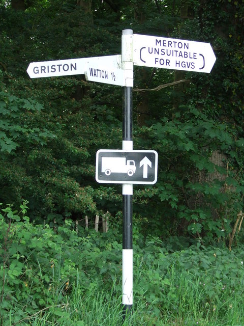
///shears.lanes.waltz. Near Watton, Norfolk

Related Wikis

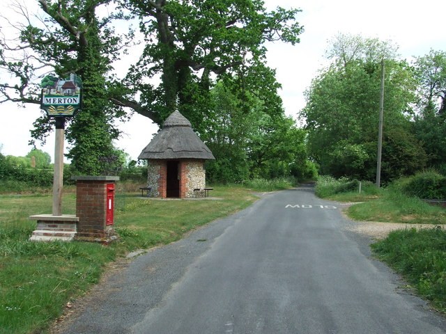
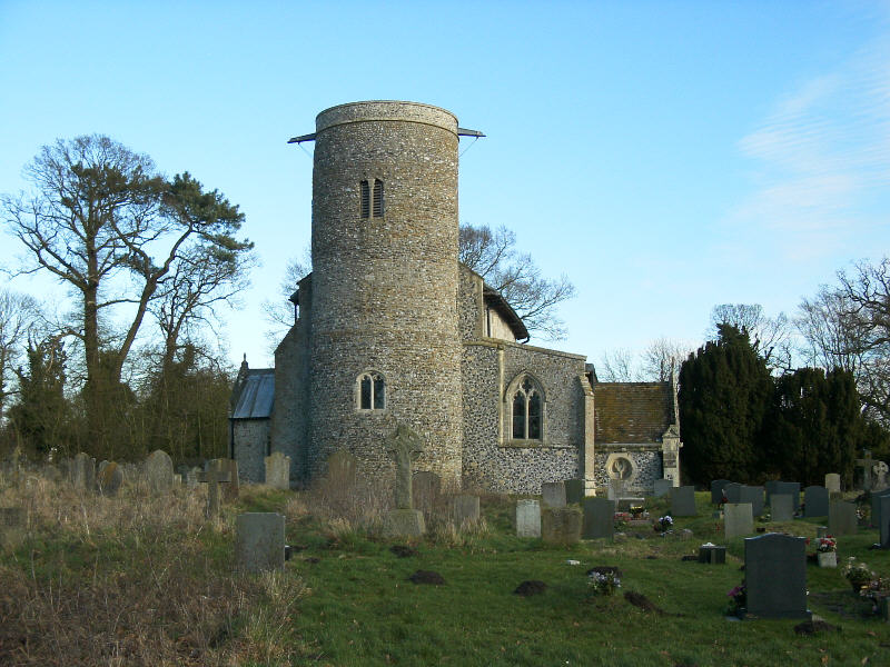
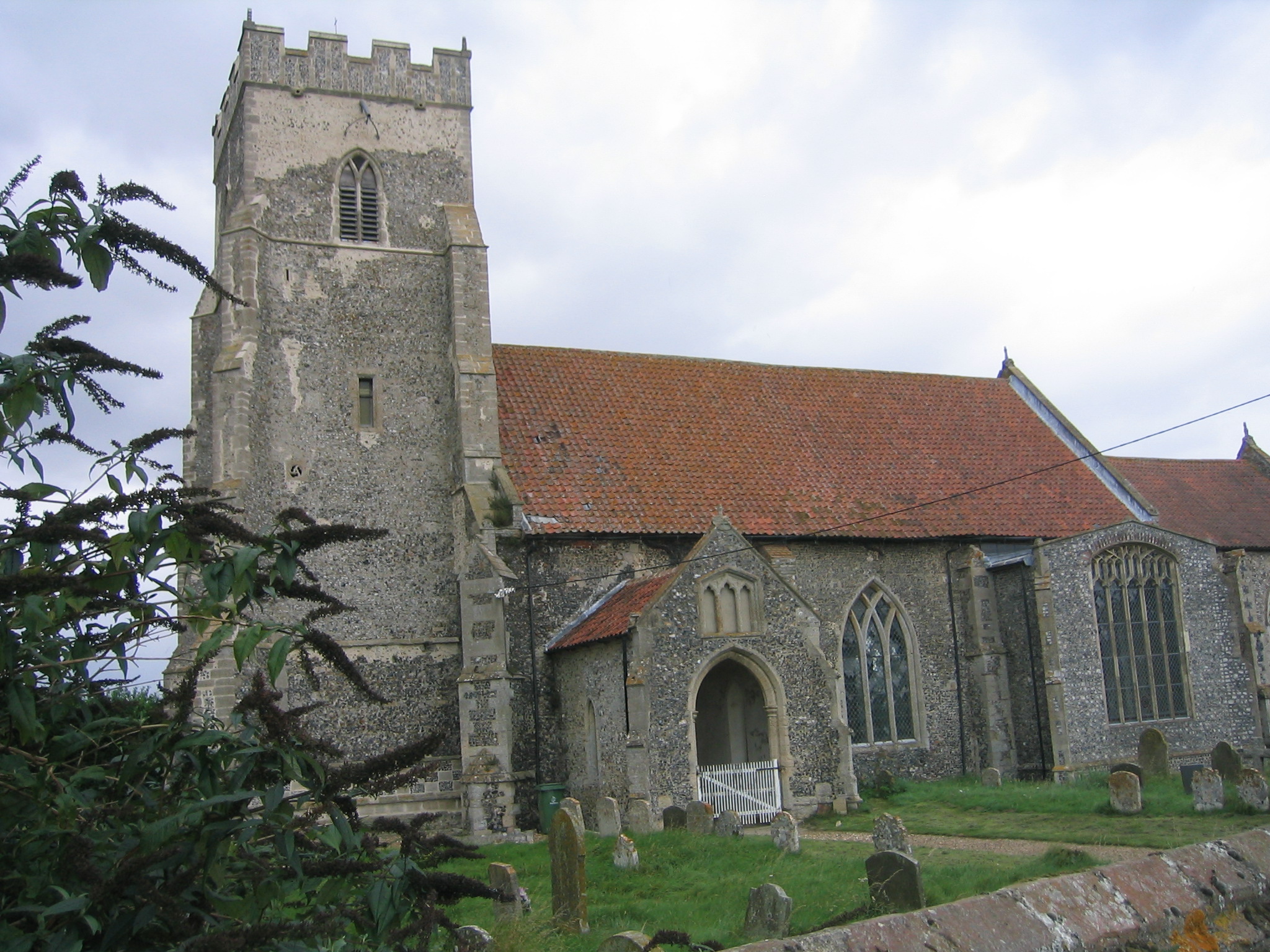
Merton Hall, Norfolk

Merton Hall is a 19th century country house in Merton, Norfolk, England. The extant north-west wing is a Grade II listed building. The 17th-century gatehouse...
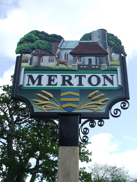
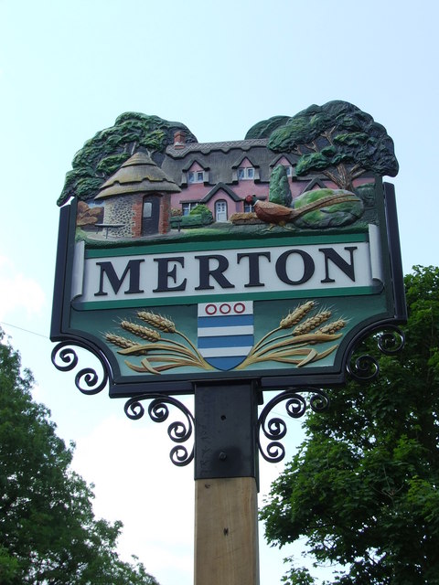
Merton, Norfolk

Merton is a civil parish in the English county of Norfolk. It covers an area of 5.94 km2 (2.29 sq mi) and had a population of 113 in 50 households at the...

Wayland Wood

Wayland Wood is a 31.7-hectare (78-acre) biological Site of Special Scientific Interest near to Watton in Norfolk. It is a Nature Conservation Review...

Wayland Academy, Watton

Wayland Academy (formerly Wayland Community High School) is a small mixed secondary school located in Watton in the English county of Norfolk. It is part...

Thompson, Norfolk

Thompson is a civil parish in the English county of Norfolk. It covers an area of 9.20 km2 (3.55 sq mi) and including Tottington had a population of 341...

Watton railway station

Watton railway station was located in Watton, Norfolk. It was on the Great Eastern Railway line between Swaffham and Thetford, and closed for passengers...

Watton, Norfolk

Watton is a market town in the district of Breckland in the English county of Norfolk, about 25 miles (40 km) west-southwest of Norwich and 15 miles (24...

HM Prison Wayland

HM Prison Wayland is a Category C men's prison, located near the village of Griston in Norfolk, England. The prison is operated by His Majesty's Prison...

Nearby Amenities

Located within 500m of 52.550627,0.82435303
Watton Road, adj
Naptan AtcoCode: 2900M143
Naptan Bearing: N
Naptan BusStopType: CUS
Naptan CommonName: Watton Road
Naptan Indicator: adj
Naptan Landmark: Hall Entrance
Naptan Locality: Merton
Naptan NaptanCode: nfodgjwj
Naptan ShortCommonName: Watton Road
Naptan Street: Watton Road
Naptan Verified: no
Source: naptan_import
Lat/Long: 52.5478413/0.819667
Watton Road, opp
Naptan AtcoCode: 2900M144
Naptan Bearing: S
Naptan BusStopType: CUS
Naptan CommonName: Watton Road
Naptan Indicator: opp
Naptan Landmark: Hall Entrance
Naptan Locality: Merton
Naptan NaptanCode: nfodgjwm
Naptan ShortCommonName: Watton Road
Naptan Street: Watton Road
Naptan Verified: no
Source: naptan_import
Lat/Long: 52.5478572/0.8197565
Post Box
Collection Times: Mo-Fr 17:30; Sa 09:10
Operator: Royal Mail
Post Box Mounting: brick_pillar
Post Box Type: wall
Ref: IP25 3385
Royal Cypher: GR
Royal Cypher Wikidata: Q33102273
Lat/Long: 52.5475987/0.8195927
The data included in this document is from www.openstreetmap.org. The data is made available under ODbL.

Have you been to Halfcrown Covert?

Leave your review of Halfcrown Covert below (or comments, questions and feedback).