Layer Wood

Wood, Forest in Essex Colchester

England

Layer Wood

Pond at Messing Lodge The Lodge itself can be glimpsed through the trees ahead. Taken on Lodge Road.
Pond at Messing Lodge Credit: Trevor Harris

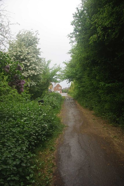
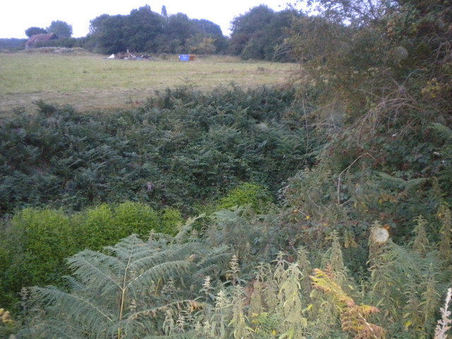
Layer Wood is a charming woodland area located in the county of Essex, England. Situated in the district of Tendring, the wood is part of the larger Great Bentley Forest, a designated Site of Special Scientific Interest (SSSI). Covering an area of approximately 300 hectares, Layer Wood encompasses a diverse range of habitats, including ancient woodland, open meadows, and wetland areas.

The wood is predominantly composed of mixed deciduous trees, such as oak, beech, and birch, which create a beautiful canopy of foliage during the summer months. The woodland floor is adorned with a rich carpet of wildflowers, including bluebells, primroses, and wood anemones, providing a stunning display of color.

Layer Wood is home to a variety of wildlife species, making it a popular destination for nature enthusiasts and birdwatchers. Visitors may spot deer, badgers, foxes, and a wide range of bird species, including woodpeckers, owls, and warblers. The wetland areas within the wood attract an array of water-loving creatures, such as frogs, newts, and dragonflies.

The wood offers several walking trails and footpaths, allowing visitors to explore its natural beauty. These paths wind through the trees, offering glimpses of hidden ponds and tranquil glades. Along the way, informative signs provide interesting facts about the flora and fauna found within the wood.

Layer Wood provides a peaceful and serene environment, offering a wonderful escape from the hustle and bustle of everyday life. Its natural beauty and diverse habitats make it a haven for wildlife and a delight for nature lovers.

If you have any feedback on the listing, please let us know in the comments section below.

Layer Wood Images

Images are sourced within 2km of 51.828669/0.77528344 or Grid Reference TL9118. Thanks to Geograph Open Source API. All images are credited.

Pond at Messing Lodge The Lodge itself can be glimpsed through the trees ahead. Taken on Lodge Road.
Pond at Messing Lodge
The Lodge itself can be glimpsed through the trees ahead. Taken on Lodge Road.
Barn, Messing The barn stands beside the private drive to Bouchiers Hall.
Barn, Messing
The barn stands beside the private drive to Bouchiers Hall.
Layer Marney Tower.  Essex The magnificent Tudor gatehouse of this renowned Essex Mansion, built by Henry, the first Lord Marney, who never lived to see its completion.
Layer Marney Tower. Essex
The magnificent Tudor gatehouse of this renowned Essex Mansion, built by Henry, the first Lord Marney, who never lived to see its completion.
End of the Bridleway This is the end of the bridleway from Tolleshunt Knights
End of the Bridleway
This is the end of the bridleway from Tolleshunt Knights
Giant Sequoioa One of four on the track going down Pods Wood.
Giant Sequoioa
One of four on the track going down Pods Wood.
Bluebells in Pods wood Growing in bettwen the birch trees
Bluebells in Pods wood
Growing in bettwen the birch trees
Horse and cattle grid, Layer Marney
Layer Marney Tower, Essex
Black sheep, Layer Marney
Postbox and signpost, Layer Marney
A very overgrown rampart The rampart is a deep ditch dug by the Romans. It was used to defend the Romans from another army.
A very overgrown rampart
The rampart is a deep ditch dug by the Romans. It was used to defend the Romans from another army.
Wheat field near Layer Lakes In winter this is just grass.
Wheat field near Layer Lakes
In winter this is just grass.
Pathway looking towards the Rampart The rampart is a defensive ditch <a href="https://www.geograph.org.uk/photo/2801512">TL9017 : A very overgrown rampart</a>
Pathway looking towards the Rampart
The rampart is a defensive ditch TL9017 : A very overgrown rampart
Shooting tower
Shooting tower
Interior of the function hall, Layer Marney Tower
The Gatehouse, Layer Marney Tower My second visit in 33 years.  The only difference I can see from my 1979 picture <a href="https://www.geograph.org.uk/photo/2368828">TL9217 : Layer Marney Tower.  Essex</a> is the dense evergreen hedging either side of the path has either been re-planted or heavily cut back.
The Gatehouse, Layer Marney Tower
My second visit in 33 years. The only difference I can see from my 1979 picture TL9217 : Layer Marney Tower. Essex is the dense evergreen hedging either side of the path has either been re-planted or heavily cut back.
Layer Marney Tower,  Essex Taken from the steps in front of the gatehouse,looking the reverse way from <a href="https://www.geograph.org.uk/photo/3086012">TL9217 : The Gatehouse, Layer Marney Tower</a>. The view is now down the path, beyond the wrought iron gates to the buildings of Hall Farm, and on further into the lush Essex countryside.
Layer Marney Tower, Essex
Taken from the steps in front of the gatehouse,looking the reverse way from TL9217 : The Gatehouse, Layer Marney Tower. The view is now down the path, beyond the wrought iron gates to the buildings of Hall Farm, and on further into the lush Essex countryside.
The Gatehouse, Layer Marney Tower Built of the very finest Tudor bricks, this magnificent gatehouse is the tallest gatehouse in England. As was the custom of those that had wealth, it was meant to impress. To show just how much your status was above that of your contemporaries.
The Gatehouse, Layer Marney Tower
Built of the very finest Tudor bricks, this magnificent gatehouse is the tallest gatehouse in England. As was the custom of those that had wealth, it was meant to impress. To show just how much your status was above that of your contemporaries.
Show me another place!

Layer Wood is located at Grid Ref: TL9118 (Lat: 51.828669, Lng: 0.77528344)

Administrative County: Essex

District: Colchester

Police Authority: Essex

What 3 Words

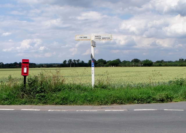
///ally.winner.owned. Near Tiptree, Essex

Nearby Locations

Layer Wood

Related Wikis

Smythe's Green

Smythe's Green is a hamlet on the B1022 road, in the Colchester district, in the county of Essex, England. It is located in between the villages of Tiptree...

RAF Birch

Royal Air Force Birch or more simply RAF Birch is a former Royal Air Force station in Essex, England. The airfield is located 2 mi (3.2 km) northeast...
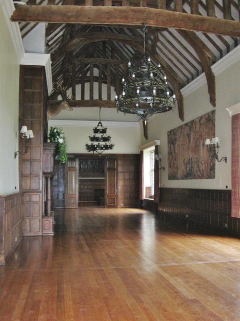
Layer Marney Tower

Layer Marney Tower is an incomplete early Tudor country house, with gardens and parkland, dating from about 1523, in Layer Marney, Essex, England, between...

Messing, Essex

Messing is a village and former civil parish, 14 miles (23 km) north east of Chelmsford, now in the parish of Messing-cum-Inworth, in the Colchester district...

Thurstable School

Thurstable School is a mixed (ages 11–18) secondary academy school, sports college and sixth form situated in the village of Tiptree, Essex, England....

Layer Marney

Layer Marney is a village and civil parish in the City of Colchester district of Essex, England, near Tiptree. Layer Marney has a Tudor palace called Layer...

Tiptree Parish Field

Tiptree Parish Field is a 2.2 hectare Local Nature Reserve in Tiptree in Essex, England. It is owned and managed by Tiptree Parish Council.The site is...

Messing Maypole Mill

Messing Maypole Mill is a grade II listed Tower mill at Tiptree, Essex, England which has been converted to a residence. Prior to boundary changes made...

Nearby Amenities

Located within 500m of 51.828669,0.77528344
Colour: red and white
Description: temporary
Marker: aerial
Material: plastic
Utility: gas
Lat/Long: 51.8325801/0.7775665
The data included in this document is from www.openstreetmap.org. The data is made available under ODbL.

Have you been to Layer Wood?

Leave your review of Layer Wood below (or comments, questions and feedback).