Duke's Shaw
Wood, Forest in Kent Swale
England
Duke's Shaw
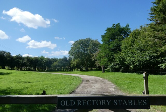
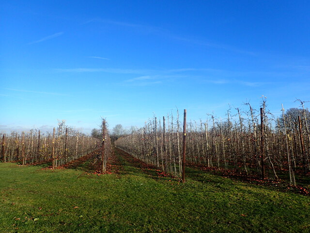
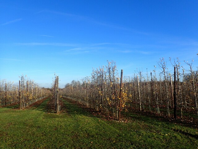
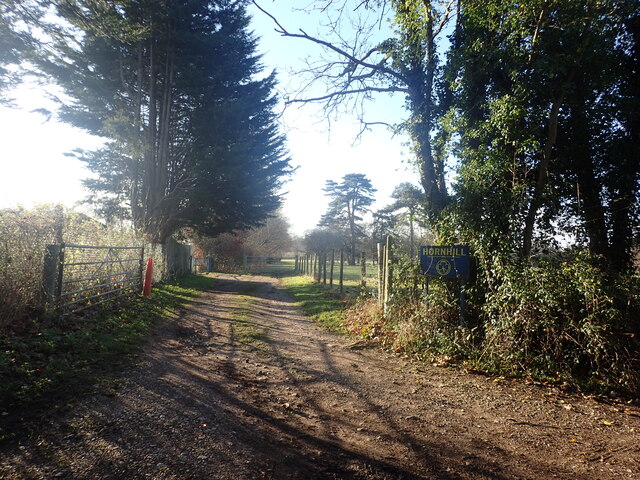
Duke's Shaw, Kent, also known as Wood or Forest Shaw, is a picturesque area located in the county of Kent, England. Situated near the village of Charing, this woodland covers approximately 400 acres of land and is known for its scenic beauty and diverse wildlife.
Duke's Shaw is predominantly composed of broad-leaved trees, such as oak, beech, and chestnut, creating a dense and lush forest. The forest floor is covered with a variety of wildflowers, ferns, and mosses, providing a rich habitat for various species of insects, birds, and small mammals.
The woodland is crisscrossed by numerous walking trails, making it a popular destination for nature enthusiasts and hikers. These trails offer visitors the opportunity to explore the area's natural beauty and observe its wildlife up close. Additionally, there are designated picnic areas and benches scattered throughout the forest, allowing visitors to relax and enjoy the serene surroundings.
Duke's Shaw is not only a haven for nature lovers but also serves as an important ecological site. The woodland is part of a larger network of forests in Kent that contribute to the conservation of biodiversity and the protection of rare and endangered species.
Overall, Duke's Shaw, Kent, is a cherished natural treasure in the region, attracting visitors with its stunning scenery, diverse wildlife, and tranquil atmosphere.
If you have any feedback on the listing, please let us know in the comments section below.
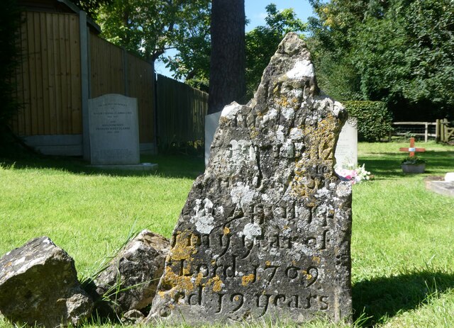
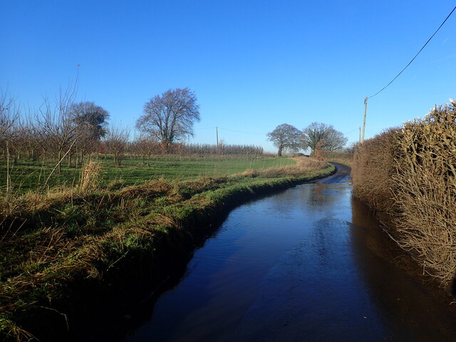
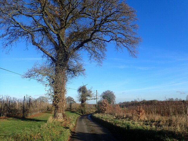
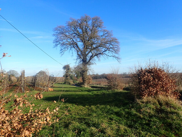
Duke's Shaw Images
Images are sourced within 2km of 51.303979/0.72448968 or Grid Reference TQ9059. Thanks to Geograph Open Source API. All images are credited.
Duke's Shaw is located at Grid Ref: TQ9059 (Lat: 51.303979, Lng: 0.72448968)
Administrative County: Kent
District: Swale
Police Authority: Kent
What 3 Words
///powers.ozone.moves. Near Sittingbourne, Kent
Nearby Locations
Related Wikis
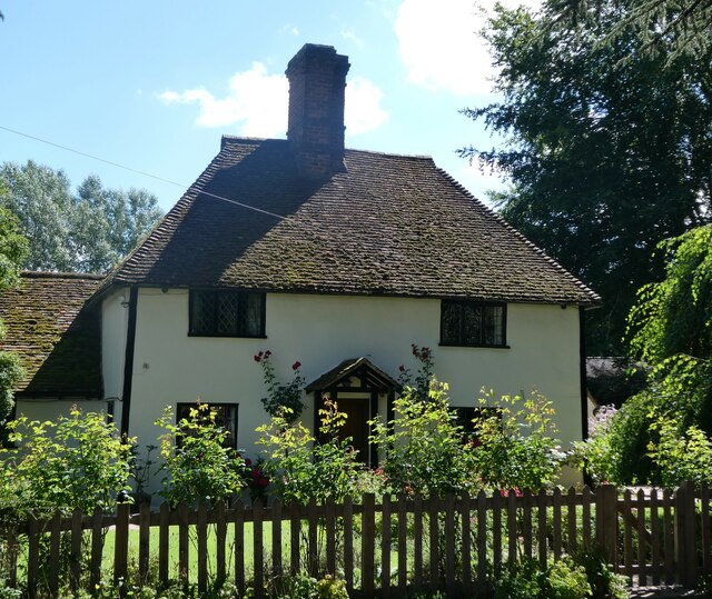
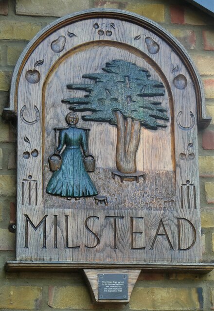
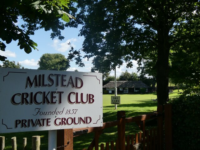
Milstead
Milstead is a village and civil parish in the borough of Swale in Kent, England. It is surrounded by the villages of Frinsted, Wichling, Doddington and...

Bexon
Bexon is a village in Kent, England, situated North of the parishes of Frinsted and Bicknor, just south of the M2 motorway. Bexon is also the name of...

Cromers Wood
Cromers Wood is a 28-hectare (69-acre) nature reserve between Milstead and Sittingbourne in Kent. It is managed by Kent Wildlife Trust.This ancient semi...
Sittingbourne Community F.C.
Sittingbourne Community F.C. is an English football club located in Sittingbourne, in Kent. The club plays in the Kent County Football League Division...
Woodstock Sports F.C.
Woodstock Sports Football Club was an English football team based in Sittingbourne, Kent, last played in the Southern Counties East League. During the...
Dungate
Dungate is a village near the M2 motorway, in the Swale district, in the English county of Kent. It is near the town of Sittingbourne. == References... ==
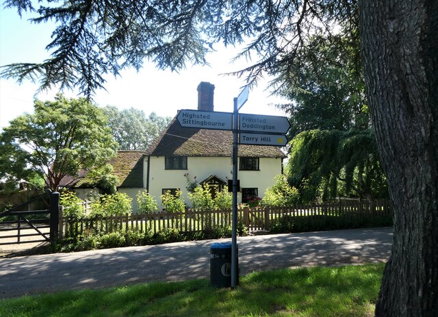
Highsted
Highsted is a village near Sittingbourne in Kent, England. It is in the civil parish of Rodmersham. Most of the village is on Highsted Valley road leading...

Bredgar
Bredgar is a village and civil parish in the Borough of Swale, Kent, England. == Location == The village lies to the southwest of Sittingbourne on the...
Nearby Amenities
Located within 500m of 51.303979,0.72448968Have you been to Duke's Shaw?
Leave your review of Duke's Shaw below (or comments, questions and feedback).