Birch Wood
Wood, Forest in Kent Swale
England
Birch Wood
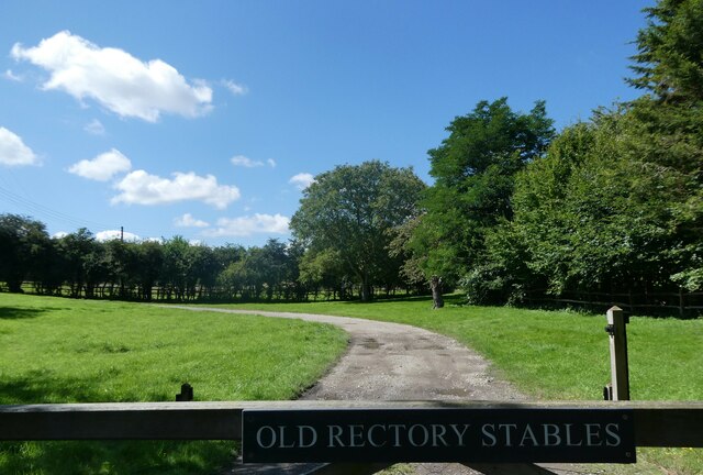
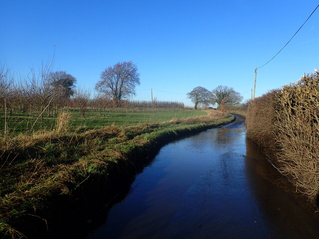
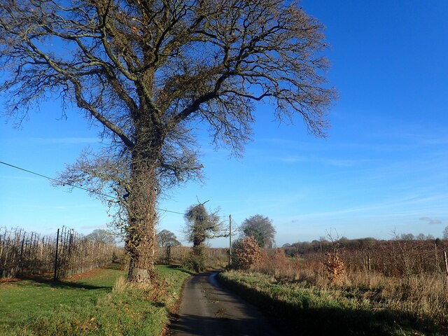
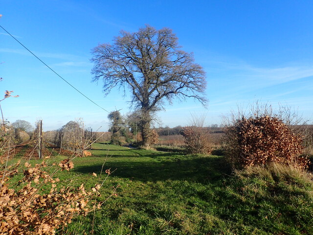
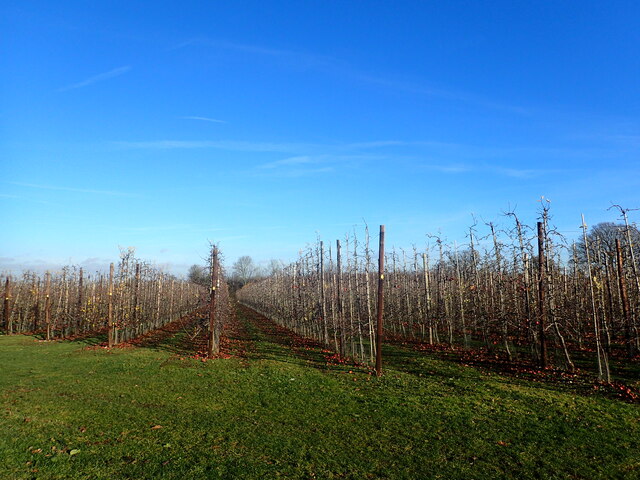
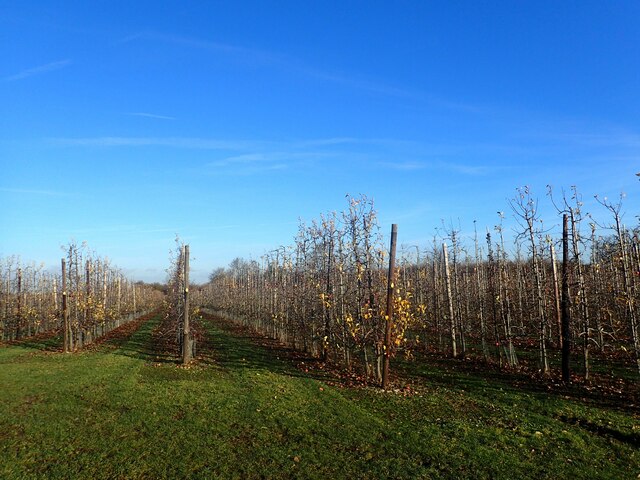
Birch Wood is a picturesque forest located in the county of Kent, England. Covering an area of approximately 200 acres, it is known for its stunning beauty and rich biodiversity. The wood is predominantly made up of birch trees, hence its name, which provide a spectacular display of white bark and delicate leaves during the spring and summer months.
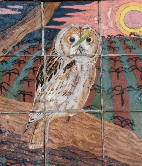
The wood is home to a wide variety of flora and fauna, making it a haven for nature enthusiasts and wildlife lovers. Visitors can expect to see a plethora of bird species, including woodpeckers, owls, and various songbirds. Mammals such as deer, foxes, and squirrels can also be spotted roaming amidst the trees.
Birch Wood offers a range of walking trails and paths, allowing visitors to explore its natural wonders at their own pace. The forest is particularly popular during the autumn season when the vibrant colors of the changing leaves create a stunning backdrop. There are also designated picnic areas and benches scattered throughout the wood, providing a tranquil setting for visitors to enjoy a packed lunch or simply soak in the peaceful ambiance.
In addition to its natural beauty, Birch Wood has a rich history. It has been used for timber production in the past, and remnants of old saw pits and charcoal platforms can still be found within the forest. The wood has also been a source of inspiration for artists and writers, with many finding solace and creativity amidst its serene atmosphere.
Overall, Birch Wood is a delightful destination for nature lovers, offering a harmonious blend of captivating scenery, diverse wildlife, and a touch of history.
If you have any feedback on the listing, please let us know in the comments section below.
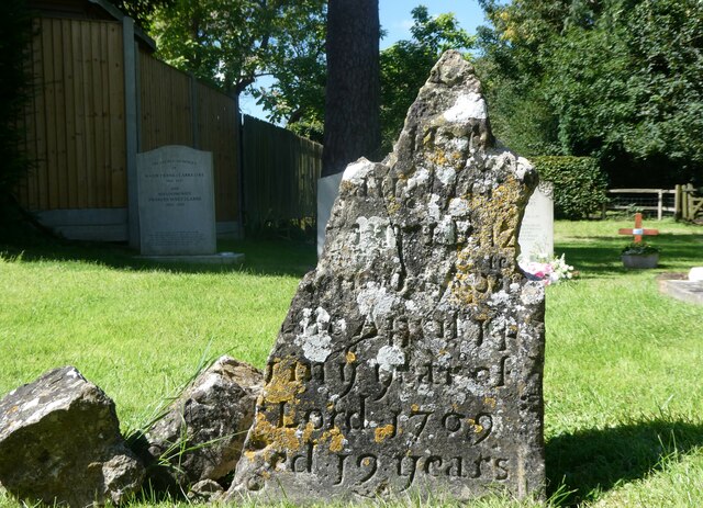
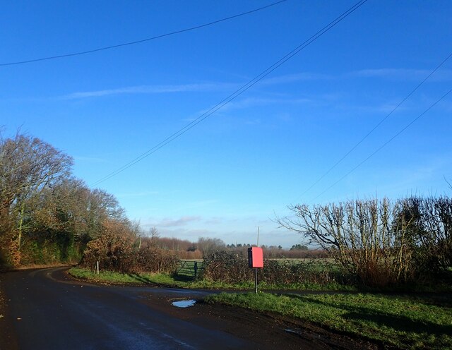
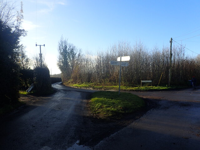
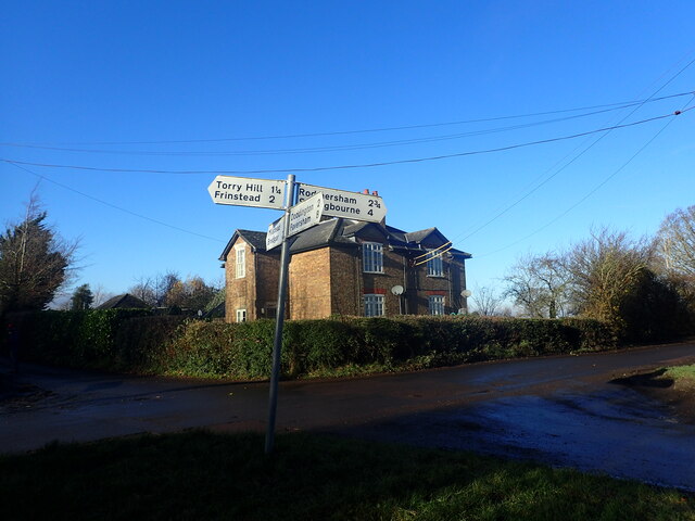
Birch Wood Images
Images are sourced within 2km of 51.303423/0.73254902 or Grid Reference TQ9059. Thanks to Geograph Open Source API. All images are credited.
Birch Wood is located at Grid Ref: TQ9059 (Lat: 51.303423, Lng: 0.73254902)
Administrative County: Kent
District: Swale
Police Authority: Kent
What 3 Words
///split.loses.then. Near Sittingbourne, Kent
Nearby Locations
Related Wikis
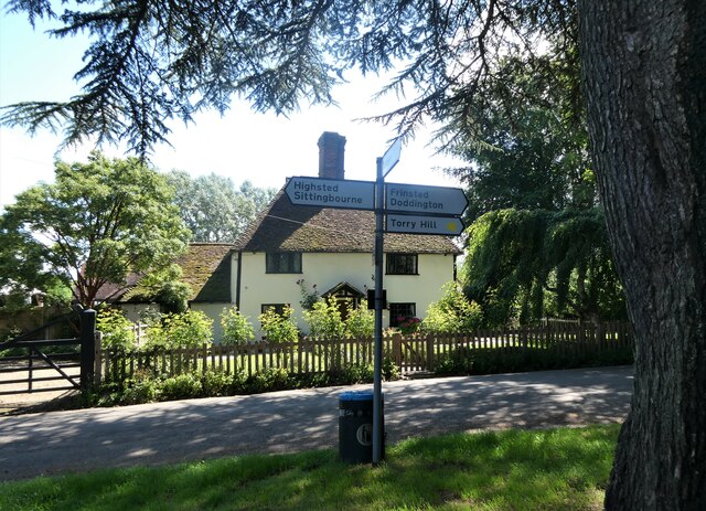
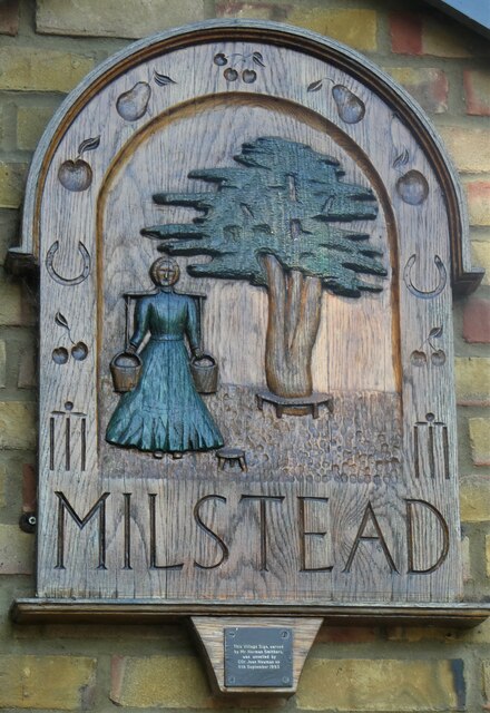
Milstead
Milstead is a village and civil parish in the borough of Swale in Kent, England. It is surrounded by the villages of Frinsted, Wichling, Doddington and...

Cromers Wood
Cromers Wood is a 28-hectare (69-acre) nature reserve between Milstead and Sittingbourne in Kent. It is managed by Kent Wildlife Trust.This ancient semi...

Dungate
Dungate is a village near the M2 motorway, in the Swale district, in the English county of Kent. It is near the town of Sittingbourne. == References... ==
Sittingbourne Community F.C.
Sittingbourne Community F.C. is an English football club located in Sittingbourne, in Kent. The club plays in the Kent County Football League Division...
Woodstock Sports F.C.
Woodstock Sports Football Club was an English football team based in Sittingbourne, Kent, last played in the Southern Counties East League. During the...
Bexon
Bexon is a village in Kent, England, situated North of the parishes of Frinsted and Bicknor, just south of the M2 motorway. Bexon is also the name of...
Highsted
Highsted is a village near Sittingbourne in Kent, England. It is in the civil parish of Rodmersham. Most of the village is on Highsted Valley road leading...
Newbury, Kent
Newbury is a hamlet near the village of Erriottwood, in the Swale district, in the English county of Kent. It is near the town of Sittingbourne. ��2�...
Nearby Amenities
Located within 500m of 51.303423,0.73254902Have you been to Birch Wood?
Leave your review of Birch Wood below (or comments, questions and feedback).