Milstead Wood
Wood, Forest in Kent Swale
England
Milstead Wood
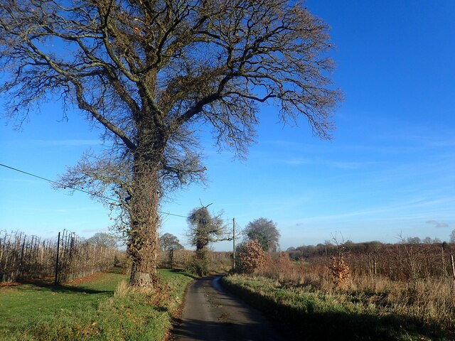
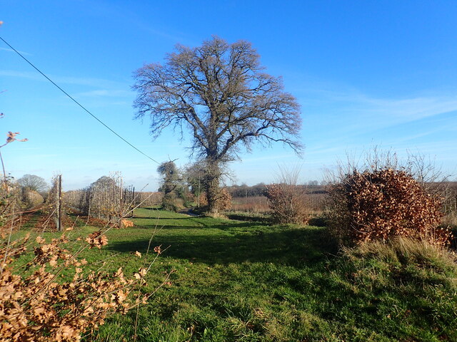
Milstead Wood is a charming woodland located in the county of Kent, England. Spanning an area of approximately 50 acres, this forested area offers visitors a serene and tranquil environment to explore and appreciate the natural beauty of the region.
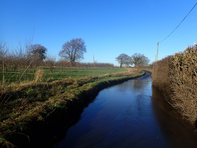
The wood is predominantly made up of deciduous trees, such as oak, beech, and ash, which provide a stunning display of colors during the autumn months. The forest floor is covered with a rich carpet of wildflowers, including bluebells and wood anemones, creating a picturesque scene.
Milstead Wood is home to a diverse range of wildlife, making it an ideal location for nature enthusiasts and wildlife lovers. Visitors may catch a glimpse of various bird species, including woodpeckers, owls, and thrushes, as well as small mammals such as rabbits, squirrels, and foxes. The wood is also known for its population of butterflies and other insects, adding to its ecological significance.
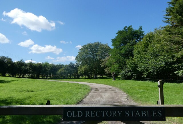
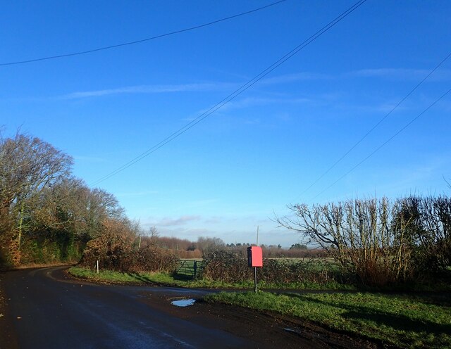
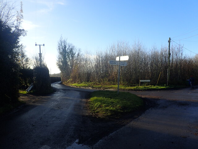
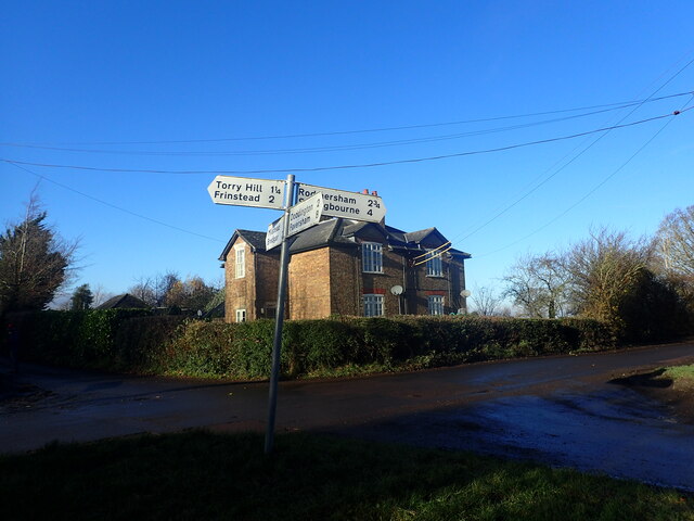
A network of well-maintained paths and trails wind through Milstead Wood, allowing visitors to explore the area on foot. There are also designated picnic areas and benches for those who wish to relax and enjoy the peaceful surroundings. The wood is open year-round, and admission is free, making it a popular destination for families, hikers, and nature enthusiasts alike.
In summary, Milstead Wood in Kent offers a picturesque and tranquil woodland experience. With its diverse range of flora and fauna, well-maintained trails, and natural beauty, it is a must-visit destination for anyone seeking a peaceful retreat in nature.
If you have any feedback on the listing, please let us know in the comments section below.
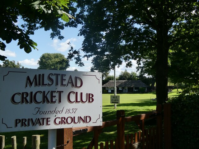
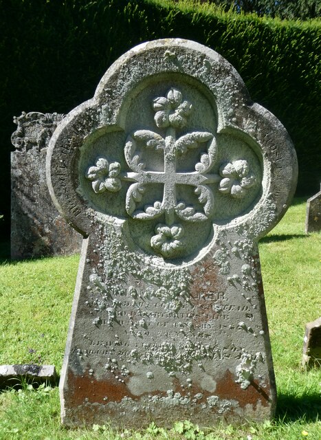
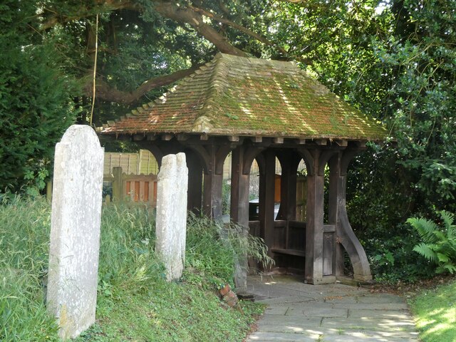
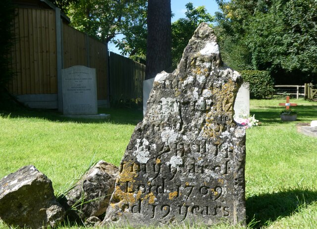
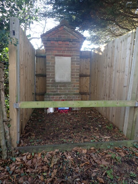
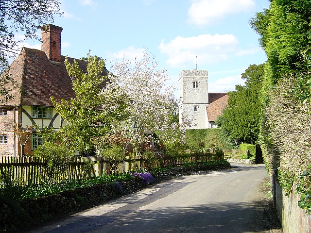
Milstead Wood Images
Images are sourced within 2km of 51.300249/0.72864456 or Grid Reference TQ9059. Thanks to Geograph Open Source API. All images are credited.

Milstead Wood is located at Grid Ref: TQ9059 (Lat: 51.300249, Lng: 0.72864456)
Administrative County: Kent
District: Swale
Police Authority: Kent
What 3 Words
///purely.sleep.scenes. Near Sittingbourne, Kent
Nearby Locations
Related Wikis
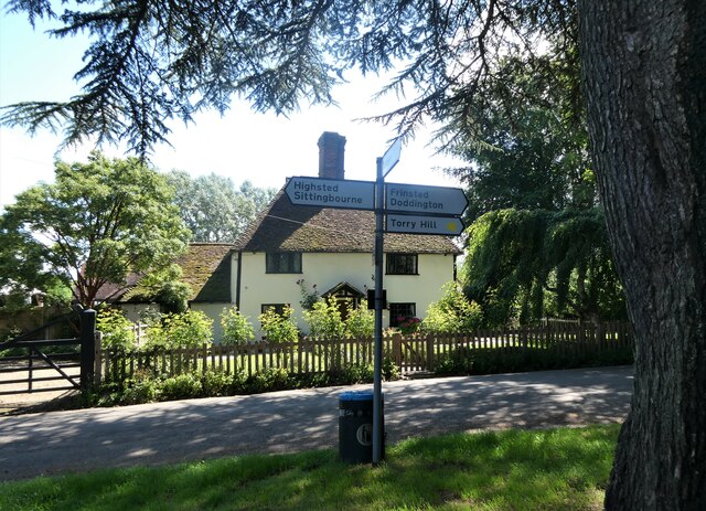
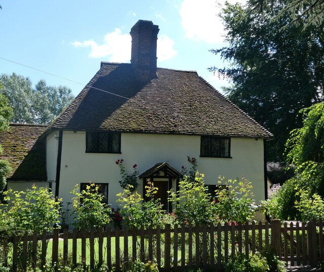
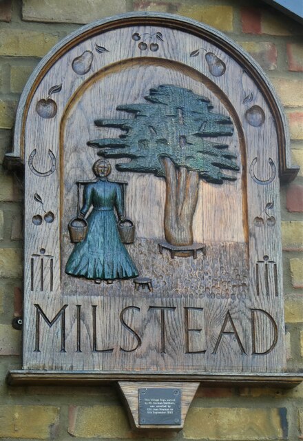
Milstead
Milstead is a village and civil parish in the borough of Swale in Kent, England. It is surrounded by the villages of Frinsted, Wichling, Doddington and...

Cromers Wood
Cromers Wood is a 28-hectare (69-acre) nature reserve between Milstead and Sittingbourne in Kent. It is managed by Kent Wildlife Trust.This ancient semi...

Bexon
Bexon is a village in Kent, England, situated North of the parishes of Frinsted and Bicknor, just south of the M2 motorway. Bexon is also the name of...
Dungate
Dungate is a village near the M2 motorway, in the Swale district, in the English county of Kent. It is near the town of Sittingbourne. == References... ==
Sittingbourne Community F.C.
Sittingbourne Community F.C. is an English football club located in Sittingbourne, in Kent. The club plays in the Kent County Football League Division...
Woodstock Sports F.C.
Woodstock Sports Football Club was an English football team based in Sittingbourne, Kent, last played in the Southern Counties East League. During the...
Highsted
Highsted is a village near Sittingbourne in Kent, England. It is in the civil parish of Rodmersham. Most of the village is on Highsted Valley road leading...
Newbury, Kent
Newbury is a hamlet near the village of Erriottwood, in the Swale district, in the English county of Kent. It is near the town of Sittingbourne. ��2�...
Nearby Amenities
Located within 500m of 51.300249,0.72864456Have you been to Milstead Wood?
Leave your review of Milstead Wood below (or comments, questions and feedback).