Turnpike Wood
Wood, Forest in Sussex Rother
England
Turnpike Wood
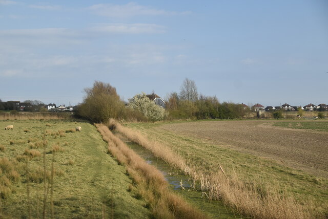
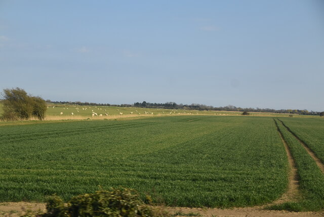
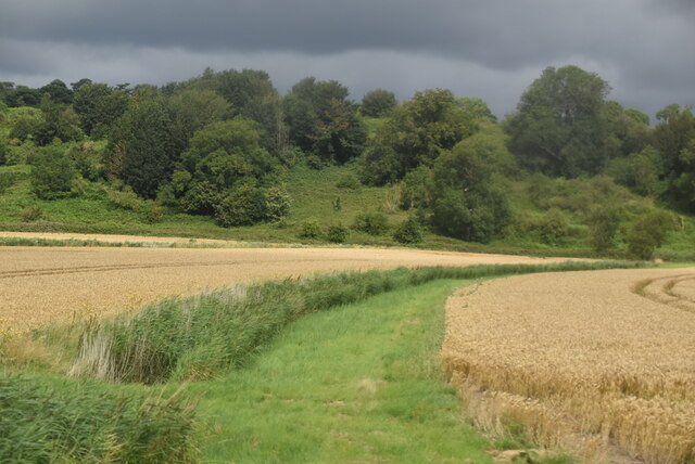
Turnpike Wood is a picturesque woodland located in Sussex, England. Covering an area of approximately 100 acres, this forested area is renowned for its natural beauty and biodiversity. The woodland is situated near the village of Turnpike, hence its name, and is easily accessible by car or foot.
Once inside Turnpike Wood, visitors are greeted by a dense canopy of tall, mature trees, including oak, ash, and beech. These towering giants provide shelter and a haven for a diverse range of wildlife species. The forest floor is adorned with a rich carpet of mosses, ferns, and wildflowers, creating a vibrant and enchanting atmosphere.
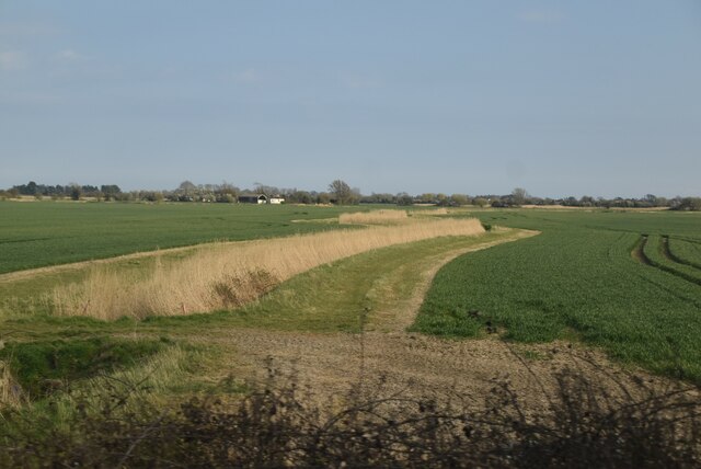
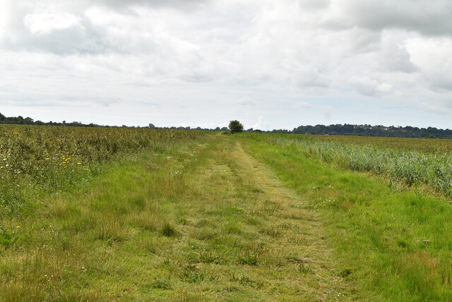
The woodland is crisscrossed with a network of well-maintained footpaths, making it an ideal destination for nature enthusiasts and walkers. These paths wind through the forest, taking visitors on a journey through the changing landscapes and allowing them to discover hidden gems such as small streams and secluded clearings.
Turnpike Wood is also home to a myriad of animal species, including deer, foxes, badgers, and an abundance of birdlife. Birdwatchers can delight in spotting species such as woodpeckers, owls, and various songbirds.
Visiting Turnpike Wood offers an opportunity to immerse oneself in nature and escape the hustle and bustle of everyday life. The peaceful ambiance and stunning scenery make it an idyllic location for individuals seeking solace in the great outdoors.
If you have any feedback on the listing, please let us know in the comments section below.
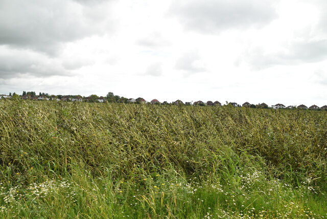
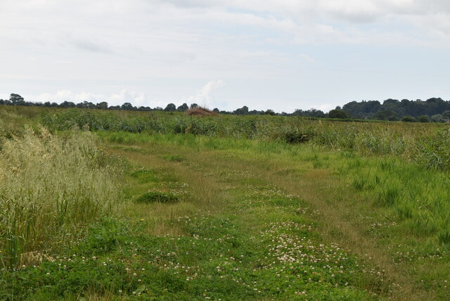
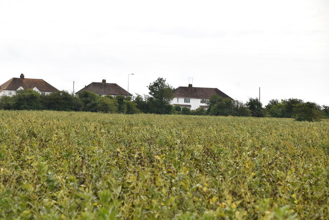
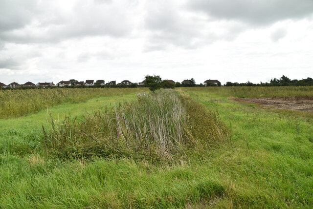
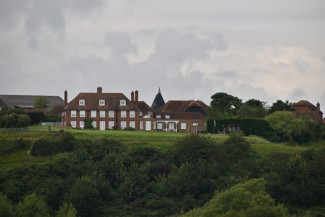
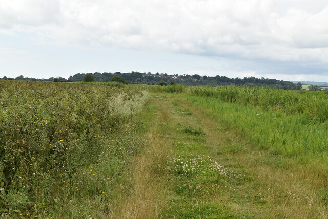
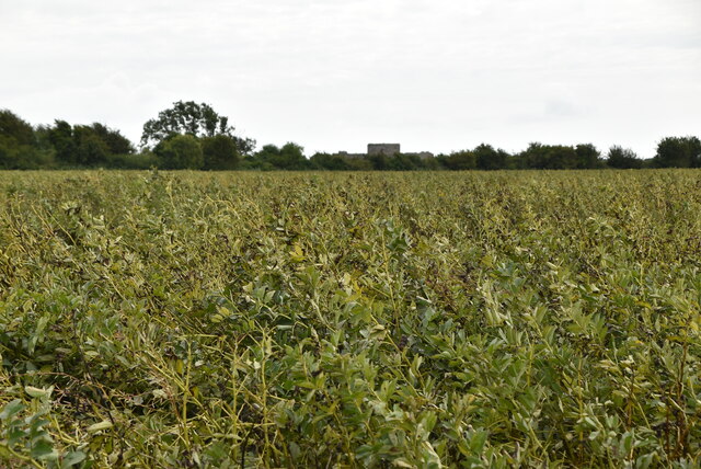
Turnpike Wood Images
Images are sourced within 2km of 50.944394/0.70350464 or Grid Reference TQ9019. Thanks to Geograph Open Source API. All images are credited.


Turnpike Wood is located at Grid Ref: TQ9019 (Lat: 50.944394, Lng: 0.70350464)
Administrative County: East Sussex
District: Rother
Police Authority: Sussex
What 3 Words
///director.bounding.labs. Near Rye, East Sussex
Nearby Locations
Related Wikis
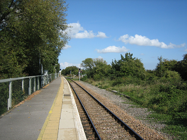
Winchelsea railway station
Winchelsea railway station is a railway station in East Sussex, England. It is about 0.62 miles (1 km) from Winchelsea and is actually in the neighbouring...
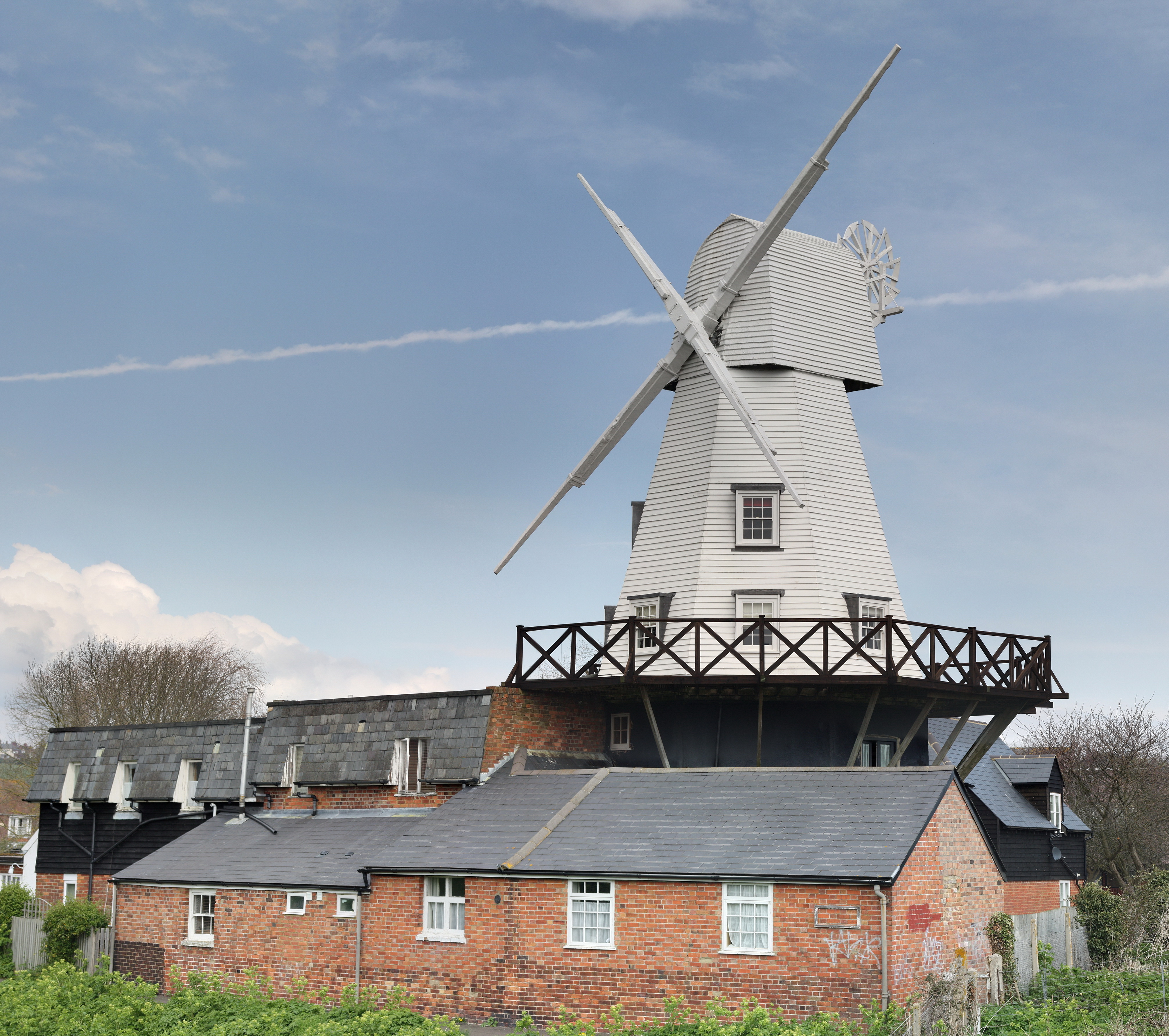
Gibbet Mill, Rye
Gibbet Mill, Tillingham Mill, Barry's Mill or New Mill is a grade II listed cosmetically reconstructed smock mill at Rye, East Sussex, England. Today it...

Rye, East Sussex
Rye is a town and civil parish in the Rother district of East Sussex, England, two miles (three kilometres) from the sea at the confluence of three rivers...

Blackfriars, Winchelsea
Blackfriars, Winchelsea, was a Dominican priory in Winchelsea, East Sussex, England. The friary was established in 1318 by Edward II on the outskirts of...
Rye Pottery
The Rye Pottery is a pottery in Rye, East Sussex, England, known as the Cadborough Pottery or "Rye Pottery" from its beginnings in c. 1834 to 1876, and...
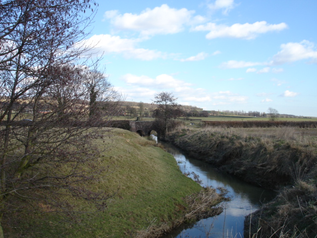
River Tillingham
The River Tillingham flows through the English county of East Sussex. It meets the River Brede and the eastern River Rother near the town of Rye. A navigable...

Rye Particular Baptist Chapel
Rye Particular Baptist Chapel is a former Strict Baptist place of worship in Rye, an ancient hilltop town in Rother, one of six local government districts...

St Leonard's Mill, Winchelsea
St Leonard's mill was a post mill at Winchelsea, East Sussex, England which was blown down in the Great Storm of 1987. == History == St Leonard's Mill...
Nearby Amenities
Located within 500m of 50.944394,0.70350464Have you been to Turnpike Wood?
Leave your review of Turnpike Wood below (or comments, questions and feedback).