Barnham Carr

Wood, Forest in Suffolk West Suffolk

England

Barnham Carr

Euston watermill on the Black Bourn Disused watermill. Late C18/early C19. In red brick with black glazed pantiled roof: designed to look like a church, with a small crenellated tower. Pointed Gothic windows to top stage. The machinery is complete. The waterwheel drove a single pair of stones and also a reciprocating pump for raising water up to a tank in the tower, which provided the water supply for Euston Hall. A watermill was included in the estate as purchased by Lord Arlington in the 1660's: this is presumably a rebuilding on the same site. Copied from Historic England website <span class="nowrap"><a title="https://historicengland.org.uk/listing/the-list/list-entry/1031255" rel="nofollow ugc noopener" href="https://historicengland.org.uk/listing/the-list/list-entry/1031255">Link</a><img style="margin-left:2px;" alt="External link" title="External link - shift click to open in new window" src="https://s1.geograph.org.uk/img/external.png" width="10" height="10"/></span>
Euston watermill on the Black Bourn Credit: Adrian S Pye

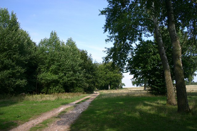
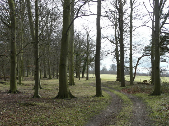
Barnham Carr is a picturesque woodland area located in the county of Suffolk, England. Situated in the heart of the countryside, this woodland paradise offers a serene and tranquil escape for nature lovers and outdoor enthusiasts.

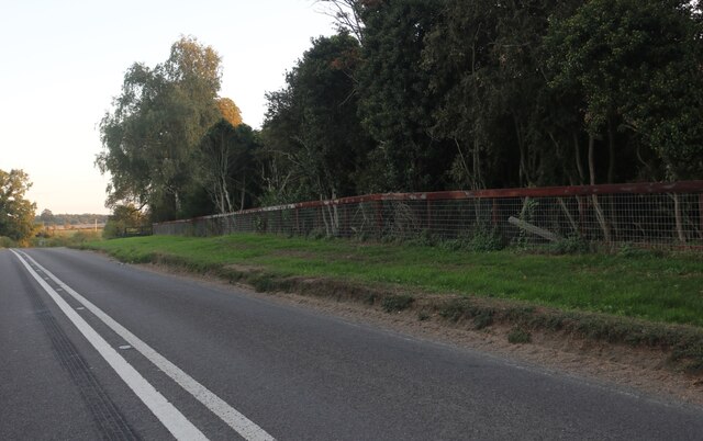
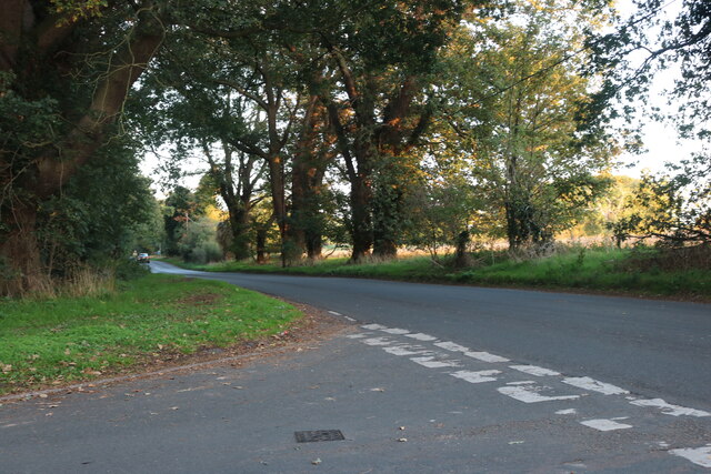
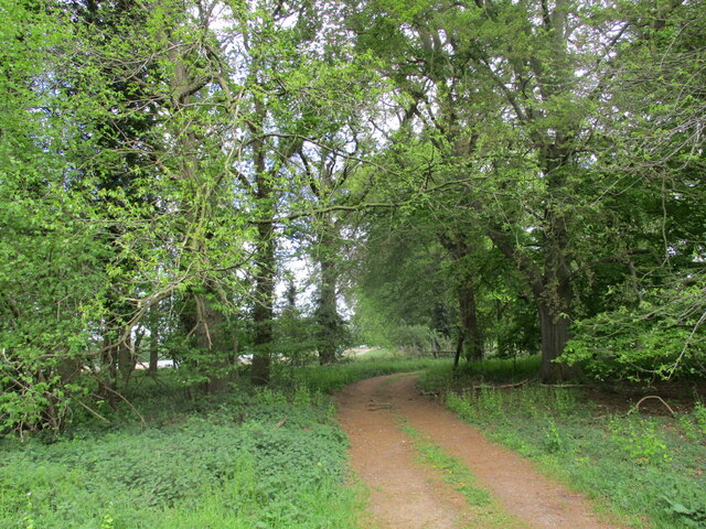
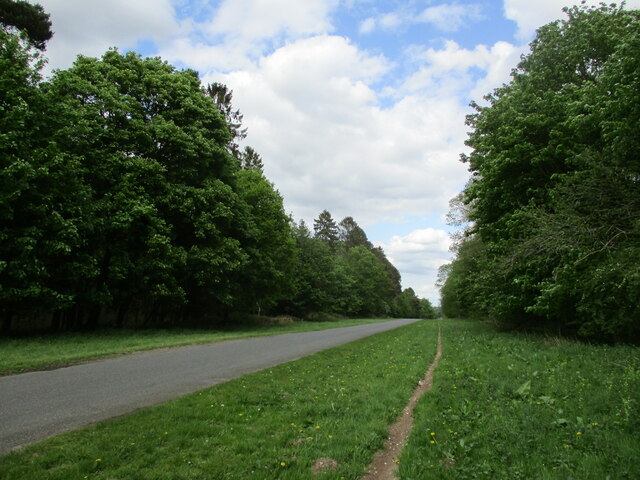
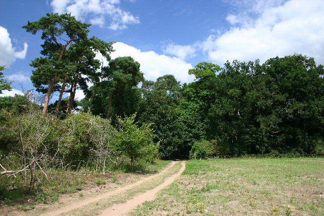
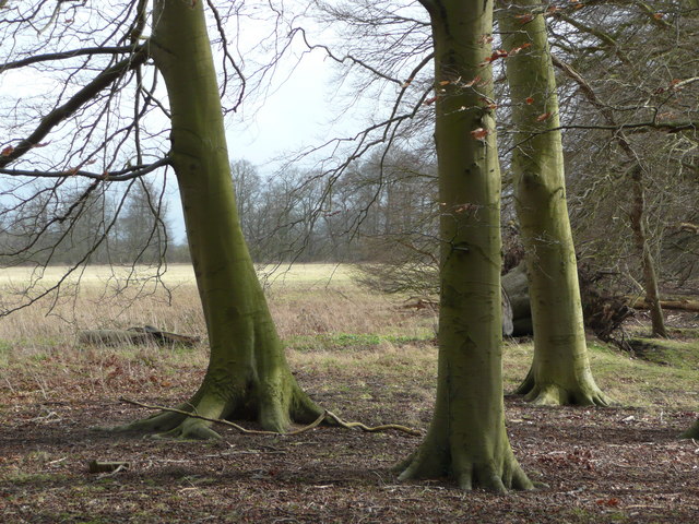
Covering an expansive area, Barnham Carr is home to a diverse range of flora and fauna, making it a haven for wildlife. The woodland is predominantly composed of towering oak and beech trees, which create a dense canopy, providing shade and shelter. The forest floor is blanketed with a myriad of plant species, including bluebells, wild garlic, and ferns, adding to the enchanting atmosphere.

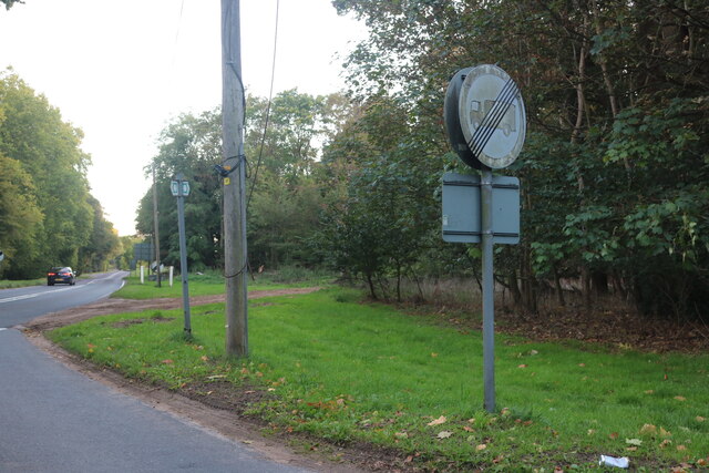
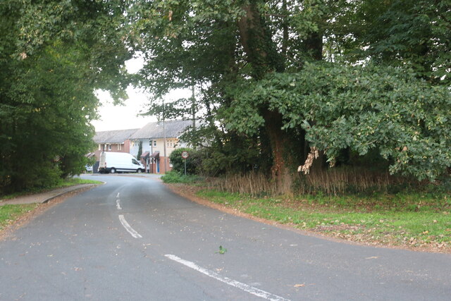
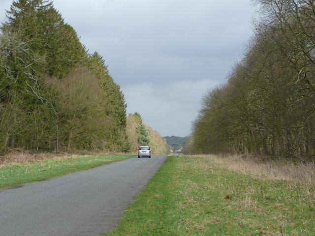
Visitors to Barnham Carr can explore the various walking trails that meander through the woods, offering stunning views and an opportunity to immerse themselves in nature. The trails are well-maintained and suitable for all ages and abilities, making it an ideal destination for families.

The woodland is also home to a wide array of wildlife, including deer, foxes, badgers, and a variety of bird species. Birdwatchers will delight in the chance to spot woodpeckers, owls, and other woodland birds that call Barnham Carr their home.

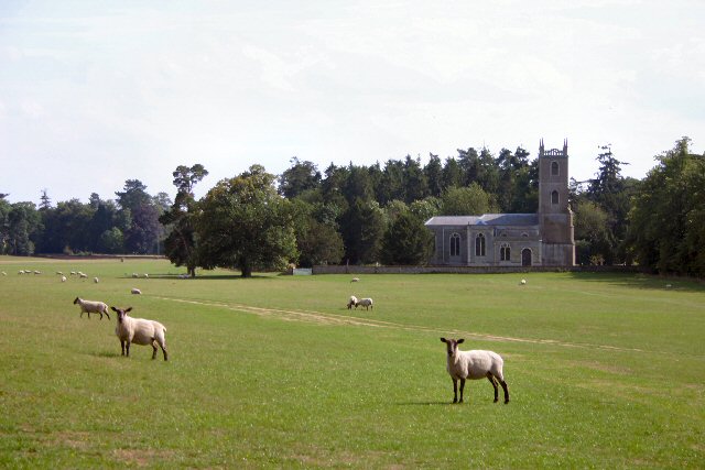
Aside from its natural beauty, Barnham Carr holds historical significance. The woods were once part of a medieval hunting ground and remnants of ancient structures can still be found scattered throughout the area, adding an air of mystique and intrigue.

Overall, Barnham Carr, Suffolk, is a captivating wood and forest region that offers a peaceful retreat for those seeking solace in nature. With its stunning scenery, diverse wildlife, and rich history, this woodland sanctuary is a must-visit destination for nature enthusiasts.

If you have any feedback on the listing, please let us know in the comments section below.
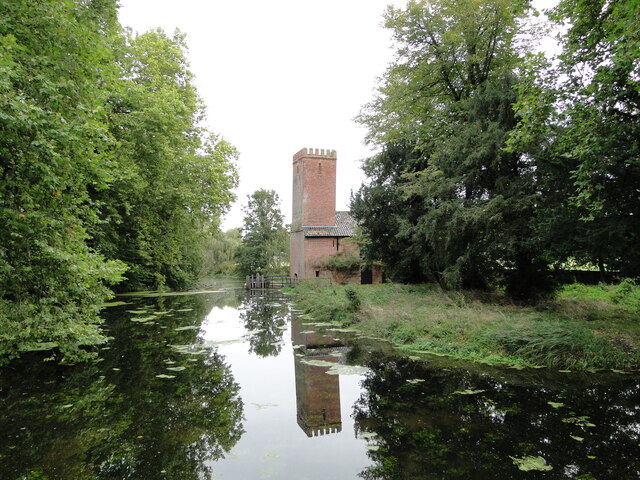
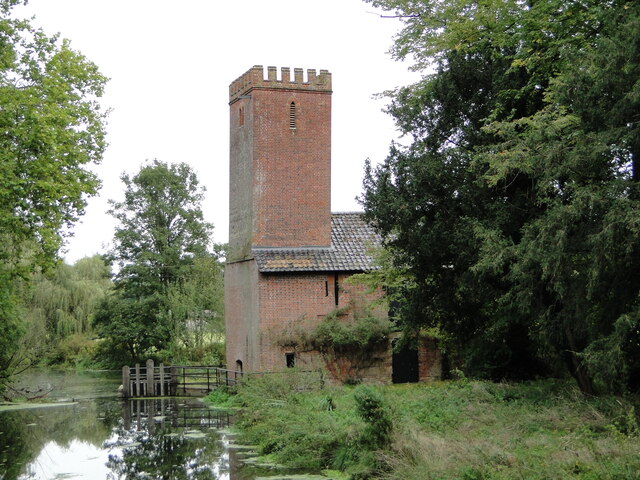
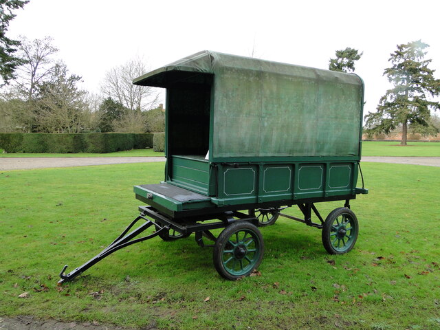
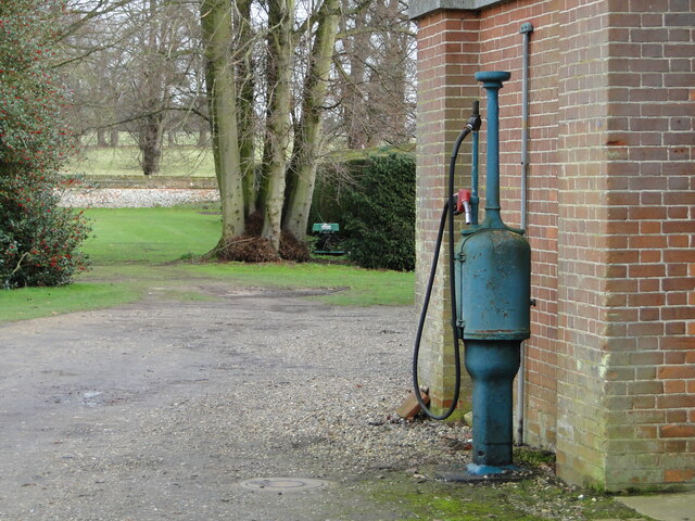
Barnham Carr Images

Images are sourced within 2km of 52.379525/0.77297492 or Grid Reference TL8879. Thanks to Geograph Open Source API. All images are credited.

Euston watermill on the Black Bourn Disused watermill. Late C18/early C19. In red brick with black glazed pantiled roof: designed to look like a church, with a small crenellated tower. Pointed Gothic windows to top stage. The machinery is complete. The waterwheel drove a single pair of stones and also a reciprocating pump for raising water up to a tank in the tower, which provided the water supply for Euston Hall. A watermill was included in the estate as purchased by Lord Arlington in the 1660's: this is presumably a rebuilding on the same site. Copied from Historic England website <span class="nowrap"><a title="https://historicengland.org.uk/listing/the-list/list-entry/1031255" rel="nofollow ugc noopener" href="https://historicengland.org.uk/listing/the-list/list-entry/1031255">Link</a><img style="margin-left:2px;" alt="External link" title="External link - shift click to open in new window" src="https://s1.geograph.org.uk/img/external.png" width="10" height="10"/></span>
Euston watermill on the Black Bourn
Disused watermill. Late C18/early C19. In red brick with black glazed pantiled roof: designed to look like a church, with a small crenellated tower. Pointed Gothic windows to top stage. The machinery is complete. The waterwheel drove a single pair of stones and also a reciprocating pump for raising water up to a tank in the tower, which provided the water supply for Euston Hall. A watermill was included in the estate as purchased by Lord Arlington in the 1660's: this is presumably a rebuilding on the same site. Copied from Historic England website LinkExternal link
Euston watermill on the Black Bourn Disused watermill. Late C18/early C19. In red brick with black glazed pantiled roof: designed to look like a church, with a small crenellated tower. Pointed Gothic windows to top stage. The machinery is complete. The waterwheel drove a single pair of stones and also a reciprocating pump for raising water up to a tank in the tower, which provided the water supply for Euston Hall. A watermill was included in the estate as purchased by Lord Arlington in the 1660's: this is presumably a rebuilding on the same site. Copied from Historic England website  <span class="nowrap"><a title="https://historicengland.org.uk/listing/the-list/list-entry/1031255" rel="nofollow ugc noopener" href="https://historicengland.org.uk/listing/the-list/list-entry/1031255">Link</a><img style="margin-left:2px;" alt="External link" title="External link - shift click to open in new window" src="https://s1.geograph.org.uk/img/external.png" width="10" height="10"/></span>
Euston watermill on the Black Bourn
Disused watermill. Late C18/early C19. In red brick with black glazed pantiled roof: designed to look like a church, with a small crenellated tower. Pointed Gothic windows to top stage. The machinery is complete. The waterwheel drove a single pair of stones and also a reciprocating pump for raising water up to a tank in the tower, which provided the water supply for Euston Hall. A watermill was included in the estate as purchased by Lord Arlington in the 1660's: this is presumably a rebuilding on the same site. Copied from Historic England website LinkExternal link
Vintage covered cart Of the type used as an ambulance in WW1
Vintage covered cart
Of the type used as an ambulance in WW1
Old fuel pump still in use
Thetford Road, Euston
Barnham Road at the junction of Thetford Road
Salmond Drive, Barnham
Barnham Road at the junction of Salmond Drive
Track into First Cross Belt
Rushford Road Looking towards Rushford.
Rushford Road
Looking towards Rushford.
Icknield Way path The path passes through the Rushfordroad Belts, before reaching the Rushford Road itself.
Icknield Way path
The path passes through the Rushfordroad Belts, before reaching the Rushford Road itself.
Euston Church St Genevieve church sits on private land within Euston Park, yet it is still the parish church for the village of Euston.  Whilst its exterior is conventional, its interior is anything but.  Designed in the late 17th century baroque style, it has been sensitively restored and maintained.
Euston Church
St Genevieve church sits on private land within Euston Park, yet it is still the parish church for the village of Euston. Whilst its exterior is conventional, its interior is anything but. Designed in the late 17th century baroque style, it has been sensitively restored and maintained.
The Temple, Euston Park The Temple was built in 1746 as a banqueting hall by the architect William Kent, for Lord Arlington, then owner of the Euston estate.  It is now a private dwelling.
The Temple, Euston Park
The Temple was built in 1746 as a banqueting hall by the architect William Kent, for Lord Arlington, then owner of the Euston estate. It is now a private dwelling.
Open barn and tractor, Euston Estate This barn is situated on the northern fringe of the estate.
Open barn and tractor, Euston Estate
This barn is situated on the northern fringe of the estate.
Long Spinney, Euston Park This track, a seasonal permissive path, skirts the western fringe of Euston Estate.
Long Spinney, Euston Park
This track, a seasonal permissive path, skirts the western fringe of Euston Estate.
Icknield Way Threading through the First Cross Belt near Euston, Suffolk.
Icknield Way
Threading through the First Cross Belt near Euston, Suffolk.
Beech trunks By the First Cross Belt and Rushford Road.
Beech trunks
By the First Cross Belt and Rushford Road.
Rushford Road, Euston, Suffolk A dead-straight section bordered by mixed woodland; very East Anglian.
Rushford Road, Euston, Suffolk
A dead-straight section bordered by mixed woodland; very East Anglian.
Show me another place!

Barnham Carr is located at Grid Ref: TL8879 (Lat: 52.379525, Lng: 0.77297492)

Administrative County: Suffolk

District: West Suffolk

Police Authority: Suffolk

What 3 Words

///efficient.carriage.clocked. Near Thetford, Norfolk

Related Wikis

Barnham Heath

Barnham Heath is a 78.6-hectare (194-acre) biological Site of Special Scientific Interest near Barnham, a village south of Thetford in Suffolk. It is a...

Euston, Suffolk

Euston is a village and civil parish in the West Suffolk district of Suffolk in eastern England. Located on the A1088 around two miles south of Thetford...
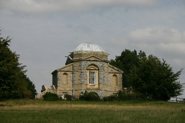
Euston Hall

Euston Hall is a country house, with park by William Kent and Capability Brown, located in Euston, a small village in Suffolk located just south of Thetford...

Barnham, Suffolk

Barnham is a village and civil parish in the West Suffolk district of the English county of Suffolk about 3 miles (4.8 km) south of Thetford and 9 miles...

Barnham Windmill, Suffolk

Barnham Mill is a tower mill at Barnham, Suffolk, England which has been converted to residential accommodation. == History == Barnham Mill was built for...

Brandon Rural District

Brandon was a rural district in Suffolk, England from 1894 to 1935. The district was created in 1894 as the Suffolk part of the Thetford rural sanitary...

Barnham railway station (Suffolk)

Barnham railway station is a former station in Barnham, Suffolk on a now closed line between Thetford and Bury St Edmunds. It was located close to the...
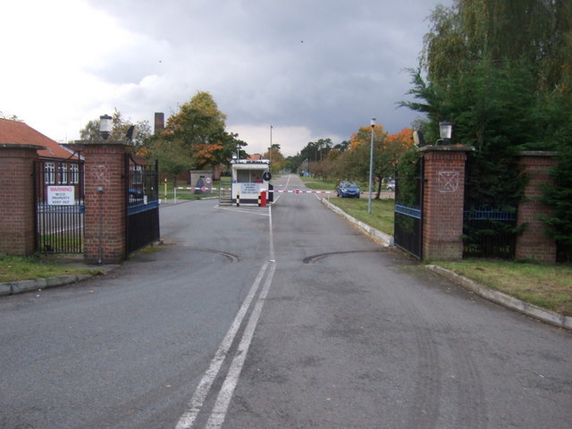
RAF Barnham

RAF Barnham (also called Barnham Camp) is a Royal Air Force station situated in the English county of Suffolk 2 miles (3.2 km) south of the Norfolk town...

Nearby Amenities

Located within 500m of 52.379525,0.77297492
Power: pole
Lat/Long: 52.3806914/0.7694743
Power: pole
Lat/Long: 52.378784/0.770067
Power: pole
Lat/Long: 52.381235/0.7684228
Power: pole
Lat/Long: 52.3752685/0.7727739
Power: pole
Lat/Long: 52.3761068/0.77084
Power: pole
Lat/Long: 52.3818162/0.7672808
The data included in this document is from www.openstreetmap.org. The data is made available under ODbL.

Have you been to Barnham Carr?

Leave your review of Barnham Carr below (or comments, questions and feedback).