Constable's Pit Wood
Wood, Forest in Norfolk North Norfolk
England
Constable's Pit Wood
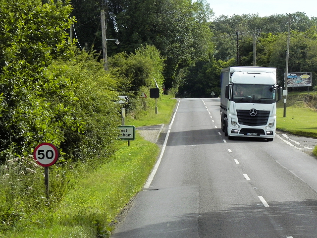
Constable's Pit Wood is a charming woodland located in the county of Norfolk, in Eastern England. Covering an area of approximately 50 acres, this picturesque forest is situated near the village of East Harling. It is named after the renowned English landscape painter, John Constable, who was inspired by the natural beauty of the area during his visits in the 19th century.
The wood is predominantly composed of broadleaf trees, including oak, beech, and birch, which create a dense and diverse woodland ecosystem. The forest floor is adorned with a rich carpet of bluebells, wild garlic, and ferns, adding to its enchanting atmosphere. Numerous walking trails meander through the wood, providing visitors with an opportunity to explore and immerse themselves in nature.
Constable's Pit Wood is also home to a variety of wildlife, making it a haven for nature enthusiasts. Birdwatchers can spot a wide range of avian species, including woodpeckers, nightingales, and tits. The wood is also inhabited by mammals such as deer, foxes, and badgers, although they may be more elusive to observe.
Managed by the Norfolk Wildlife Trust, Constable's Pit Wood offers a tranquil retreat for those seeking solace in nature. Throughout the year, the wood hosts educational events, guided walks, and conservation activities, encouraging visitors to learn more about the local environment and its preservation.
Overall, Constable's Pit Wood in Norfolk is a captivating woodland with its vibrant flora, diverse wildlife, and rich history, making it a cherished destination for both locals and tourists alike.
If you have any feedback on the listing, please let us know in the comments section below.
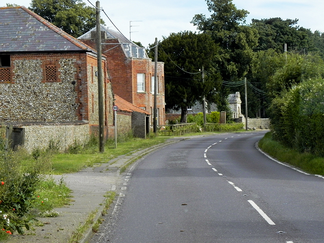
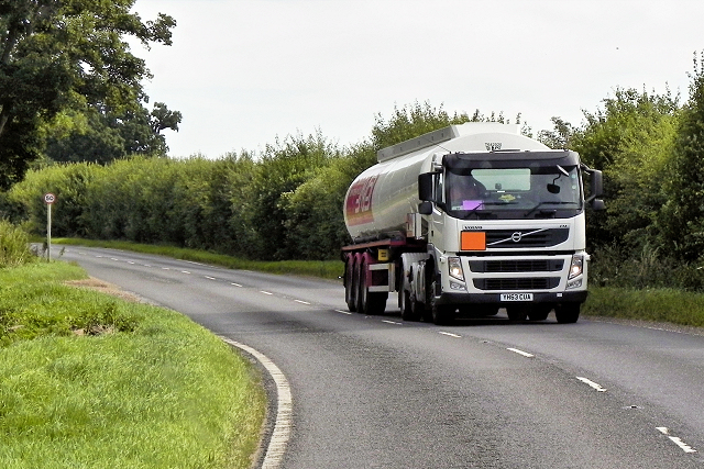
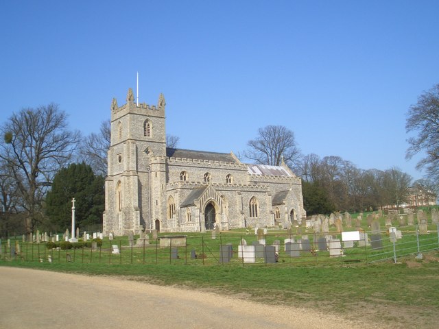
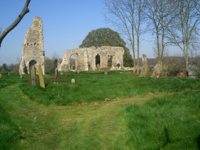
Constable's Pit Wood Images
Images are sourced within 2km of 52.782816/0.79852858 or Grid Reference TF8824. Thanks to Geograph Open Source API. All images are credited.


Constable's Pit Wood is located at Grid Ref: TF8824 (Lat: 52.782816, Lng: 0.79852858)
Administrative County: Norfolk
District: North Norfolk
Police Authority: Norfolk
What 3 Words
///panel.dries.muffin. Near Fakenham, Norfolk
Related Wikis

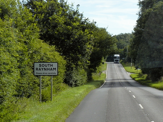
South Raynham
South Raynham is a village and former civil parish, now in the parish of Raynham, in the North Norfolk district, in the county of Norfolk, England. It...

Pattesley
Pattesley is a village in the English county of Norfolk, about one mile (1.6 km) south of the village of Oxwick. It consists of a few scattered houses...
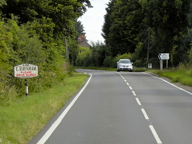
East Raynham
East Raynham is a village and former civil parish, now in the parish of Raynham, in the North Norfolk district, in the county of Norfolk, England. It is...
Raynham, Norfolk
Raynham is a civil parish in the English county of Norfolk, consisting of the villages of South, East and West Raynham. It covers an area of 16.75 km2...
Brown Lady of Raynham Hall
The Brown Lady of Raynham Hall is a ghost that reportedly haunts Raynham Hall in Norfolk, England. It became one of the most famous hauntings in the United...

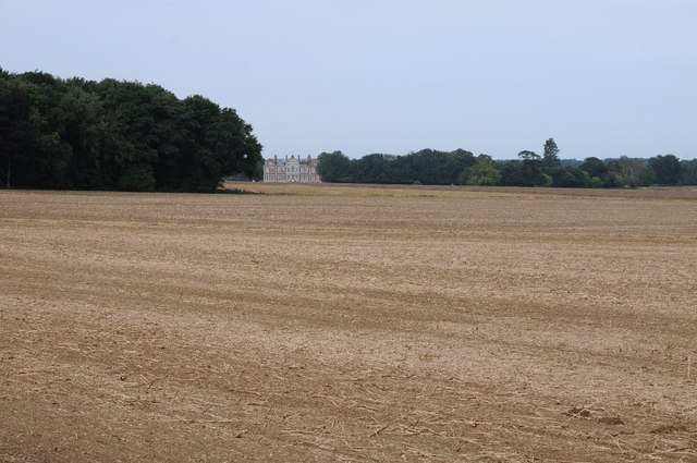
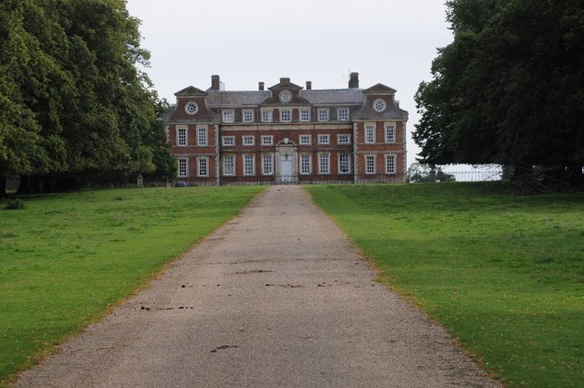
Raynham Hall
Raynham Hall is a country house in Norfolk, England. For nearly 400 years it has been the seat of the Townshend family. The hall gave its name to the five...
West Raynham
West Raynham is a village and former civil parish, now in the parish of Raynham, in the North Norfolk district, in the county of Norfolk, England. It is...

River Wensum SSSI
The River Wensum SSSI is a 'whole river' Site of Special Scientific Interest located on the River Wensum that flows through the English county of Norfolk...
Nearby Amenities
Located within 500m of 52.782816,0.79852858Have you been to Constable's Pit Wood?
Leave your review of Constable's Pit Wood below (or comments, questions and feedback).