Church Belt
Wood, Forest in Suffolk West Suffolk
England
Church Belt
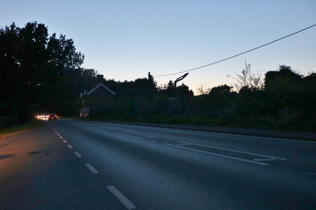
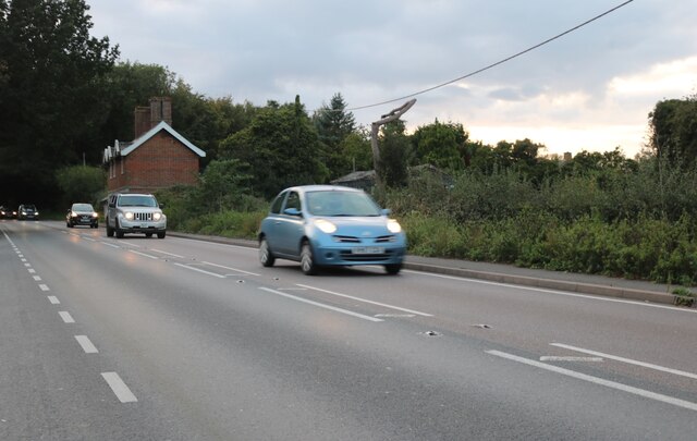
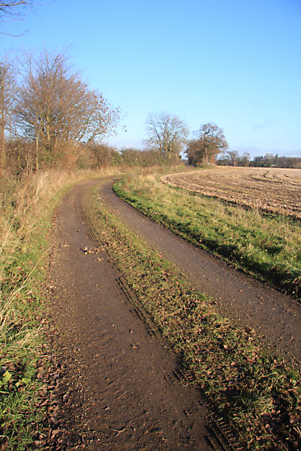
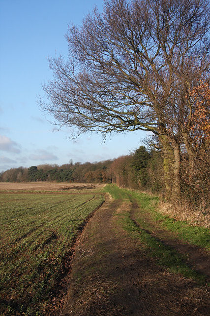
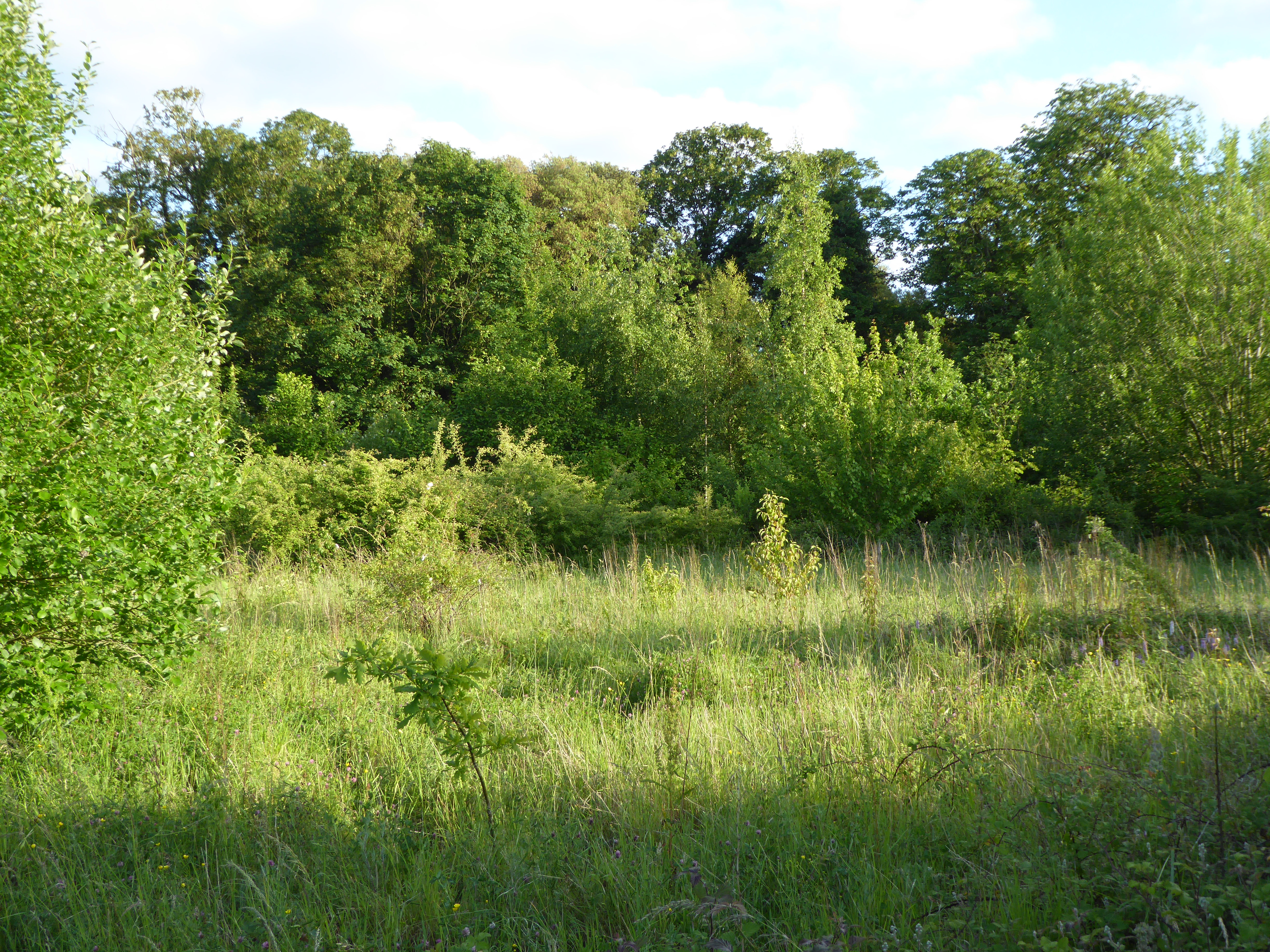
Church Belt is a picturesque woodland area located in Suffolk, England. Situated in the heart of the county, it is known for its dense forests and untouched natural beauty. The name "Church Belt" is derived from the presence of several historic churches that dot the landscape, giving the area a serene and spiritual atmosphere.
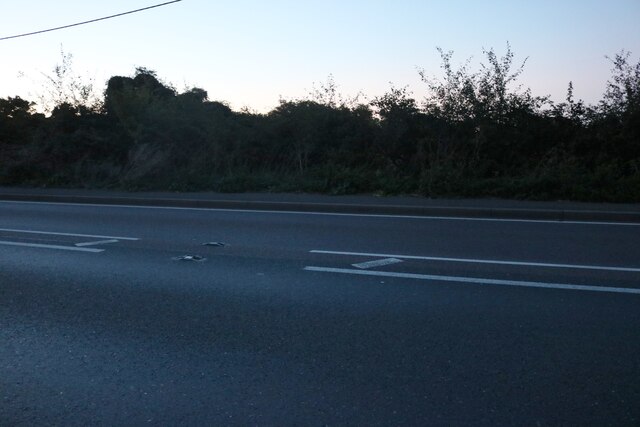
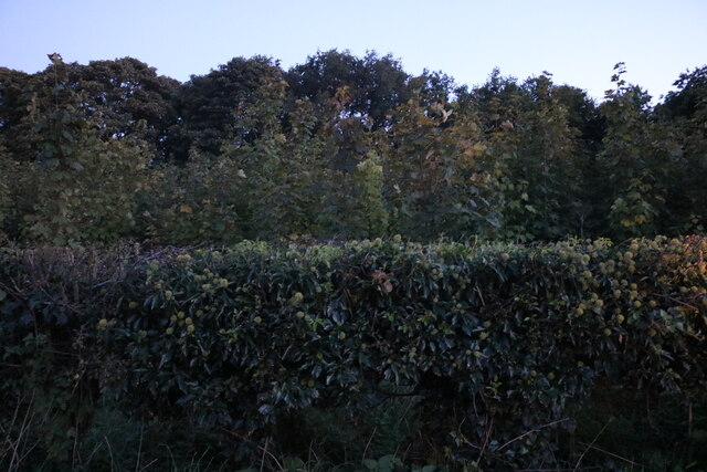
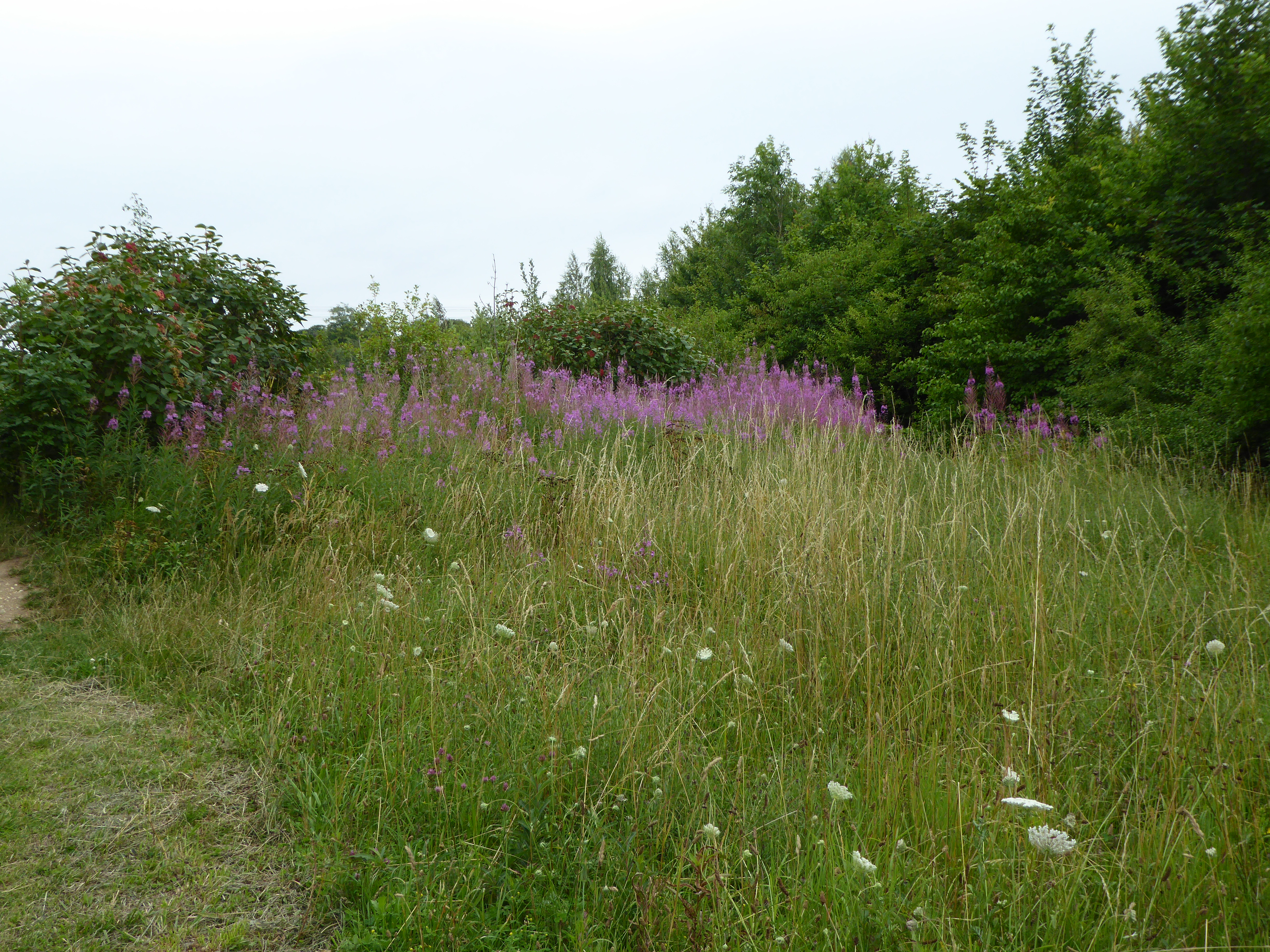
Covering an expansive area, Church Belt is home to a diverse range of tree species, including oak, beech, and pine. The dense foliage provides a habitat for various wildlife, making it a popular spot for nature enthusiasts and birdwatchers. The forest floor is adorned with a carpet of wildflowers during the spring and summer months, adding a burst of color to the already vibrant surroundings.
Trails and footpaths wind their way through the woodland, allowing visitors to explore the area on foot or by bike. The well-maintained paths offer glimpses of the local flora and fauna, as well as panoramic views of the rolling hills and valleys that encompass Church Belt.
The historic churches within the area are a testament to the rich heritage of Suffolk. These architectural wonders date back centuries and showcase a range of architectural styles, from medieval to Victorian. Visitors can admire the intricate stonework and stained-glass windows, and some churches even offer guided tours to provide a deeper insight into their history.
Church Belt, Suffolk, with its enchanting woodland and historic churches, offers a tranquil escape from the hustle and bustle of modern life. It is a place where nature and history converge, providing a unique and memorable experience for all who visit.
If you have any feedback on the listing, please let us know in the comments section below.
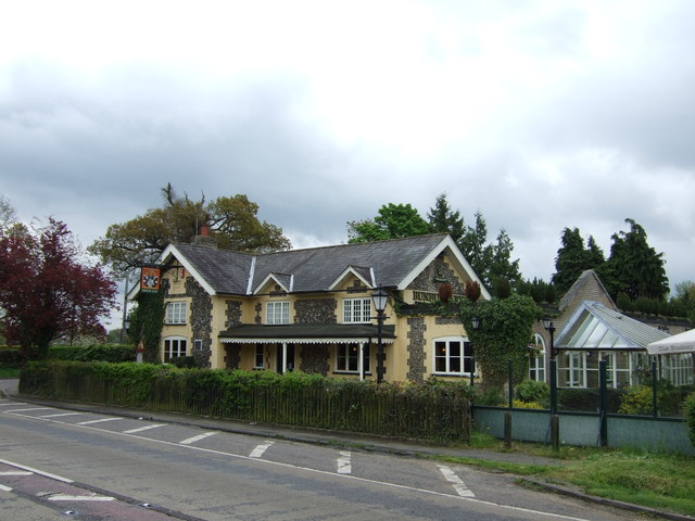
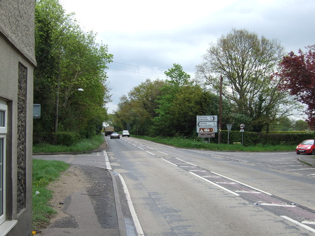
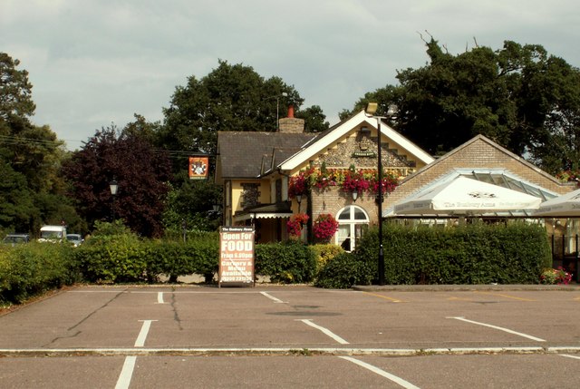
Church Belt Images
Images are sourced within 2km of 52.261728/0.76564575 or Grid Reference TL8866. Thanks to Geograph Open Source API. All images are credited.


Church Belt is located at Grid Ref: TL8866 (Lat: 52.261728, Lng: 0.76564575)
Administrative County: Suffolk
District: West Suffolk
Police Authority: Suffolk
What 3 Words
///decanter.vows.headliner. Near Great Barton, Suffolk
Nearby Locations
Related Wikis

Great Barton
Great Barton is a large village and civil parish in the West Suffolk district of Suffolk, England, about 3 miles (5 km) East of Bury St Edmunds on the...

Conyer's Green
Conyer's Green is a village in the civil parish of Great Barton, in the West Suffolk district, in the county of Suffolk, England.
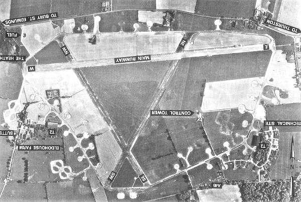
Rougham Airfield
Rougham Airfield, formerly Royal Air Force Bury St Edmunds or more simply RAF Bury St Edmunds is a former Royal Air Force station located 3 miles (4.8...

Moreton Hall, Bury St Edmunds
Moreton Hall is a Grade II* listed building in Bury St Edmunds, a market town in the county of Suffolk, England. It was designed by the Scottish architect...
Moreton Hall Community Woods
Moreton Hall Community Woods is an 18.5 hectare local nature reserve in Bury St Edmunds in Suffolk. it is owned by West Suffolk Council and managed by...
The Glen Chalk Caves, Bury St Edmunds
The Glen Chalk Caves, Bury St Edmunds is a 1.6-hectare (4.0-acre) biological Site of Special Scientific Interest in Bury St Edmunds in Suffolk.Tunnels...

Thurston Community College
Thurston Community College is a co-educational secondary school and sixth form located in Thurston, Suffolk, England. As of 2018, it has 1,733 students...
Thurston railway station
Thurston railway station serves the village of Thurston in Suffolk, England. The station, and all trains serving it, are operated by Greater Anglia. It...
Have you been to Church Belt?
Leave your review of Church Belt below (or comments, questions and feedback).