Aldercar

Wood, Forest in Essex Braintree

England

Aldercar

Boley Road, White Colne, Essex St. Andrew's church can be seen in the distance.
Boley Road, White Colne, Essex Credit: Robert Edwards

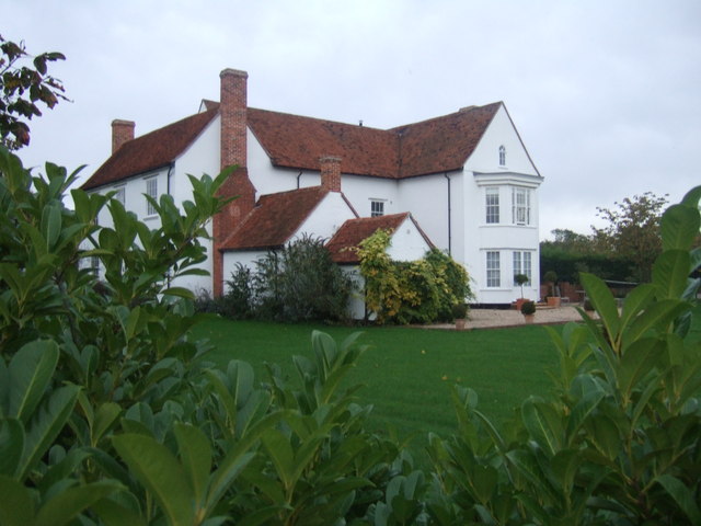
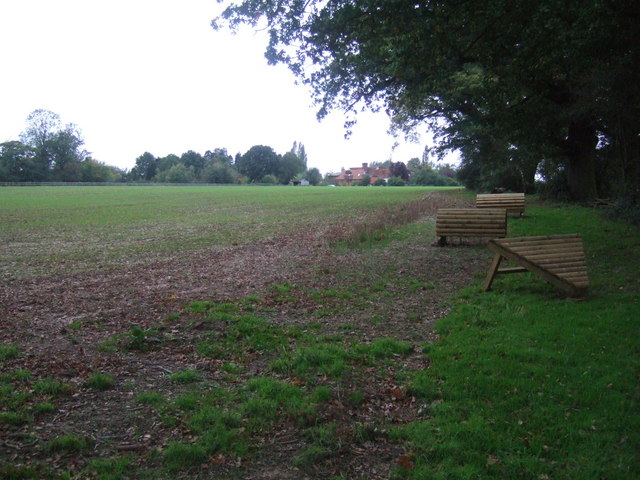
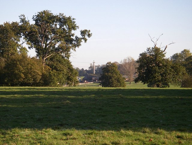
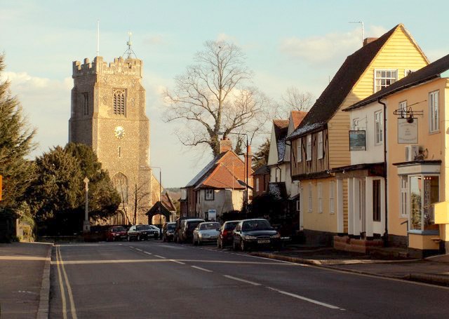
Aldercar, Essex, also known as Aldercar Wood or Aldercar Forest, is a small village located in the county of Essex, England. Situated near the town of Ilkeston, it lies on the southern edge of the county, close to the border with Derbyshire. The village is surrounded by picturesque woodlands, giving it a tranquil and rural atmosphere.

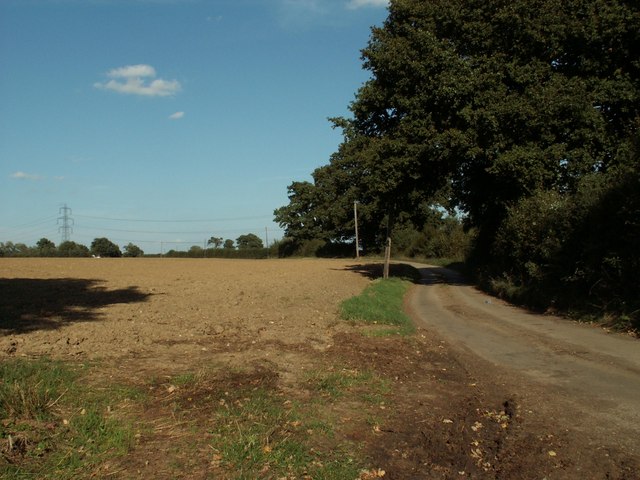
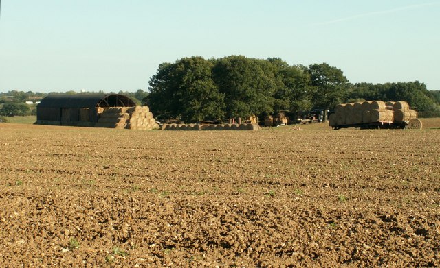
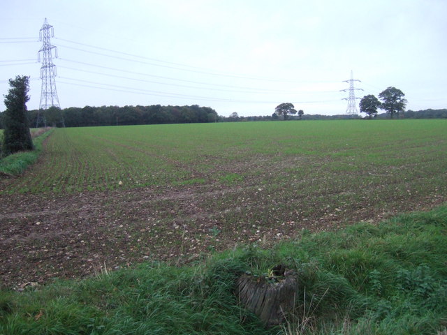
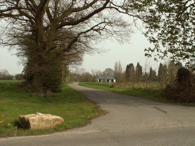
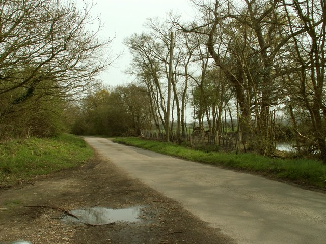
Aldercar is renowned for its natural beauty, with the forest providing a habitat for a diverse range of flora and fauna. The area is particularly known for its ancient alder trees, which are prevalent throughout the woodlands. These trees, along with other native species, create a lush and green environment that attracts nature enthusiasts and walkers.

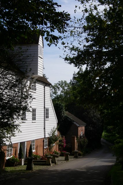
The village itself is small, with a population of around 500 residents. It primarily consists of residential properties, some of which are traditional cottages that add to the charm of the area. There is also a small primary school and a local pub, which serves as a focal point for the community.

Despite its rural setting, Aldercar is well-connected to nearby towns and cities. The village is located near major road networks, making it easily accessible by car. The nearby town of Ilkeston provides amenities such as shops, supermarkets, and healthcare facilities, while the bustling city of Nottingham is just a short drive away.

Overall, Aldercar, Essex, offers a tranquil and idyllic setting for those seeking a peaceful lifestyle surrounded by nature.

If you have any feedback on the listing, please let us know in the comments section below.
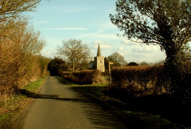
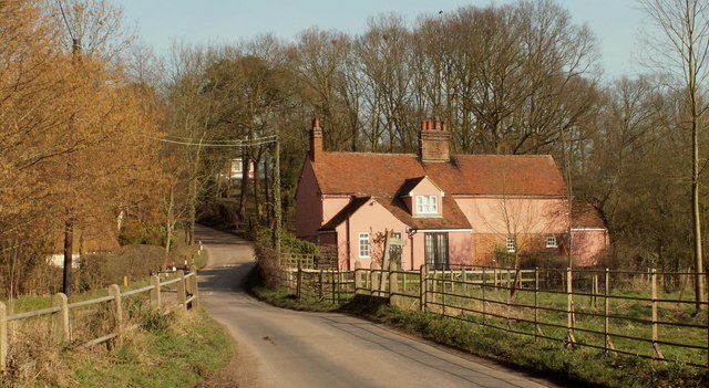
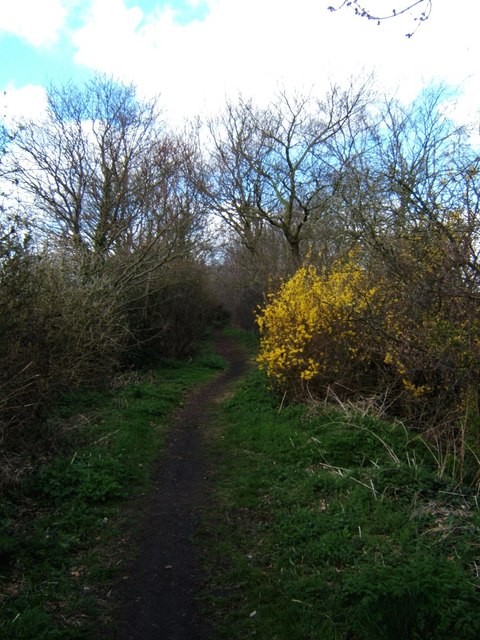
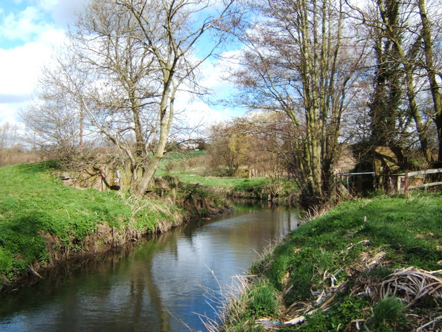
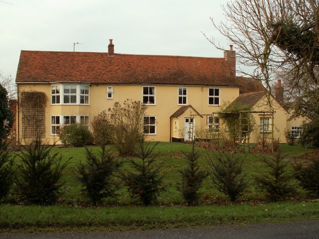
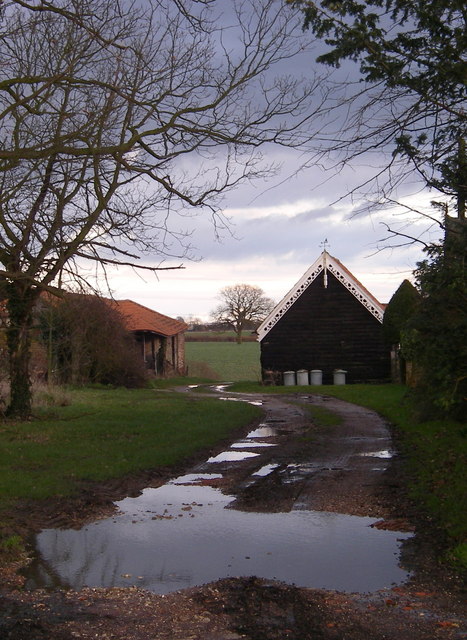
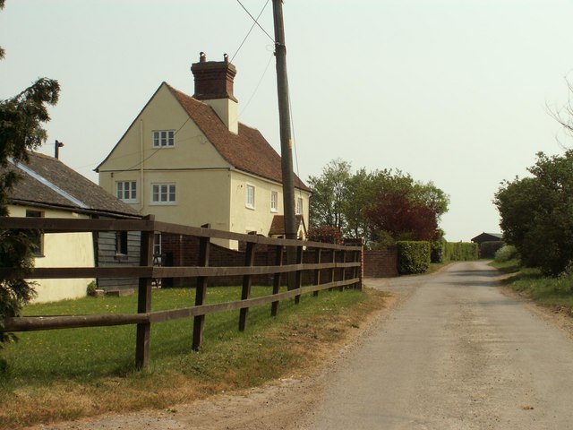
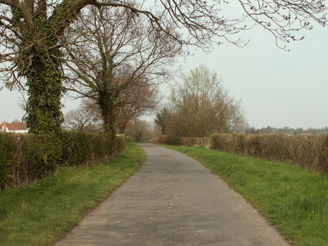
Aldercar Images

Images are sourced within 2km of 51.942382/0.71898679 or Grid Reference TL8630. Thanks to Geograph Open Source API. All images are credited.

Boley Road, White Colne, Essex St. Andrew's church can be seen in the distance.
Boley Road, White Colne, Essex
St. Andrew's church can be seen in the distance.
Country lane, east of Colne Engaine, Essex The road from Colne Engaine to Countess Cross.
Country lane, east of Colne Engaine, Essex
The road from Colne Engaine to Countess Cross.
Thin Reserve, White Colne This is a view along the old Colne Valley railway line looking westbound towards Earls Colne. The railway embankment ran from White Colne to where the line used to cross the river. At the time the photo was taken this was  a nature reserve managed by Essex Wildlife Trust <span class="nowrap"><a title="http://www.essexwt.org.uk/" rel="nofollow ugc noopener" href="http://www.essexwt.org.uk/">Link</a><img style="margin-left:2px;" alt="External link" title="External link - shift click to open in new window" src="https://s1.geograph.org.uk/img/external.png" width="10" height="10"/></span> however management has now passed back to the local authority. Continue on a virtual tour of Wildlife Trust Reserves in Essex by visiting a former reserve no longer in their care <a href="https://www.geograph.org.uk/photo/1059420">TQ8598 : Hall Wood</a>
Thin Reserve, White Colne
This is a view along the old Colne Valley railway line looking westbound towards Earls Colne. The railway embankment ran from White Colne to where the line used to cross the river. At the time the photo was taken this was a nature reserve managed by Essex Wildlife Trust LinkExternal link however management has now passed back to the local authority. Continue on a virtual tour of Wildlife Trust Reserves in Essex by visiting a former reserve no longer in their care TQ8598 : Hall Wood
Bridge Out! This picture shows what is left of a bridge on the Colne Valley railway. The railway embankment to the right as far as White Colne was a nature reserve managed by Essex wildlife Trust <span class="nowrap"><a title="http://www.essexwt.org.uk/" rel="nofollow ugc noopener" href="http://www.essexwt.org.uk/">Link</a><img style="margin-left:2px;" alt="External link" title="External link - shift click to open in new window" src="https://s1.geograph.org.uk/img/external.png" width="10" height="10"/></span> however management has now passed back to the local authority. The photo was taken looking upstream.
Bridge Out!
This picture shows what is left of a bridge on the Colne Valley railway. The railway embankment to the right as far as White Colne was a nature reserve managed by Essex wildlife Trust LinkExternal link however management has now passed back to the local authority. The photo was taken looking upstream.
Field near Countess Cross, Essex
Bures Field, Bramble Farm Straw bales after harvest.
Bures Field, Bramble Farm
Straw bales after harvest.
Overshot mill - Colne Engaine A beautifully restored watermill in a rural location
Overshot mill - Colne Engaine
A beautifully restored watermill in a rural location
Pylons Near White Colne View across fields towards Colne Park near White Colne
Pylons Near White Colne
View across fields towards Colne Park near White Colne
Bart Hall Bart Hall White Colne
Bart Hall
Bart Hall White Colne
Horse Jumps Cross Country Horse Jumps near Berewyk Hall
Horse Jumps
Cross Country Horse Jumps near Berewyk Hall
Colne park monument
Colne park monument
Lych -gate st. Andrew's church, White Colne
Farmhouse at White's Farm
"Barge boarding" Barge boarding on farm buildings at Countess Cross
"Barge boarding"
Barge boarding on farm buildings at Countess Cross
A view of Brickhouse Farm, along Brickhouse Road
Boley Road, heading towards White Colne church
The road to Berewyk Hall The hall is out of sight and not the building in the picture.
The road to Berewyk Hall
The hall is out of sight and not the building in the picture.
Parkhurst Green Lane
Show me another place!

Aldercar is located at Grid Ref: TL8630 (Lat: 51.942382, Lng: 0.71898679)

Administrative County: Essex

District: Braintree

Police Authority: Essex

What 3 Words

///exam.crispy.comply. Near Earls Colne, Essex

Related Wikis

Nearby Amenities

Located within 500m of 51.942382,0.71898679
Countess Cross
Created By: Potlatch 0.10f
Place: locality
Wikidata: Q5177058
Lat/Long: 51.9456981/0.7162147
Fixme: incomplete
Lat/Long: 51.9440421/0.7135507
Crossing
Lat/Long: 51.9388888/0.7154129
The data included in this document is from www.openstreetmap.org. The data is made available under ODbL.

Have you been to Aldercar?

Leave your review of Aldercar below (or comments, questions and feedback).