Pott's Wood

Wood, Forest in Kent Ashford

England

Pott's Wood

Oaks Road, Tenterden This road which goes to Woodchurch and Hamstreet leaves the busy High Street in Tenterden at this point. The town is often referred to as the 'Jewel of the Weald'. More local pictures can be found at <span class="nowrap"><a title="http://www.hamstreet.info/b2067/index.html" rel="nofollow ugc noopener" href="http://www.hamstreet.info/b2067/index.html">Link</a><img style="margin-left:2px;" alt="External link" title="External link - shift click to open in new window" src="https://s1.geograph.org.uk/img/external.png" width="10" height="10"/></span>
Oaks Road, Tenterden Credit: Adam Colton

Pott's Wood, located in Kent, England, is a thriving woodland area known for its natural beauty and diverse ecosystem. Spanning over a vast area of land, the wood is situated in the southeastern part of the county, near the village of Potters Corner. The wood is named after the Pott family, who were the original owners of the land in the early 19th century.

Pott's Wood is predominantly made up of broadleaf trees, including oak, beech, and birch, which provide a dense canopy that creates a cool and shaded environment. The woodland floor is covered in a rich carpet of wildflowers, including bluebells and primroses, which bloom in abundance during the spring months. The wood is also home to a variety of wildlife, such as deer, foxes, badgers, and numerous bird species.

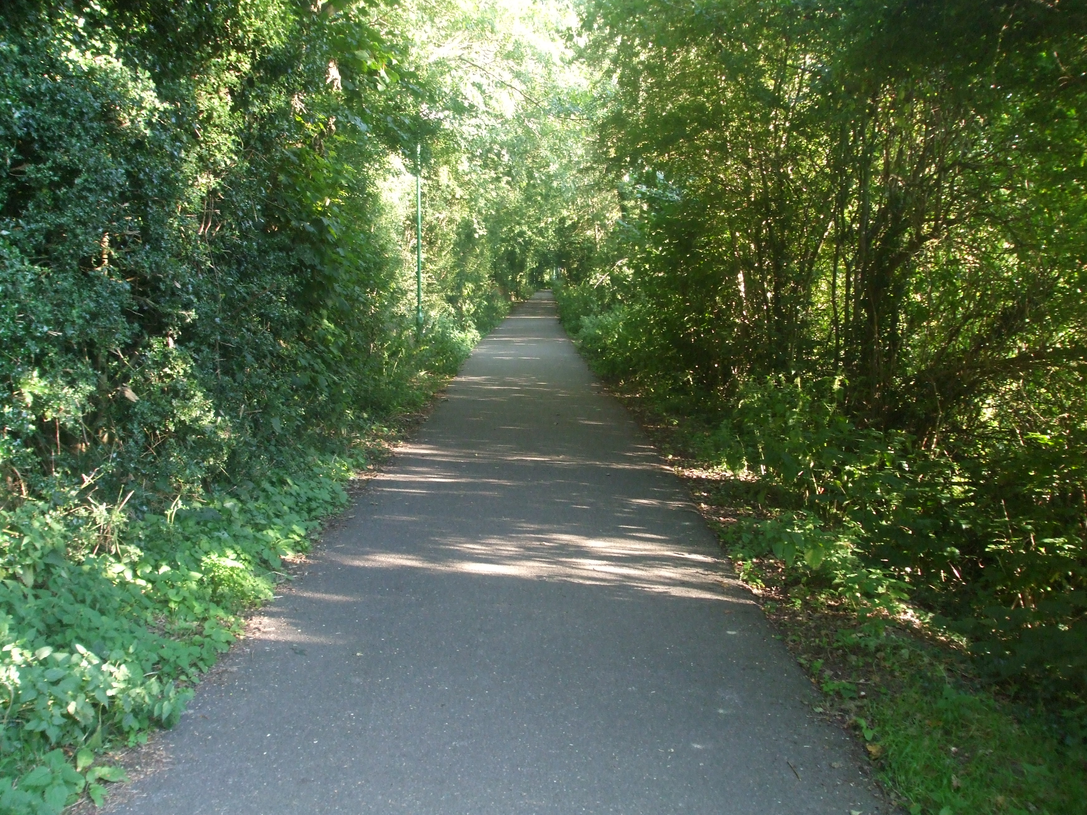
The wood is crisscrossed with a network of footpaths and trails, making it an ideal location for walking, hiking, and nature enthusiasts. Visitors can explore the wood's many hidden corners, discovering picturesque streams, small ponds, and secluded clearings. The wood is particularly popular among birdwatchers, who come to observe rare species that inhabit the area.

Pott's Wood is carefully managed by the local authorities to preserve its natural beauty and protect its inhabitants. Conservation efforts include controlled logging, maintaining the footpaths, and monitoring the wildlife population. The wood is open to the public year-round, providing a peaceful and serene escape from the bustling city life.

If you have any feedback on the listing, please let us know in the comments section below.
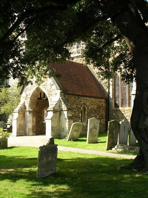
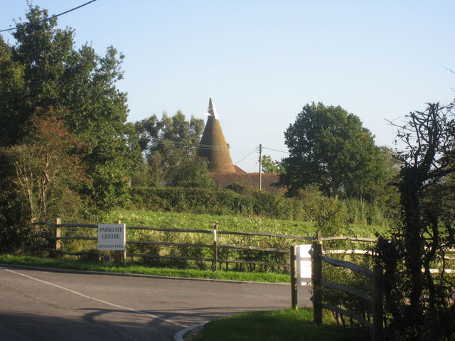
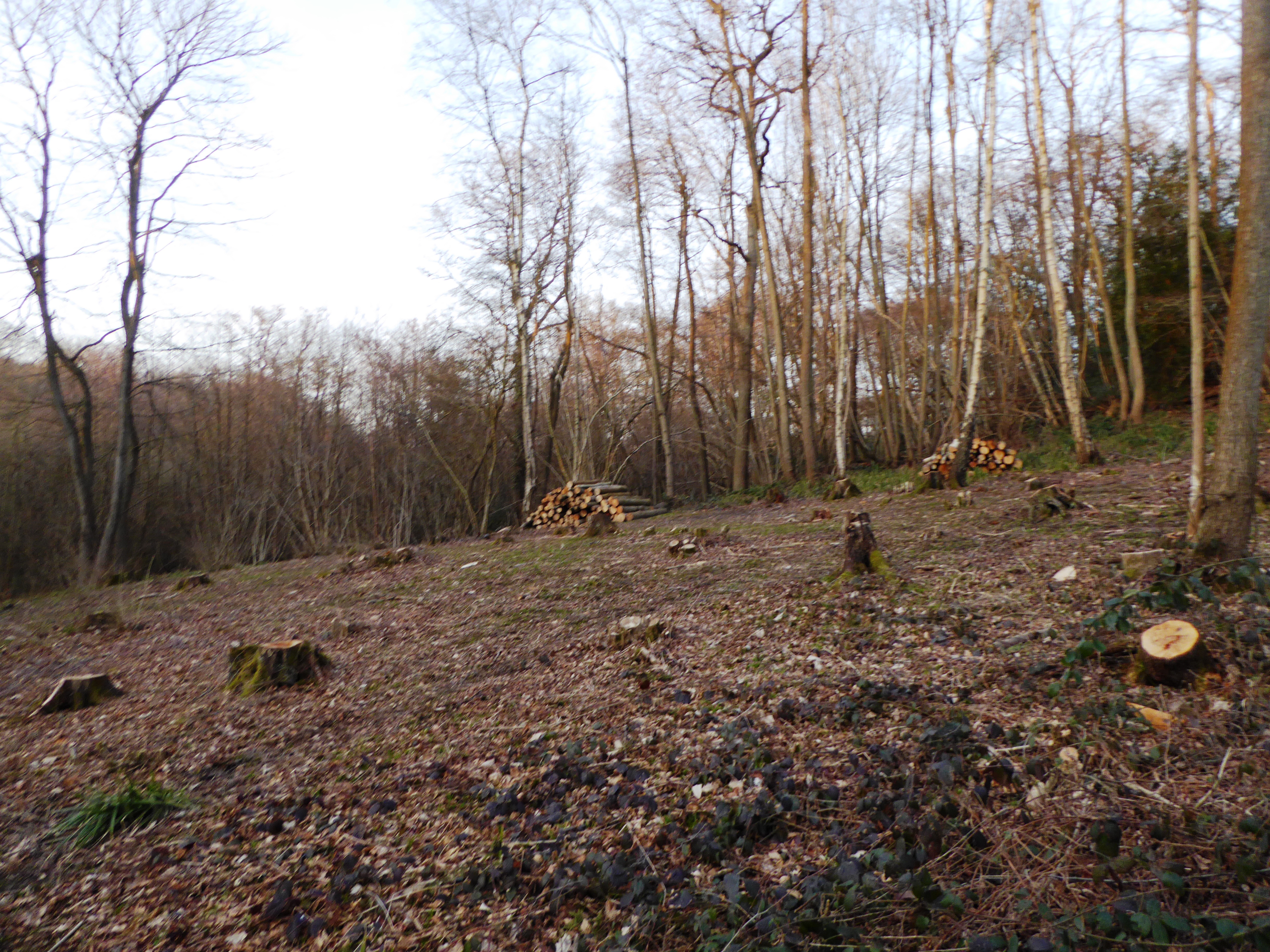
Pott's Wood Images

Images are sourced within 2km of 51.081119/0.66857659 or Grid Reference TQ8734. Thanks to Geograph Open Source API. All images are credited.

Oaks Road, Tenterden This road which goes to Woodchurch and Hamstreet leaves the busy High Street in Tenterden at this point. The town is often referred to as the 'Jewel of the Weald'. More local pictures can be found at <span class="nowrap"><a title="http://www.hamstreet.info/b2067/index.html" rel="nofollow ugc noopener" href="http://www.hamstreet.info/b2067/index.html">Link</a><img style="margin-left:2px;" alt="External link" title="External link - shift click to open in new window" src="https://s1.geograph.org.uk/img/external.png" width="10" height="10"/></span>
Oaks Road, Tenterden
This road which goes to Woodchurch and Hamstreet leaves the busy High Street in Tenterden at this point. The town is often referred to as the 'Jewel of the Weald'. More local pictures can be found at LinkExternal link
Tenterden, Kent The town centre, with the church, town hall, and the Woolpack Hotel.
Tenterden, Kent
The town centre, with the church, town hall, and the Woolpack Hotel.
Tenterden Town Station Tenterden Town station is the northern terminus of the Kent & East Sussex Railway which runs to Bodiam. The line opened in 1900 between Robertsbridge on the South Eastern & Chatham Railway and Rolvenden (then called Tenterden) as the Rother Valley Railway. The line was extended to Tenterden Town in 1903 and onwards to Headcorn Junction (also on the SE&CR) in 1905. It retained a precarious independence from its big neighbour (despite becoming bankrupt in 1931) until nationalisation brought it into the British Railways fold in 1948. Passenger trains were withdrawn in 1954 and the last goods train ran in 1961. A scheme to reopen the line by volunteers nearly foundered when the Ministry of Transport objected to the continued use of a level crossing over the main A21 Hastings road, but a shorter length of the line was finally saved.
Tenterden Town Station
Tenterden Town station is the northern terminus of the Kent & East Sussex Railway which runs to Bodiam. The line opened in 1900 between Robertsbridge on the South Eastern & Chatham Railway and Rolvenden (then called Tenterden) as the Rother Valley Railway. The line was extended to Tenterden Town in 1903 and onwards to Headcorn Junction (also on the SE&CR) in 1905. It retained a precarious independence from its big neighbour (despite becoming bankrupt in 1931) until nationalisation brought it into the British Railways fold in 1948. Passenger trains were withdrawn in 1954 and the last goods train ran in 1961. A scheme to reopen the line by volunteers nearly foundered when the Ministry of Transport objected to the continued use of a level crossing over the main A21 Hastings road, but a shorter length of the line was finally saved.
The A28 near Rolvenden The cars are queueing at the level crossing waiting for the train (from which the photograph was taken) to pass.
The A28 near Rolvenden
The cars are queueing at the level crossing waiting for the train (from which the photograph was taken) to pass.
Kent and East Sussex Railway The "Norwegian" climbing into Tenterden Town Station
Kent and East Sussex Railway
The "Norwegian" climbing into Tenterden Town Station
Looking NW over Isemonger just outside of Tenterden Rolling Kent countryside
Looking NW over Isemonger just outside of Tenterden
Rolling Kent countryside
St Mildred's church Tenterden A view of the porch of St Mildred's church in Tenterden
St Mildred's church Tenterden
A view of the porch of St Mildred's church in Tenterden
St Mildred, Tenterden, Kent
St Mildred, Tenterden, Kent - Churchyard Oven graves
St Mildred, Tenterden, Kent - Churchyard
Oven graves
St Mildred, Tenterden, Kent
St Mildred, Tenterden, Kent - Window
Andred Oast, Gribble Bridge Lane, Biddenden, Kent Round kilned oast house with a fake square kiln to the side. Converted to a dwelling in the early 1970s.
Andred Oast, Gribble Bridge Lane, Biddenden, Kent
Round kilned oast house with a fake square kiln to the side. Converted to a dwelling in the early 1970s.
Hop Garden, Bugglesden Road, near Biddenden The hop picking season starts in September.

These are taken to the nearby <a href="https://www.geograph.org.uk/photo/1533642">TQ8736 : Oast House at Haffenden Farm, Bugglesden Road, St Michaels, Kent</a>
Hop Garden, Bugglesden Road, near Biddenden
The hop picking season starts in September. These are taken to the nearby TQ8736 : Oast House at Haffenden Farm, Bugglesden Road, St Michaels, Kent
Goodshill Farm Oast, Cranbrook Road, Tenterden, Kent An Oast House is a building used to dry fresh hops before they are sent to the brewers, to be used for flavouring beer. A traditional Oast House consists of the 'oast' and the 'stowage'. The oast was a kiln, with a plenum chamber fired by charcoal at ground floor and the drying floor directly above. The steep pitched roof channelled the hot air through the hops to the top. The stowage, was the barn section, it had a cooling floor and press at first floor and storage area at ground floor. Read more <a title="https://www.geograph.org.uk/article/Oast-Houses" href="https://www.geograph.org.uk/article/Oast-Houses">Link</a>
Goodshill Farm Oast, Cranbrook Road, Tenterden, Kent
An Oast House is a building used to dry fresh hops before they are sent to the brewers, to be used for flavouring beer. A traditional Oast House consists of the 'oast' and the 'stowage'. The oast was a kiln, with a plenum chamber fired by charcoal at ground floor and the drying floor directly above. The steep pitched roof channelled the hot air through the hops to the top. The stowage, was the barn section, it had a cooling floor and press at first floor and storage area at ground floor. Read more Link
Isemonger Oast, Rolvenden Road, Tenterden, Kent
Oast House, Parkgate, Cranbrook Road, Tenterden, Kent Single round kiln oast house.

Also see <a href="https://www.geograph.org.uk/photo/1066227">TQ8534 : Park Gate Oast, Cranbrook Road, Tenterden, Kent</a>
Oast House, Parkgate, Cranbrook Road, Tenterden, Kent
Single round kiln oast house. Also see TQ8534 : Park Gate Oast, Cranbrook Road, Tenterden, Kent
Oast House at Haffenden Farm, Bugglesden Road, St Michaels, Kent 20th Century ridge ventilated oast house. Believed to still be working. The corrugated building to the right houses a suspended conveyor, the tractor drives underneath and the hop bines are hook onto the conveyor and taken into the building to be processed.
Oast House at Haffenden Farm, Bugglesden Road, St Michaels, Kent
20th Century ridge ventilated oast house. Believed to still be working. The corrugated building to the right houses a suspended conveyor, the tractor drives underneath and the hop bines are hook onto the conveyor and taken into the building to be processed.
Tenterden Town signal box
Show me another place!

Pott's Wood is located at Grid Ref: TQ8734 (Lat: 51.081119, Lng: 0.66857659)

Administrative County: Kent

District: Ashford

Police Authority: Kent

What 3 Words

///grazes.conjured.regaining. Near Tenterden, Kent

Nearby Locations

Pott's Wood

Related Wikis

Wattle Wood

Wattle Wood is a 1-hectare (2.5-acre) nature reserve north-west of Tenterden in Kent. It is managed by Kent Wildlife Trust.This ancient coppice with standards...

Turners Field

Turners Field is an 11-hectare (27-acre) nature reserve on the western outskirts of Tenterden in Kent. It is managed by Kent Wildlife Trust.This field...

Tenterden St Michael's railway station

Tenterden St. Michael's was a railway station on the Kent and East Sussex Railway which served the Tenterden suburb of St Michaels in Kent, England. The...

St Michaels, Kent

St Michaels is a village in the civil parish of Tenterden, in the Ashford district, in the county of Kent, England. Before 1863 it was known as Boar's...

Nearby Amenities

Located within 500m of 51.081119,0.66857659
The data included in this document is from www.openstreetmap.org. The data is made available under ODbL.

Have you been to Pott's Wood?

Leave your review of Pott's Wood below (or comments, questions and feedback).