Dixon's Plantation
Wood, Forest in Norfolk King's Lynn and West Norfolk
England
Dixon's Plantation

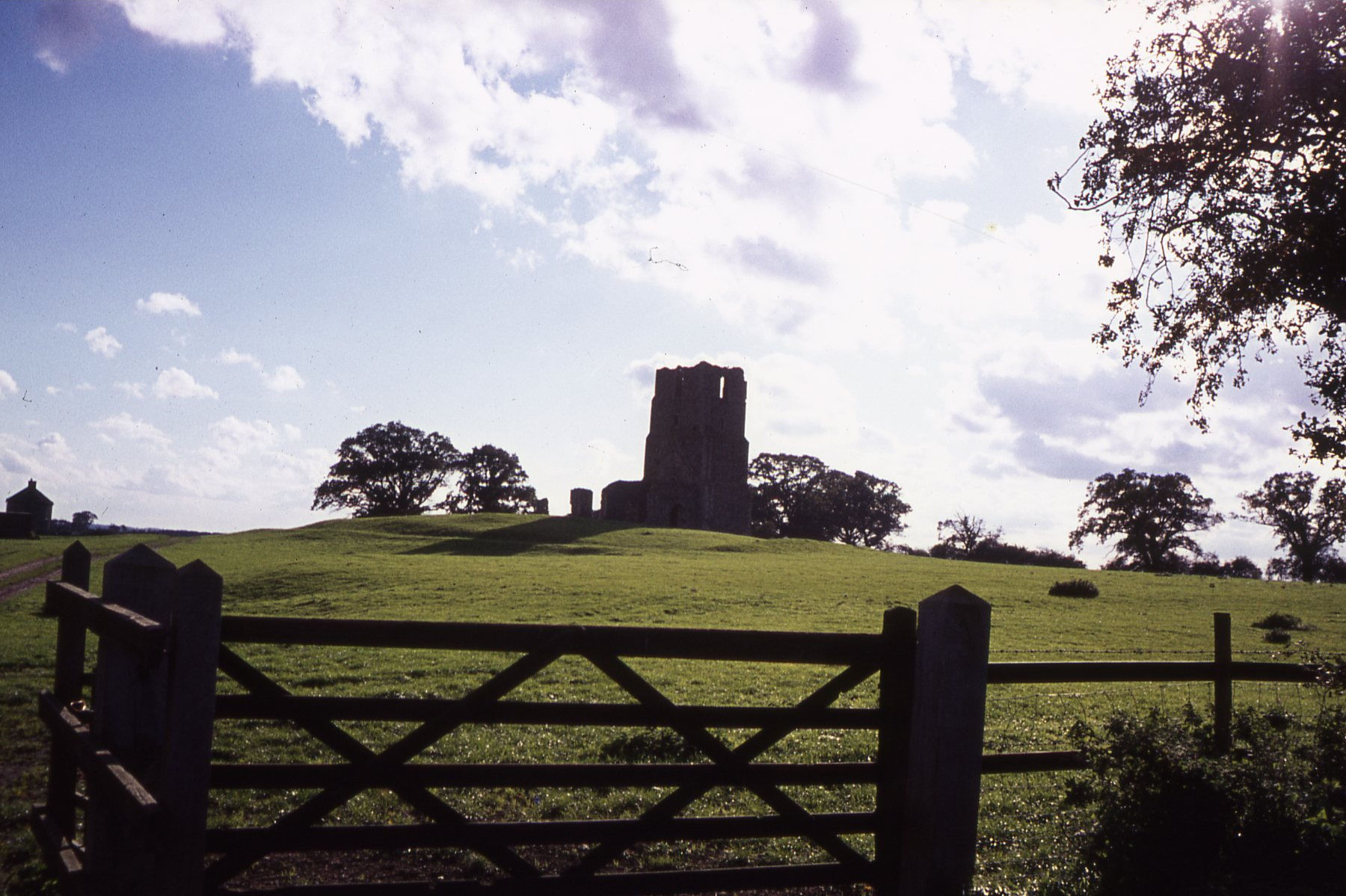
Dixon's Plantation, also known as Norfolk Wood or Norfolk Forest, is a sprawling estate located in Norfolk, England. This historic site encompasses a vast area of land, comprising dense woodlands, verdant meadows, and picturesque lakes. The plantation dates back several centuries and holds immense cultural and historical significance in the region.
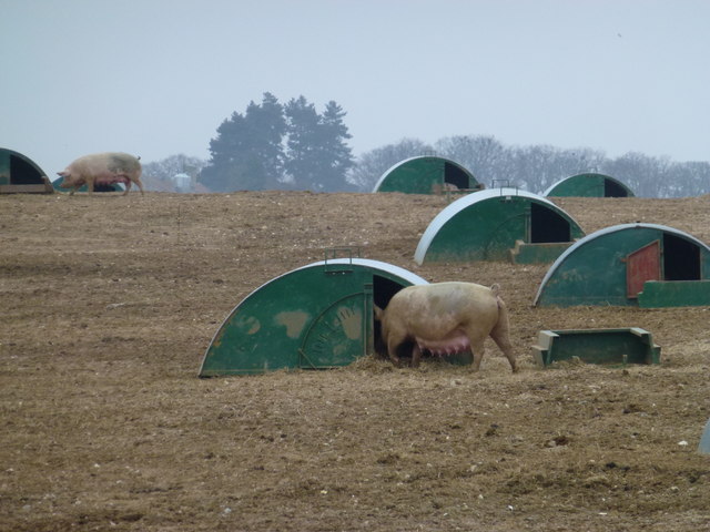
The plantation is renowned for its diverse and well-preserved wildlife. It serves as a habitat for numerous species of birds, mammals, and insects, making it a popular destination for nature enthusiasts and birdwatchers. The woodlands are dominated by a variety of tree species, including oak, beech, and pine, creating a rich and vibrant ecosystem.
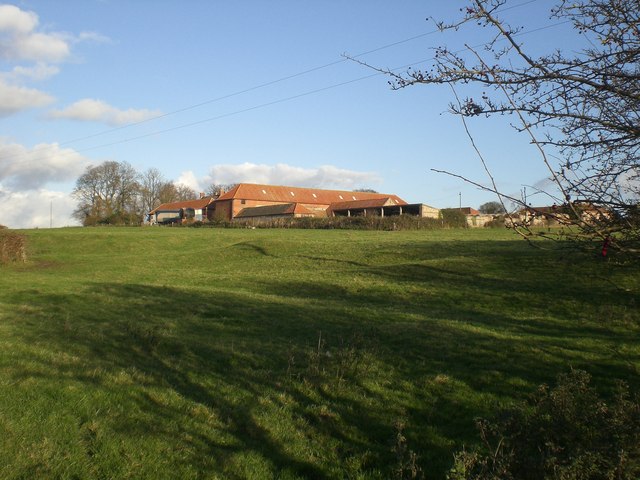
The estate also boasts a rich history, with traces of human habitation dating back to the Roman era. Over the centuries, the land has been used for various purposes, including agriculture, hunting, and recreational activities. The Dixon family, who owned the plantation in the 19th century, played a crucial role in its development and preservation.
Today, Dixon's Plantation is open to the public, offering visitors a chance to explore its natural beauty and delve into its fascinating history. The estate features well-maintained walking trails, allowing visitors to immerse themselves in the tranquil ambiance of the woodlands. Additionally, there are picnic areas and designated spots for wildlife observation, ensuring a memorable experience for all.
Overall, Dixon's Plantation is a remarkable destination that combines natural beauty, historical significance, and recreational opportunities. It stands as a testament to the enduring charm and importance of Norfolk's woodlands, captivating visitors with its picturesque landscapes and rich heritage.
If you have any feedback on the listing, please let us know in the comments section below.
Dixon's Plantation Images
Images are sourced within 2km of 52.875622/0.77684367 or Grid Reference TF8634. Thanks to Geograph Open Source API. All images are credited.


Dixon's Plantation is located at Grid Ref: TF8634 (Lat: 52.875622, Lng: 0.77684367)
Administrative County: Norfolk
District: King's Lynn and West Norfolk
Police Authority: Norfolk
What 3 Words
///mincing.asking.twitches. Near Fakenham, Norfolk
Nearby Locations
Related Wikis

South Creake
South Creake is a village and civil parish in north west Norfolk, England. The village lies 1+1⁄2 miles (2.4 km) south of its twin village of North Creake...

Bloodgate Hill Iron Age Fort
The Bloodgate Hill Iron Age Fort is an Iron Age hill fort in Norfolk, England, situated on a hill above the village of South Creake in the north of the...
Waterden medieval settlement
Waterden medieval settlement is a deserted medieval village in Norfolk, England, about 3 miles (4.8 km) west of Walsingham. It is a Scheduled Monument...
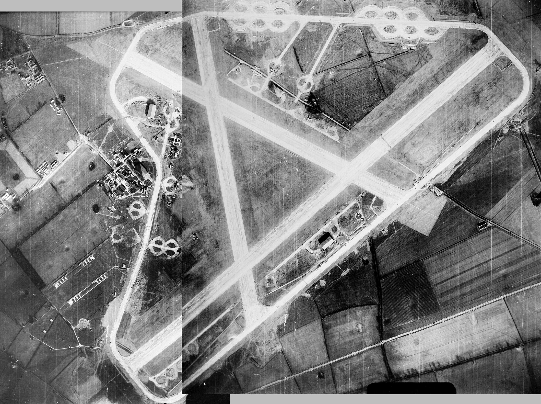
Sculthorpe Training Area
Sculthorpe Training Area, previously Royal Air Force Station Sculthorpe and commonly abbreviated RAF Sculthorpe, is a training site owned by the British...
West Barsham
West Barsham is a village and former civil parish, now in the parish of Barsham, in the North Norfolk district, in the county of Norfolk, England. In 1931...

Barsham, Norfolk
Barsham is a civil parish in the English county of Norfolk, and includes the villages of East Barsham, North Barsham, West Barsham and Houghton St Giles...

North Creake
North Creake is a village and civil parish in the north west of the English county of Norfolk. It covers an area of 14.99 km2 (5.79 sq mi) and had a population...
Egmere medieval settlement
Egmere medieval settlement is a deserted medieval village in Norfolk, England, about 2.5 miles (4.0 km) west of Walsingham. It is a Scheduled Monument...
Nearby Amenities
Located within 500m of 52.875622,0.77684367Have you been to Dixon's Plantation?
Leave your review of Dixon's Plantation below (or comments, questions and feedback).