Long Plantation
Wood, Forest in Norfolk King's Lynn and West Norfolk
England
Long Plantation

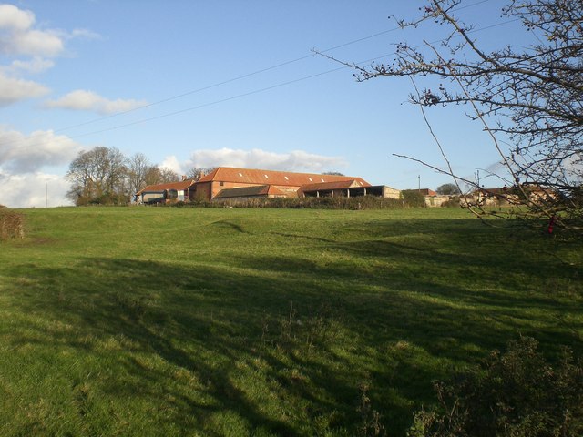
Long Plantation is a historic site located in Norfolk, England. Situated within a dense wood or forest, the plantation is known for its scenic beauty and rich history. The area takes its name from the long stretch of land it encompasses, which is surrounded by lush vegetation and tall trees.
The plantation dates back several centuries and has witnessed numerous significant events throughout its existence. It has been a home to various prominent families, serving as a residence for wealthy landowners and aristocrats. Over time, the plantation has undergone several architectural modifications, reflecting the changing styles and tastes of different eras.
The natural surroundings of the plantation are a major attraction for visitors. The dense forest provides a serene and tranquil atmosphere, making it a popular spot for nature enthusiasts and hikers. The woodland is home to a diverse range of wildlife, including various bird species and small mammals.
Additionally, Long Plantation offers recreational activities such as walking trails and picnic areas for visitors to enjoy. The well-maintained paths allow visitors to explore the plantation's picturesque landscapes and discover hidden gems within the forest.
Long Plantation holds historical significance and is recognized for its cultural heritage. Its preservation efforts ensure that future generations can experience the beauty and history of this remarkable site. Whether one seeks a peaceful retreat or a glimpse into the past, Long Plantation provides a captivating experience for all who venture to this Norfolk gem.
If you have any feedback on the listing, please let us know in the comments section below.
Long Plantation Images
Images are sourced within 2km of 52.873862/0.76750198 or Grid Reference TF8634. Thanks to Geograph Open Source API. All images are credited.


Long Plantation is located at Grid Ref: TF8634 (Lat: 52.873862, Lng: 0.76750198)
Administrative County: Norfolk
District: King's Lynn and West Norfolk
Police Authority: Norfolk
What 3 Words
///simple.routs.scuba. Near Fakenham, Norfolk
Nearby Locations
Related Wikis

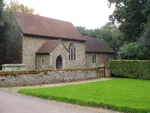
South Creake
South Creake is a village and civil parish in north west Norfolk, England. The village lies 1+1⁄2 miles (2.4 km) south of its twin village of North Creake...

Bloodgate Hill Iron Age Fort
The Bloodgate Hill Iron Age Fort is an Iron Age hill fort in Norfolk, England, situated on a hill above the village of South Creake in the north of the...
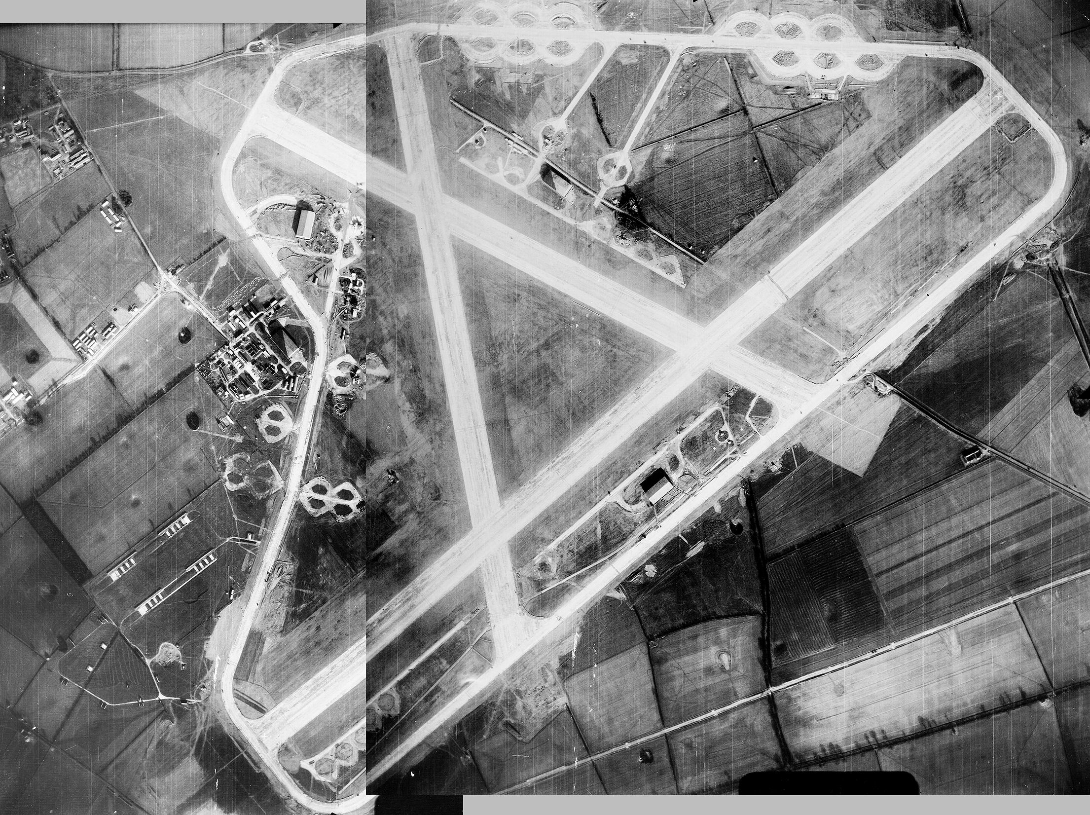
Sculthorpe Training Area
Sculthorpe Training Area, previously Royal Air Force Station Sculthorpe and commonly abbreviated RAF Sculthorpe, is a training site owned by the British...
Waterden medieval settlement
Waterden medieval settlement is a deserted medieval village in Norfolk, England, about 3 miles (4.8 km) west of Walsingham. It is a Scheduled Monument...

Syderstone
Syderstone is a civil parish in the English county of Norfolk, near the town of Fakenham. It has an area of 9.94 km2 (3.84 sq mi). The population of 532...

North Creake
North Creake is a village and civil parish in the north west of the English county of Norfolk. It covers an area of 14.99 km2 (5.79 sq mi) and had a population...

Syderstone Common
Syderstone Common is a 43.7-hectare (108-acre) biological Site of Special Scientific Interest west of Fakenham in Norfolk. An area of 24-hectare (59-acre...
West Barsham
West Barsham is a village and former civil parish, now in the parish of Barsham, in the North Norfolk district, in the county of Norfolk, England. In 1931...
Nearby Amenities
Located within 500m of 52.873862,0.76750198Have you been to Long Plantation?
Leave your review of Long Plantation below (or comments, questions and feedback).