Hook Wood
Wood, Forest in Kent Swale
England
Hook Wood
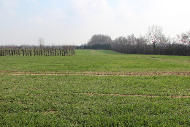
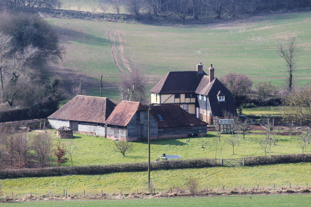
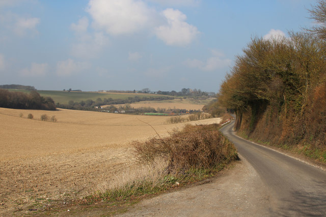
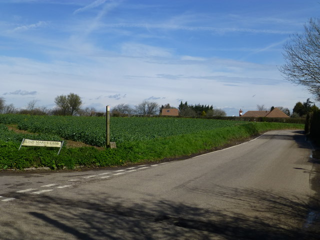
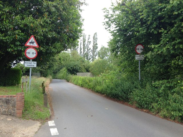
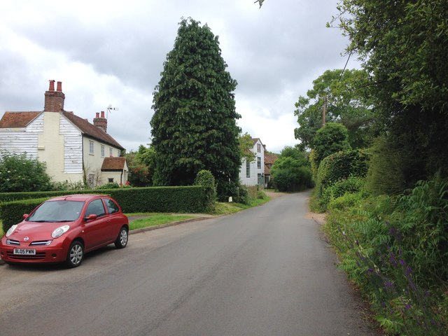
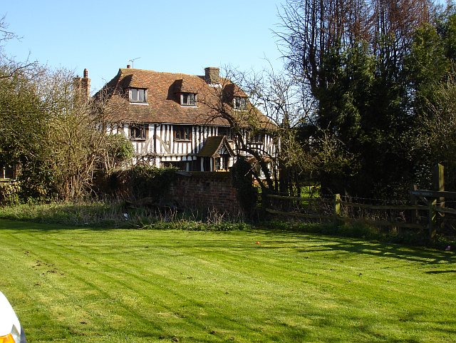
Hook Wood is a beautiful and expansive forest located in the county of Kent, England. Covering an area of approximately 300 acres, it is situated near the village of Hook Green, just a few miles south of the town of Tonbridge. The wood is part of the High Weald Area of Outstanding Natural Beauty, which is known for its stunning landscapes and rich biodiversity.
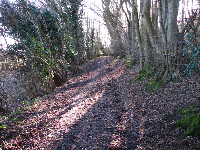
Hook Wood is predominantly composed of mixed deciduous trees, including oak, beech, and ash, creating a diverse and vibrant woodland environment. The ancient trees provide a canopy of shade during the summer months and a stunning display of colors during the autumn season. The forest floor is covered in a thick carpet of ferns, bluebells, and wildflowers, offering a picturesque setting for nature enthusiasts and photographers.
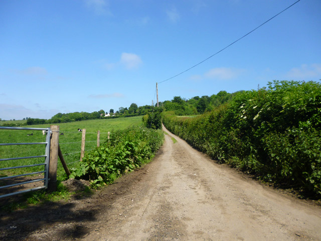
The wood is crisscrossed with a network of well-maintained footpaths, allowing visitors to explore its natural wonders. These pathways lead to various points of interest, including a small stream, a pond, and a few clearings that provide tranquil spots for picnics and relaxation. The area is also home to a range of wildlife, including deer, foxes, badgers, and numerous bird species, making it a popular destination for birdwatchers and wildlife enthusiasts.
Hook Wood offers a peaceful and serene setting, making it a perfect escape from the hustle and bustle of urban life. Whether it is for a leisurely walk, a family outing, or a nature photography expedition, Hook Wood is a haven for those seeking to immerse themselves in the beauty of the natural world.
If you have any feedback on the listing, please let us know in the comments section below.
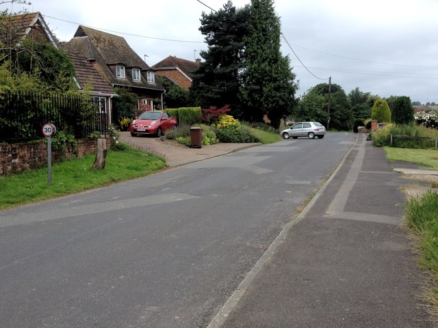
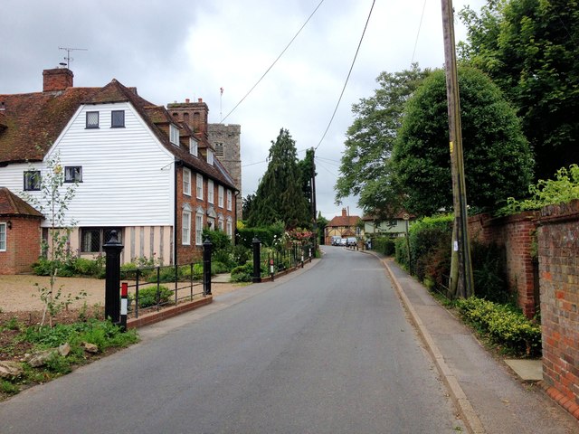
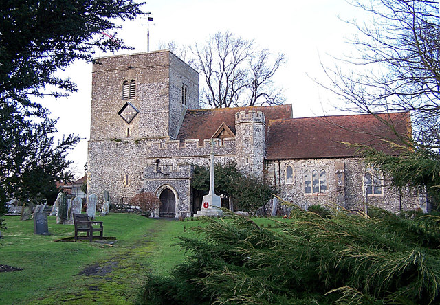
Hook Wood Images
Images are sourced within 2km of 51.308408/0.67125698 or Grid Reference TQ8659. Thanks to Geograph Open Source API. All images are credited.


Hook Wood is located at Grid Ref: TQ8659 (Lat: 51.308408, Lng: 0.67125698)
Administrative County: Kent
District: Swale
Police Authority: Kent
What 3 Words
///husky.chase.recliner. Near Newington, Kent
Nearby Locations
Related Wikis
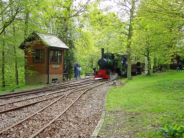
Bredgar and Wormshill Light Railway
The Bredgar and Wormshill Light Railway (BWLR) is located near the villages of Wormshill and Bredgar in Kent, just south of Sittingbourne. It is a 2 ft...

Bicknor
Bicknor is a village and civil parish in the Maidstone district of Kent, England, north-east of Maidstone and south-west of Sittingbourne. It had a population...

Stiff Street
Stiff Street is a hamlet almost on the M2 motorway, near the village of Bredgar, in the Swale District, in the English county of Kent. The nearest town...

Bredgar Hoard
The Bredgar Hoard is a Roman coin hoard found in Bredgar, Kent in 1957. It consisted of 34 gold aurei, the latest of which were from 41 to 42 AD. The coins...

Stockbury
Stockbury is a village and civil parish in the Maidstone district of Kent, England. The population of the civil parish at the Census 2011 was 691.In 1800...

Bredgar
Bredgar is a village and civil parish in the Borough of Swale, Kent, England. == Location == The village lies to the southwest of Sittingbourne on the...
Borden, Kent
Borden is a village and electoral ward situated immediately south west of Sittingbourne, Kent, from which it is separated by a small area of rural land...
Oad Street
Oad Street is a small hamlet in the English county of Kent.Oad Street forms part of the civil parish of Borden which, in turn, is part of Swale district...
Nearby Amenities
Located within 500m of 51.308408,0.67125698Have you been to Hook Wood?
Leave your review of Hook Wood below (or comments, questions and feedback).