Round Wood
Wood, Forest in Kent Swale
England
Round Wood
Round Wood is a charming area located in the county of Kent, in the southeastern region of England. Situated within the vast expanse of the Kent Downs Area of Outstanding Natural Beauty, Round Wood is a picturesque forest that offers visitors a tranquil and peaceful escape from the hustle and bustle of everyday life.
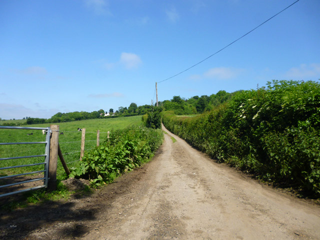
Covering an area of approximately 100 hectares, Round Wood is predominantly made up of broad-leaved woodland, with a diverse range of tree species such as oak, beech, and birch. The forest floor is adorned with a rich carpet of bluebells and other wildflowers during the spring, creating a stunning natural spectacle.
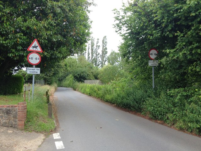
The wood is crisscrossed by a network of well-maintained footpaths, allowing visitors to explore its beauty at their own pace. These pathways offer excellent opportunities for walking, jogging, or simply enjoying a leisurely stroll while immersing oneself in the serenity of nature. Additionally, there are designated areas for picnicking, making Round Wood an ideal spot for a family outing or a peaceful gathering with friends.
Round Wood is also home to a diverse array of wildlife, including various bird species, small mammals, and insects. Birdwatchers will be particularly delighted by the chance to spot species such as woodpeckers, nuthatches, and tawny owls, among others.
Overall, Round Wood in Kent is a hidden gem for nature enthusiasts and those seeking a peaceful retreat. Its beautiful woodland, well-maintained trails, and abundant wildlife make it a must-visit destination for anyone looking to reconnect with nature in a serene and idyllic setting.
If you have any feedback on the listing, please let us know in the comments section below.
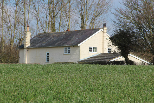
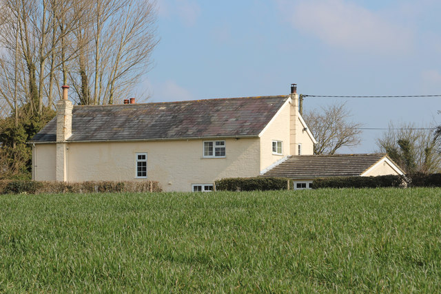
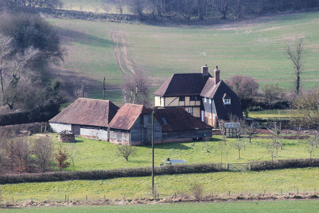
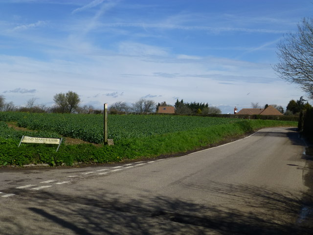
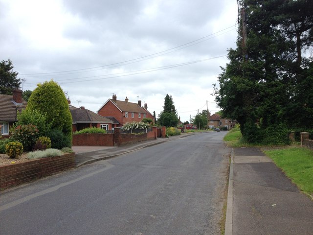
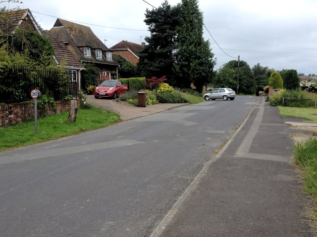
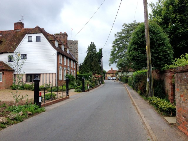
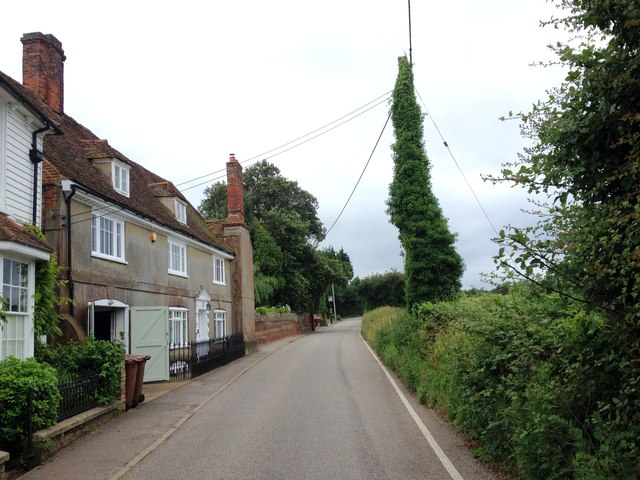
Round Wood Images
Images are sourced within 2km of 51.303522/0.6757223 or Grid Reference TQ8659. Thanks to Geograph Open Source API. All images are credited.


Round Wood is located at Grid Ref: TQ8659 (Lat: 51.303522, Lng: 0.6757223)
Administrative County: Kent
District: Swale
Police Authority: Kent
What 3 Words
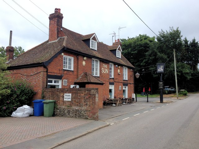
///whites.appointed.salary. Near Newington, Kent
Nearby Locations
Related Wikis
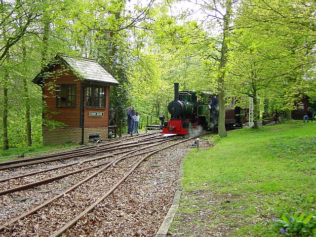
Bredgar and Wormshill Light Railway
The Bredgar and Wormshill Light Railway (BWLR) is located near the villages of Wormshill and Bredgar in Kent, just south of Sittingbourne. It is a 2 ft...

Bicknor
Bicknor is a village and civil parish in the Maidstone district of Kent, England, north-east of Maidstone and south-west of Sittingbourne. It had a population...

Bredgar Hoard
The Bredgar Hoard is a Roman coin hoard found in Bredgar, Kent in 1957. It consisted of 34 gold aurei, the latest of which were from 41 to 42 AD. The coins...

Bredgar
Bredgar is a village and civil parish in the Borough of Swale, Kent, England. == Location == The village lies to the southwest of Sittingbourne on the...

Bedmonton
Bedmonton or Bedmanton is a hamlet situated about five miles (8 km) on a minor road between the B2163 road and Wormshill to the south of Sittingbourne...
Stiff Street
Stiff Street is a hamlet almost on the M2 motorway, near the village of Bredgar, in the Swale District, in the English county of Kent. The nearest town...

Hucking
Hucking is a small hamlet and civil parish in the Maidstone District of Kent, England. It is located 4 miles (6.4 km) north-east of Maidstone and 5 miles...
Borden, Kent
Borden is a village and electoral ward situated immediately south west of Sittingbourne, Kent, from which it is separated by a small area of rural land...
Nearby Amenities
Located within 500m of 51.303522,0.6757223Have you been to Round Wood?
Leave your review of Round Wood below (or comments, questions and feedback).