Ravensdane Shaw
Wood, Forest in Kent Swale
England
Ravensdane Shaw
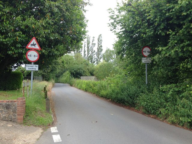
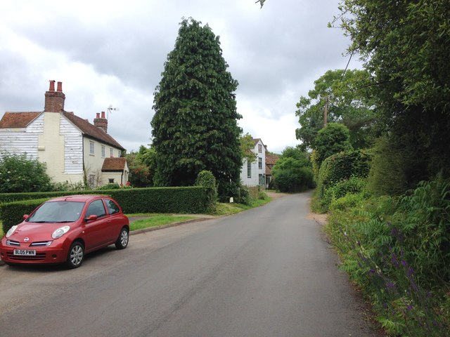
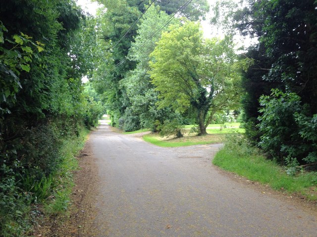
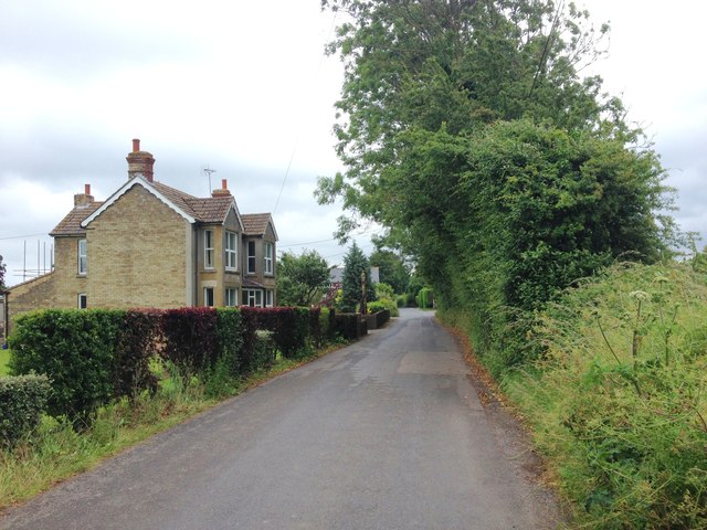
Ravensdane Shaw, located in the county of Kent, is a picturesque woodland area known for its natural beauty and serene atmosphere. Spanning over a vast expanse, this forest is a popular destination for nature enthusiasts and adventurers alike.
Covered in a dense canopy of towering trees, Ravensdane Shaw offers a diverse range of flora and fauna, creating a thriving ecosystem. The forest is home to a variety of plant species, including oak, beech, and chestnut trees, which provide a habitat for numerous animals such as deer, foxes, and squirrels. Birdwatchers will be delighted by the presence of various avian species, including ravens, owls, and woodpeckers.
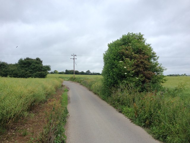
The forest is crisscrossed by a network of well-maintained walking trails, allowing visitors to explore its hidden gems. These trails showcase the natural wonders of the forest, including babbling brooks, meandering streams, and tranquil ponds. Along the way, hikers can discover charming picnic spots and rest areas, perfect for enjoying a leisurely break amidst the peaceful surroundings.
Ravensdane Shaw also offers recreational activities such as cycling, horseback riding, and camping, making it an ideal destination for outdoor enthusiasts. The forest is equipped with designated camping areas that provide basic facilities for overnight stays, allowing visitors to immerse themselves in the tranquility of the woods.
With its unspoiled beauty and diverse wildlife, Ravensdane Shaw, Kent, is a haven for those seeking solace in nature. Whether one wishes to embark on a peaceful stroll, observe wildlife, or engage in outdoor activities, this enchanting woodland promises a memorable experience for all who venture within its boundaries.
If you have any feedback on the listing, please let us know in the comments section below.
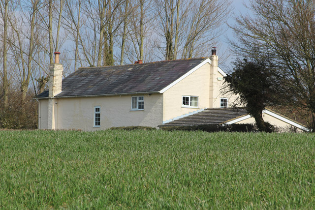
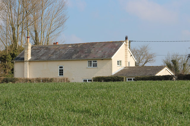
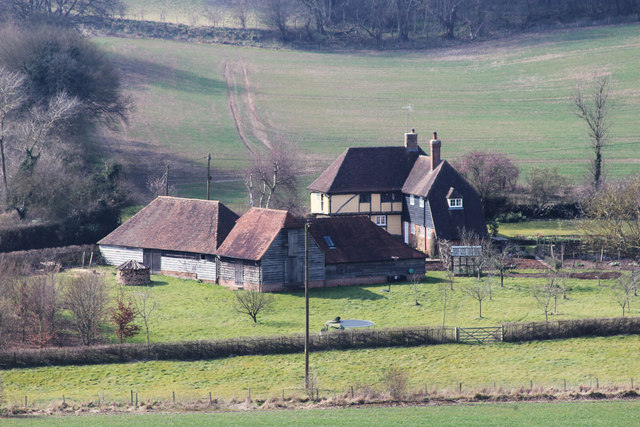
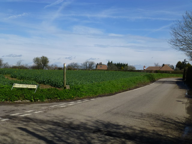
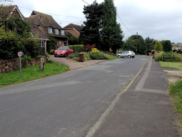
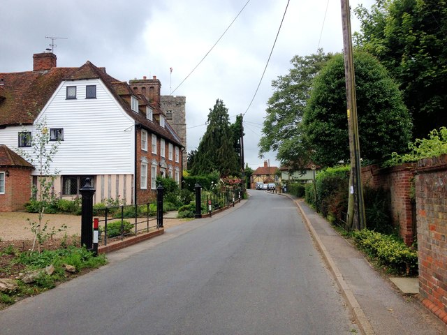
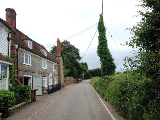
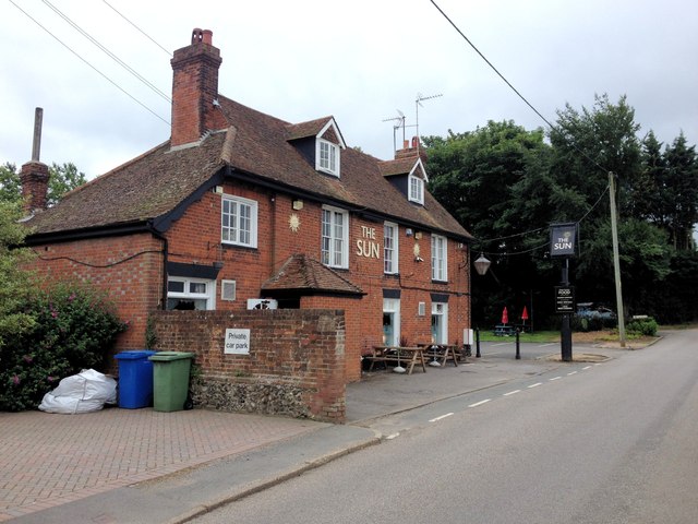
Ravensdane Shaw Images
Images are sourced within 2km of 51.302367/0.67665945 or Grid Reference TQ8659. Thanks to Geograph Open Source API. All images are credited.


Ravensdane Shaw is located at Grid Ref: TQ8659 (Lat: 51.302367, Lng: 0.67665945)
Administrative County: Kent
District: Swale
Police Authority: Kent
What 3 Words
///ballpoint.fits.plankton. Near Newington, Kent
Nearby Locations
Related Wikis
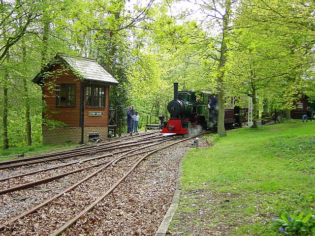
Bredgar and Wormshill Light Railway
The Bredgar and Wormshill Light Railway (BWLR) is located near the villages of Wormshill and Bredgar in Kent, just south of Sittingbourne. It is a 2 ft...

Bicknor
Bicknor is a village and civil parish in the Maidstone district of Kent, England, north-east of Maidstone and south-west of Sittingbourne. It had a population...

Bedmonton
Bedmonton or Bedmanton is a hamlet situated about five miles (8 km) on a minor road between the B2163 road and Wormshill to the south of Sittingbourne...

Bredgar Hoard
The Bredgar Hoard is a Roman coin hoard found in Bredgar, Kent in 1957. It consisted of 34 gold aurei, the latest of which were from 41 to 42 AD. The coins...

Bredgar
Bredgar is a village and civil parish in the Borough of Swale, Kent, England. == Location == The village lies to the southwest of Sittingbourne on the...
Stiff Street
Stiff Street is a hamlet almost on the M2 motorway, near the village of Bredgar, in the Swale District, in the English county of Kent. The nearest town...

Hucking
Hucking is a small hamlet and civil parish in the Maidstone District of Kent, England. It is located 4 miles (6.4 km) north-east of Maidstone and 5 miles...
Borden, Kent
Borden is a village and electoral ward situated immediately south west of Sittingbourne, Kent, from which it is separated by a small area of rural land...
Nearby Amenities
Located within 500m of 51.302367,0.67665945Have you been to Ravensdane Shaw?
Leave your review of Ravensdane Shaw below (or comments, questions and feedback).