Ashen Wood

Wood, Forest in Suffolk Babergh

England

Ashen Wood

Church of All Saints, Lawshall A largely fifteenth century church <span class="nowrap"><a title="https://historicengland.org.uk/listing/the-list/list-entry/1036594" rel="nofollow ugc noopener" href="https://historicengland.org.uk/listing/the-list/list-entry/1036594">Link</a><img style="margin-left:2px;" alt="External link" title="External link - shift click to open in new window" src="https://s1.geograph.org.uk/img/external.png" width="10" height="10"/></span>
Church of All Saints, Lawshall Credit: Jonathan Thacker

Ashen Wood is a picturesque forest located in Suffolk, England. Covering an area of approximately 100 acres, it is known for its serene beauty and diverse flora and fauna. The wood is nestled within a rural landscape, surrounded by rolling hills and agricultural fields, providing a tranquil escape for nature enthusiasts and hikers alike.

The forest comprises a mix of deciduous and coniferous trees, creating a rich and vibrant ecosystem. Ancient oak and beech trees dominate the woodland, their towering trunks and sprawling branches providing a habitat for a variety of bird species, including woodpeckers and owls. The forest floor is carpeted with an array of wildflowers and ferns, adding splashes of color and texture to the landscape.

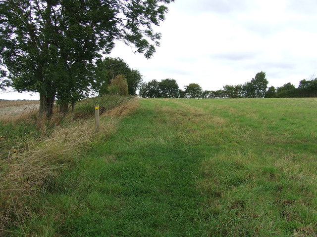
Ashen Wood is crisscrossed with a network of well-maintained trails, making it a popular destination for outdoor enthusiasts. These paths wind through the forest, taking visitors on a journey through the heart of nature. Along the way, walkers may encounter deer, foxes, and other small mammals that call the wood their home.

For those interested in the history of the area, Ashen Wood has archaeological significance. The presence of ancient burial mounds and remnants of Iron Age settlements provide insights into the human occupation of the region throughout the centuries.

Overall, Ashen Wood offers a peaceful retreat for those seeking to connect with nature. Its diverse ecosystem, scenic beauty, and historical significance make it a must-visit destination for both locals and tourists in Suffolk.

If you have any feedback on the listing, please let us know in the comments section below.
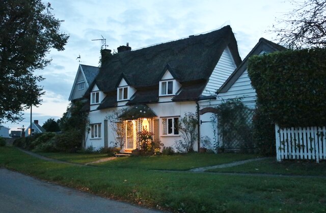
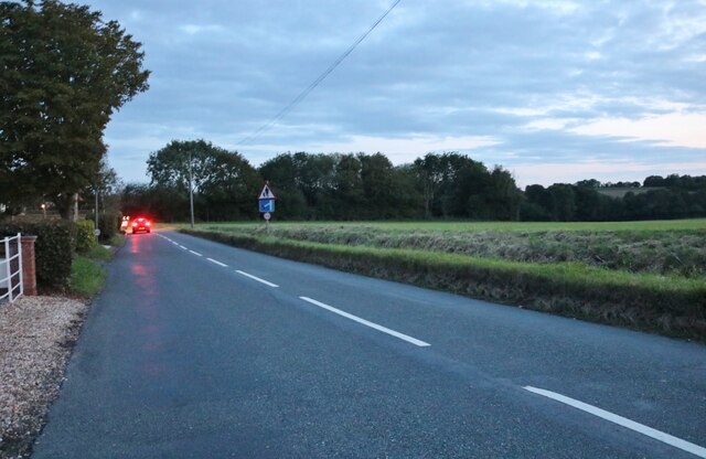
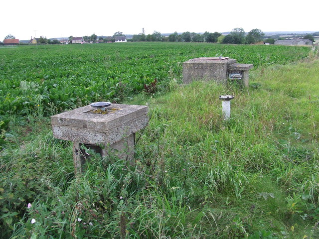
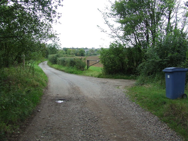
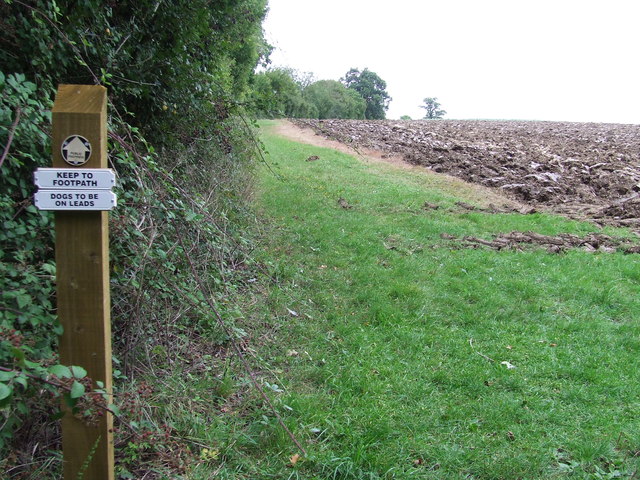
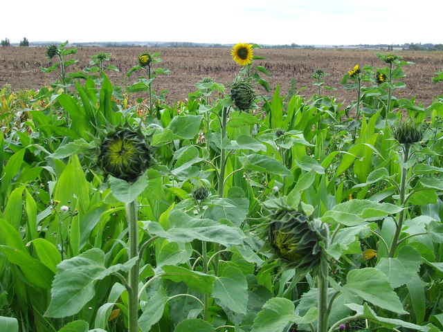
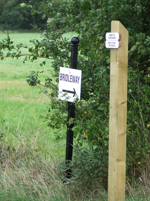
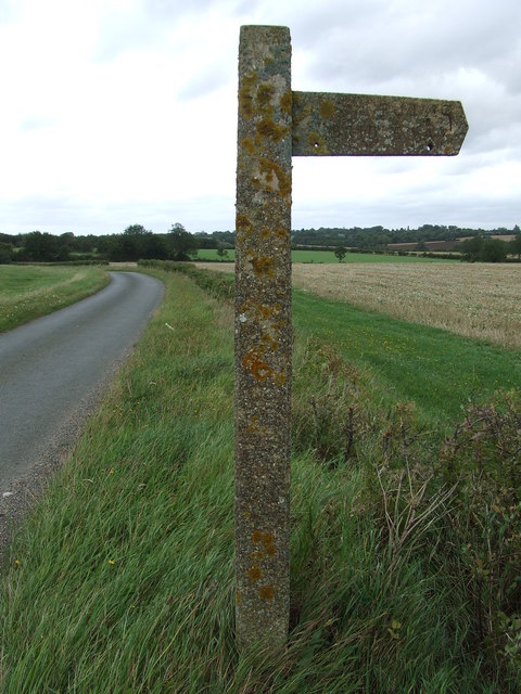
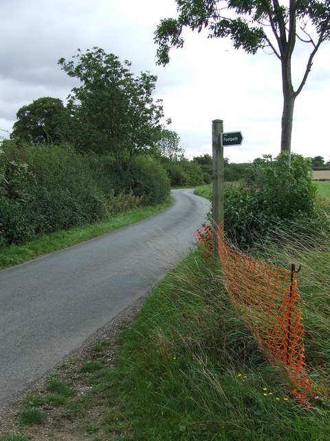
Ashen Wood Images

Images are sourced within 2km of 52.143369/0.70177951 or Grid Reference TL8452. Thanks to Geograph Open Source API. All images are credited.

Church of All Saints, Lawshall A largely fifteenth century church <span class="nowrap"><a title="https://historicengland.org.uk/listing/the-list/list-entry/1036594" rel="nofollow ugc noopener" href="https://historicengland.org.uk/listing/the-list/list-entry/1036594">Link</a><img style="margin-left:2px;" alt="External link" title="External link - shift click to open in new window" src="https://s1.geograph.org.uk/img/external.png" width="10" height="10"/></span>
Church of All Saints, Lawshall
A largely fifteenth century church LinkExternal link
Cottage on Workhouse Hill, Hartest
Brockley Road, Cross Green
Part of Cooks Farm
Part of Cooks Farm
Shimpling Road, heading towards Lawshall
The village sign at Lawshall
Road junction in Lawshall This junction is actually a crossroads.  The road to the right is Melford Road with Bury Road off to the left.  Straight ahead is Lambs Lane and opposite is Golden Lane.
Road junction in Lawshall
This junction is actually a crossroads. The road to the right is Melford Road with Bury Road off to the left. Straight ahead is Lambs Lane and opposite is Golden Lane.
Footpath Sign Post Footpath sign post near to Hartest, Suffolk.
Footpath Sign Post
Footpath sign post near to Hartest, Suffolk.
Old AA Sign Old AA road sign near to Hartest
Old AA Sign
Old AA road sign near to Hartest
Footpath To Chadacre Park Footpath looking east between Hartest Hill and Chadacre Park near to Hartest, Suffolk
Footpath To Chadacre Park
Footpath looking east between Hartest Hill and Chadacre Park near to Hartest, Suffolk
Nuclear Monitoring Post Surface parts of a now unused Royal Observer Corps nuclear monitoring post near to Hartest, Suffolk see <span class="nowrap"><a title="http://www.subbrit.org.uk/rsg/roc/db/988807445.019002.html" rel="nofollow ugc noopener" href="http://www.subbrit.org.uk/rsg/roc/db/988807445.019002.html">Link</a><img style="margin-left:2px;" alt="External link" title="External link - shift click to open in new window" src="https://s1.geograph.org.uk/img/external.png" width="10" height="10"/></span> and <span class="nowrap"><a title="http://en.wikipedia.org/wiki/Royal_Observer_Corps_Monitoring_Post" rel="nofollow ugc noopener" href="http://en.wikipedia.org/wiki/Royal_Observer_Corps_Monitoring_Post">Link</a><img style="margin-left:2px;" alt="External link" title="External link - shift click to open in new window" src="https://s1.geograph.org.uk/img/external.png" width="10" height="10"/></span> for more info.
Nuclear Monitoring Post
Surface parts of a now unused Royal Observer Corps nuclear monitoring post near to Hartest, Suffolk see LinkExternal link and LinkExternal link for more info.
Barns Barns at Lord's Farm near to Hartest, Suffolk.
Barns
Barns at Lord's Farm near to Hartest, Suffolk.
Start Of Public Road Start of the public road near to Hartest, Suffolk.
Start Of Public Road
Start of the public road near to Hartest, Suffolk.
Keep To Footpath Local signs added to public footpath sign near to Hartest, Suffolk.
Keep To Footpath
Local signs added to public footpath sign near to Hartest, Suffolk.
Sunflowers Sunflowers near to Hartest, Suffolk.
Sunflowers
Sunflowers near to Hartest, Suffolk.
Local signs Local sign plus a public footpath sign near to Hartest, Suffolk.
Local signs
Local sign plus a public footpath sign near to Hartest, Suffolk.
Concrete Footpath Sign Concrete footpath sign off Lawshall Road near to Hartest, Suffolk. This must be the only concrete footpath sign I have seen in Suffolk as they seem to use only wooden ones. They are a very common sight in the neighbouring county of Essex.
Concrete Footpath Sign
Concrete footpath sign off Lawshall Road near to Hartest, Suffolk. This must be the only concrete footpath sign I have seen in Suffolk as they seem to use only wooden ones. They are a very common sight in the neighbouring county of Essex.
Footpath Sign Lawshall Road and footpath sign near to Hartest, Suffolk.
Footpath Sign
Lawshall Road and footpath sign near to Hartest, Suffolk.
Show me another place!

Ashen Wood is located at Grid Ref: TL8452 (Lat: 52.143369, Lng: 0.70177951)

Administrative County: Suffolk

District: Babergh

Police Authority: Suffolk

What 3 Words

///noon.hosts.situates. Near Glemsford, Suffolk

Nearby Locations

Bavins Wood Ashen Wood

Related Wikis

Audley End, Suffolk

Audley End is a hamlet in the civil parish of Lawshall in the Babergh district in the county of Suffolk, England. It is located between Lambs Lane and...

Frithy and Chadacre Woods

Frithy and Chadacre Woods is a 28.7-hectare (71-acre) biological Site of Special Scientific Interest (SSSI) in the parishes of Lawshall and Shimpling in...

Hartest

Hartest is a small village and civil parish in the Babergh district of the English county of Suffolk. It is located halfway between Bury St. Edmunds and...

Shimpling

Shimpling is a village and civil parish in south Suffolk, England. About 7 miles (11 km) from Bury St Edmunds, it is part of Babergh district. The village...

Nearby Amenities

Located within 500m of 52.143369,0.70177951
Power: pole
Lat/Long: 52.1448295/0.6954096
Power: pole
Lat/Long: 52.1454583/0.6967708
Power: pole
Lat/Long: 52.1460072/0.6979993
Power: pole
Lat/Long: 52.146631/0.6993189
Power: pole
Lat/Long: 52.1473865/0.7008599
The data included in this document is from www.openstreetmap.org. The data is made available under ODbL.

Have you been to Ashen Wood?

Leave your review of Ashen Wood below (or comments, questions and feedback).