Bavins Wood

Wood, Forest in Suffolk Babergh

England

Bavins Wood

Cottage on Workhouse Hill, Hartest
Cottage on Workhouse Hill, Hartest Credit: David Howard

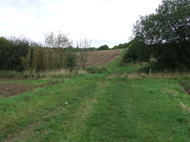
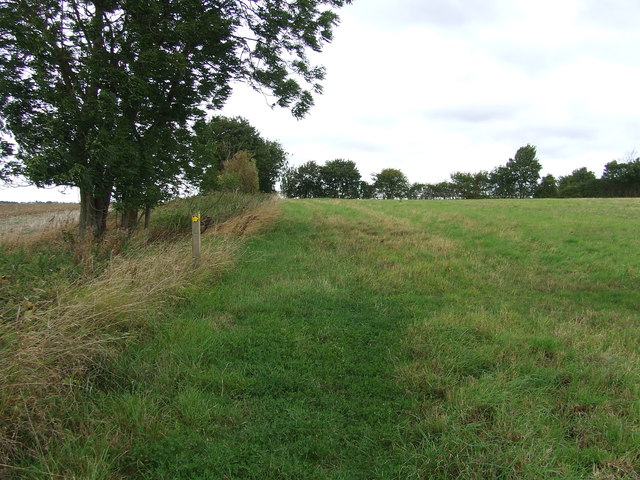
Bavins Wood is a picturesque forest located in the county of Suffolk, England. Covering an area of approximately 100 acres, this woodland is a haven for nature lovers and outdoor enthusiasts alike. It is situated near the village of Bavins and is easily accessible from the surrounding towns.

The forest is predominantly composed of native tree species, including oak, beech, and birch trees, which create a dense and diverse canopy. The woodland floor is adorned with a rich tapestry of wildflowers, ferns, and mosses, adding to the enchanting atmosphere of the wood.

Bavins Wood is home to a variety of wildlife, making it a popular destination for birdwatchers and wildlife enthusiasts. Visitors may spot species such as woodpeckers, owls, and various songbirds, along with small mammals like squirrels and rabbits. Lucky visitors might even catch a glimpse of deer or foxes that occasionally wander into the forest.

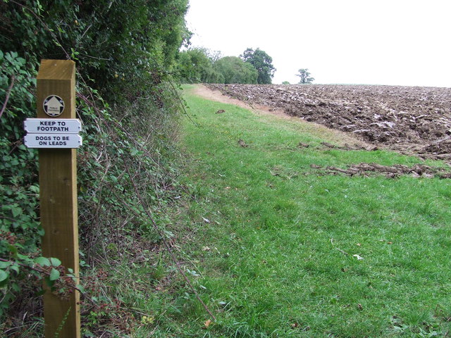
The wood offers numerous trails and pathways, allowing visitors to explore its beauty at their own pace. These well-maintained paths wind through the forest, leading to hidden clearings, babbling brooks, and peaceful picnic spots. Bavins Wood also features a designated picnic area with tables and benches, providing a perfect spot to enjoy a packed lunch while surrounded by nature.

The forest is managed by the Bavins Wood Trust, a local conservation organization dedicated to preserving the woodland's natural beauty and biodiversity. The trust organizes regular events and activities, such as guided nature walks and educational programs for children.

In summary, Bavins Wood in Suffolk is a captivating woodland, offering visitors a chance to immerse themselves in the beauty of nature and discover the diverse wildlife that calls this forest home.

If you have any feedback on the listing, please let us know in the comments section below.

Bavins Wood Images

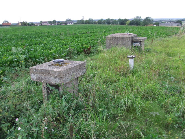
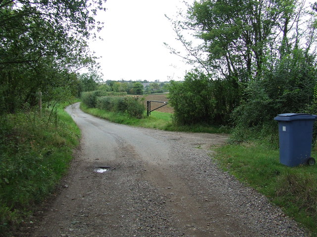
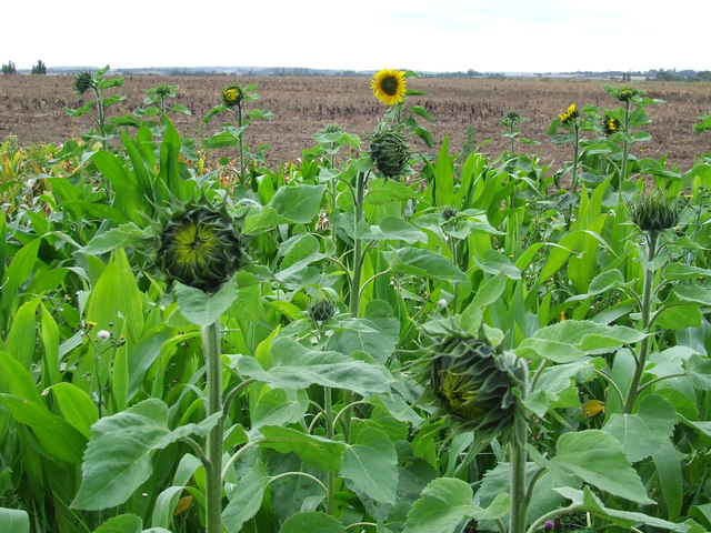
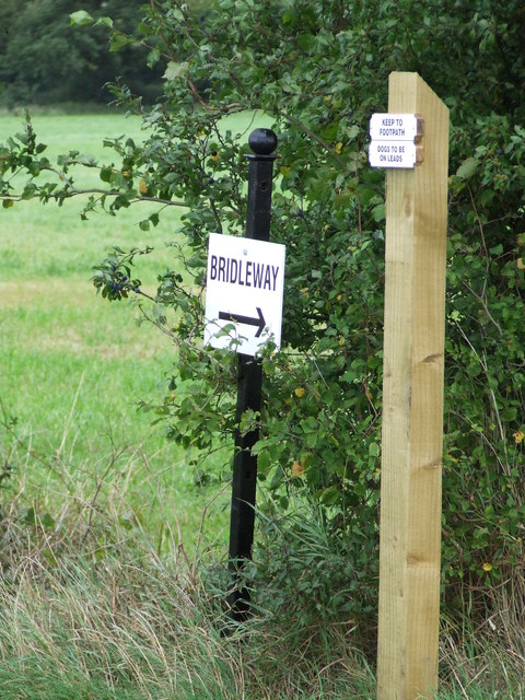
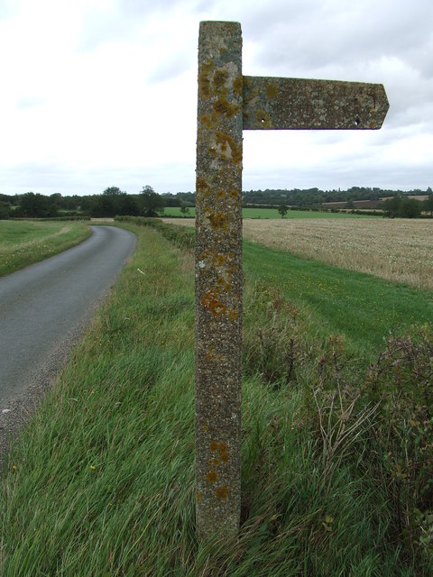
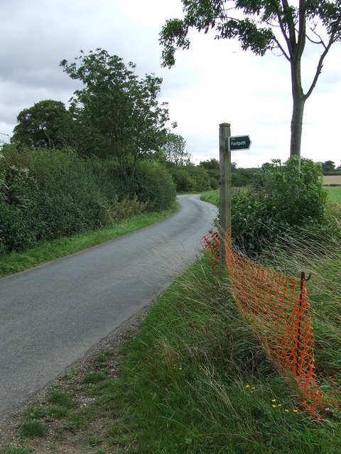
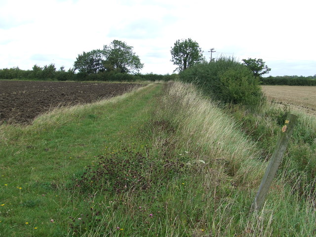
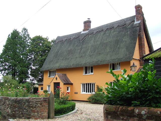
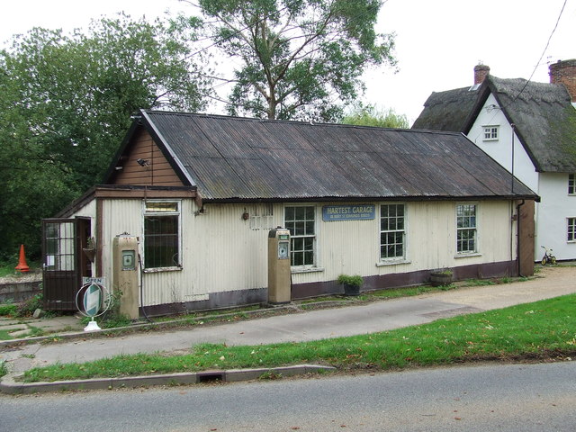
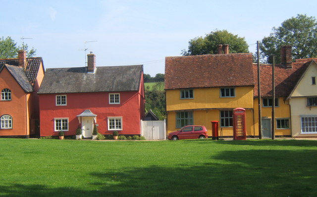
Images are sourced within 2km of 52.137614/0.70018881 or Grid Reference TL8452. Thanks to Geograph Open Source API. All images are credited.

Cottage on Workhouse Hill, Hartest
Brockley Road, Cross Green
Part of Cooks Farm
Part of Cooks Farm
Footpath Junction Footpath junction near to Boxted, Suffolk.
Footpath Junction
Footpath junction near to Boxted, Suffolk.
Footpath Sign Post Footpath sign post near to Hartest, Suffolk.
Footpath Sign Post
Footpath sign post near to Hartest, Suffolk.
Old AA Sign Old AA road sign near to Hartest
Old AA Sign
Old AA road sign near to Hartest
Footpath To Chadacre Park Footpath looking east between Hartest Hill and Chadacre Park near to Hartest, Suffolk
Footpath To Chadacre Park
Footpath looking east between Hartest Hill and Chadacre Park near to Hartest, Suffolk
Nuclear Monitoring Post Surface parts of a now unused Royal Observer Corps nuclear monitoring post near to Hartest, Suffolk see <span class="nowrap"><a title="http://www.subbrit.org.uk/rsg/roc/db/988807445.019002.html" rel="nofollow ugc noopener" href="http://www.subbrit.org.uk/rsg/roc/db/988807445.019002.html">Link</a><img style="margin-left:2px;" alt="External link" title="External link - shift click to open in new window" src="https://s1.geograph.org.uk/img/external.png" width="10" height="10"/></span> and <span class="nowrap"><a title="http://en.wikipedia.org/wiki/Royal_Observer_Corps_Monitoring_Post" rel="nofollow ugc noopener" href="http://en.wikipedia.org/wiki/Royal_Observer_Corps_Monitoring_Post">Link</a><img style="margin-left:2px;" alt="External link" title="External link - shift click to open in new window" src="https://s1.geograph.org.uk/img/external.png" width="10" height="10"/></span> for more info.
Nuclear Monitoring Post
Surface parts of a now unused Royal Observer Corps nuclear monitoring post near to Hartest, Suffolk see LinkExternal link and LinkExternal link for more info.
Barns Barns at Lord's Farm near to Hartest, Suffolk.
Barns
Barns at Lord's Farm near to Hartest, Suffolk.
Start Of Public Road Start of the public road near to Hartest, Suffolk.
Start Of Public Road
Start of the public road near to Hartest, Suffolk.
Keep To Footpath Local signs added to public footpath sign near to Hartest, Suffolk.
Keep To Footpath
Local signs added to public footpath sign near to Hartest, Suffolk.
Sunflowers Sunflowers near to Hartest, Suffolk.
Sunflowers
Sunflowers near to Hartest, Suffolk.
Local signs Local sign plus a public footpath sign near to Hartest, Suffolk.
Local signs
Local sign plus a public footpath sign near to Hartest, Suffolk.
Concrete Footpath Sign Concrete footpath sign off Lawshall Road near to Hartest, Suffolk. This must be the only concrete footpath sign I have seen in Suffolk as they seem to use only wooden ones. They are a very common sight in the neighbouring county of Essex.
Concrete Footpath Sign
Concrete footpath sign off Lawshall Road near to Hartest, Suffolk. This must be the only concrete footpath sign I have seen in Suffolk as they seem to use only wooden ones. They are a very common sight in the neighbouring county of Essex.
Footpath Sign Lawshall Road and footpath sign near to Hartest, Suffolk.
Footpath Sign
Lawshall Road and footpath sign near to Hartest, Suffolk.
Footpath Footpath looking north near to Hartest, Suffolk.
Footpath
Footpath looking north near to Hartest, Suffolk.
The Hatch Cottage called The Hatch Cross Green, Suffolk.
The Hatch
Cottage called The Hatch Cross Green, Suffolk.
Hartest Garage Hartest garage Hartest, Suffolk.
Hartest Garage
Hartest garage Hartest, Suffolk.
Show me another place!

Bavins Wood is located at Grid Ref: TL8452 (Lat: 52.137614, Lng: 0.70018881)

Administrative County: Suffolk

District: Babergh

Police Authority: Suffolk

What 3 Words

///styled.waltzes.fearfully. Near Glemsford, Suffolk

Nearby Locations

Ashen Wood Bavins Wood

Related Wikis

Audley End, Suffolk

Audley End is a hamlet in the civil parish of Lawshall in the Babergh district in the county of Suffolk, England. It is located between Lambs Lane and...

Hartest

Hartest is a small village and civil parish in the Babergh district of the English county of Suffolk. It is located halfway between Bury St. Edmunds and...

Shimpling

Shimpling is a village and civil parish in south Suffolk, England. About 7 miles (11 km) from Bury St Edmunds, it is part of Babergh district. The village...

Frithy and Chadacre Woods

Frithy and Chadacre Woods is a 28.7-hectare (71-acre) biological Site of Special Scientific Interest (SSSI) in the parishes of Lawshall and Shimpling in...

Have you been to Bavins Wood?

Leave your review of Bavins Wood below (or comments, questions and feedback).