Cradle Shaw
Wood, Forest in Kent Swale
England
Cradle Shaw
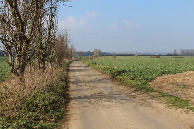
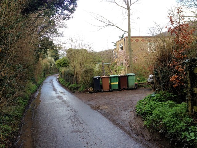
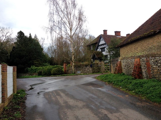
Cradle Shaw is a picturesque woodland area located in Kent, England. Nestled within the larger Kent Downs Area of Outstanding Natural Beauty, Cradle Shaw offers visitors a serene and tranquil setting to explore.
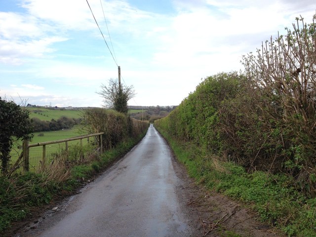
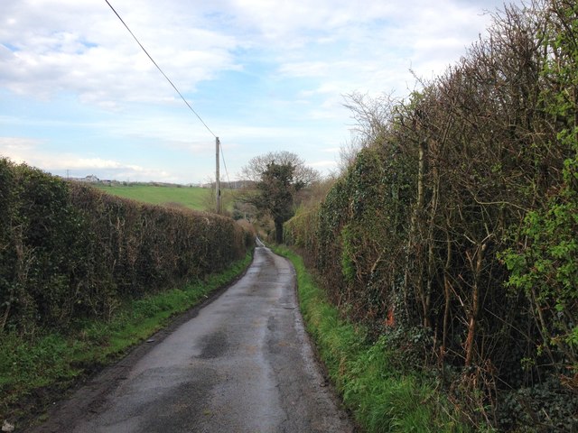
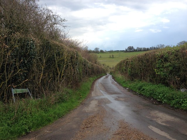
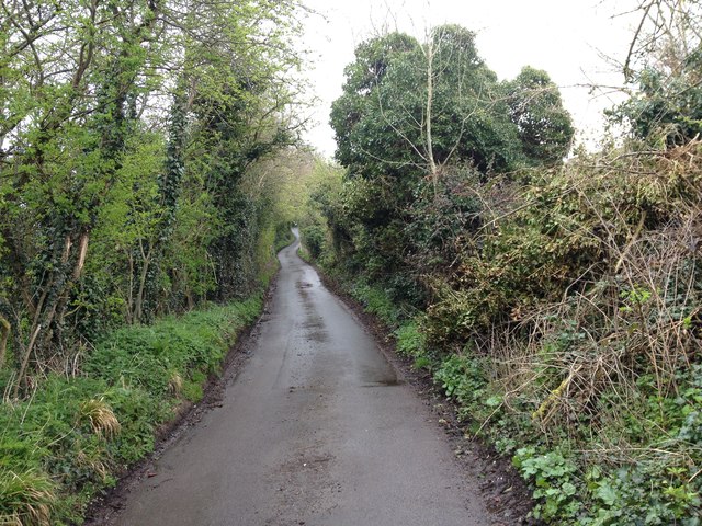
The woodland is characterized by its dense, lush canopy of trees, predominantly consisting of oak, beech, and ash. These tall and majestic trees provide shade and create an enchanting atmosphere. The forest floor is covered in a thick layer of moss and fallen leaves, giving the area a vibrant green appearance throughout the year.
Cradle Shaw is home to a diverse range of wildlife, including deer, foxes, badgers, and an array of bird species. Nature enthusiasts can enjoy observing these animals in their natural habitat, as well as the various plant species that thrive in the woodland.
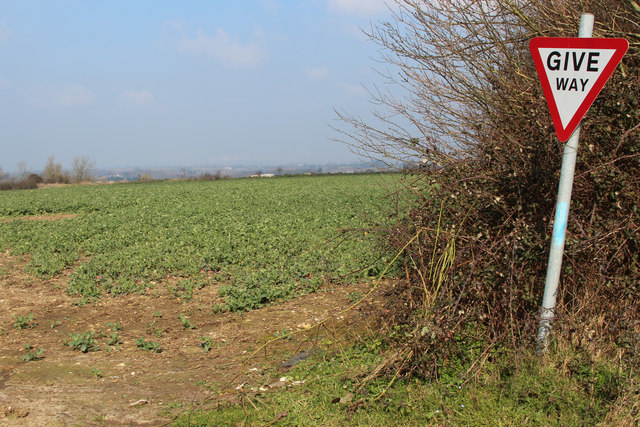
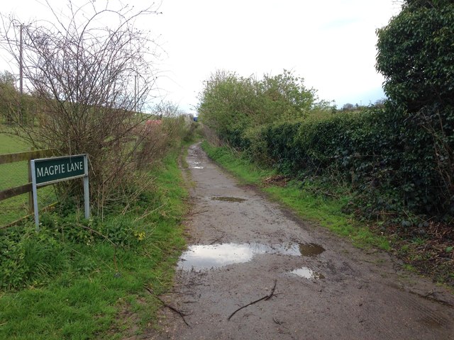
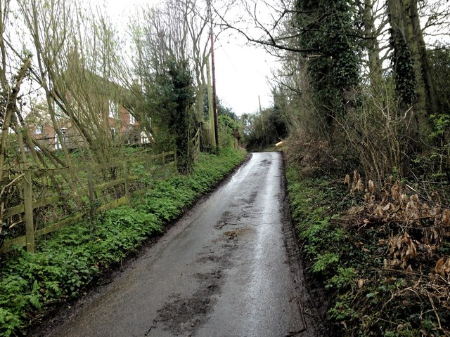
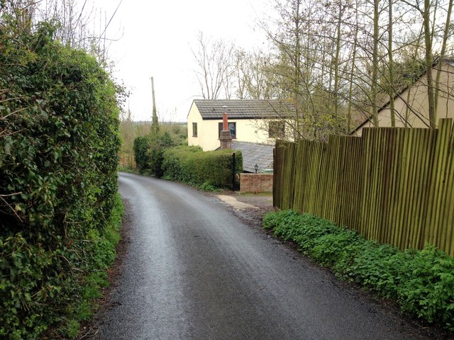
The area is intersected by a network of walking trails, allowing visitors to explore the forest at their own pace. These trails offer opportunities for both leisurely strolls and more challenging hikes, catering to visitors of all fitness levels. Along the way, visitors can discover hidden waterfalls, babbling brooks, and stunning viewpoints.
Cradle Shaw is a popular destination for outdoor activities such as picnicking, birdwatching, and photography. It is also a haven for those seeking solitude and a peaceful escape from the bustle of everyday life.
Overall, Cradle Shaw, Kent (Wood, Forest) is a natural treasure that offers a rich and immersive experience for nature lovers, hikers, and anyone seeking a connection with the great outdoors.
If you have any feedback on the listing, please let us know in the comments section below.
Cradle Shaw Images
Images are sourced within 2km of 51.332704/0.62497542 or Grid Reference TQ8262. Thanks to Geograph Open Source API. All images are credited.
Cradle Shaw is located at Grid Ref: TQ8262 (Lat: 51.332704, Lng: 0.62497542)
Administrative County: Kent
District: Swale
Police Authority: Kent
What 3 Words
///sooner.feast.sonic. Near Rainham, Kent
Nearby Locations
Related Wikis

Queendown Warren
Queendown Warren is a 22.2-hectare (55-acre) biological Site of Special Scientific Interest south-east of Rainham in Kent. It is a Local Nature Reserve...

Yelsted
Yelsted is a hamlet in the Borough of Maidstone, in the county of Kent, England. In 1800, Edward Hasted noted that it was spelt Gillested. It was a manor...
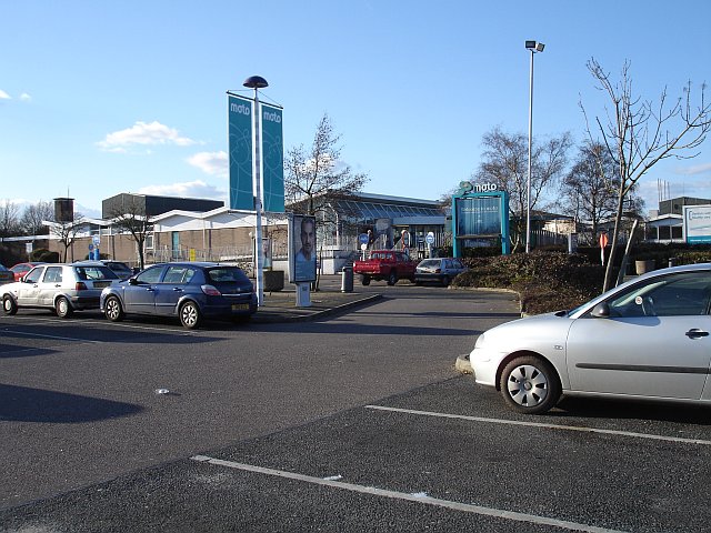
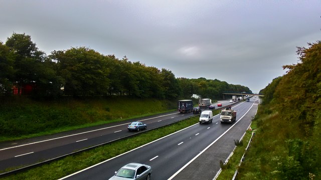
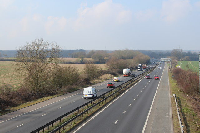
Medway services
Medway is a service area on the M2 motorway south of Medway, near Junction 4 in Kent, southeast England. It is managed by Moto and was previously named...

Purple Hill
Purple Hill is a 14.9-hectare (37-acre) biological Site of Special Scientific Interest south of Gillingham in Kent. It is a Nature Conservation Review...
Nearby Amenities
Located within 500m of 51.332704,0.62497542Have you been to Cradle Shaw?
Leave your review of Cradle Shaw below (or comments, questions and feedback).