Yelsted
Settlement in Kent Maidstone
England
Yelsted
Yelsted is a small village located in the county of Kent, in southeastern England. Situated approximately 7 miles east of the historic city of Maidstone, Yelsted is nestled amidst the picturesque Kent countryside, characterized by rolling hills and lush farmland.
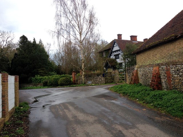
The village itself is quite small, with a population of around 200 residents. It is predominantly a residential area, with a few local amenities including a village hall and a church. The church, dedicated to St. Bartholomew, is an ancient structure dating back to the 12th century, and is a prominent landmark in the village.
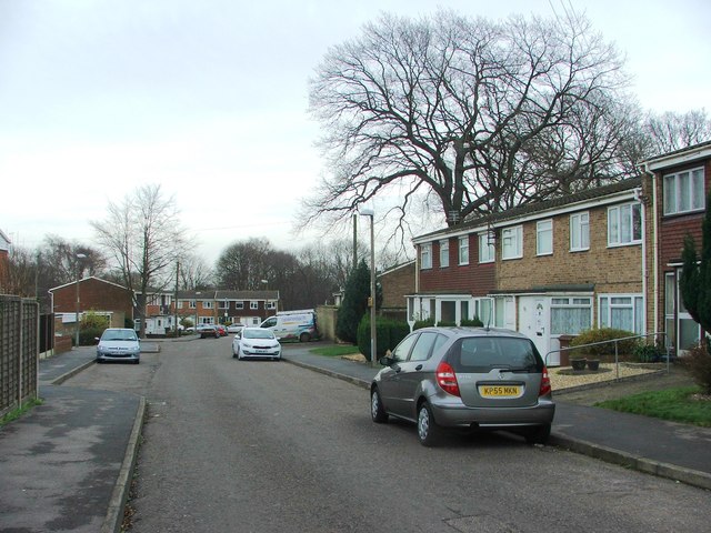
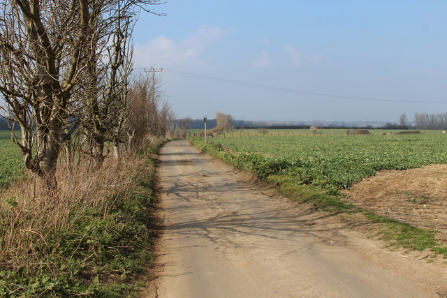
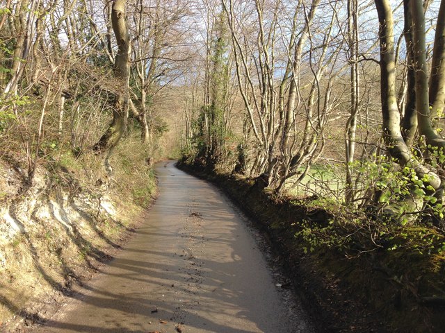
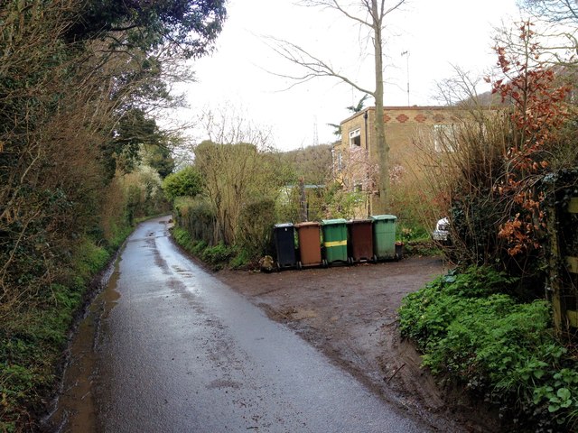
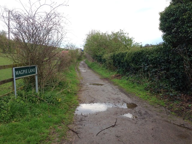
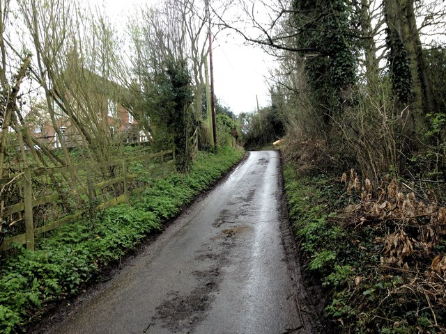
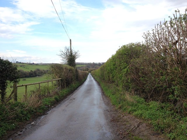
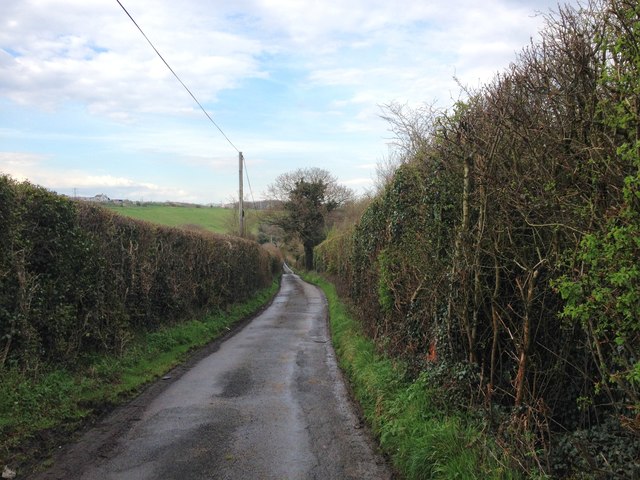
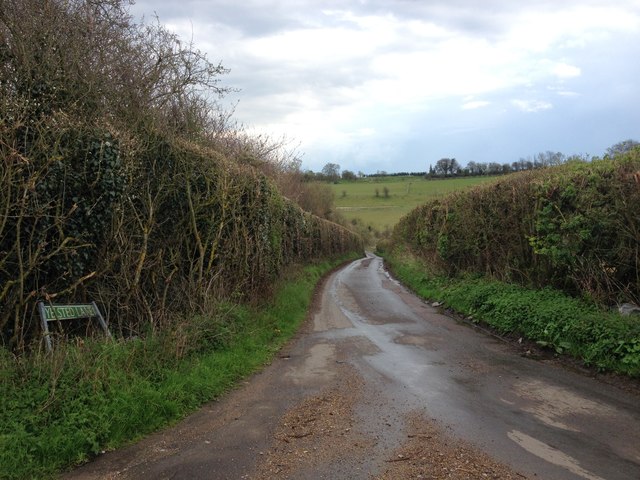
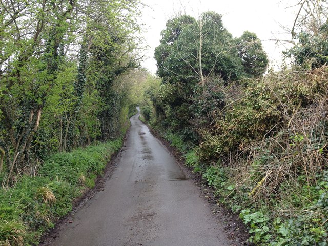
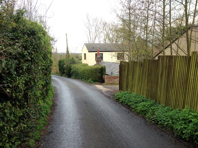
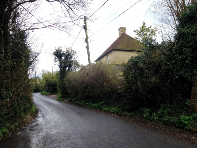
Yelsted offers a tranquil and idyllic setting, with its charming village houses and quaint cottages surrounded by green fields and woodland. The village is surrounded by beautiful countryside, making it an ideal location for those who enjoy outdoor activities such as hiking, cycling, and horse riding.
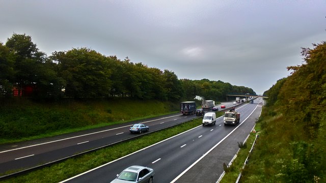
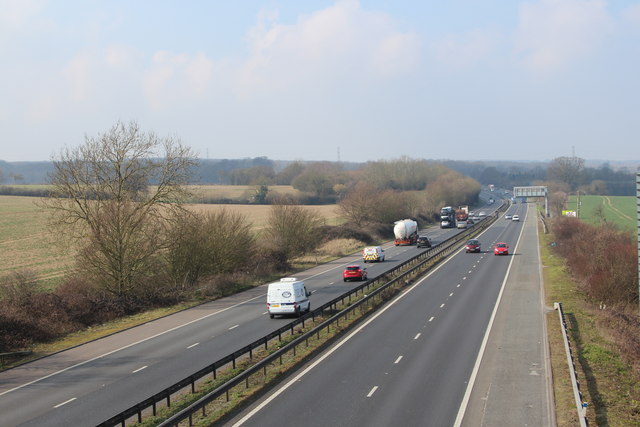
The village is well-connected to neighboring towns and cities, with the A249 road passing nearby, providing easy access to Maidstone and the wider county of Kent. The nearby town of Sittingbourne, approximately 6 miles to the northeast, offers a range of amenities and services including shops, schools, and leisure facilities.
Overall, Yelsted is a peaceful and scenic village, offering a rural lifestyle with easy access to nearby towns and cities. Its charming character and beautiful surroundings make it an attractive place to live for those seeking a tranquil countryside retreat.
If you have any feedback on the listing, please let us know in the comments section below.
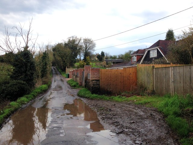
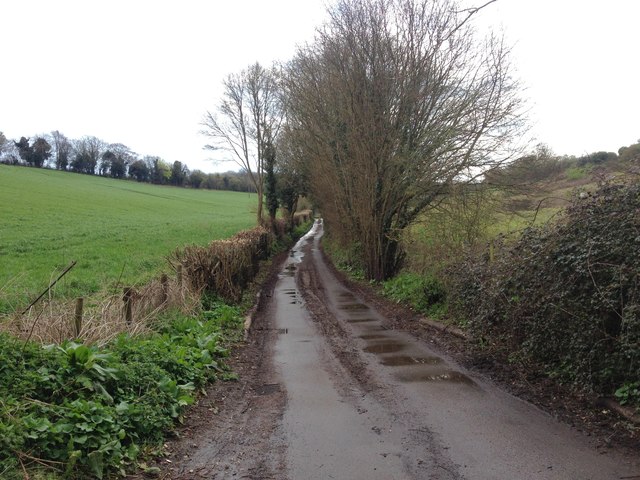
Yelsted Images
Images are sourced within 2km of 51.330502/0.61770017 or Grid Reference TQ8262. Thanks to Geograph Open Source API. All images are credited.
Yelsted is located at Grid Ref: TQ8262 (Lat: 51.330502, Lng: 0.61770017)
Administrative County: Kent
District: Maidstone
Police Authority: Kent
What 3 Words
///reckons.paused.pancake. Near Rainham, Kent
Nearby Locations
Related Wikis

Yelsted
Yelsted is a hamlet in the Borough of Maidstone, in the county of Kent, England. In 1800, Edward Hasted noted that it was spelt Gillested. It was a manor...

Queendown Warren
Queendown Warren is a 22.2-hectare (55-acre) biological Site of Special Scientific Interest south-east of Rainham in Kent. It is a Local Nature Reserve...

Purple Hill
Purple Hill is a 14.9-hectare (37-acre) biological Site of Special Scientific Interest south of Gillingham in Kent. It is a Nature Conservation Review...
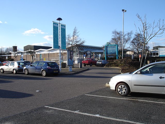
Medway services
Medway is a service area on the M2 motorway south of Medway, near Junction 4 in Kent, southeast England. It is managed by Moto and was previously named...

Stockbury Hill Wood
Stockbury Hill Wood is a 5-hectare (12-acre) nature reserve near Stockbury, north-east of Maidstone in Kent. It is managed by the Kent Wildlife Trust...

Park Wood, Medway
Park Wood or Parkwood is a housing estate and district in Gillingham at the south-eastern corner of the Medway conurbation in Kent, England. It was built...

St Mary Magdalene Church, Stockbury
St Mary Magdalene is a parish church in Stockbury, Kent built in the late 12th century with additions in the 13th and 15th centuries and restoration in...

Foxburrow Wood
Foxburrow Wood is a 6.1-hectare (15-acre) Local Nature Reserve in Rainham in Kent. It is owned and managed by Medway Council.This is a remnant of a much...
Nearby Amenities
Located within 500m of 51.330502,0.61770017Have you been to Yelsted?
Leave your review of Yelsted below (or comments, questions and feedback).