Chestnut Plantation
Wood, Forest in Kent Swale
England
Chestnut Plantation
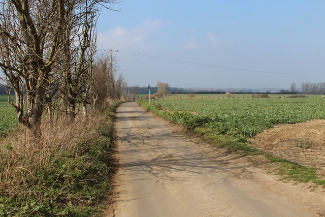
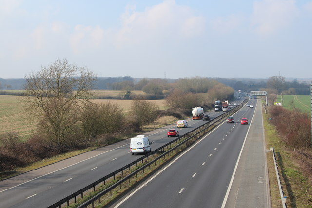
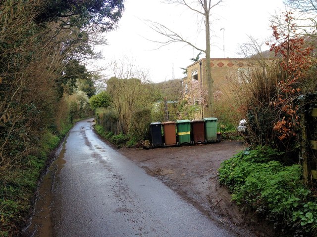
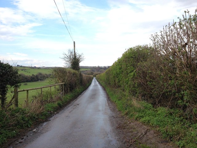
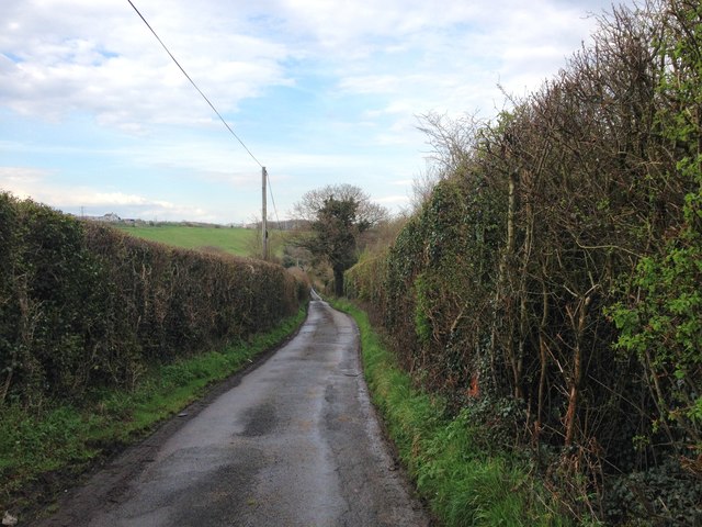
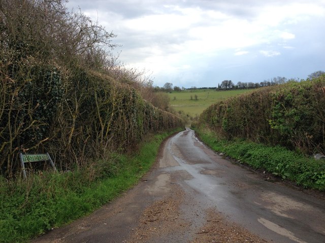
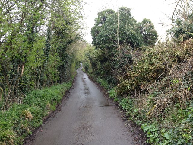
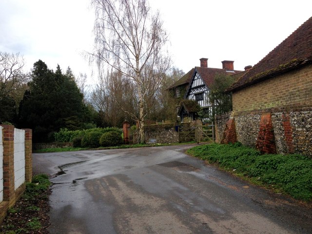
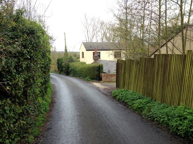
Chestnut Plantation, located in the picturesque county of Kent, is a serene woodland area known for its abundant chestnut trees. Situated in the heart of the Kentish countryside, this plantation covers a vast expanse of land, providing a tranquil retreat for visitors and nature enthusiasts alike.
The woodland is predominantly populated by mature chestnut trees, which lend their name to the plantation. These majestic trees, with their distinctive large, serrated leaves and prickly husks, create a beautiful and unique landscape throughout the year.
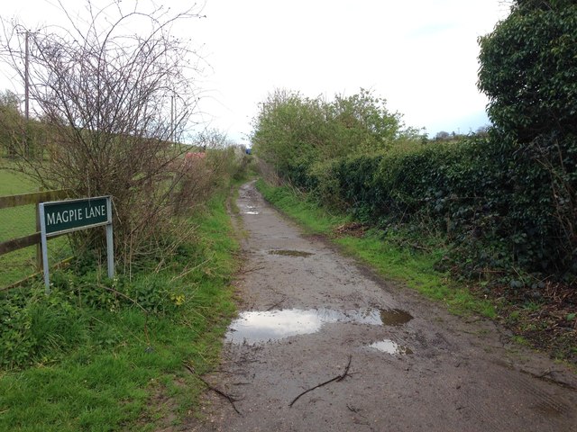
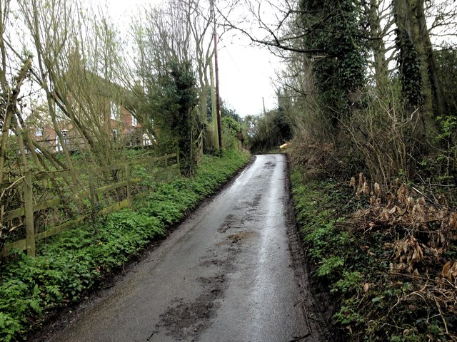
Chestnut Plantation offers visitors a variety of recreational activities. Nature lovers can explore the numerous walking trails that wind their way through the woodland, immersing themselves in the peaceful ambiance and discovering the diverse flora and fauna that call this area home. The plantation also features designated picnic areas, making it an ideal spot for family outings or a peaceful lunch surrounded by nature.
In addition to its natural beauty, Chestnut Plantation is home to a rich history. The plantation has been carefully managed for centuries, with records dating back to the 18th century. The land was originally used for chestnut cultivation, providing a valuable resource for the local community. Today, the plantation continues to be maintained and preserved as a testament to its historical significance.
Chestnut Plantation in Kent is a true gem, offering visitors a chance to escape the hustle and bustle of city life and immerse themselves in the tranquility of nature. With its majestic chestnut trees, scenic walking trails, and rich history, this woodland oasis is a must-visit destination for anyone seeking solace in the beauty of the natural world.
If you have any feedback on the listing, please let us know in the comments section below.
Chestnut Plantation Images
Images are sourced within 2km of 51.335097/0.6225708 or Grid Reference TQ8262. Thanks to Geograph Open Source API. All images are credited.
Chestnut Plantation is located at Grid Ref: TQ8262 (Lat: 51.335097, Lng: 0.6225708)
Administrative County: Kent
District: Swale
Police Authority: Kent
What 3 Words
///alleges.juror.reinstate. Near Rainham, Kent
Nearby Locations
Related Wikis

Queendown Warren
Queendown Warren is a 22.2-hectare (55-acre) biological Site of Special Scientific Interest south-east of Rainham in Kent. It is a Local Nature Reserve...

Yelsted
Yelsted is a hamlet in the Borough of Maidstone, in the county of Kent, England. In 1800, Edward Hasted noted that it was spelt Gillested. It was a manor...
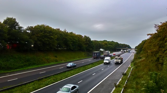
Medway services
Medway is a service area on the M2 motorway south of Medway, near Junction 4 in Kent, southeast England. It is managed by Moto and was previously named...

Purple Hill
Purple Hill is a 14.9-hectare (37-acre) biological Site of Special Scientific Interest south of Gillingham in Kent. It is a Nature Conservation Review...

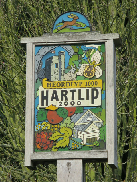
Hartlip
Hartlip is a village and civil parish in the borough of Swale, Kent, England. Parish estimated population in 1991 was 680, and in 2011, 746. In 2001 there...

Park Wood, Medway
Park Wood or Parkwood is a housing estate and district in Gillingham at the south-eastern corner of the Medway conurbation in Kent, England. It was built...

Stockbury Hill Wood
Stockbury Hill Wood is a 5-hectare (12-acre) nature reserve near Stockbury, north-east of Maidstone in Kent. It is managed by the Kent Wildlife Trust...

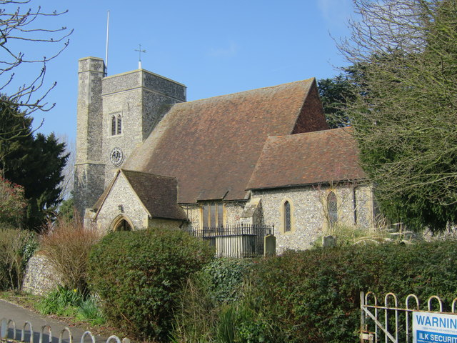
St Mary Magdalene Church, Stockbury
St Mary Magdalene is a parish church in Stockbury, Kent built in the late 12th century with additions in the 13th and 15th centuries and restoration in...
Nearby Amenities
Located within 500m of 51.335097,0.6225708Have you been to Chestnut Plantation?
Leave your review of Chestnut Plantation below (or comments, questions and feedback).