Carnalfield Grove

Wood, Forest in Suffolk Babergh

England

Carnalfield Grove

Cottage on Workhouse Hill, Hartest
Cottage on Workhouse Hill, Hartest Credit: David Howard

Carnalfield Grove, located in Suffolk, England, is a picturesque wood or forest known for its natural beauty and diverse flora and fauna. It stretches over an area of approximately 500 acres, making it a significant natural attraction in the region.

The grove is characterized by its dense canopy of tall trees, predominantly consisting of native species such as oak, beech, and silver birch. These trees provide a haven for a wide variety of wildlife, including birds, deer, and small mammals. The forest floor is adorned with carpets of bluebells and wildflowers during the spring and summer months, creating a colorful and enchanting atmosphere.

Trails and footpaths wind their way through the grove, allowing visitors to explore and appreciate the tranquility of the surroundings. These paths are well-maintained, making it easy for both casual walkers and more experienced hikers to navigate the area.

Carnalfield Grove is also home to several natural springs, which add to its charm and provide a source of fresh water for the local wildlife. The babbling sound of these streams further enhances the peaceful ambiance of the grove.

Due to its natural beauty and accessibility, Carnalfield Grove has become a popular destination for nature enthusiasts, photographers, and those seeking a peaceful escape from the hustle and bustle of everyday life. Whether it's a leisurely walk, birdwatching, or simply immersing oneself in the serenity of the forest, this woodland paradise offers something for everyone.

If you have any feedback on the listing, please let us know in the comments section below.

Carnalfield Grove Images

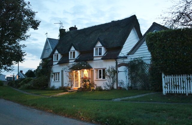
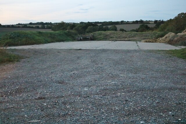
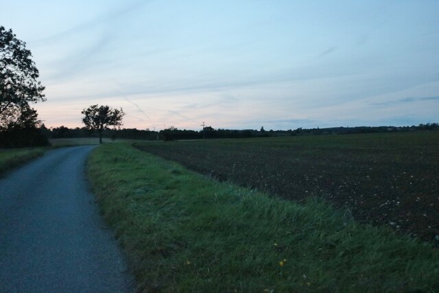
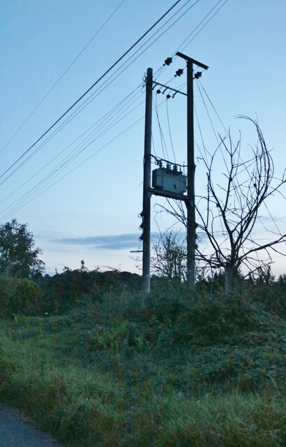
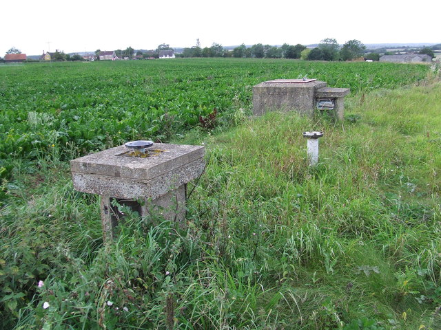
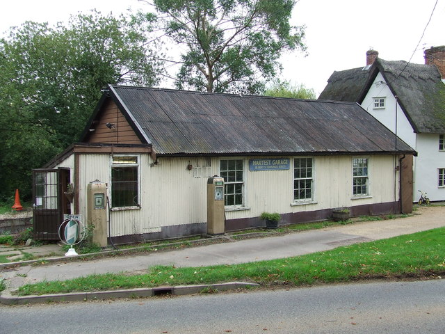
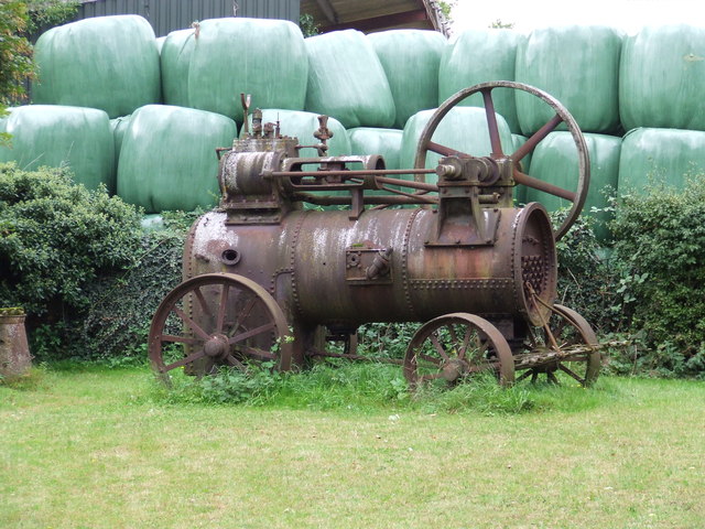
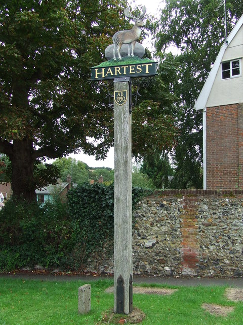
Images are sourced within 2km of 52.126092/0.6686771 or Grid Reference TL8250. Thanks to Geograph Open Source API. All images are credited.

Cottage on Workhouse Hill, Hartest
Loading area by Somerton Road, Mile End Mainly used for hay.
Loading area by Somerton Road, Mile End
Mainly used for hay.
Somerton Road, Mile End
Field and tree by Somerton Road, Mile End
Electricity poles by Somerton Hall
Somerton Hall near Somerton A big white-brick early C19th front to the road, but there is a timber-framed house somewhere behind. Grade II listed.
Somerton Hall near Somerton
A big white-brick early C19th front to the road, but there is a timber-framed house somewhere behind. Grade II listed.
Small Bridge Small bridge on country road over unnamed stream at Boxted, Suffolk.
Small Bridge
Small bridge on country road over unnamed stream at Boxted, Suffolk.
Village Postbox Village postbox mounted in a small buildings wall at Boxted, Suffolk.
Village Postbox
Village postbox mounted in a small buildings wall at Boxted, Suffolk.
Footpath Junction Footpath junction near to Boxted, Suffolk.
Footpath Junction
Footpath junction near to Boxted, Suffolk.
Footpath Sign Post Footpath sign post near to Hartest, Suffolk.
Footpath Sign Post
Footpath sign post near to Hartest, Suffolk.
Old AA Sign Old AA road sign near to Hartest
Old AA Sign
Old AA road sign near to Hartest
Footpath To Chadacre Park Footpath looking east between Hartest Hill and Chadacre Park near to Hartest, Suffolk
Footpath To Chadacre Park
Footpath looking east between Hartest Hill and Chadacre Park near to Hartest, Suffolk
Nuclear Monitoring Post Surface parts of a now unused Royal Observer Corps nuclear monitoring post near to Hartest, Suffolk see <span class="nowrap"><a title="http://www.subbrit.org.uk/rsg/roc/db/988807445.019002.html" rel="nofollow ugc noopener" href="http://www.subbrit.org.uk/rsg/roc/db/988807445.019002.html">Link</a><img style="margin-left:2px;" alt="External link" title="External link - shift click to open in new window" src="https://s1.geograph.org.uk/img/external.png" width="10" height="10"/></span> and <span class="nowrap"><a title="http://en.wikipedia.org/wiki/Royal_Observer_Corps_Monitoring_Post" rel="nofollow ugc noopener" href="http://en.wikipedia.org/wiki/Royal_Observer_Corps_Monitoring_Post">Link</a><img style="margin-left:2px;" alt="External link" title="External link - shift click to open in new window" src="https://s1.geograph.org.uk/img/external.png" width="10" height="10"/></span> for more info.
Nuclear Monitoring Post
Surface parts of a now unused Royal Observer Corps nuclear monitoring post near to Hartest, Suffolk see LinkExternal link and LinkExternal link for more info.
Hartest Garage Hartest garage Hartest, Suffolk.
Hartest Garage
Hartest garage Hartest, Suffolk.
Old Engine Old steam engine at Hartest, Suffolk.
Old Engine
Old steam engine at Hartest, Suffolk.
Village Sign Hartest village sign Hartest, Suffolk for close up detail see <a title="https://www.geograph.org.uk/photo/2595522" href="https://www.geograph.org.uk/photo/2595522">Link</a>
Village Sign
Hartest village sign Hartest, Suffolk for close up detail see Link
Hartest Hartest village sign Hartest, Suffolk for overall view see <a title="https://www.geograph.org.uk/photo/2595519" href="https://www.geograph.org.uk/photo/2595519">Link</a>
Hartest
Hartest village sign Hartest, Suffolk for overall view see Link
Red Boxes And Cottages Post box telephone box and cottages at Hartest, Suffolk.
Red Boxes And Cottages
Post box telephone box and cottages at Hartest, Suffolk.
Show me another place!

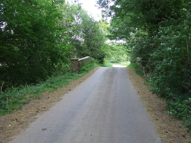
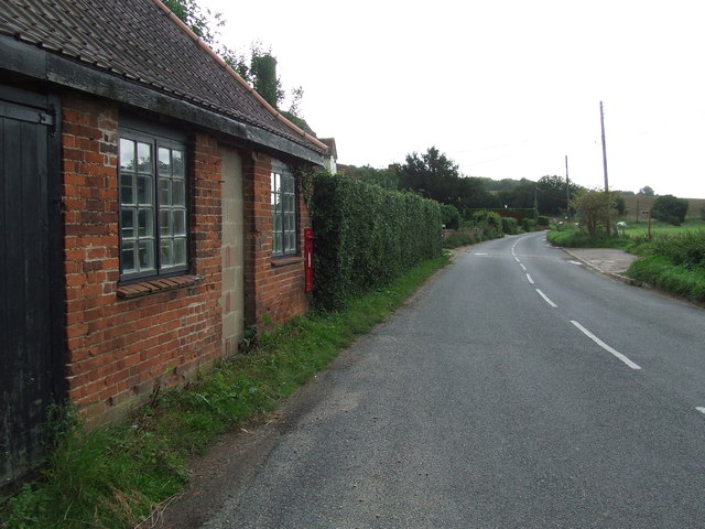
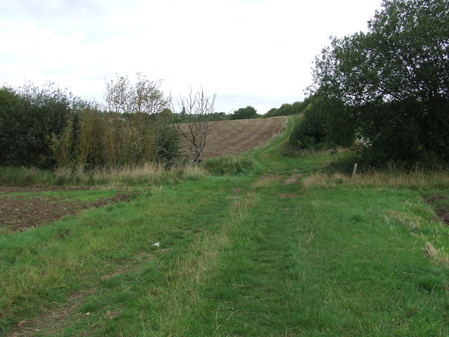
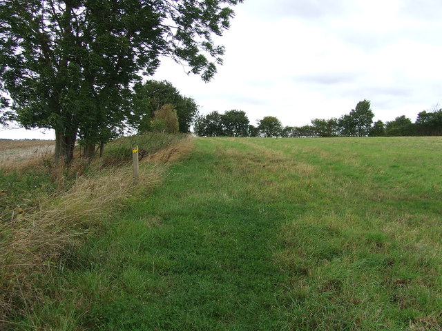
Carnalfield Grove is located at Grid Ref: TL8250 (Lat: 52.126092, Lng: 0.6686771)

Administrative County: Suffolk

District: Babergh

Police Authority: Suffolk

What 3 Words

///chain.tickling.embedded. Near Glemsford, Suffolk

Related Wikis

Boxted, Suffolk

Boxted is a village and civil parish in the Babergh district of Suffolk, England. Located around 8 miles (13 km) north of Sudbury, in 2005 it had a population...
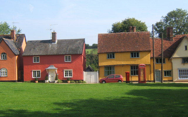
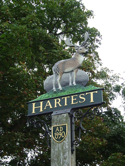
Hartest

Hartest is a small village and civil parish in the Babergh district of the English county of Suffolk. It is located halfway between Bury St. Edmunds and...

Somerton, Suffolk

Somerton is a civil parish in the Babergh district of Suffolk in eastern England. Somerton is split into two smaller villages: Upper Somerton with a population...

Audley End, Suffolk

Audley End is a hamlet in the civil parish of Lawshall in the Babergh district in the county of Suffolk, England. It is located between Lambs Lane and...

Kentwell Woods

Kentwell Woods is a 77.6-hectare (192-acre) biological Site of Special Scientific Interest in fifteen woods in fourteen separate blocks east and north...

Glemsford

Glemsford is a village in the Babergh district in Suffolk, England, near the town of Sudbury. Glemsford is located near the River Glem and the River Stour...

Stanstead, Suffolk

Stanstead is a village and civil parish in Suffolk, England. The name Stanstead comes from the Old English for "Stony place". Located off the B1066, it...

Shimpling

Shimpling is a village and civil parish in south Suffolk, England. About 7 miles (11 km) from Bury St Edmunds, it is part of Babergh district. The village...

Nearby Amenities

Located within 500m of 52.126092,0.6686771
Boxted
Place: village
Source: NPE
Wikidata: Q2032779
Lat/Long: 52.1289065/0.6682676
Bus Stop
Phone Box
Naptan AtcoCode: 390010756
Naptan Bearing: SE
Naptan BusStopType: CUS
Naptan CommonName: Phone Box
Naptan Indicator: o/s
Naptan Landmark: Phone Box
Naptan NaptanCode: sufjdpdm
Naptan Street: The Street
Naptan Verified: no
Source: naptan_import
Lat/Long: 52.1300769/0.6672501
Bus Stop
Phone Box
Naptan AtcoCode: 390010757
Naptan Bearing: NW
Naptan BusStopType: CUS
Naptan CommonName: Phone Box
Naptan Indicator: opp
Naptan Landmark: Phone Box
Naptan NaptanCode: sufjdpdp
Naptan Street: The Street
Naptan Verified: no
Source: naptan_import
Lat/Long: 52.1300308/0.6670592
The data included in this document is from www.openstreetmap.org. The data is made available under ODbL.

Have you been to Carnalfield Grove?

Leave your review of Carnalfield Grove below (or comments, questions and feedback).