Whalebone Spring

Wood, Forest in Essex Braintree

England

Whalebone Spring

Holy Trinity Church, Bradwell, Essex Bradwell church stands quite a distance from its village in a remote location with just a farm as its neighbour.  The church is mainly Norman and there is much evidence of roman bricks being used.  Many churches around the Colchester area show signs of re-used roman bricks from the original roman town of Colchester.
Holy Trinity Church, Bradwell, Essex Credit: Robert Edwards

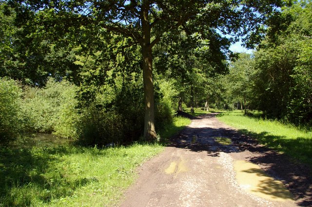
Whalebone Spring, located in the county of Essex, England, is a picturesque woodland area within the larger expanse of Epping Forest. Spanning approximately 35 hectares, this natural oasis offers enchanting scenery and a rich diversity of flora and fauna.

The name "Whalebone Spring" originates from a historical reference to a whale's jawbone, which was once displayed in the area as a boundary marker. Today, the spring itself is no longer visible, but the name has remained, capturing the imagination of visitors and locals alike.

The woodland landscape of Whalebone Spring is dominated by a mix of native tree species, including oak, beech, and hornbeam. These ancient trees provide a dense canopy, creating a tranquil and shady environment that is perfect for leisurely walks and nature exploration. Bluebells carpet the forest floor in spring, painting the ground with a vibrant hue, while ferns, mosses, and lichens thrive in the damp and shaded corners.

The wildlife at Whalebone Spring is abundant, with a variety of bird species such as woodpeckers, jays, and nuthatches making their homes in the trees. Squirrels can be spotted darting amongst the branches, and if one is lucky, they may even catch a glimpse of a timid deer or a fox gracefully passing through the undergrowth.

Whalebone Spring is a cherished location for both nature enthusiasts and those seeking a peaceful escape from the hustle and bustle of daily life. Its natural beauty and tranquility make it an invigorating destination for all who visit, providing a welcome respite from the urban surroundings of Essex.

If you have any feedback on the listing, please let us know in the comments section below.

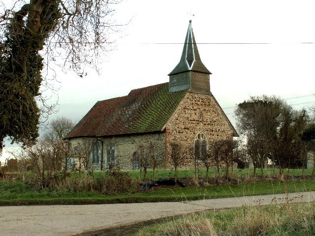
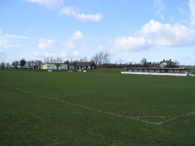
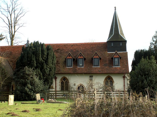
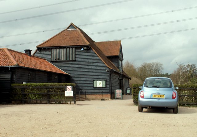
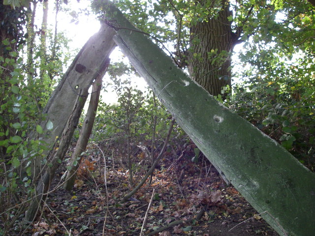
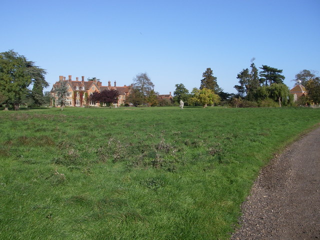
Whalebone Spring Images

Images are sourced within 2km of 51.881783/0.65416337 or Grid Reference TL8223. Thanks to Geograph Open Source API. All images are credited.

Holy Trinity Church, Bradwell, Essex Bradwell church stands quite a distance from its village in a remote location with just a farm as its neighbour.  The church is mainly Norman and there is much evidence of roman bricks being used.  Many churches around the Colchester area show signs of re-used roman bricks from the original roman town of Colchester.
Holy Trinity Church, Bradwell, Essex
Bradwell church stands quite a distance from its village in a remote location with just a farm as its neighbour. The church is mainly Norman and there is much evidence of roman bricks being used. Many churches around the Colchester area show signs of re-used roman bricks from the original roman town of Colchester.
Coggeshall Town & Youth FC
St. Mary's church, Pattiswick, Essex Like many other redundant churches around the country, this 12th century church has been converted into a private residence. The conversion has been quite sympathetically done and, although it seems a shame that such action has been carried out, it is better than demolition.
St. Mary's church, Pattiswick, Essex
Like many other redundant churches around the country, this 12th century church has been converted into a private residence. The conversion has been quite sympathetically done and, although it seems a shame that such action has been carried out, it is better than demolition.
Ruined mill Ruined mill and cottages near Robin's Brook, Coggeshall
Ruined mill
Ruined mill and cottages near Robin's Brook, Coggeshall
Visitor Centre at Markshall Country Park, Essex The Country Park lies to the north of Coggeshall.
Visitor Centre at Markshall Country Park, Essex
The Country Park lies to the north of Coggeshall.
Whalebone wood Whalebone wood (and the nearby spring) are well named - a pair of whalebones are still visible in the hedge beside the road here.
Whalebone wood
Whalebone wood (and the nearby spring) are well named - a pair of whalebones are still visible in the hedge beside the road here.
Holfield Grange
Holfield Grange
Little Nunty's farm This arable field was originally divided into 7 and named after the days of the week and during WW II a horse was caught in cross fire from a "dog fight" going on overhead and, alas, died.
Little Nunty's farm
This arable field was originally divided into 7 and named after the days of the week and during WW II a horse was caught in cross fire from a "dog fight" going on overhead and, alas, died.
Marks Hall Country Park Walk
'The Compasses' inn This inn stands along Compasses Road.
'The Compasses' inn
This inn stands along Compasses Road.
A long shed at Woodhouse Farm
Pattiswick Hall Farm
A house on Doghouse Road, at Pattiswick
Doghouse Road This is the view as you leave Pattiswick and head for the A.120
Doghouse Road
This is the view as you leave Pattiswick and head for the A.120
Part of The Essex Way footpath In the distance lies the River Blackwater, and the Essex Way runs alongside it for about a mile.
Part of The Essex Way footpath
In the distance lies the River Blackwater, and the Essex Way runs alongside it for about a mile.
Marks Hall Road This is the view as you leave the Markshall Estate.
Marks Hall Road
This is the view as you leave the Markshall Estate.
Byway through Bungate Wood The byway runs through Bungate Wood to Ambridge Road North West of Coggeshall.
Byway through Bungate Wood
The byway runs through Bungate Wood to Ambridge Road North West of Coggeshall.
Show me another place!

Whalebone Spring is located at Grid Ref: TL8223 (Lat: 51.881783, Lng: 0.65416337)

Administrative County: Essex

District: Braintree

Police Authority: Essex

What 3 Words

///storming.defrost.roofer. Near Coggeshall, Essex

Related Wikis

Pattiswick

Pattiswick is a village near the A120 road, and former civil parish, now in the parish of Bradwell, in the Braintree district, in the county of Essex,...

Stockstreet

Stockstreet is a hamlet on the A120 road to the west of the town of Coggeshall in Braintree District, Essex, England

A120 road

The A120 is an A-road in England, which runs between Puckeridge in Hertfordshire and Harwich in Essex. Along its route, the A120 bypasses the towns of...

Bradwell Juxta Coggeshall

Bradwell or Bradwell Juxta Coggeshall is a village and civil parish in Essex, England. It is located on the River Blackwater, approximately 5 km (3.1...

Coggeshall Town F.C.

Coggeshall Town Football Club is a football club based in Coggeshall, Essex, England. The club are currently members of the Essex Senior League and play...

Coggeshall United F.C.

Coggeshall United Football Club was a football club based in Coggeshall, Essex. They were founded in 2017 by former footballer Cliff Akurang. == History... ==

Marks Hall

Marks Hall was a Jacobean country house some 2 miles (3.2 km) north of Coggeshall in Essex, England. Previously a timber manor house, the 17th-century...

Paycocke's House and Gardens

Paycocke's House and Gardens are a surviving example of a Tudor merchant's house and garden in Coggeshall, Essex, England. The house was built for Thomas...

Nearby Amenities

Located within 500m of 51.881783,0.65416337
Power: tower
Source: Bing
Lat/Long: 51.8843855/0.6500387
Power: tower
Source: Bing
Lat/Long: 51.8812089/0.6487899
The data included in this document is from www.openstreetmap.org. The data is made available under ODbL.

Have you been to Whalebone Spring?

Leave your review of Whalebone Spring below (or comments, questions and feedback).