Pond Piece
Lake, Pool, Pond, Freshwater Marsh in Essex Braintree
England
Pond Piece
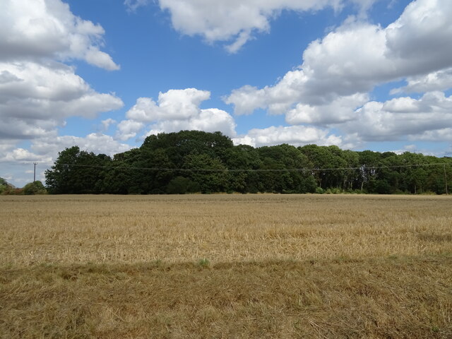
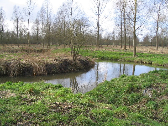
Pond Piece, located in Essex, is a diverse wetland area encompassing a lake, pool, pond, and freshwater marsh. This natural landscape is a haven for various plant and animal species, offering a rich and vibrant ecosystem.
The lake, situated at the heart of Pond Piece, is a large body of water with a calm surface. Its waters host an array of aquatic plants, such as water lilies and reeds, providing shelter and food for many water-dwelling creatures. The lake also attracts numerous bird species, including ducks, swans, and herons, which can be observed gracefully gliding across its expanse.
Adjacent to the lake is a smaller, more secluded pool. Surrounded by lush vegetation, it provides a serene environment for wildlife to thrive. This pool is often teeming with smaller aquatic animals like frogs, tadpoles, and various species of fish, all contributing to the overall biodiversity of Pond Piece.
Further into the wetland, a pond can be found. This smaller water body is characterized by its shallower depth and is home to numerous insect species, such as dragonflies and water beetles. Additionally, the pond is an important breeding ground for amphibians like newts and toads.
Lastly, the freshwater marsh completes the wetland ecosystem of Pond Piece. This marshland is characterized by its soft, waterlogged soil and is abundant in marsh plants like cattails and sedges. It serves as a vital habitat for a variety of bird species, insects, and small mammals.
Overall, Pond Piece in Essex is a remarkable wetland area, encompassing a lake, pool, pond, and freshwater marsh. Its diverse habitats provide a sanctuary for numerous plant and animal species, making it a significant natural asset to the region.
If you have any feedback on the listing, please let us know in the comments section below.
Pond Piece Images
Images are sourced within 2km of 51.875974/0.6521357 or Grid Reference TL8223. Thanks to Geograph Open Source API. All images are credited.


Pond Piece is located at Grid Ref: TL8223 (Lat: 51.875974, Lng: 0.6521357)
Administrative County: Essex
District: Braintree
Police Authority: Essex
What 3 Words
///crawled.until.refusals. Near Coggeshall, Essex
Nearby Locations
Related Wikis

Stockstreet
Stockstreet is a hamlet on the A120 road to the west of the town of Coggeshall in Braintree District, Essex, England

Pattiswick
Pattiswick is a village near the A120 road, and former civil parish, now in the parish of Bradwell, in the Braintree district, in the county of Essex,...

A120 road
The A120 is an A-road in England, which runs between Puckeridge in Hertfordshire and Harwich in Essex. Along its route, the A120 bypasses the towns of...

Coggeshall Town F.C.
Coggeshall Town Football Club is a football club based in Coggeshall, Essex, England. The club are currently members of the Essex Senior League and play...
Coggeshall United F.C.
Coggeshall United Football Club was a football club based in Coggeshall, Essex. They were founded in 2017 by former footballer Cliff Akurang. == History... ==

Bradwell Juxta Coggeshall
Bradwell or Bradwell Juxta Coggeshall is a village and civil parish in Essex, England. It is located on the River Blackwater, approximately 5 km (3.1...
Perry Green, Essex
Perry Green is a hamlet near the village of Bradwell Juxta Coggeshall, in the Braintree district, in the English county of Essex. For transport there is...
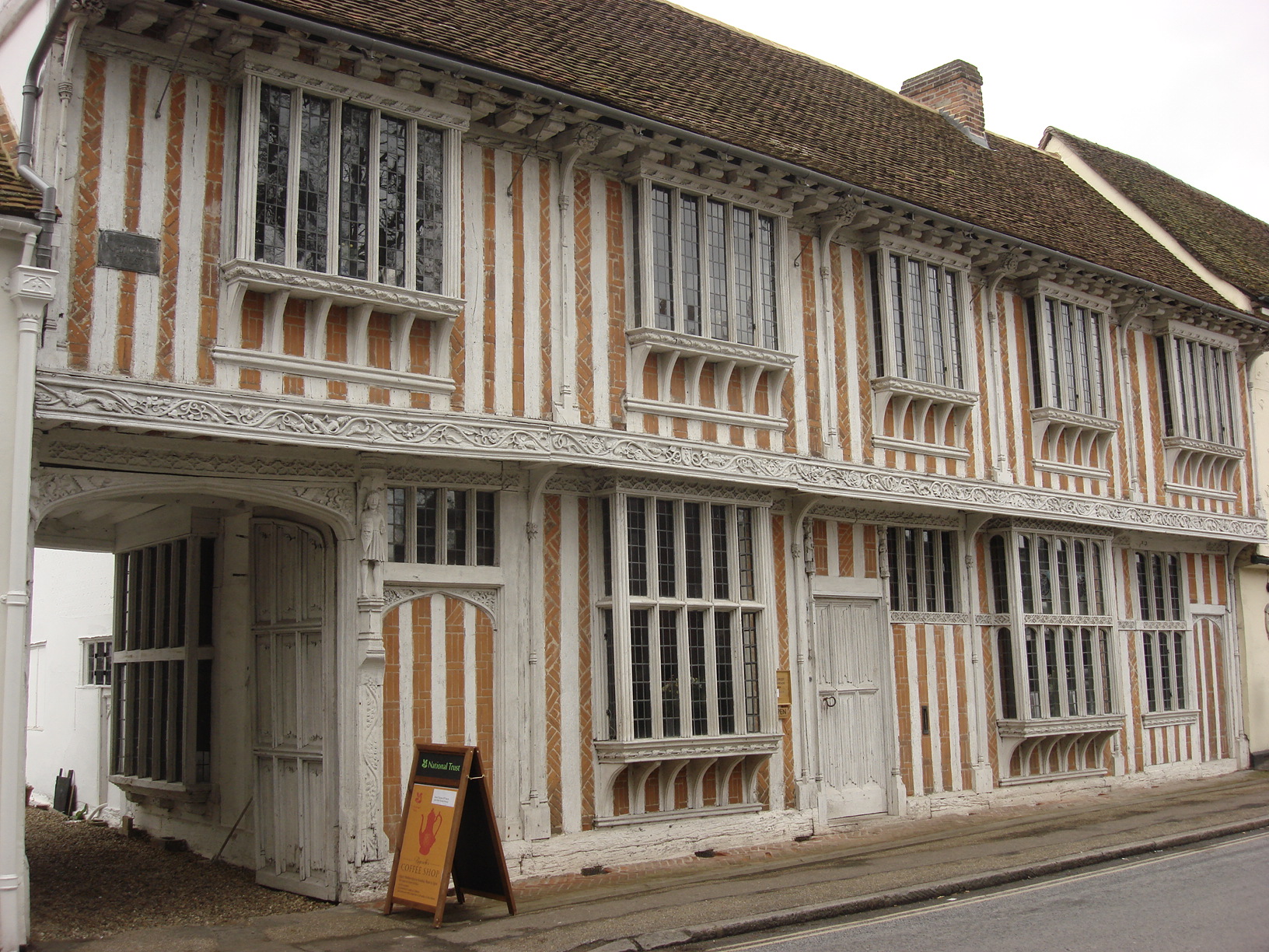
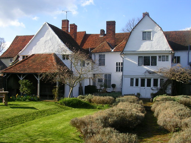
Paycocke's House and Gardens
Paycocke's House and Gardens are a surviving example of a Tudor merchant's house and garden in Coggeshall, Essex, England. The house was built for Thomas...
Nearby Amenities
Located within 500m of 51.875974,0.6521357Have you been to Pond Piece?
Leave your review of Pond Piece below (or comments, questions and feedback).