Halden Wood
Wood, Forest in Kent Ashford
England
Halden Wood

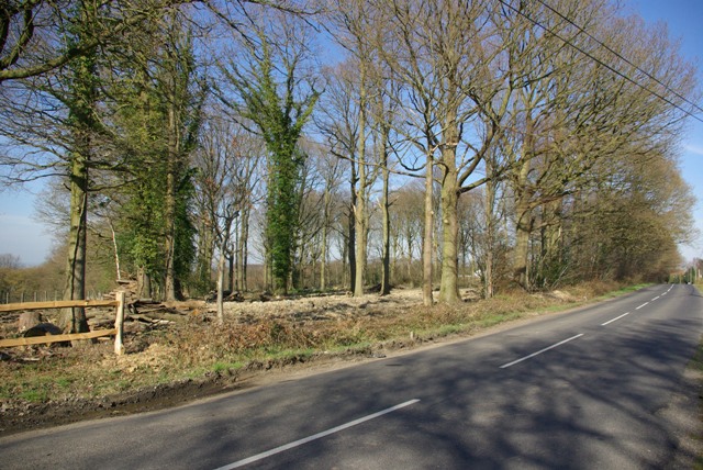
Halden Wood, located in the county of Kent, England, is a picturesque forest known for its natural beauty and rich biodiversity. Covering an area of approximately 350 acres, this woodland is a popular destination among nature enthusiasts and outdoor adventurers.
The forest is characterized by a mix of deciduous and coniferous trees, including oak, beech, pine, and spruce, which create a diverse and vibrant landscape throughout the year. Halden Wood is particularly renowned for its stunning display of autumn colors, as the leaves of the trees turn vibrant shades of orange, red, and gold.
The woodland is home to a variety of wildlife, including deer, foxes, badgers, and a wide array of bird species. Nature lovers can often spot these creatures roaming freely in their natural habitat, making Halden Wood an excellent place for wildlife observation and photography.
Visitors to Halden Wood can explore its numerous walking trails, which wind their way through the forest and offer stunning views of the surrounding countryside. These paths are well-maintained and suitable for all levels of fitness, making them accessible to both casual strollers and avid hikers. The forest also features picnic areas and benches, providing a perfect spot for visitors to relax and enjoy the tranquility of the natural surroundings.
Halden Wood is easily accessible, located just a short drive from the town of Tenterden. It offers a peaceful retreat from the hustle and bustle of everyday life, providing a chance to reconnect with nature and immerse oneself in the beauty of this enchanting woodland.
If you have any feedback on the listing, please let us know in the comments section below.
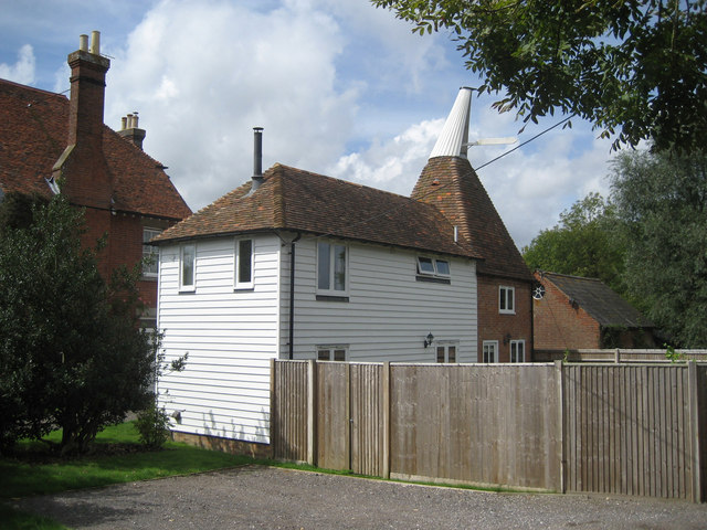
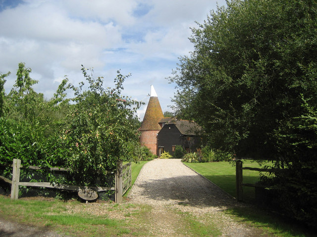
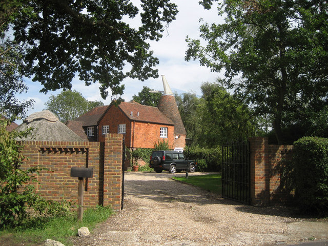
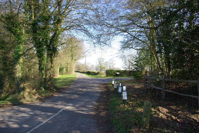
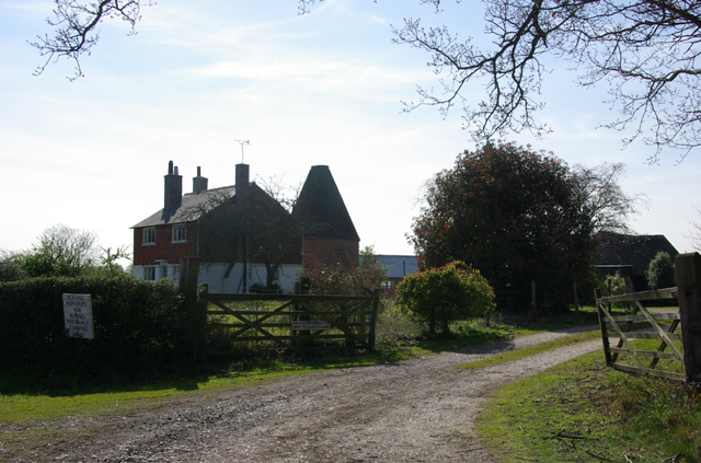
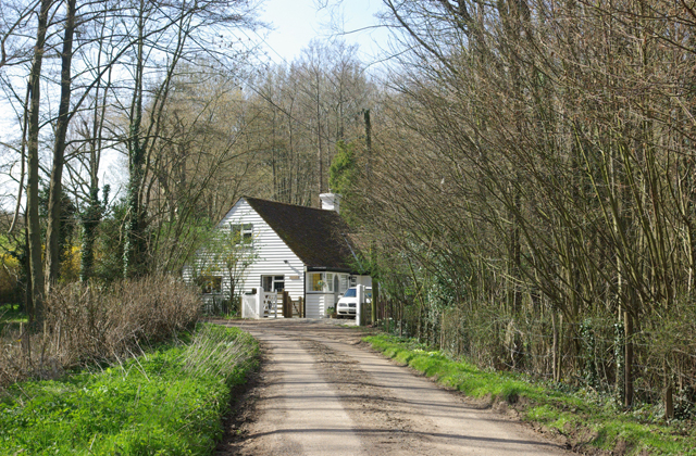
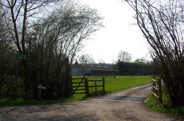
Halden Wood Images
Images are sourced within 2km of 51.093217/0.61160016 or Grid Reference TQ8235. Thanks to Geograph Open Source API. All images are credited.


Halden Wood is located at Grid Ref: TQ8235 (Lat: 51.093217, Lng: 0.61160016)
Administrative County: Kent
District: Ashford
Police Authority: Kent
What 3 Words
///installs.structure.earplugs. Near Biddenden, Kent
Nearby Locations
Related Wikis

Halden, Rolvenden
Halden is an historic manor in the parish of Rolvenden in Kent, England. The manor house was later known as Halden Place and is a Grade II listed building...

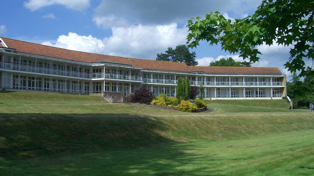
Dulwich Prep Cranbrook
Dulwich Cranbrook is a co-educational independent school for children aged 2–16 near Cranbrook, Kent. Since September 2023, the Head has been Sophie Bradshaw...
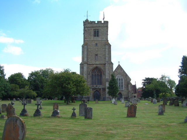
Biddenden
Biddenden is a large, mostly agricultural and wooded village and civil parish in the borough of Ashford in Kent, England. The village lies on the Weald...
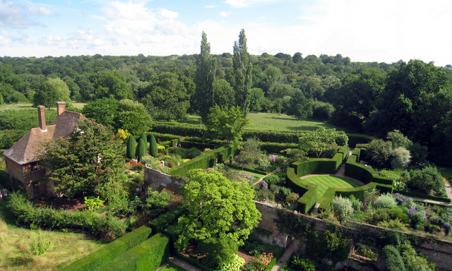
Sissinghurst Castle Garden
Sissinghurst Castle Garden, at Sissinghurst in the Weald of Kent in England, was created by Vita Sackville-West, poet and writer, and her husband Harold...
Nearby Amenities
Located within 500m of 51.093217,0.61160016Have you been to Halden Wood?
Leave your review of Halden Wood below (or comments, questions and feedback).