Flamstead End
Settlement in Hertfordshire Broxbourne
England
Flamstead End
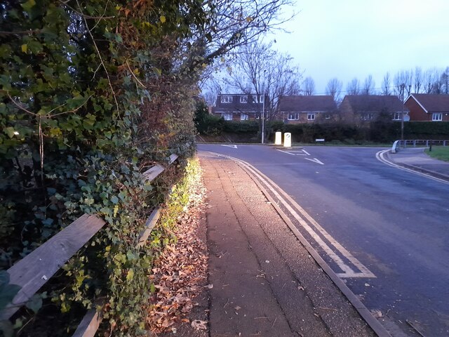
Flamstead End is a small village located in the county of Hertfordshire, England. Situated approximately 20 miles north of London, it falls within the borough of Broxbourne. The village is surrounded by picturesque countryside, with open fields and woodlands dominating the landscape.
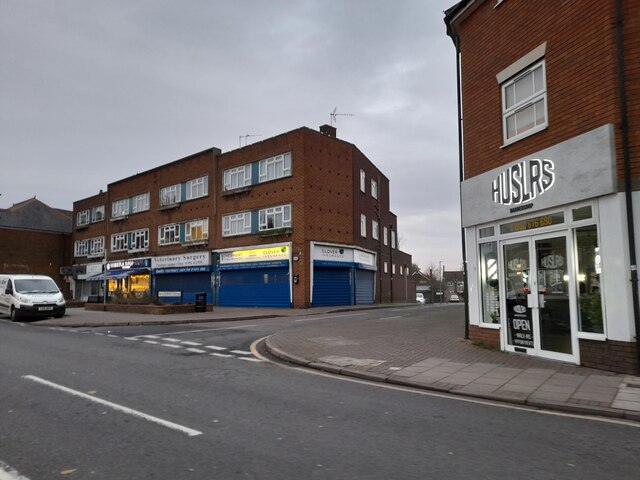
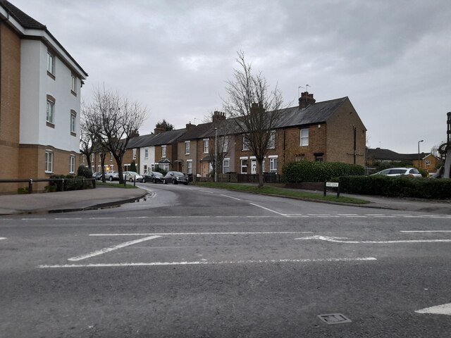
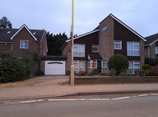
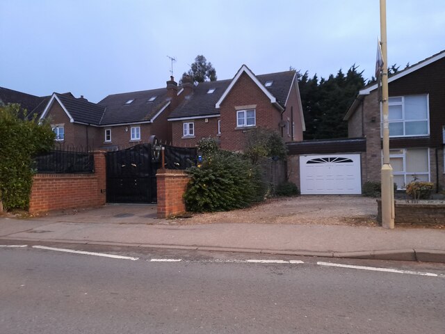
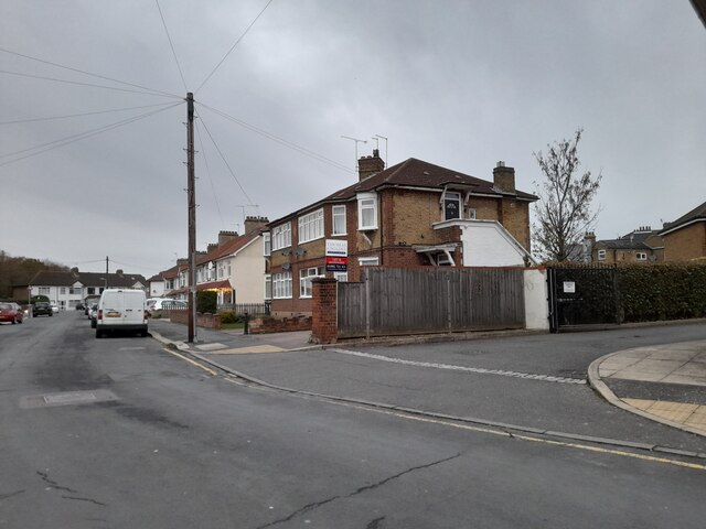
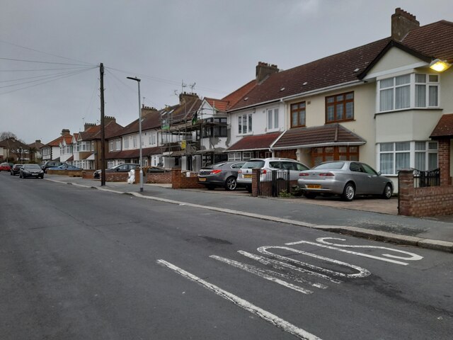
Flamstead End is a relatively quiet and residential area, boasting a close-knit community. The village is primarily made up of traditional brick houses, although there are some newer developments as well. The architecture is predominantly in line with the typical English countryside style, adding to the village's charm.
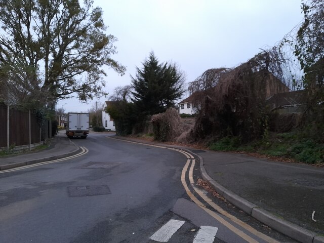
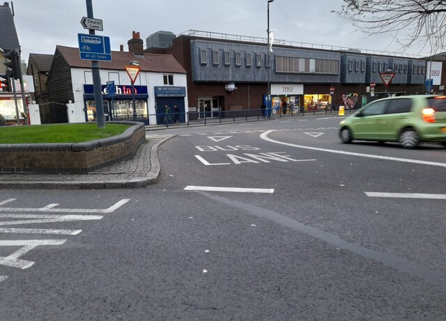
Despite its tranquil setting, Flamstead End benefits from excellent transport links. The village is conveniently located near major road networks, such as the A10 and M25, providing easy access to surrounding towns and cities. Additionally, there are regular bus services connecting Flamstead End to nearby areas.
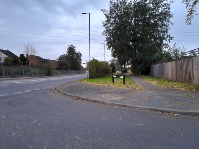
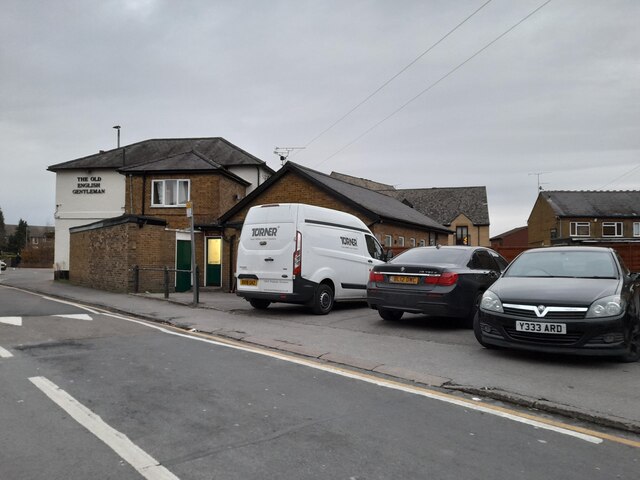
The village is home to several amenities and facilities to cater to its residents' needs. These include a primary school, a local shop, a community center, and a pub. The surrounding area offers plenty of opportunities for outdoor activities, with numerous walking and cycling trails nearby.
Flamstead End is also within proximity to various attractions and points of interest. Paradise Wildlife Park, a popular zoo and family attraction, is just a short drive away. The historic town of Hertford, known for its castle and picturesque riverside, is also easily accessible from the village.
Overall, Flamstead End offers a peaceful and idyllic living environment within close reach of both rural and urban amenities, making it an appealing place to reside.
If you have any feedback on the listing, please let us know in the comments section below.
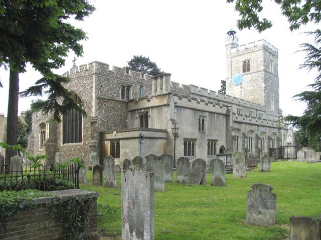
Flamstead End Images
Images are sourced within 2km of 51.71217/-0.048819 or Grid Reference TL3403. Thanks to Geograph Open Source API. All images are credited.


Flamstead End is located at Grid Ref: TL3403 (Lat: 51.71217, Lng: -0.048819)
Administrative County: Hertfordshire
District: Broxbourne
Police Authority: Hertfordshire
What 3 Words
///piano.grows.lived. Near Cheshunt, Hertfordshire
Nearby Locations
Related Wikis
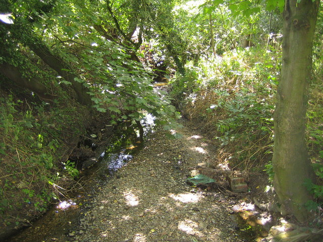
Rags Brook
Rags Brook is a tributary of the Small River Lea, which is a tributary of the River Lea. Rags Brook rises in the hills between Goffs Oak Cuffley in Hertfordshire...

Cheshunt Park
Cheshunt Park is a 40 hectare public park and Local Nature Reserve in Cheshunt in Hertfordshire. It is owned and managed by Broxbourne Borough Council...

Goffs Academy
Goffs Academy is a selective secondary school and sixth form with academy status located in Cheshunt, Hertfordshire, England with around 1,300 students...

Bishops' College, Cheshunt
Bishops' College, Cheshunt was an Anglican theological College set up to train clergy to serve in the Church of England. It was housed in buildings formerly...
F.C. Broxbourne Borough
Football Club Broxbourne Borough was a football club based in Broxbourne, Hertfordshire, England. They played at Goffs Lane in Cheshunt. == History... ==
Goffs-Churchgate Academy
Goffs-Churchgate Academy is a secondary school with academy status located in Cheshunt, Hertfordshire, England with around 600 students. == History... ==
Cheshunt
Cheshunt ( CHEZ-ənt) is a town in the Borough of Broxbourne in Hertfordshire, England, 13 miles (21 km) north of London on the River Lea and Lee Navigation...
Haileybury Turnford
Haileybury Turnford (formerly Turnford School) is a coeducational secondary school and sixth form located in Turnford, Hertfordshire, England. Previously...
Nearby Amenities
Located within 500m of 51.71217,-0.048819Have you been to Flamstead End?
Leave your review of Flamstead End below (or comments, questions and feedback).