Flamstead
Settlement in Hertfordshire Dacorum
England
Flamstead
Flamstead is a charming village located in the county of Hertfordshire, England. Situated approximately 30 miles northwest of London, it is nestled in the beautiful countryside and surrounded by picturesque rolling hills. The village is part of the civil parish of Flamstead and covers an area of around 4 square miles.
Flamstead is known for its rich history, dating back to the 11th century. It features several historical buildings, including St. Leonard's Church, which was constructed in the 12th century and is considered a prominent landmark. The village also boasts a number of attractive thatched cottages and traditional red-brick houses, adding to its quaint and traditional atmosphere.
The community in Flamstead is close-knit and friendly, with a population of around 1,800 residents. The village offers a range of amenities, including a primary school, village hall, post office, and a local pub. It also hosts various events throughout the year, such as the annual Flamstead Scarecrow Festival, which attracts visitors from near and far.
Nature lovers will appreciate Flamstead's proximity to the beautiful countryside, with numerous walking and cycling routes available for exploration. The village is also conveniently located near larger towns, such as Hemel Hempstead and St Albans, providing easy access to additional amenities and transport links.
Overall, Flamstead is a delightful rural village that offers a peaceful and idyllic setting, perfect for those seeking a relaxed lifestyle away from the hustle and bustle of city living.
If you have any feedback on the listing, please let us know in the comments section below.
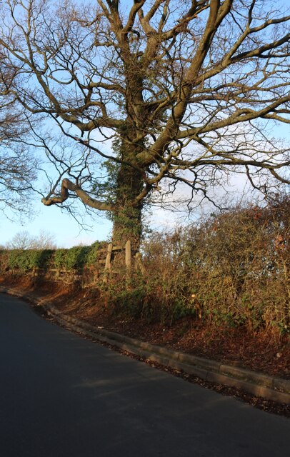
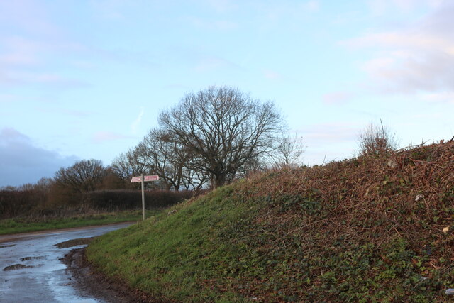
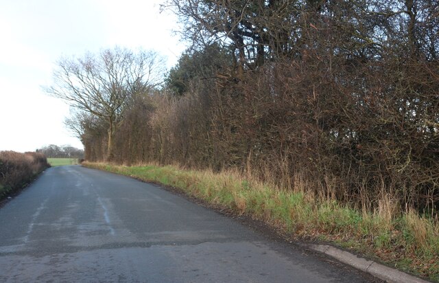
Flamstead Images
Images are sourced within 2km of 51.819527/-0.437281 or Grid Reference TL0714. Thanks to Geograph Open Source API. All images are credited.


Flamstead is located at Grid Ref: TL0714 (Lat: 51.819527, Lng: -0.437281)
Administrative County: Hertfordshire
District: Dacorum
Police Authority: Hertfordshire
What 3 Words
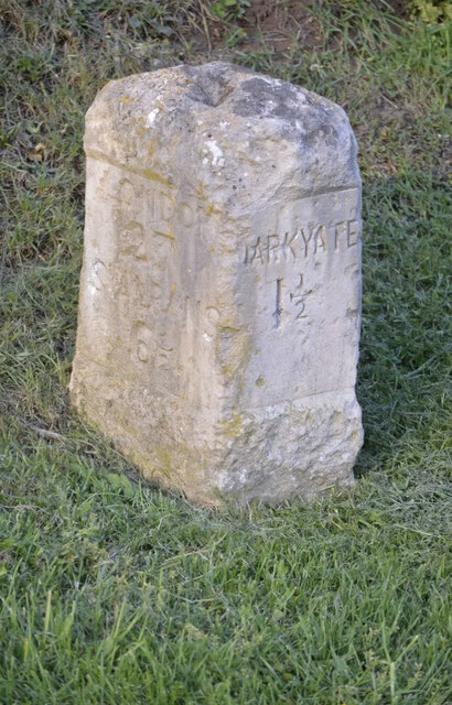
///sorry.cone.liked. Near Markyate, Hertfordshire
Nearby Locations
Related Wikis
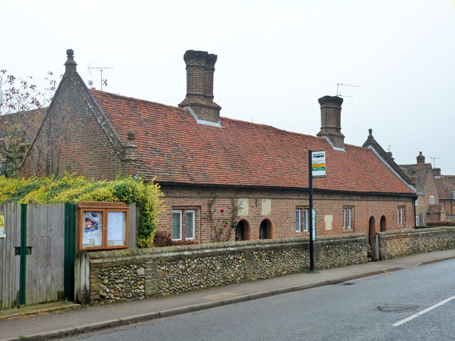
Saunders Almshouses
The Saunders Almshouses are Grade II* listed almshouses in Flamstead, Hertfordshire, England. They date from 1669 and were built for Thomas Saunders of...

Flamstead
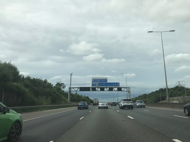
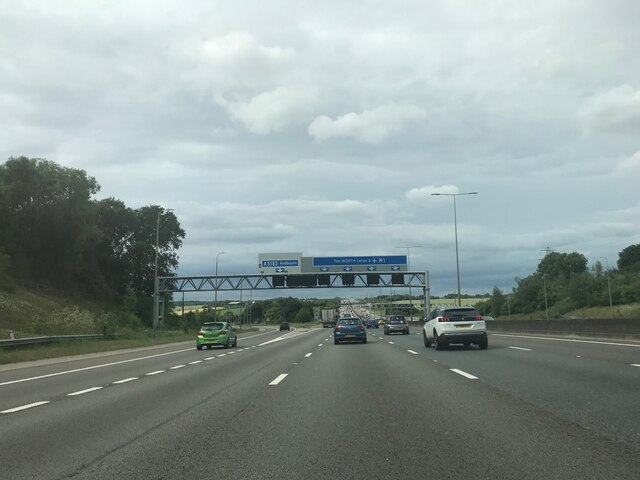
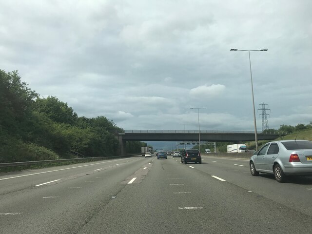
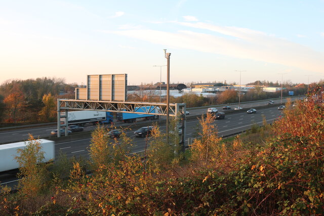
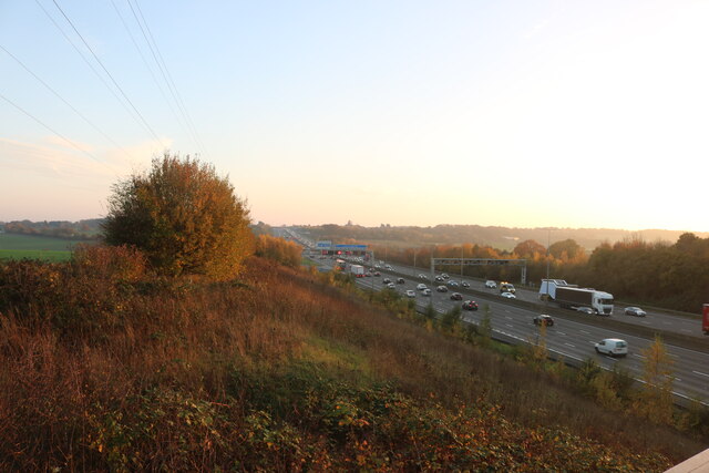
Flamstead is a village and civil parish in north-west Hertfordshire, England, close to the junction of the A5 and the M1 motorway at junction 9. The name...

Markyate
Markyate () is a village and civil parish in north-west Hertfordshire, close to the border with Bedfordshire and Buckinghamshire. == Geography == The name...

Markyate Rural District
Markyate Rural District was a short-lived rural district in Hertfordshire, England from 1894 to 1897, on the borders with Bedfordshire. The district was...
Cheverells
Cheverells is a Grade II* listed dower house to the Beechwood Park estate in Hertfordshire, England. It dates from around 1693. == References ==

Caddington Hall
Caddington Hall was a country estate in Markyate, Bedfordshire, England. The house was demolished in 1975.In 1804, a family by the name of Pedley traded...
Harpenden Rural
Harpenden Rural is a civil parish in the City and District of St Albans in Hertfordshire, England, to the west of Harpenden parish. The local council is...

Beechwood Park (mansion)
Beechwood Park was a mansion, near Markyate, Hertfordshire, England. It now houses Beechwood Park School. == History == Ralph de Tony held this site, in...
Nearby Amenities
Located within 500m of 51.819527,-0.437281Have you been to Flamstead?
Leave your review of Flamstead below (or comments, questions and feedback).