Bar Meadow Shaw
Wood, Forest in Kent Maidstone
England
Bar Meadow Shaw
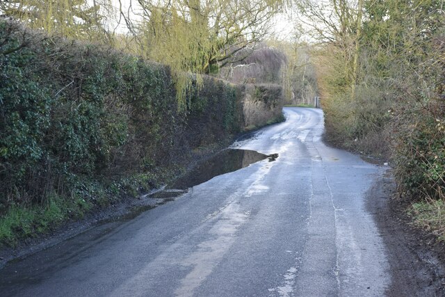
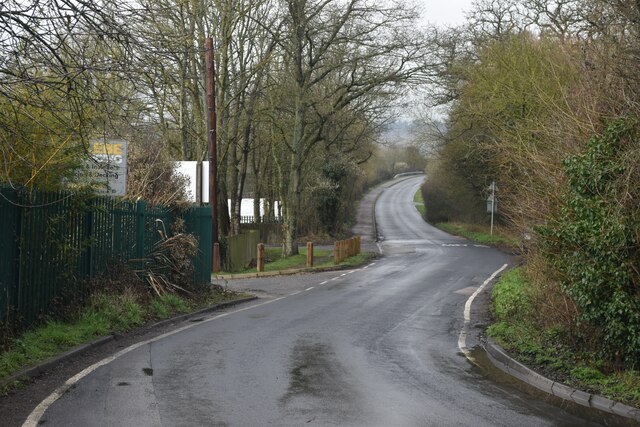
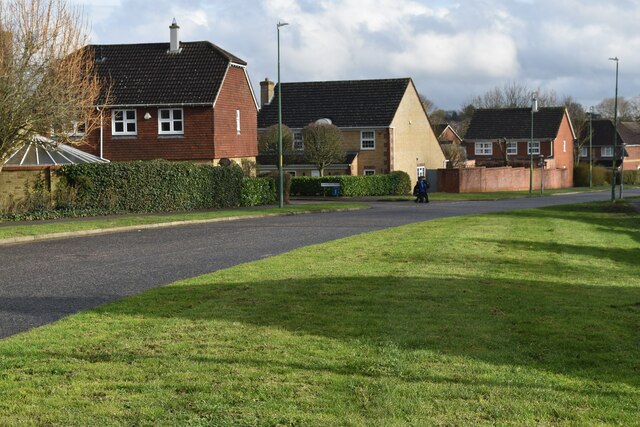
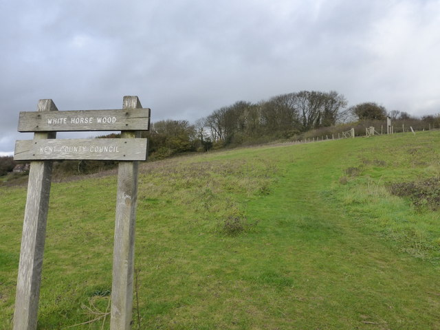
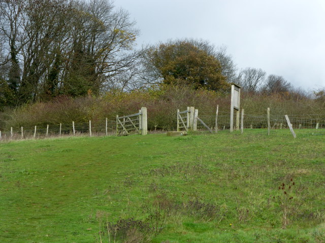
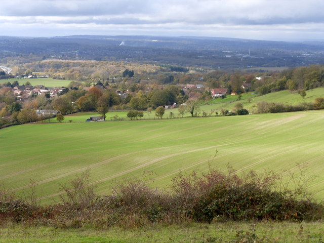
Bar Meadow Shaw is a picturesque woodland located in the county of Kent, England. Situated in the village of Bar Meadow, the Shaw comprises a dense and diverse forest with a rich array of flora and fauna. Spanning over several hectares, the woodland is a popular destination for nature enthusiasts and hikers alike.
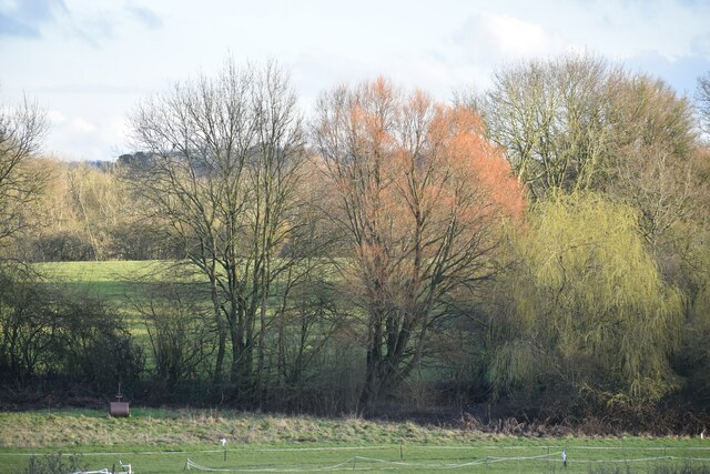
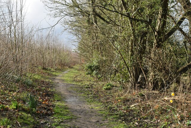
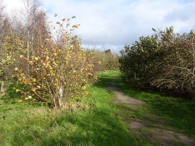
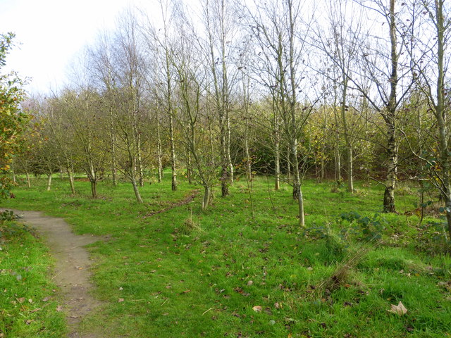
The forest is characterized by its ancient trees, predominantly oak and beech, which tower majestically over the forest floor. These trees provide a lush canopy, creating a cool and shady environment below. The woodland floor is covered in a thick carpet of ferns, mosses, and wildflowers, adding to the enchanting atmosphere.
Bar Meadow Shaw is home to a wide variety of wildlife. Birdwatchers will delight in the numerous species that can be spotted, such as woodpeckers, owls, and various songbirds. The forest also hosts a thriving population of mammals, including deer, foxes, and badgers. If lucky, visitors may even catch a glimpse of a rare dormouse or a European polecat.
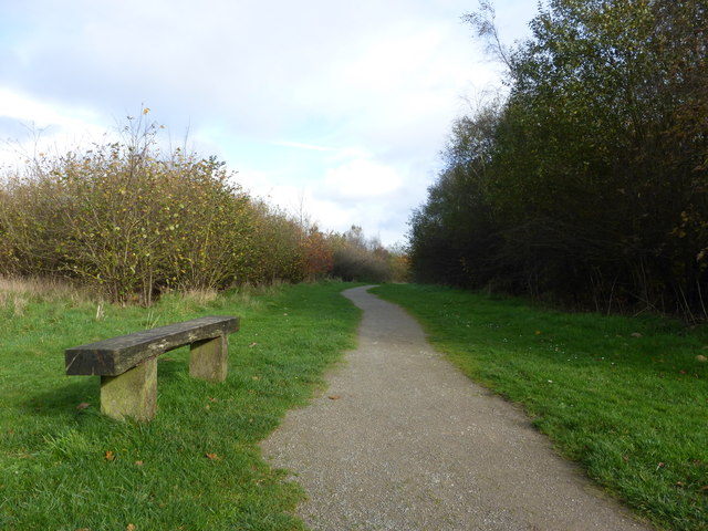
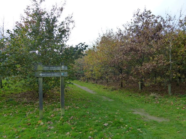
Tranquil walking trails wind through the woods, providing visitors with the opportunity to explore this natural haven at their leisure. The trails are well-maintained, making them accessible to visitors of all fitness levels. Along the way, benches and picnic areas offer the perfect spot to rest and soak in the peaceful ambiance.
Overall, Bar Meadow Shaw is a hidden gem in the heart of Kent. With its ancient trees, abundant wildlife, and serene atmosphere, it offers a welcome escape from the hustle and bustle of daily life, allowing visitors to reconnect with nature and experience the true beauty of the English countryside.
If you have any feedback on the listing, please let us know in the comments section below.
Bar Meadow Shaw Images
Images are sourced within 2km of 51.282355/0.57938043 or Grid Reference TQ7956. Thanks to Geograph Open Source API. All images are credited.
Bar Meadow Shaw is located at Grid Ref: TQ7956 (Lat: 51.282355, Lng: 0.57938043)
Administrative County: Kent
District: Maidstone
Police Authority: Kent
What 3 Words
///universally.king.choice. Near Maidstone, Kent
Nearby Locations
Related Wikis

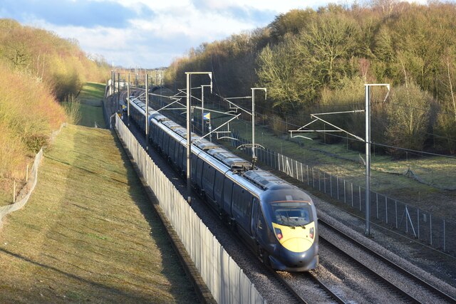
Bearsted railway station
Bearsted railway station serves Bearsted in Kent, England. The station and all trains serving it are operated by Southeastern. It is 42 miles 59 chains...

Kent Downs
The Kent Downs is an Area of Outstanding Natural Beauty (AONB) in Kent, England. They are the eastern half of the North Downs and stretch from the London/Surrey...

St Mary the Virgin Church, Thurnham
St Mary the Virgin is a small parish church in Thurnham, Kent. Begun in the 12th century, it is a Grade I listed building. == Building == The church was...
Bearsted
Bearsted ( BAIR-sted, traditionally BUR-) is a village and civil parish with railway station in mid-Kent, England, two miles (3.2 km) east of Maidstone...

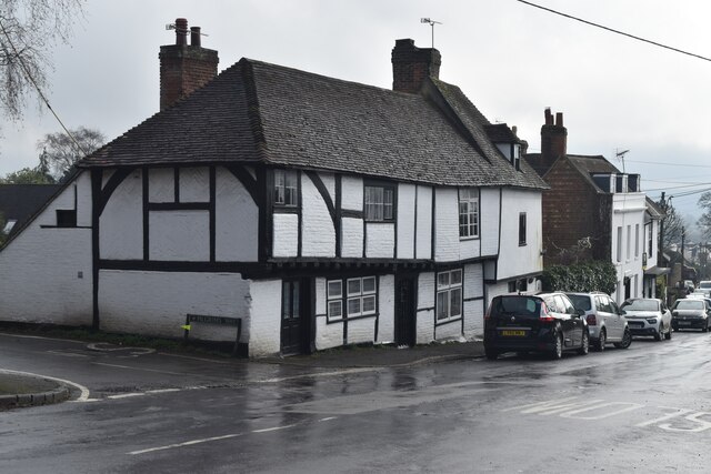
Thurnham, Kent
Thurnham is a village and civil parish which lies at the foot of the North Downs 3 miles (4.8 km) north east of Maidstone in the Borough of Maidstone and...
Holy Cross Church, Bearsted
Holy Cross is a parish church of the Church of England in Bearsted, Kent. Its construction begun in the 13th century. == Building == Construction of the...
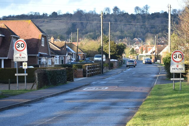
St Martin of Tours Church, Detling
St Martin of Tours is a parish church in Detling, Kent. Dedicated to Martin of Tours, the building was constructed in the 12th century with 13th and 15th...

Thurnham Castle
Thurnham Castle or Godard's Castle is situated to the north of the village of Thurnham which is 3 miles north-east of Maidstone, Kent (grid reference TQ...
Nearby Amenities
Located within 500m of 51.282355,0.57938043Have you been to Bar Meadow Shaw?
Leave your review of Bar Meadow Shaw below (or comments, questions and feedback).