Ware Street
Settlement in Kent Maidstone
England
Ware Street
Ware Street is a charming and picturesque village located in the county of Kent, England. Situated on the eastern outskirts of the town of Ashford, Ware Street is known for its tranquil and idyllic setting, surrounded by scenic countryside and rolling hills.
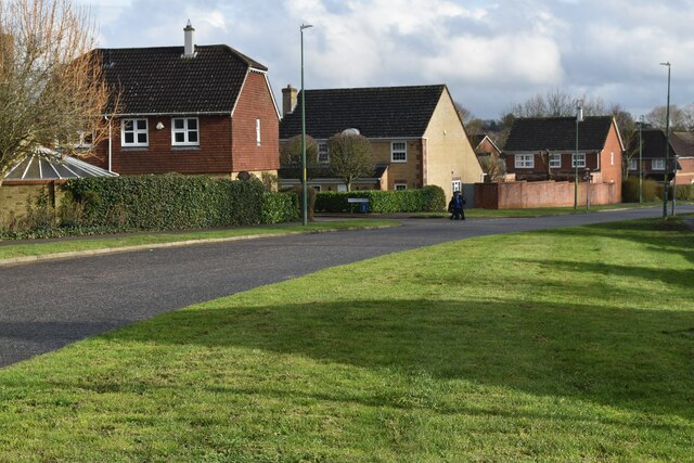
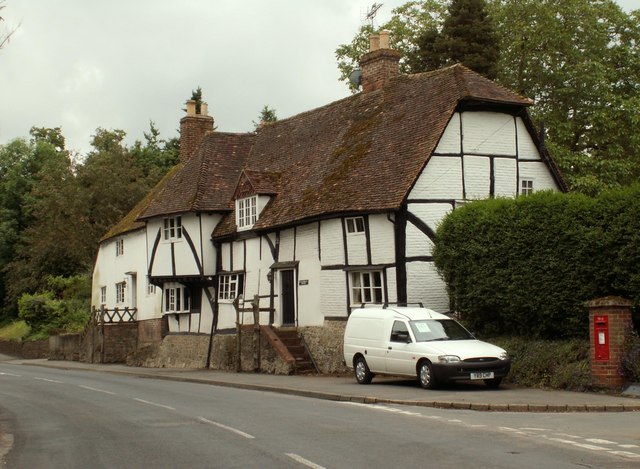
The village itself is relatively small, with a population of around 500 residents. It retains its traditional and quaint character, with a cluster of historic cottages and buildings lining the main street. The architecture reflects the village's long history, with some structures dating back to the 17th century.
Ware Street offers a peaceful and close-knit community atmosphere, with a friendly and welcoming ambiance. The village features a local pub, The Swan, which serves as a hub for social gatherings and events. There is also a village hall that hosts various community activities and functions.
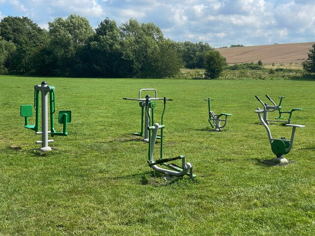
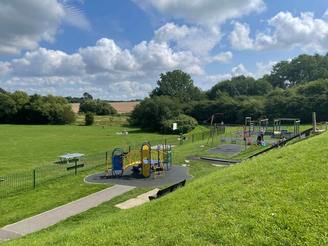
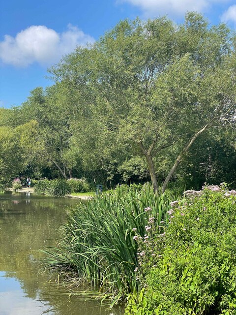
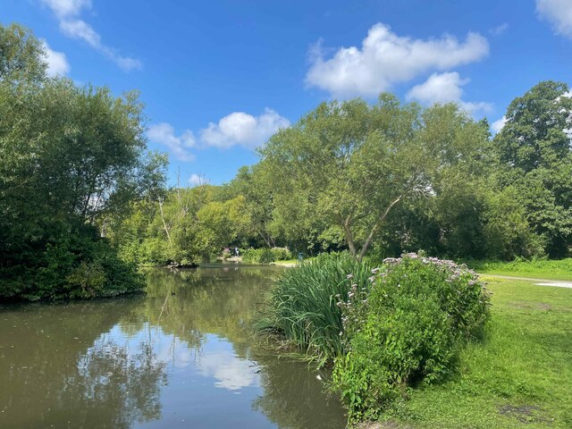
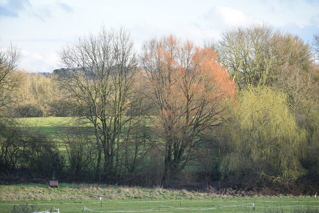
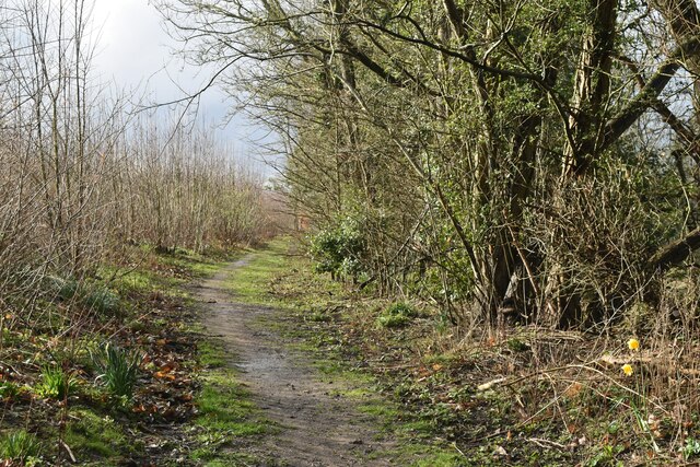
The surrounding countryside provides ample opportunities for outdoor activities, including walking, cycling, and horse riding. Ware Street is conveniently located near several nature reserves and parks, such as Godinton House and Gardens and Hothfield Common, offering residents and visitors the chance to explore and enjoy the natural beauty of the area.
Despite its rural setting, Ware Street benefits from good transportation links, with easy access to the A20 road and the nearby Ashford International train station. This allows residents to easily commute to larger towns and cities, such as Canterbury and London, for work or leisure.
In summary, Ware Street is a charming and peaceful village in Kent, offering a close-knit community, historic architecture, and beautiful countryside surroundings.
If you have any feedback on the listing, please let us know in the comments section below.
Ware Street Images
Images are sourced within 2km of 51.276028/0.57303218 or Grid Reference TQ7956. Thanks to Geograph Open Source API. All images are credited.


Ware Street is located at Grid Ref: TQ7956 (Lat: 51.276028, Lng: 0.57303218)
Administrative County: Kent
District: Maidstone
Police Authority: Kent
What 3 Words
///manliness.proven.cycle. Near Maidstone, Kent
Nearby Locations
Related Wikis

Bearsted railway station
Bearsted railway station serves Bearsted in Kent, England. The station and all trains serving it are operated by Southeastern. It is 42 miles 59 chains...
Bearsted
Bearsted ( BAIR-sted, traditionally BUR-) is a village and civil parish with railway station in mid-Kent, England, two miles (3.2 km) east of Maidstone...
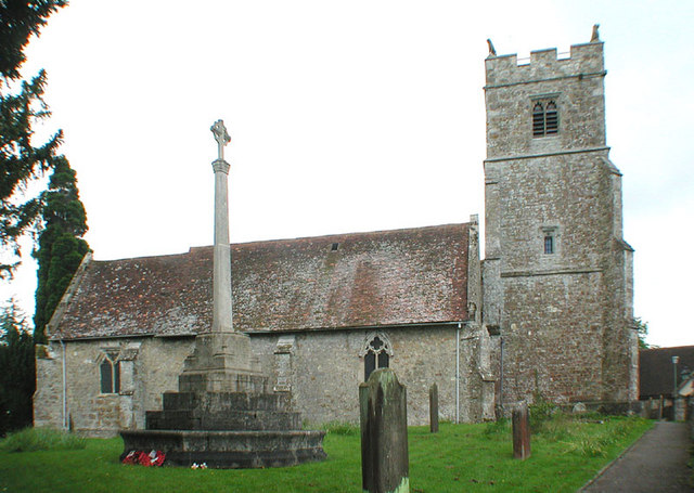
Holy Cross Church, Bearsted
Holy Cross is a parish church of the Church of England in Bearsted, Kent. Its construction begun in the 13th century. == Building == Construction of the...

Weavering
Weavering is a village, mainly consisting of parts of the Grove Green and Bearsted Park housing Estates, centred on Weavering Street, within the borough...
Grove Green
Grove Green is a suburban housing development, partially forming a part of Weavering village, near the town of Maidstone in Kent, England. The population...

KIMS Hospital, Maidstone
KIMS Hospital is the largest independent private hospital in Kent. It is situated in Maidstone and treats privately insured, self-funding and NHS patients...

Kent Downs
The Kent Downs is an Area of Outstanding Natural Beauty (AONB) in Kent, England. They are the eastern half of the North Downs and stretch from the London/Surrey...
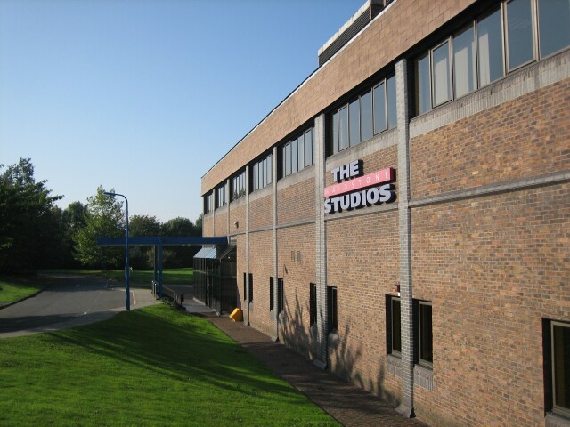
The Maidstone Studios
The Maidstone Studios, formerly called TVS Television Centre, is the largest independent television studio complex in the United Kingdom, and is based...
Nearby Amenities
Located within 500m of 51.276028,0.57303218Have you been to Ware Street?
Leave your review of Ware Street below (or comments, questions and feedback).