Hog Hill
Hill, Mountain in Kent Maidstone
England
Hog Hill
Hog Hill is a prominent hill located in Kent, England. Situated in the southeastern part of the county, it forms part of the Kent Downs, an Area of Outstanding Natural Beauty. Rising to an elevation of approximately 220 meters (720 feet), Hog Hill is not classified as a mountain but rather a hill due to its lower height.
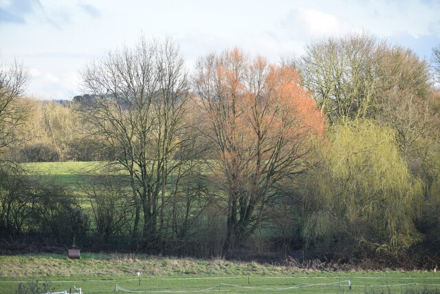
The hill is renowned for its picturesque and panoramic views of the surrounding countryside. From its summit, visitors can marvel at the rolling green hills, farmland, and woodlands that stretch as far as the eye can see. On clear days, it is even possible to catch glimpses of the English Channel in the distance.
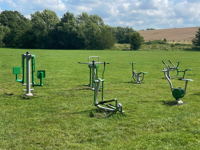
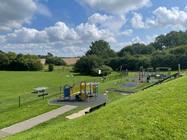
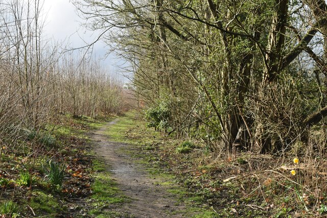
Hog Hill is a favored destination for hikers, walkers, and nature enthusiasts. Several walking trails wind their way up the hill, providing an opportunity to explore the area's natural beauty and wildlife. The hill is home to a variety of plant and animal species, making it a haven for biodiversity.
In addition to its natural attractions, Hog Hill has historical significance as well. The hill features the remnants of an Iron Age hillfort, offering a glimpse into the area's ancient past. The fort's earthworks and ditches can still be seen today, providing an interesting insight into the lives of those who inhabited the area thousands of years ago.
Overall, Hog Hill in Kent offers visitors a chance to immerse themselves in the natural beauty, history, and tranquility of the Kent Downs. Whether it's a leisurely stroll or a more challenging hike, the hill provides a rewarding experience for all who venture to its summit.
If you have any feedback on the listing, please let us know in the comments section below.
Hog Hill Images
Images are sourced within 2km of 51.274789/0.57577336 or Grid Reference TQ7956. Thanks to Geograph Open Source API. All images are credited.


Hog Hill is located at Grid Ref: TQ7956 (Lat: 51.274789, Lng: 0.57577336)
Administrative County: Kent
District: Maidstone
Police Authority: Kent
What 3 Words
///pits.canny.took. Near Maidstone, Kent
Nearby Locations
Related Wikis

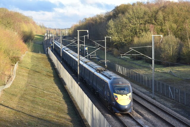
Bearsted railway station
Bearsted railway station serves Bearsted in Kent, England. The station and all trains serving it are operated by Southeastern. It is 42 miles 59 chains...
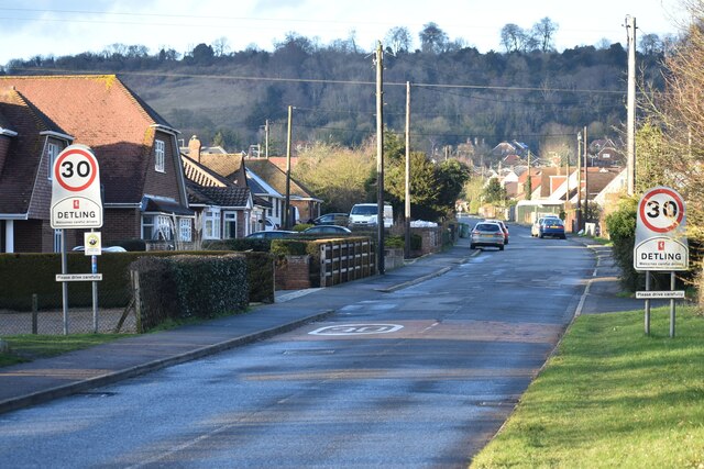
Bearsted
Bearsted ( BAIR-sted, traditionally BUR-) is a village and civil parish with railway station in mid-Kent, England, two miles (3.2 km) east of Maidstone...
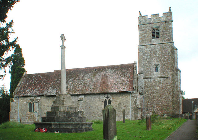
Holy Cross Church, Bearsted
Holy Cross is a parish church of the Church of England in Bearsted, Kent. Its construction begun in the 13th century. == Building == Construction of the...

Weavering
Weavering is a village, mainly consisting of parts of the Grove Green and Bearsted Park housing Estates, centred on Weavering Street, within the borough...
Grove Green
Grove Green is a suburban housing development, partially forming a part of Weavering village, near the town of Maidstone in Kent, England. The population...

Kent Downs
The Kent Downs is an Area of Outstanding Natural Beauty (AONB) in Kent, England. They are the eastern half of the North Downs and stretch from the London/Surrey...

St Mary the Virgin Church, Thurnham
St Mary the Virgin is a small parish church in Thurnham, Kent. Begun in the 12th century, it is a Grade I listed building. == Building == The church was...

KIMS Hospital, Maidstone
KIMS Hospital is the largest independent private hospital in Kent. It is situated in Maidstone and treats privately insured, self-funding and NHS patients...
Nearby Amenities
Located within 500m of 51.274789,0.57577336Have you been to Hog Hill?
Leave your review of Hog Hill below (or comments, questions and feedback).