Whin Covert

Wood, Forest in Norfolk King's Lynn and West Norfolk

England

Whin Covert

Remote undulating lane in the middle of nowhere Heading towards North Pole Farm in Norfolk
Remote undulating lane in the middle of nowhere Credit: Richard Humphrey

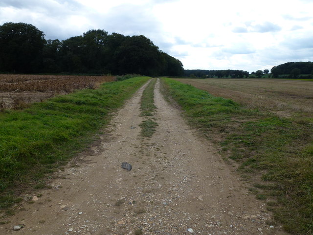
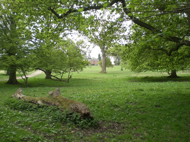
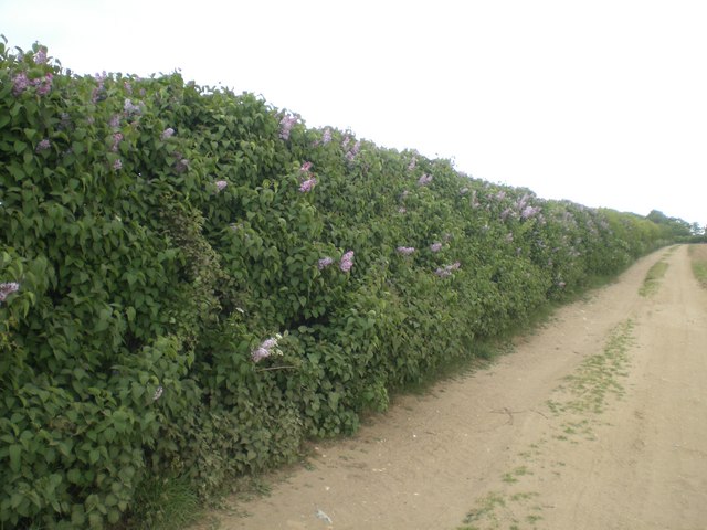
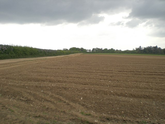
Whin Covert, located in Norfolk, England, is a charming woodland area known for its natural beauty and serene atmosphere. Covering an approximate area of 100 acres, it is situated in the heart of the Norfolk Broads, a renowned national park. Whin Covert is predominantly made up of dense woodland, consisting of various species of trees such as oak, beech, and birch.

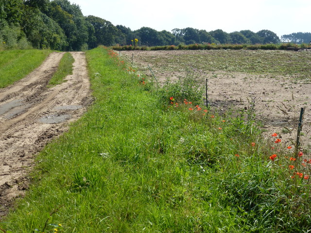
The woodland boasts a rich biodiversity, providing a habitat for a wide range of flora and fauna. It is home to numerous bird species, including woodpeckers, owls, and warblers, making it a popular destination for birdwatchers. Additionally, various small mammals, such as squirrels and rabbits, can also be spotted within the covert.

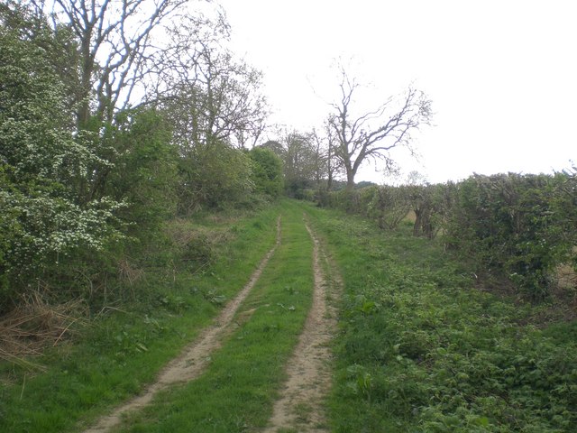
Whin Covert offers visitors an opportunity to immerse themselves in the tranquility of nature. It features several well-maintained walking trails, allowing visitors to explore the woodland at their own pace. The paths wind through the trees, offering glimpses of wildflowers and glimpses of sunlight filtering through the foliage.

The woodland is also a popular spot for nature photography enthusiasts, who can capture the stunning vistas, seasonal foliage, and wildlife within the covert. Moreover, the area is known for its vibrant autumn colors, attracting visitors from near and far to witness the breathtaking spectacle.

Whin Covert is a haven for nature lovers and provides a peaceful escape from the hustle and bustle of everyday life. With its diverse wildlife, picturesque trails, and natural beauty, it offers a truly enchanting experience for those seeking solace in the heart of Norfolk's woodlands.

If you have any feedback on the listing, please let us know in the comments section below.
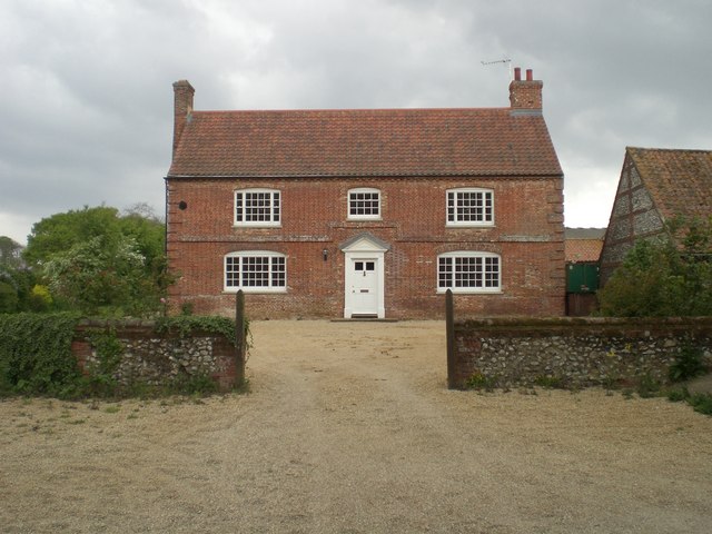
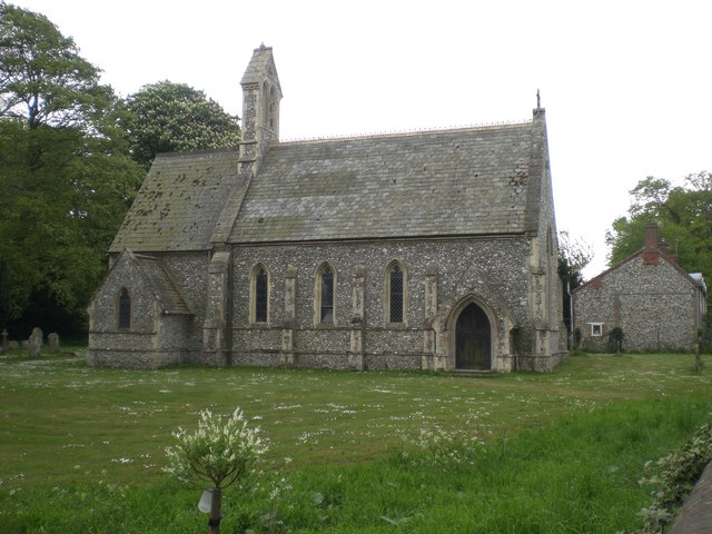
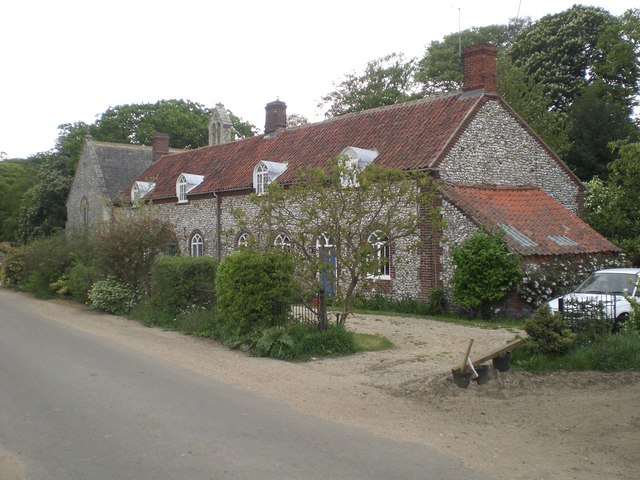
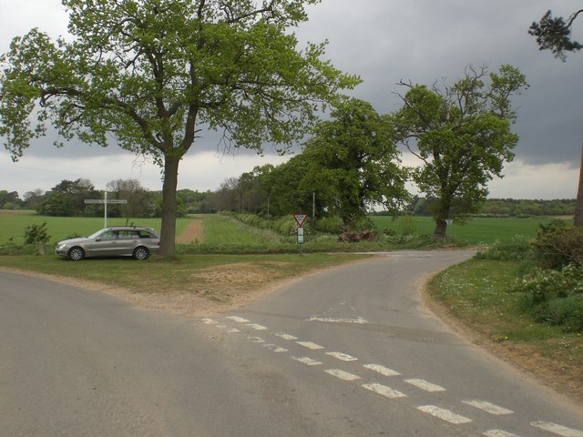
Whin Covert Images

Images are sourced within 2km of 52.847842/0.67120423 or Grid Reference TF7931. Thanks to Geograph Open Source API. All images are credited.

Remote undulating lane in the middle of nowhere Heading towards North Pole Farm in Norfolk
Remote undulating lane in the middle of nowhere
Heading towards North Pole Farm in Norfolk
Flint and sand track in Norfolk Between Bagthorpe and Frizzleton Farm
Flint and sand track in Norfolk
Between Bagthorpe and Frizzleton Farm
Track at the side of Berlin Plantation Near Bagthorpe in Norfolk
Track at the side of Berlin Plantation
Near Bagthorpe in Norfolk
Barn, Bagthorpe Hall Farm
Bagthorpe Hall Glimpsed south east through its surrounding park - bed & breakfast available <span class="nowrap"><a title="http://www.bagthorpehall.co.uk/" rel="nofollow ugc noopener" href="http://www.bagthorpehall.co.uk/">Link</a><img style="margin-left:2px;" alt="External link" title="External link - shift click to open in new window" src="https://s1.geograph.org.uk/img/external.png" width="10" height="10"/></span>
Bagthorpe Hall
Glimpsed south east through its surrounding park - bed & breakfast available LinkExternal link
Farm house, Bagthorpe Hall Farm A pleasingly simple piece of architecture - Grade II listed.  Recently restored - I doubt the farmer and his family live there any more.
Farm house, Bagthorpe Hall Farm
A pleasingly simple piece of architecture - Grade II listed. Recently restored - I doubt the farmer and his family live there any more.
St Mary the Virgin, Bagthorpe Now in the care of Norfolk Churches Trust <span class="nowrap"><a title="http://www.norfolk-churches.co.uk/" rel="nofollow ugc noopener" href="http://www.norfolk-churches.co.uk/">Link</a><img style="margin-left:2px;" alt="External link" title="External link - shift click to open in new window" src="https://s1.geograph.org.uk/img/external.png" width="10" height="10"/></span> with only occasional services. Grade II listed.
St Mary the Virgin, Bagthorpe
Now in the care of Norfolk Churches Trust LinkExternal link with only occasional services. Grade II listed.
Cottages at Bagthorpe next to the church Next to and matching the church. Grade II listed.
Cottages at Bagthorpe next to the church
Next to and matching the church. Grade II listed.
Crossroads between Syderstone and Bircham Tofts
Lilac hedge near Bagthorpe A field hedge at least 500m from the nearest garden where the predominant growth over a length of some 100m is lilac - in bloom in this photograph
Lilac hedge near Bagthorpe
A field hedge at least 500m from the nearest garden where the predominant growth over a length of some 100m is lilac - in bloom in this photograph
Cultivated field near Bagthorpe Not possible to identify the crop as due to the drought in this area there is no visible growth - probably carrots given the shape of the seed beds.  The hedge on the left is predominantly lilac - see Supplemental <a title="https://www.geograph.org.uk/photo/424810" href="https://www.geograph.org.uk/photo/424810">Link</a>
Cultivated field near Bagthorpe
Not possible to identify the crop as due to the drought in this area there is no visible growth - probably carrots given the shape of the seed beds. The hedge on the left is predominantly lilac - see Supplemental Link
Track near Bircham Common
Field barn near Bircham Tofts Not typical of field barns in this area - large opening on the north side (the opening visible in this picture) and with an enclosure on the southern side open to the west.
Field barn near Bircham Tofts
Not typical of field barns in this area - large opening on the north side (the opening visible in this picture) and with an enclosure on the southern side open to the west.
Fork in the track near Bircham Tofts Left to Bagthorpe and right, eventually, to West Rudham.  The dark sky promised rain that only came early the next morning.
Fork in the track near Bircham Tofts
Left to Bagthorpe and right, eventually, to West Rudham. The dark sky promised rain that only came early the next morning.
Polish Plantation, Bagthorpe
Bagthorpe viewed south east across strawberry field Seymour's Grove on the left
Bagthorpe viewed south east across strawberry field
Seymour's Grove on the left
Track along north western edge of Frizzleton Wood
Frizzleton Farm
Frizzleton Farm
Show me another place!

Whin Covert is located at Grid Ref: TF7931 (Lat: 52.847842, Lng: 0.67120423)

Administrative County: Norfolk

District: King's Lynn and West Norfolk

Police Authority: Norfolk

What 3 Words

///parading.puncture.onwards. Near Dersingham, Norfolk

Related Wikis

Bagthorpe, Norfolk

Bagthorpe is a village and former civil parish, now in the parish of Bagthorpe with Barmer, in the King's Lynn and West Norfolk district, in the county...

Bagthorpe with Barmer

Bagthorpe with Barmer is a civil parish in the English county of Norfolk. The parish includes the hamlets of Bagthorpe and Barmer, it is around 7+1⁄2 miles...

Houghton Hall

Houghton Hall ( HOW-tən) is a country house in the parish of Houghton in Norfolk, England. It is the residence of David Cholmondeley, 7th Marquess of Cholmondeley...

Bircham Tofts

Bircham Tofts is one of the three villages that make up the civil parish of Bircham, in the west of the English county of Norfolk. The village is located...

Nearby Amenities

Located within 500m of 52.847842,0.67120423
Fixme: Does a Public Footpath leave the road and head NNE from here?
Note: Definitive Statetment suggests Bagthorpe with Barmer FP 5 ends here
Lat/Long: 52.8506905/0.6703955
The data included in this document is from www.openstreetmap.org. The data is made available under ODbL.

Have you been to Whin Covert?

Leave your review of Whin Covert below (or comments, questions and feedback).