Boxton Bush Plantation

Wood, Forest in Norfolk King's Lynn and West Norfolk

England

Boxton Bush Plantation

Farmland near Barmer Common Plantation West of Syderstone in Norfolk
Farmland near Barmer Common Plantation Credit: Richard Humphrey

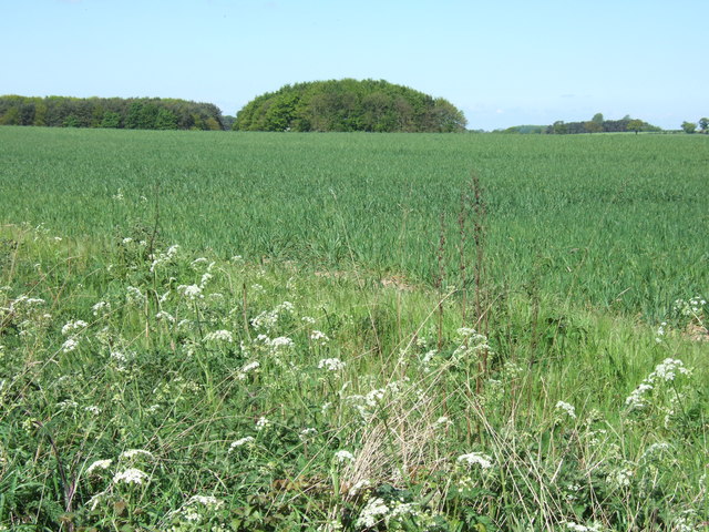
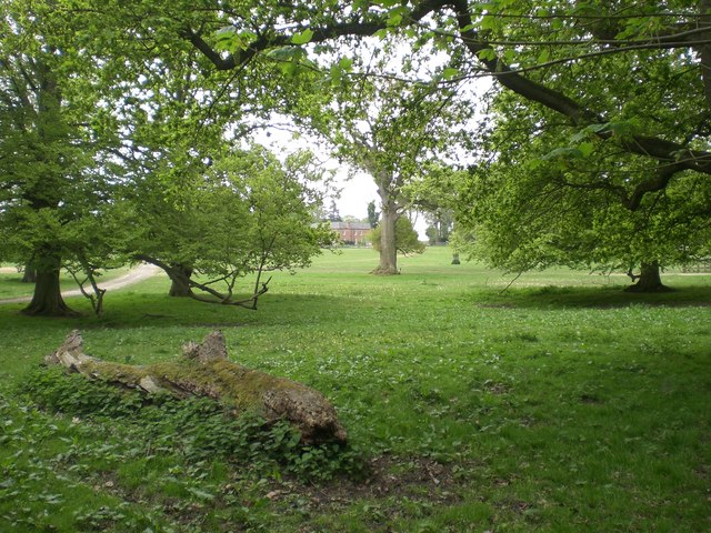
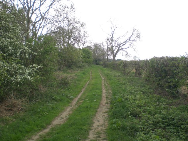
Boxton Bush Plantation is a picturesque woodland located in Norfolk, England. Nestled in the heart of the county, this sprawling plantation covers an area of approximately 500 acres, making it one of the largest woodlands in the region. With its rich biodiversity and tranquil atmosphere, Boxton Bush Plantation offers a serene escape for nature enthusiasts and those seeking solace in the great outdoors.

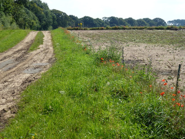
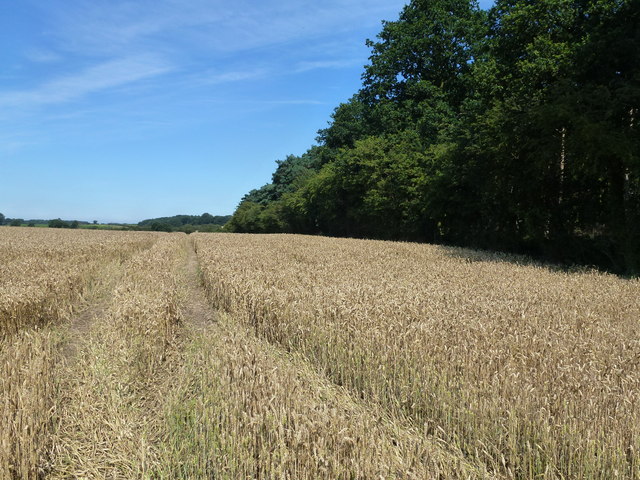
The plantation boasts a diverse range of tree species, including oak, beech, birch, and pine, which create a lush and vibrant canopy above. These trees provide shelter for a plethora of wildlife, from small mammals like rabbits and squirrels to a variety of bird species, including woodpeckers and owls. The forest floor is adorned with a colorful carpet of wildflowers, creating a visually stunning landscape throughout the year.

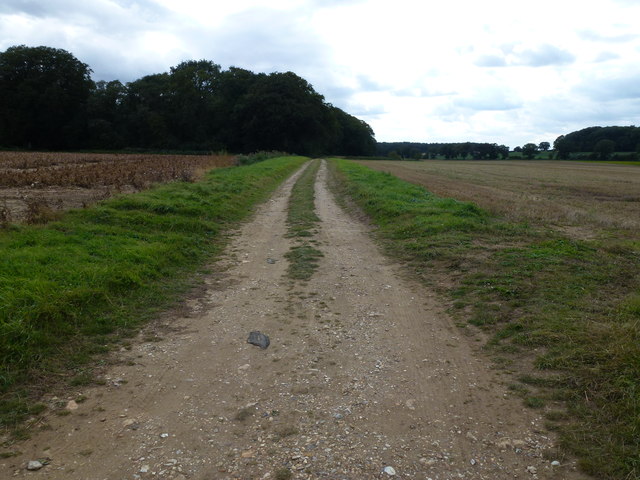
Visitors to Boxton Bush Plantation can explore its numerous walking trails, which wind their way through the woodland, offering glimpses of hidden ponds, bubbling streams, and ancient ruins. The trails cater to all levels of fitness, from leisurely strolls to more challenging hikes, ensuring there is something for everyone to enjoy.

Nature lovers will also appreciate the opportunity for wildlife spotting, as the plantation is home to several rare and protected species, such as the Norfolk hawker dragonfly and the white admiral butterfly. Additionally, the plantation offers nature education programs and guided tours, allowing visitors to deepen their understanding of the local ecosystem and conservation efforts.

Overall, Boxton Bush Plantation is a natural haven, providing a sanctuary for both flora and fauna. Its idyllic setting, diverse wildlife, and well-maintained trails make it a must-visit destination for those seeking a peaceful retreat in the heart of Norfolk.

If you have any feedback on the listing, please let us know in the comments section below.

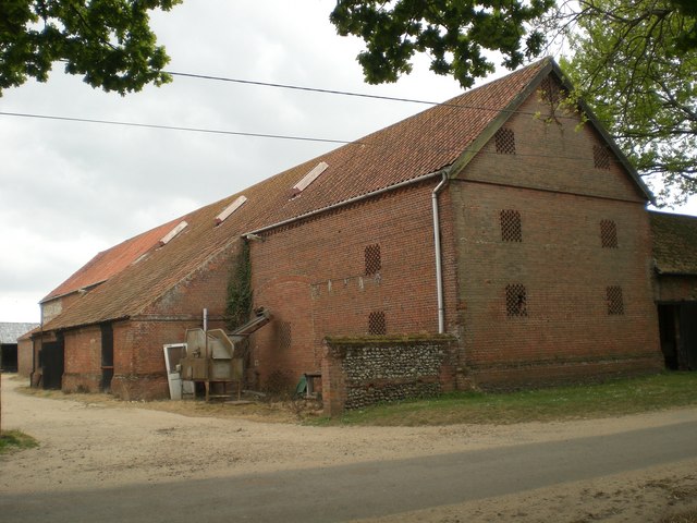
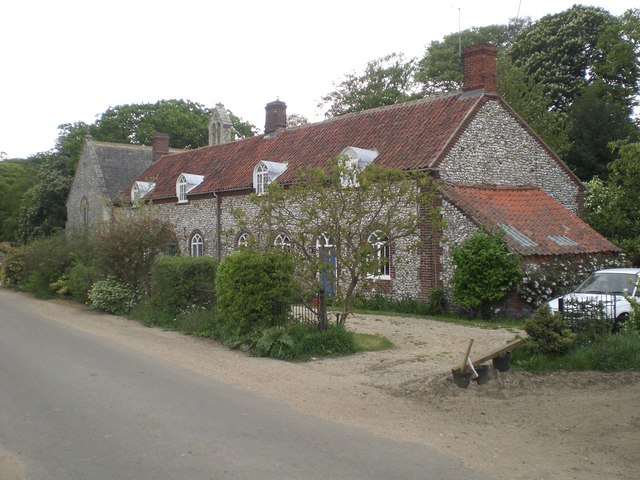
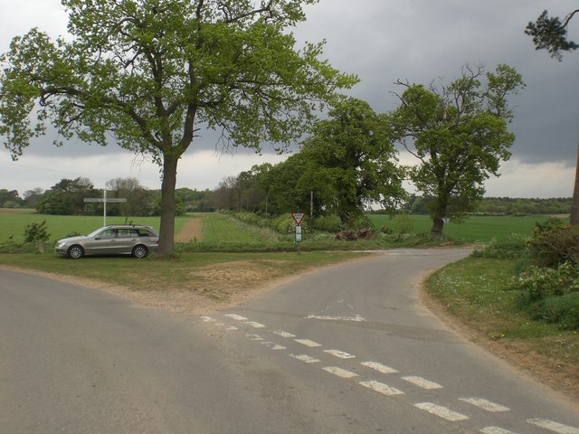
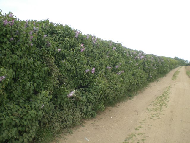
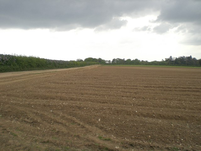
Boxton Bush Plantation Images

Images are sourced within 2km of 52.849807/0.66979503 or Grid Reference TF7931. Thanks to Geograph Open Source API. All images are credited.

Farmland near Barmer Common Plantation West of Syderstone in Norfolk
Farmland near Barmer Common Plantation
West of Syderstone in Norfolk
Remote undulating lane in the middle of nowhere Heading towards North Pole Farm in Norfolk
Remote undulating lane in the middle of nowhere
Heading towards North Pole Farm in Norfolk
Flint and sand track in Norfolk Between Bagthorpe and Frizzleton Farm
Flint and sand track in Norfolk
Between Bagthorpe and Frizzleton Farm
Track at the side of Berlin Plantation Near Bagthorpe in Norfolk
Track at the side of Berlin Plantation
Near Bagthorpe in Norfolk
Wheatfield next to Barmer Common Plantation A footpath runs at the edge of the plantation
Wheatfield next to Barmer Common Plantation
A footpath runs at the edge of the plantation
Barn, Bagthorpe Hall Farm
Bagthorpe Hall Glimpsed south east through its surrounding park - bed & breakfast available <span class="nowrap"><a title="http://www.bagthorpehall.co.uk/" rel="nofollow ugc noopener" href="http://www.bagthorpehall.co.uk/">Link</a><img style="margin-left:2px;" alt="External link" title="External link - shift click to open in new window" src="https://s1.geograph.org.uk/img/external.png" width="10" height="10"/></span>
Bagthorpe Hall
Glimpsed south east through its surrounding park - bed & breakfast available LinkExternal link
Farm house, Bagthorpe Hall Farm A pleasingly simple piece of architecture - Grade II listed.  Recently restored - I doubt the farmer and his family live there any more.
Farm house, Bagthorpe Hall Farm
A pleasingly simple piece of architecture - Grade II listed. Recently restored - I doubt the farmer and his family live there any more.
St Mary the Virgin, Bagthorpe Now in the care of Norfolk Churches Trust <span class="nowrap"><a title="http://www.norfolk-churches.co.uk/" rel="nofollow ugc noopener" href="http://www.norfolk-churches.co.uk/">Link</a><img style="margin-left:2px;" alt="External link" title="External link - shift click to open in new window" src="https://s1.geograph.org.uk/img/external.png" width="10" height="10"/></span> with only occasional services. Grade II listed.
St Mary the Virgin, Bagthorpe
Now in the care of Norfolk Churches Trust LinkExternal link with only occasional services. Grade II listed.
Cottages at Bagthorpe next to the church Next to and matching the church. Grade II listed.
Cottages at Bagthorpe next to the church
Next to and matching the church. Grade II listed.
Crossroads between Syderstone and Bircham Tofts
Lilac hedge near Bagthorpe A field hedge at least 500m from the nearest garden where the predominant growth over a length of some 100m is lilac - in bloom in this photograph
Lilac hedge near Bagthorpe
A field hedge at least 500m from the nearest garden where the predominant growth over a length of some 100m is lilac - in bloom in this photograph
Cultivated field near Bagthorpe Not possible to identify the crop as due to the drought in this area there is no visible growth - probably carrots given the shape of the seed beds.  The hedge on the left is predominantly lilac - see Supplemental <a title="https://www.geograph.org.uk/photo/424810" href="https://www.geograph.org.uk/photo/424810">Link</a>
Cultivated field near Bagthorpe
Not possible to identify the crop as due to the drought in this area there is no visible growth - probably carrots given the shape of the seed beds. The hedge on the left is predominantly lilac - see Supplemental Link
Track near Bircham Common
Field barn near Bircham Tofts Not typical of field barns in this area - large opening on the north side (the opening visible in this picture) and with an enclosure on the southern side open to the west.
Field barn near Bircham Tofts
Not typical of field barns in this area - large opening on the north side (the opening visible in this picture) and with an enclosure on the southern side open to the west.
Fork in the track near Bircham Tofts Left to Bagthorpe and right, eventually, to West Rudham.  The dark sky promised rain that only came early the next morning.
Fork in the track near Bircham Tofts
Left to Bagthorpe and right, eventually, to West Rudham. The dark sky promised rain that only came early the next morning.
Polish Plantation, Bagthorpe
Bagthorpe viewed south east across strawberry field Seymour's Grove on the left
Bagthorpe viewed south east across strawberry field
Seymour's Grove on the left
Show me another place!

Boxton Bush Plantation is located at Grid Ref: TF7931 (Lat: 52.849807, Lng: 0.66979503)

Administrative County: Norfolk

District: King's Lynn and West Norfolk

Police Authority: Norfolk

What 3 Words

///bystander.emeralds.episodes. Near Dersingham, Norfolk

Related Wikis

Bagthorpe, Norfolk

Bagthorpe is a village and former civil parish, now in the parish of Bagthorpe with Barmer, in the King's Lynn and West Norfolk district, in the county...

Bagthorpe with Barmer

Bagthorpe with Barmer is a civil parish in the English county of Norfolk. The parish includes the hamlets of Bagthorpe and Barmer, it is around 7+1⁄2 miles...

Bircham Tofts

Bircham Tofts is one of the three villages that make up the civil parish of Bircham, in the west of the English county of Norfolk. The village is located...

Houghton Hall

Houghton Hall ( HOW-tən) is a country house in the parish of Houghton in Norfolk, England. It is the residence of David Cholmondeley, 7th Marquess of Cholmondeley...

Bircham

Bircham is a civil parish in the English county of Norfolk. It includes the three villages of Great Bircham, Bircham Newton and Bircham Tofts. The parish...

St Martin at Tours' Church, Houghton

St Martin at Tours' Church is an active Church of England parish church in the village of Houghton, Norfolk, England. It is a Grade I listed building...

St Mary the Virgin's Church, Great Bircham

St Mary's Church, Great Bircham dates from the 12th-century, and is a Grade I listed parish church in the Church of England Diocese of Norwich in Great...

Syderstone Common

Syderstone Common is a 43.7-hectare (108-acre) biological Site of Special Scientific Interest west of Fakenham in Norfolk. An area of 24-hectare (59-acre...

Nearby Amenities

Located within 500m of 52.849807,0.66979503
Fixme: Does a Public Footpath leave the road and head NNE from here?
Note: Definitive Statetment suggests Bagthorpe with Barmer FP 5 ends here
Lat/Long: 52.8506905/0.6703955
The data included in this document is from www.openstreetmap.org. The data is made available under ODbL.

Have you been to Boxton Bush Plantation?

Leave your review of Boxton Bush Plantation below (or comments, questions and feedback).