Alder Wood

Wood, Forest in Essex Braintree

England

Alder Wood

Cropmarks on field east of Braintree: aerial 2022 (1)
Cropmarks on field east of Braintree: aerial 2022 (1) Credit: Simon Tomson

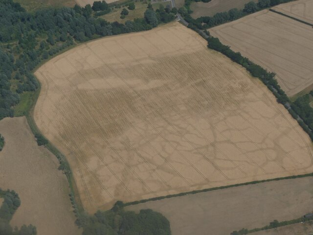
Alder Wood is a picturesque forest located in the county of Essex, England. Spanning over a vast area, it is home to a diverse range of flora and fauna, providing a serene and tranquil environment for visitors to immerse themselves in nature.

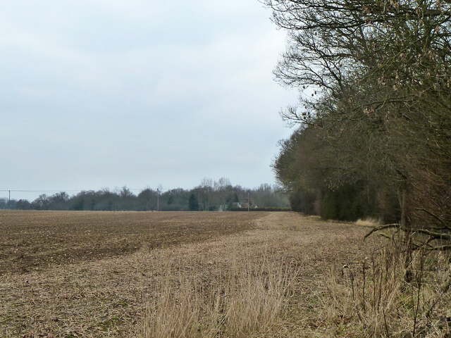
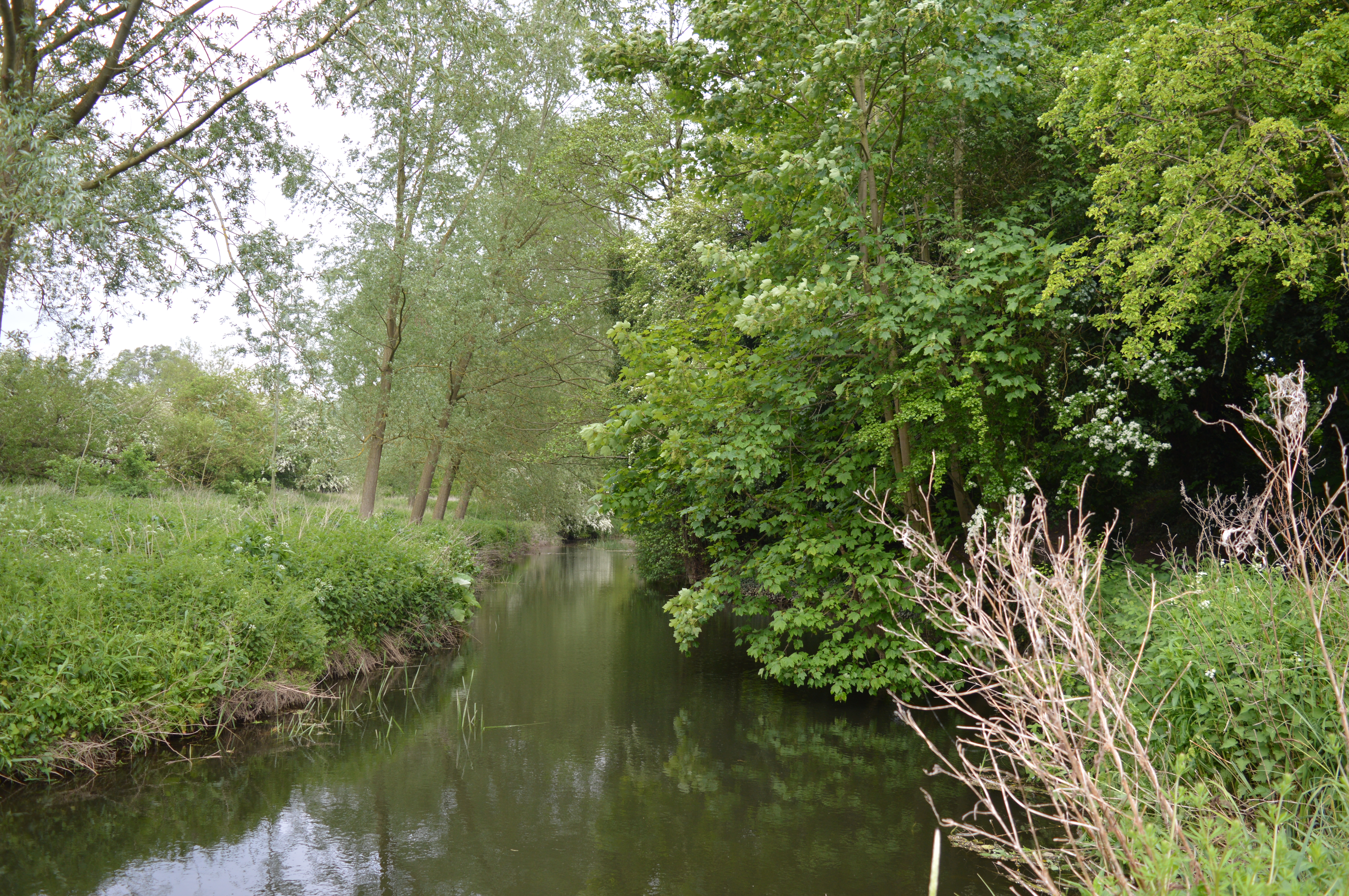
The wood is predominantly composed of alder trees, hence its name. These trees thrive in the damp and marshy conditions found in the area, making it an ideal habitat for them. The presence of alder trees also contributes to the unique ecosystem of the wood, attracting various bird species, such as woodpeckers and warblers, as well as small mammals like squirrels and rabbits.

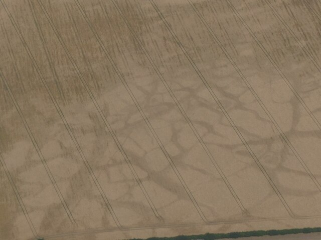
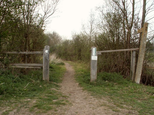
The forest is crisscrossed by numerous walking trails, allowing visitors to explore and enjoy its beauty. The paths wind through the dense foliage, offering glimpses of enchanting wildflowers, moss-covered rocks, and babbling brooks along the way. In spring, the forest floor comes alive with a vibrant carpet of bluebells, creating a breathtaking sight.

Alder Wood is not only a haven for nature enthusiasts but also serves as an important ecological site. The wetland areas within the wood play a crucial role in filtering water and maintaining the balance of the local ecosystem. Additionally, the forest provides a natural barrier against erosion, protecting nearby areas from flooding and soil degradation.

With its abundance of natural beauty and ecological significance, Alder Wood is a popular destination for hikers, birdwatchers, and anyone seeking a peaceful retreat in the heart of Essex. It offers a delightful escape from the hustle and bustle of daily life, allowing visitors to connect with nature and appreciate the wonders of the forest.

If you have any feedback on the listing, please let us know in the comments section below.
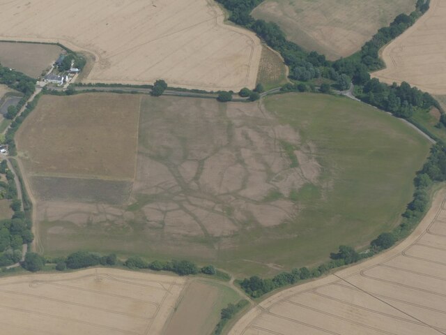
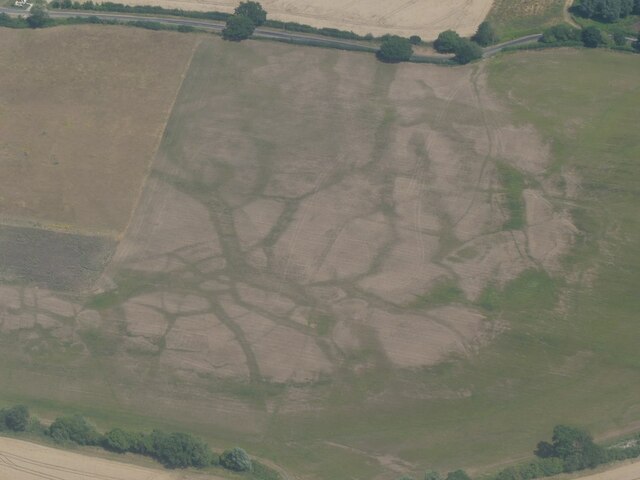
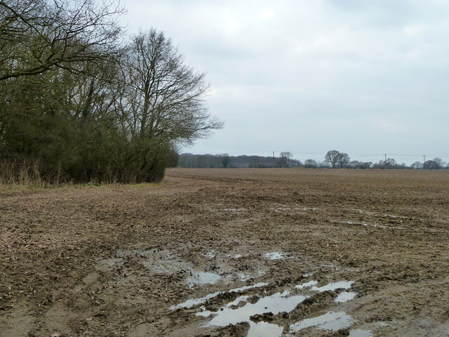
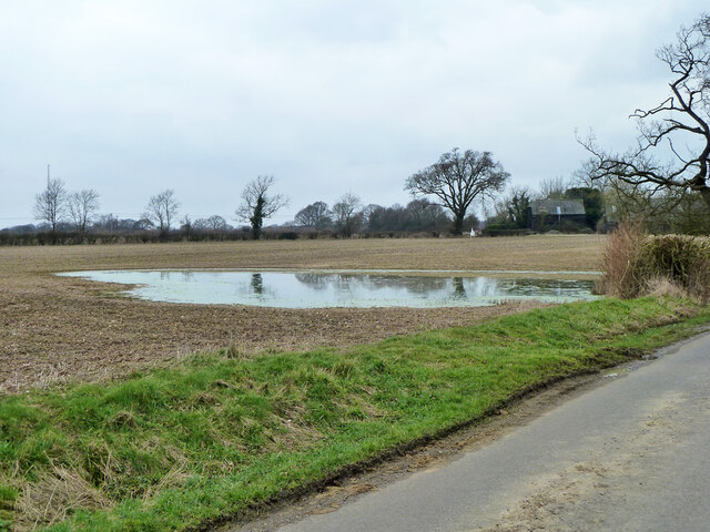
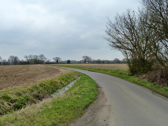
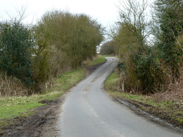
Alder Wood Images

Images are sourced within 2km of 51.903989/0.59522452 or Grid Reference TL7826. Thanks to Geograph Open Source API. All images are credited.

Cropmarks on field east of Braintree: aerial 2022 (1)
Cropmarks on field east of Braintree: aerial 2022 (2)
Stisted Hall: aerial 2022 (1)
Stisted Hall: aerial 2022 (2)
Cropmarks on field near Kentish Farm, NW of Stisted: aerial 2022 (1)
Start of 30 limit, Bocking Churchstreet On Church Street.
Start of 30 limit, Bocking Churchstreet
On Church Street.
Field edge by The Slip The Slip being the small wood on the right, the name seems not to relate to the ground conditions (the ground is level) but to its size and shape.
Field edge by The Slip
The Slip being the small wood on the right, the name seems not to relate to the ground conditions (the ground is level) but to its size and shape.
Muddy field corner West of Rayne Hatch Road.
Muddy field corner
West of Rayne Hatch Road.
Flooded field by Boultwood Farm Road
Boultwood Farm Road This appears to be the name used by the highway authority (Essex), although the farm is Boultwoods or Boultwood's.
Boultwood Farm Road
This appears to be the name used by the highway authority (Essex), although the farm is Boultwoods or Boultwood's.
Stream crossing on Boultwood Farm Road Near Kentishes Farm.
Stream crossing on Boultwood Farm Road
Near Kentishes Farm.
House on Gosfield Road, High Garrett
The Hare and Hounds, High Garrett
Houses on Gosfield Road, High Garrett
Kings Lane, Stisted
Kings Lane, Stisted
Henham's Farm, just north of Stisted, Essex
Stisted Chapel This is a long redundant independent chapel in Stisted. It was opened in 1835 and was “rebuilt” in 1980 as a private house.
Stisted Chapel
This is a long redundant independent chapel in Stisted. It was opened in 1835 and was “rebuilt” in 1980 as a private house.
Show me another place!

Alder Wood is located at Grid Ref: TL7826 (Lat: 51.903989, Lng: 0.59522452)

Administrative County: Essex

District: Braintree

Police Authority: Essex

What 3 Words

///grants.bugs.sugars. Near Gosfield, Essex

Related Wikis

Nearby Amenities

Located within 500m of 51.903989,0.59522452
Power: pole
Lat/Long: 51.9005148/0.5929023
Power: pole
Lat/Long: 51.9013919/0.5929881
Power: pole
Lat/Long: 51.9029078/0.5931008
Power: pole
Lat/Long: 51.9049235/0.5933207
Power: pole
Lat/Long: 51.9059859/0.5940396
Power: pole
Lat/Long: 51.9070416/0.5947691
Power: pole
Lat/Long: 51.9080775/0.5954987
Power: pole
Lat/Long: 51.8999984/0.5920118
Power: pole
Lat/Long: 51.9009153/0.5921137
Power: pole
Lat/Long: 51.9027357/0.5922639
Power: pole
Lat/Long: 51.9036658/0.5923498
Power: pole
Lat/Long: 51.9051783/0.5924946
Power: pole
Lat/Long: 51.906249/0.5932805
Power: pole
Lat/Long: 51.907351/0.5940905
Power: pole
Lat/Long: 51.9084084/0.5948737
The data included in this document is from www.openstreetmap.org. The data is made available under ODbL.

Have you been to Alder Wood?

Leave your review of Alder Wood below (or comments, questions and feedback).