Garners Hills Plantation

Wood, Forest in Norfolk King's Lynn and West Norfolk

England

Garners Hills Plantation

War Memorial, St Mary's Church, Brancaster
War Memorial, St Mary's Church, Brancaster Credit: Julian Dowse

Garners Hills Plantation, located in Norfolk, is a picturesque woodland in the heart of the county. Spanning over a vast area, the plantation is known for its stunning natural beauty, making it a popular destination for nature enthusiasts and outdoor enthusiasts alike.

The plantation is characterized by its dense forest, which is home to a diverse range of flora and fauna. The woodlands are mainly composed of mature oak, beech, and pine trees, creating a serene and tranquil atmosphere. Walking through the plantation, visitors can enjoy the peacefulness of the surrounding nature, with sunlight filtering through the canopy of trees.

Garners Hills Plantation is not only a haven for plant life, but also a sanctuary for various wildlife species. The thick vegetation provides a habitat for numerous bird species, including woodpeckers, owls, and songbirds. Squirrels, rabbits, and deer are also commonly spotted in the woodland, adding to the charm and natural diversity of the area.

In addition to its natural appeal, Garners Hills Plantation offers recreational activities for visitors to enjoy. Well-maintained trails wind through the woodland, providing opportunities for hiking, jogging, and cycling. The plantation also features picnic areas, allowing visitors to relax and soak in the peaceful ambiance while enjoying a meal surrounded by nature.

Overall, Garners Hills Plantation is a hidden gem in Norfolk, offering a retreat from the bustling city life. With its enchanting woodland, diverse wildlife, and recreational opportunities, the plantation provides a perfect escape for those seeking solace in nature.

If you have any feedback on the listing, please let us know in the comments section below.

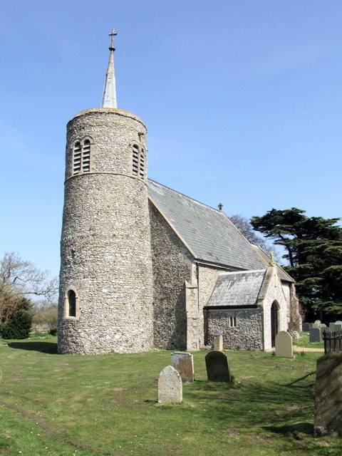
Garners Hills Plantation Images

Images are sourced within 2km of 52.951429/0.65760584 or Grid Reference TF7842. Thanks to Geograph Open Source API. All images are credited.

War Memorial, St Mary's Church, Brancaster
Brancaster Staithe Quay The quay was renovated in 2007 and is used regularly by fishing vessels.
Brancaster Staithe Quay
The quay was renovated in 2007 and is used regularly by fishing vessels.
Green Common Lane, Brancaster
The Ship Hotel, Brancaster
Yours for £1.5 million !!! Rather a nice property for sale, Cross Lane, Brancaster. Six bedrooms, 5 bathrooms and sea views don't come cheap.
Yours for £1.5 million !!!
Rather a nice property for sale, Cross Lane, Brancaster. Six bedrooms, 5 bathrooms and sea views don't come cheap.
Very narrow footpath in Brancaster Cutting a large grass paddock in two which is currently home to a couple of very friendly and inquisitive horses
Very narrow footpath in Brancaster
Cutting a large grass paddock in two which is currently home to a couple of very friendly and inquisitive horses
Creek Farm near Brancaster There are hundreds of acres of salt marsh to the north of this house
Creek Farm near Brancaster
There are hundreds of acres of salt marsh to the north of this house
House near the marsh at Brancaster Staithe
Buoys in a boat at Brancaster Staithe
High and dry at Brancaster Staithe Fishing boat LN86 waiting for the next tide
High and dry at Brancaster Staithe
Fishing boat LN86 waiting for the next tide
Fishing boats at low tide, Brancaster Staithe Fishing boats and the new steel and concrete quay built in 2007 to replace the timber one.
Fishing boats at low tide, Brancaster Staithe
Fishing boats and the new steel and concrete quay built in 2007 to replace the timber one.
All the colours of the rainbow at Brancaster Staithe Fishing nets and boats near the quay in this tiny fishing harbour
All the colours of the rainbow at Brancaster Staithe
Fishing nets and boats near the quay in this tiny fishing harbour
Orange and white or yellow and black A modern RAC van and a listed AA phone box near Brancaster
Orange and white or yellow and black
A modern RAC van and a listed AA phone box near Brancaster
Old Milestone Old milestone on the A149 near to Brancaster, Norfolk. For overall view see <a title="https://www.geograph.org.uk/photo/2667466" href="https://www.geograph.org.uk/photo/2667466">Link</a> For restored view see <a title="https://www.geograph.org.uk/photo/5295556" href="https://www.geograph.org.uk/photo/5295556">Link</a>
Old Milestone
Old milestone on the A149 near to Brancaster, Norfolk. For overall view see Link For restored view see Link
Kings Lynn 23 Old milestone on the A149 near to Brancaster, Norfolk. For close up view see <a title="https://www.geograph.org.uk/photo/2667461" href="https://www.geograph.org.uk/photo/2667461">Link</a> For restored view see <a title="https://www.geograph.org.uk/photo/5295556" href="https://www.geograph.org.uk/photo/5295556">Link</a>
Kings Lynn 23
Old milestone on the A149 near to Brancaster, Norfolk. For close up view see Link For restored view see Link
Box 530 Old AA phone box near to Brancaster, Norfolk. For detail views see <a title="https://www.geograph.org.uk/photo/2668267" href="https://www.geograph.org.uk/photo/2668267">Link</a> <a title="https://www.geograph.org.uk/photo/2668272" href="https://www.geograph.org.uk/photo/2668272">Link</a>
Box 530
Old AA phone box near to Brancaster, Norfolk. For detail views see Link Link
AA Logo AA logo on the old AA phone box near to Brancaster, Norfolk. Also see <a title="https://www.geograph.org.uk/photo/2668259" href="https://www.geograph.org.uk/photo/2668259">Link</a> <a title="https://www.geograph.org.uk/photo/2668272" href="https://www.geograph.org.uk/photo/2668272">Link</a>
AA Logo
AA logo on the old AA phone box near to Brancaster, Norfolk. Also see Link Link
Brancaster Box The top of the old AA phone box near to Brancaster, Norfolk also see <a title="https://www.geograph.org.uk/photo/2668259" href="https://www.geograph.org.uk/photo/2668259">Link</a> <a title="https://www.geograph.org.uk/photo/2668267" href="https://www.geograph.org.uk/photo/2668267">Link</a>
Brancaster Box
The top of the old AA phone box near to Brancaster, Norfolk also see Link Link
Show me another place!

Garners Hills Plantation is located at Grid Ref: TF7842 (Lat: 52.951429, Lng: 0.65760584)

Administrative County: Norfolk

District: King's Lynn and West Norfolk

Police Authority: Norfolk

What 3 Words

///musical.chimp.intruders. Near Hunstanton, Norfolk

Related Wikis

Branodunum

Branodunum was an ancient Roman fort to the east of the modern English village of Brancaster in Norfolk. Its Roman name derives from the local Celtic language...

Brancaster

Brancaster is a village and civil parish on the north coast of the English county of Norfolk. The civil parish of Brancaster comprises Brancaster itself...

Brancaster Staithe

Brancaster Staithe is a village on the north coast of the English county of Norfolk. Brancaster Staithe merges with Burnham Deepdale, forming one village...

St Mary's Church, Burnham Deepdale

St Mary's Church is a round-tower church in Burnham Deepdale, Norfolk, England. Its round tower and some other parts of the building date from the 11th...

Titchwell

Titchwell is a village and civil parish in Norfolk, England. It is situated on the north Norfolk coast some 2 km (1.2 mi) west of the village of Brancaster...

Royal West Norfolk Golf Club

Royal West Norfolk Golf Club is a golf club in Brancaster, Norfolk, England, about 7 miles (11 km) east of Hunstanton, between Brancaster Bay and the salt...

RAF Docking

Royal Air Force Docking or more simply RAF Docking is a former Royal Air Force satellite station a few miles from Bircham Newton in Norfolk, England....

Titchwell Marsh

Titchwell Marsh is an English nature reserve owned and managed by the Royal Society for the Protection of Birds (RSPB). Located on the north coast of the...

Nearby Amenities

Located within 500m of 52.951429,0.65760584
Give Way
Lat/Long: 52.9523867/0.6623246
Give Way
Lat/Long: 52.9524675/0.6625452
Give Way
Lat/Long: 52.9525196/0.662456
The data included in this document is from www.openstreetmap.org. The data is made available under ODbL.

Have you been to Garners Hills Plantation?

Leave your review of Garners Hills Plantation below (or comments, questions and feedback).